

Slieve Croob
Good walks are even better shared.
J3145 : Telecommunications masts on Slieve Croob
Eric Jones Photo source
Overview
Slieve Croob (534 m) is the highest of the Dromara Hills in County Down, Northern Ireland, with views towards the Mourne Mountains. The usual ascent follows the private transmitter road from Dree Hill car park, then crosses rough ground and stiles to the summit cairn and trig pillar. Access is permissive and on foot; dogs are not allowed because sheep graze the mountain.
Slieve Croob
Slieve Croob rises to 534 m in the Dromara Hills of County Down, Northern Ireland. Its open summit looks across lower farmland towards the high Mournes, and the River Lagan begins on its slopes. The masts are conspicuous, but so are the wide views.
The transmitter-road ascent
Start at Dree Hill car park, J300453, west of the summit. Pass through the pedestrian gate and follow the surfaced service road uphill to its end near the transmitter buildings. Leave the road for the short, rough summit approach, using the stiles to reach the cairn and trig pillar. Return by the same route.
There are steep sections, and the final grass and rock can be muddy or slippery. The council leaflet calls this walk Moderate; OutmoreNI currently gives it a Strenuous desk-based grade. The road surface does not make the full summit route step-free: the summit approach has stiles and uneven ground.
Access and safety
Access is permissive and on foot. Dogs are not allowed, because sheep graze the open mountain. Keep to the road across the privately owned grazing land and use the summit stiles; keep out of the transmitter compounds. Service vehicles occasionally use the road.
The summit is exposed to wind and cold, with conditions potentially much worse than at the car park. Mud and wet grass need care, and winter snow or ice can make even the surfaced section slippery.
The longer Pass Loanin route starts at Finnis/Massford and crosses open mountain before joining the transmitter road. It is a different walk. The council leaflet advises using that open-hill section only in clear weather, when its waymarkers can be seen; it also includes boggy ground and public-road walking.
Views, rocks and heritage
Clear weather brings views of the Mournes, Lough Neagh, Belfast, the Ards Peninsula and Strangford Lough. The summit rocks are Silurian metasediments, including hornfels formed by heating beside the Devonian Newry Igneous Complex. They have a different geological history from the younger granite peaks to the south.
The cairn remains are associated with the name The Twelve Cairns. Their interpretation as an ancient burial monument is probable, not certain. Blaeberry Sunday, also called Cairn Sunday, is traditionally marked by a climb on the first Sunday in August.
The name is commonly interpreted as mountain of the hoof. Paul Tempan’s place-name research proposes lump-mountain, possibly retaining a Brittonic word related to Welsh crwb. The etymology remains disputed.
Planning the visit
Dree Hill has parking and a sculpture about the River Lagan, but no toilets. The approach from Finnis/Massford is narrow and partly single-track. Plan public transport to Dromara or Finnis through Translink and arrange the onward journey to the hill.
Slievenisky (446 m) and Cratlieve (429 m) are neighbouring Dromara Hills summits. These names identify nearby hills; the transmitter-road walk described here returns to Dree Hill without visiting them.
Explore routes near Slieve Croob
Walks starting near this hill. Open a route to check its map, distance and full itinerary.
Castlewellan Forest Park: Lake, Arboretum and Mitchell's Lake Circuit
View route
Tollymore Forest Park: River Trail near Newcastle
View route
Newcastle, Co. Down (NI) with Men Walking & Talking
View route
Drumbeg to Hilden Bridge: Lagan Towpath, Lambeg and Canal Locks
View route
Route planning notes
These notes describe possible approaches. Check a route's map and access information when planning your walk.
Slieve Croob via the transmitter road
From Dree Hill car park (J300453), follow the private transmitter road uphill. At its end, cross the summit stiles over rough, sometimes muddy ground to the cairn and trig pillar; return the same way. Permissive pedestrian access only: no dogs; keep to the road across private grazing land. The council leaflet grades this Moderate; OutmoreNI currently lists Strenuous. Expect steep sections and an exposed summit.
Make a day of it, together
Find someone to share the walk with, or organise a day out along a route you like.
Photo Gallery
View all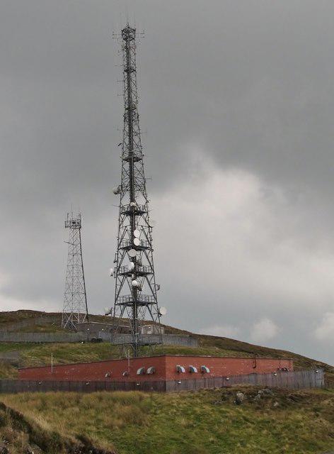 Photo could not load
J3145 : Telecommunications masts on Slieve Croob
Eric Jones
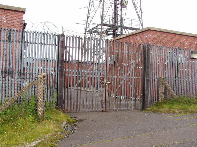 Photo could not load
J3145 : The entrance to one of the mast compounds on Slieve Croob
HENRY CLARK
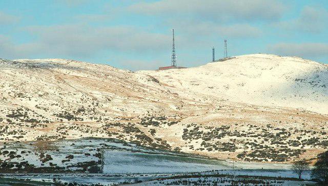 Photo could not load
J3145 : Snow on Slieve Croob
Albert Bridge
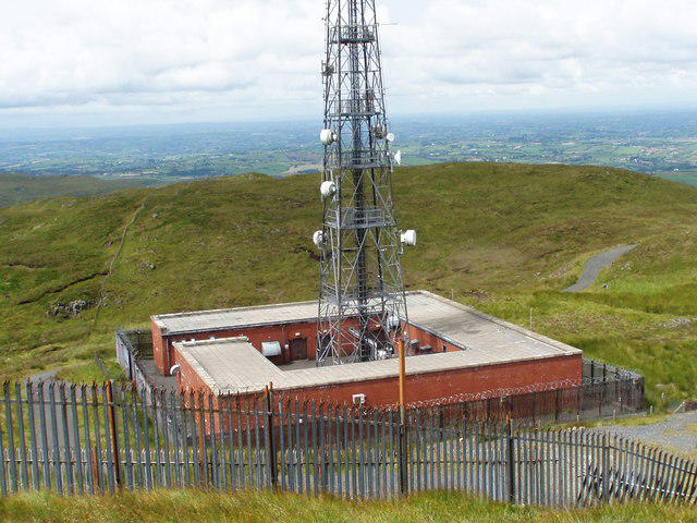 Photo could not load
J3145 : The masts on the top of Slieve Croob
HENRY CLARK
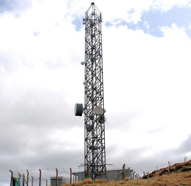 Photo could not load
J3145 : The path to Slieve Croob (11)
Albert Bridge
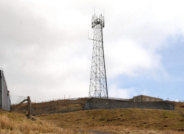 Photo could not load
J3145 : The path to Slieve Croob (13)
Albert Bridge
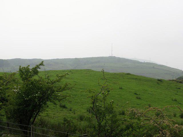 Photo could not load
J3145 : Aerials on Slieve Croob
Eric Jones
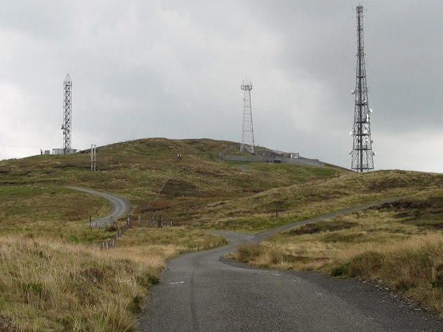 Photo could not load
J3145 : Telecommunications masts on the summit of Slieve Coob
Eric Jones
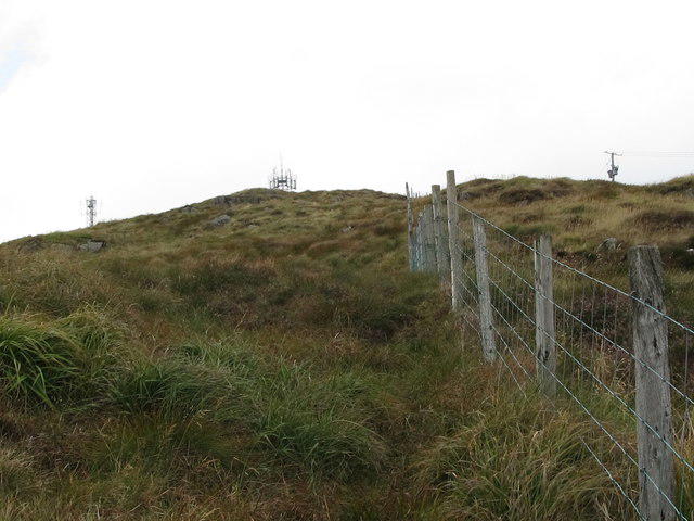 Photo could not load
J3145 : Boundary fence below the summit of Slieve Croob
Eric Jones
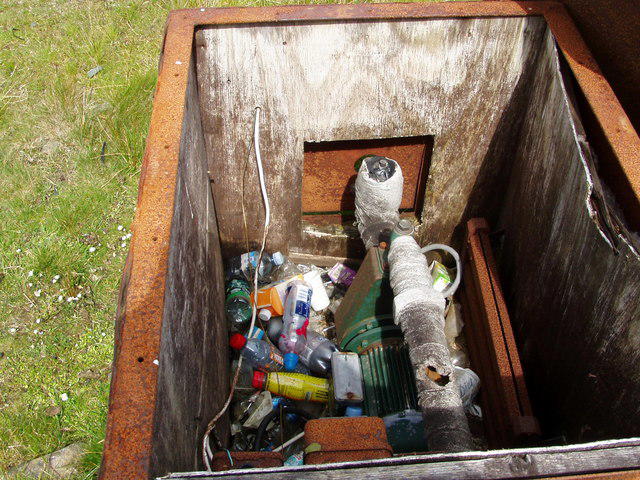
J3145 : Litter louts on Slieve Croob
HENRY CLARK
Hill facts and local notes
Classifications
Elevation
534m
1,752 ft
Prominence
436m
Coordinates
54.3400, -5.9735
J318453
OS Map
20
At the Summit
Cairn remains, a trig pillar and a windshelter occupy the summit area, close to communication masts and fenced transmitter compounds. The final approach leaves the surfaced road and crosses rough ground and stiles.
Terrain & Geology
The summit exposes Silurian sedimentary rocks altered by heat into hornfels and locally fused material beside the Devonian granodiorite of the Newry Igneous Complex. This geology is much older than the Palaeogene granite of the high Mournes.
Views & Scenery
In clear weather, views take in the Mourne Mountains, Lough Neagh, the Belfast Hills, the Ards Peninsula and Strangford Lough, with the County Down coast beyond. Farther views depend on visibility.
History & Heritage
Name Origin
The traditional interpretation is Sliabh Crúibe, meaning mountain of the hoof. Place-name specialist Paul Tempan instead proposes Sliabh Crúb, lump-mountain, with a possible Brittonic element related to Welsh crwb (lump or hump). The origin is debated.
Historical Significance
The damaged summit cairn is associated with the local name The Twelve Cairns; its interpretation as an ancient burial monument is probable rather than certain. The mountain is linked with the Blaeberry Sunday or Cairn Sunday ascent, traditionally held on the first Sunday in August.
Getting There & Facilities
Parking
Dree Hill car park, off Dree Hill Road west of the summit, at grid reference J300453. The approach from Finnis/Massford climbs a narrow road that is single-track in places. Leave gates and farm access clear.
Public Transport
Plan buses to Dromara or Finnis/Massford with Translink. The Dree Hill trailhead is farther uphill on a narrow rural road, so arrange onward travel and check the return journey before setting out: https://journeyplanner.translink.co.uk/web/XSLT_TRIP_REQUEST2?language=en
Nearby Facilities
Dree Hill has a car park and an interpretation sculpture about the River Lagan. There are no toilets at the trailhead.
Safety Information
Known Hazards
- The summit is exposed to strong wind, cold and poor visibility; the weather can be much harsher than at the car park.
- The road has steep sections. Muddy, uneven ground and stiles on the final summit approach can be slippery.
- Watch for sheep and occasional service vehicles on the transmitter road. Keep out of transmitter compounds.
Seasonal Hazards
In winter, snow and ice can make the surfaced ascent slippery. Exposed summit wind can increase the cold considerably.
General Safety Tips
- Check weather conditions before setting out
- Carry appropriate clothing and equipment
- Let someone know your planned route
- Take a map, compass, and GPS device
- Carry emergency supplies: food, water, first aid kit, torch
Hills
Some common questions about the hills answered
Are there group walks up Slieve Croob?
Many walkers use Walkmates to join or organise walks with others. You can check for group walks around Slieve Croob through the maps
Are there other walkers around Slieve Croob?
Activity varies by location and time, but Walkmates lets you see whether others have shared walks or shown interest in this area. Find other people through the walking friends search walking friends for Slieve Croob search or of course create your own walk for Slieve Croob
Can I organise a walk to Slieve Croob?
Yes. If there aren’t any walks listed already, you can create a walk and make it available for others to join.
If you're signed up to Walkmates, you can create a walk to Slieve Croob.
How do I find a walk up this hill?
There are often multiple ways to walk this hill, depending on experience and route preference. Walkmates helps you explore walks and routes that others have shared.
Can I suggest a new route up Slieve Croob?
Yes. You can suggest or create routes to share with others. Walkmates focuses on the social side of walking, so routes are used to help people organise walks and explore areas together, rather than as detailed navigation tools or route libraries.
Other uses really appreciate knowledgeable walkers sharing their routes. Share your favourite route to Slieve Croob here
The is an error or something incorrect about this hill. How do I let you know?
We always strive to keep the information on Walkmates as accurate as possible. If you find an error, please let us know through the contact form and we'll aim to correct it as quickly as possible
Community Discussion
Comments
Location
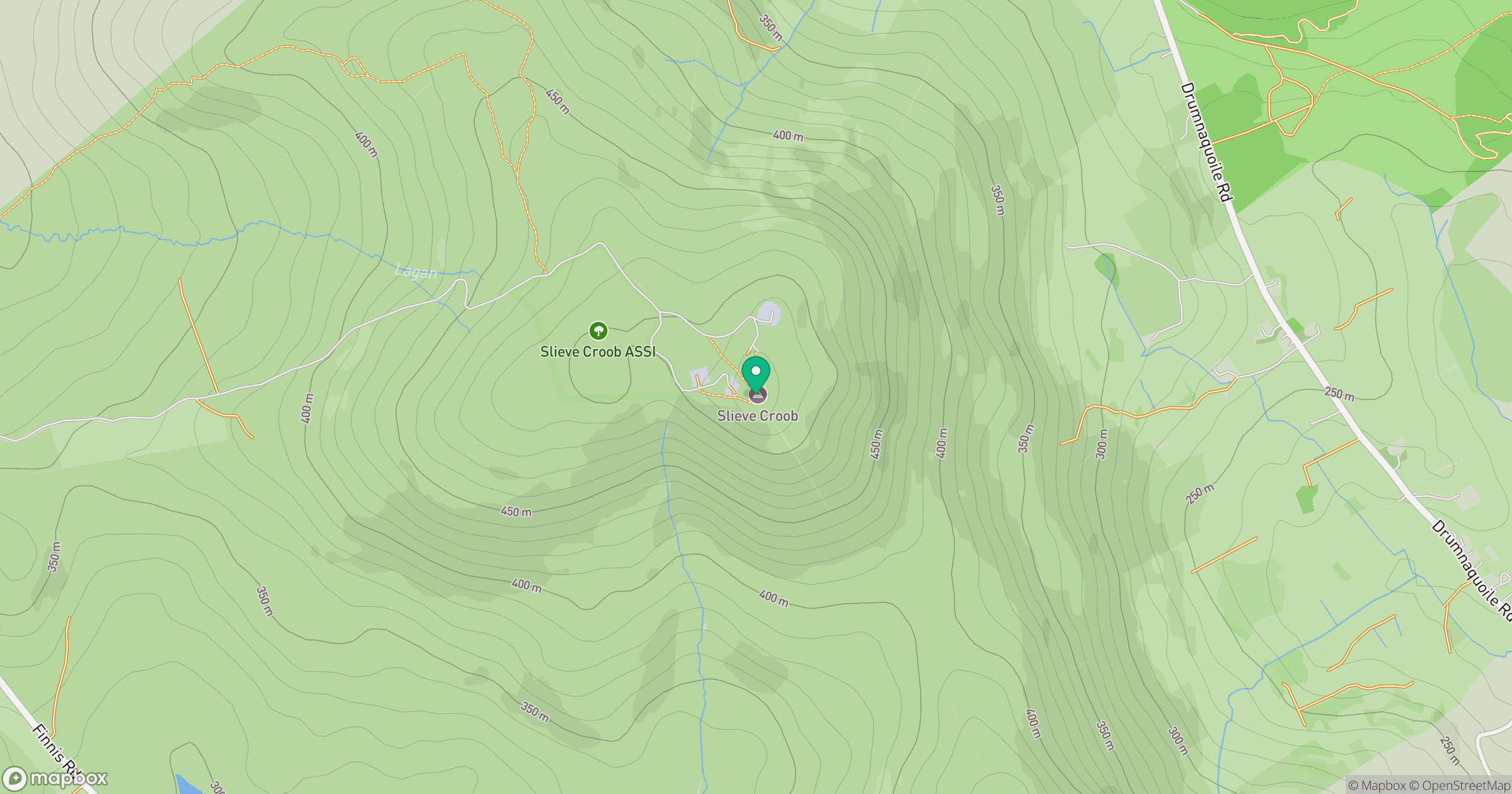
Grid reference: J318453
View on OpenStreetMapOpens a map in a new tab, centred on the hill.
Nearby Hills
Slieve Commedagh
767m
Slieve Bearnagh
739m
Slieve Donard
850m
Slievelamagan
702m
Slieve Binnian
746m
No comments yet. Be the first.