

Sgurr an Lochain
Good walks are even better shared.
NH0010 : South Glenshiel Ridge towards Bealach Sgurr an Lochain
Chris Wimbush Photo source
Explore routes near Sgurr an Lochain
Walks starting near this hill. Open a route to check its map, distance and full itinerary.
Glen Affric: Coire Loch Woodland Trail
View route
Banavie to Glen Loy Aqueduct: Neptune’s Staircase Canal Towpath
View route
Fort Augustus to Kytra Lock: Caledonian Canal Towpath
View route
Ben Nevis via Mountain Path
View route
Route planning notes
These notes describe possible approaches. Check a route's map and access information when planning your walk.
Glencoe Approach
A popular and scenic route starting from the Glencoe valley, offering stunning views and a straightforward ascent.
Coire Gabhail Route
This route takes you through the dramatic Coire Gabhail, also known as the 'Lost Valley.' It’s a bit steeper but rewards hikers with breathtaking views.
Make a day of it, together
Find someone to share the walk with, or organise a day out along a route you like.
Photo Gallery
View all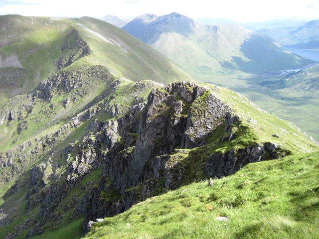 Photo could not load
NH0010 : South Glenshiel Ridge towards Bealach Sgurr an Lochain
Chris Wimbush
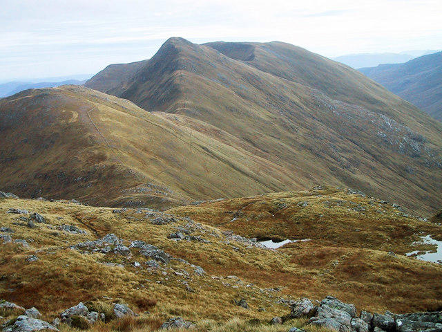 Photo could not load
NH0010 : View east from Creag nan Damh
Bill McWhirter
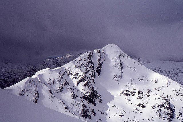 Photo could not load
NH0010 : Sgurr an Lochain
Jim Barton
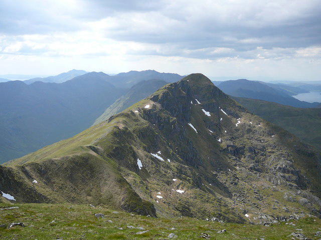 Photo could not load
NH0010 : Sgurr an Lochain from Sgurr an Doire Leathain
Colin Park
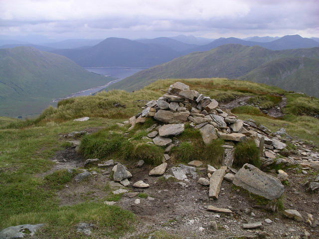 Photo could not load
NH0010 : Sgurr an Lochain : Munro No 131
Graham Ellis
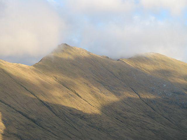 Photo could not load
NH0010 : Sgurr an Lochain
Richard Webb
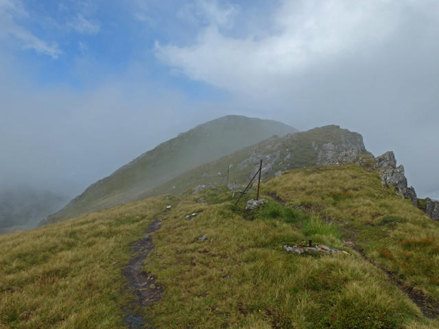 Photo could not load
NH0010 : Approach to the summit of Sgùrr an Lochain
John Allan
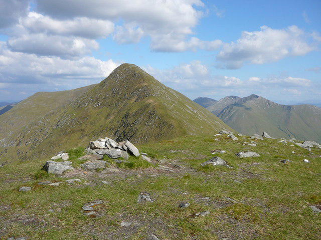 Photo could not load
NH0010 : Sgurr an Lochain from Sgurr Beag
Colin Park
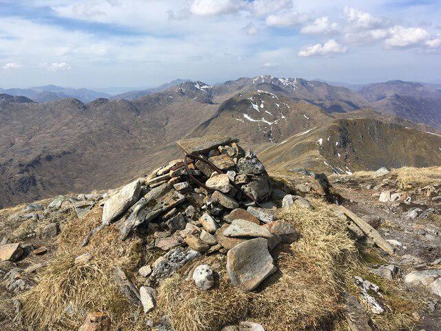 Photo could not load
NH0010 : Summit cairn on Sgurr an Lochain
Steven Brown
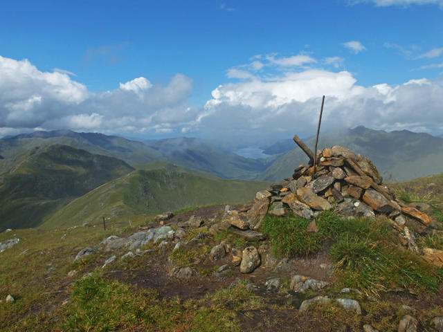
NH0010 : Summit cairn - Sgùrr an Lochain
John Allan
Hill facts and local notes
Classifications
Elevation
1,004m
3,294 ft
Prominence
123m
Coordinates
57.1413, -5.2975
NH005104
OS Map
33
Explorer: 414S
At the Summit
The summit is marked by a prominent cairn and a splendid panoramic view that would make any summit-seeker's heart skip a beat.
Terrain & Geology
Composed mainly of granite, Sgurr an Lochain is a prime example of the dramatic geological processes that shaped the Scottish Highlands. The rocky outcrops and rugged terrain tell a story of millennia of weathering and erosion.
Views & Scenery
From the summit, you can see the dramatic peaks of the surrounding Munros, the expanse of Rannoch Moor, and on a clear day, even the far-off Ben Nevis.
History & Heritage
Name Origin
The name 'Sgurr an Lochain' translates to 'Peak of the Little Loch', a nod to the small loch located nearby.
Historical Significance
Sgurr an Lochain is not only a favourite among hikers but also steeped in local folklore and history, often associated with the struggles and tales of the Clans.
Getting There & Facilities
Parking
The nearest parking is located at the end of the public road near the Glencoe Visitor Centre. It can get quite busy, so arrive early to secure a spot.
Public Transport
Buses run to Glencoe from nearby towns, with services available from Fort William and Ballachulish.
Nearby Facilities
Facilities such as the Clachaig Inn and several campsites are available in the Glencoe area, providing food and accommodations.
Safety Information
Known Hazards
- Be cautious of sudden weather changes, loose rocks, and steep drops near the summit.
General Safety Tips
- Check weather conditions before setting out
- Carry appropriate clothing and equipment
- Let someone know your planned route
- Take a map, compass, and GPS device
- Carry emergency supplies: food, water, first aid kit, torch
Hills
Some common questions about the hills answered
Are there group walks up Sgurr an Lochain?
Many walkers use Walkmates to join or organise walks with others. You can check for group walks around Sgurr an Lochain through the maps
Are there other walkers around Sgurr an Lochain?
Activity varies by location and time, but Walkmates lets you see whether others have shared walks or shown interest in this area. Find other people through the walking friends search walking friends for Sgurr an Lochain search or of course create your own walk for Sgurr an Lochain
Can I organise a walk to Sgurr an Lochain?
Yes. If there aren’t any walks listed already, you can create a walk and make it available for others to join.
If you're signed up to Walkmates, you can create a walk to Sgurr an Lochain.
How do I find a walk up this hill?
There are often multiple ways to walk this hill, depending on experience and route preference. Walkmates helps you explore walks and routes that others have shared.
Can I suggest a new route up Sgurr an Lochain?
Yes. You can suggest or create routes to share with others. Walkmates focuses on the social side of walking, so routes are used to help people organise walks and explore areas together, rather than as detailed navigation tools or route libraries.
Other uses really appreciate knowledgeable walkers sharing their routes. Share your favourite route to Sgurr an Lochain here
The is an error or something incorrect about this hill. How do I let you know?
We always strive to keep the information on Walkmates as accurate as possible. If you find an error, please let us know through the contact form and we'll aim to correct it as quickly as possible
Community Discussion
Comments
Location
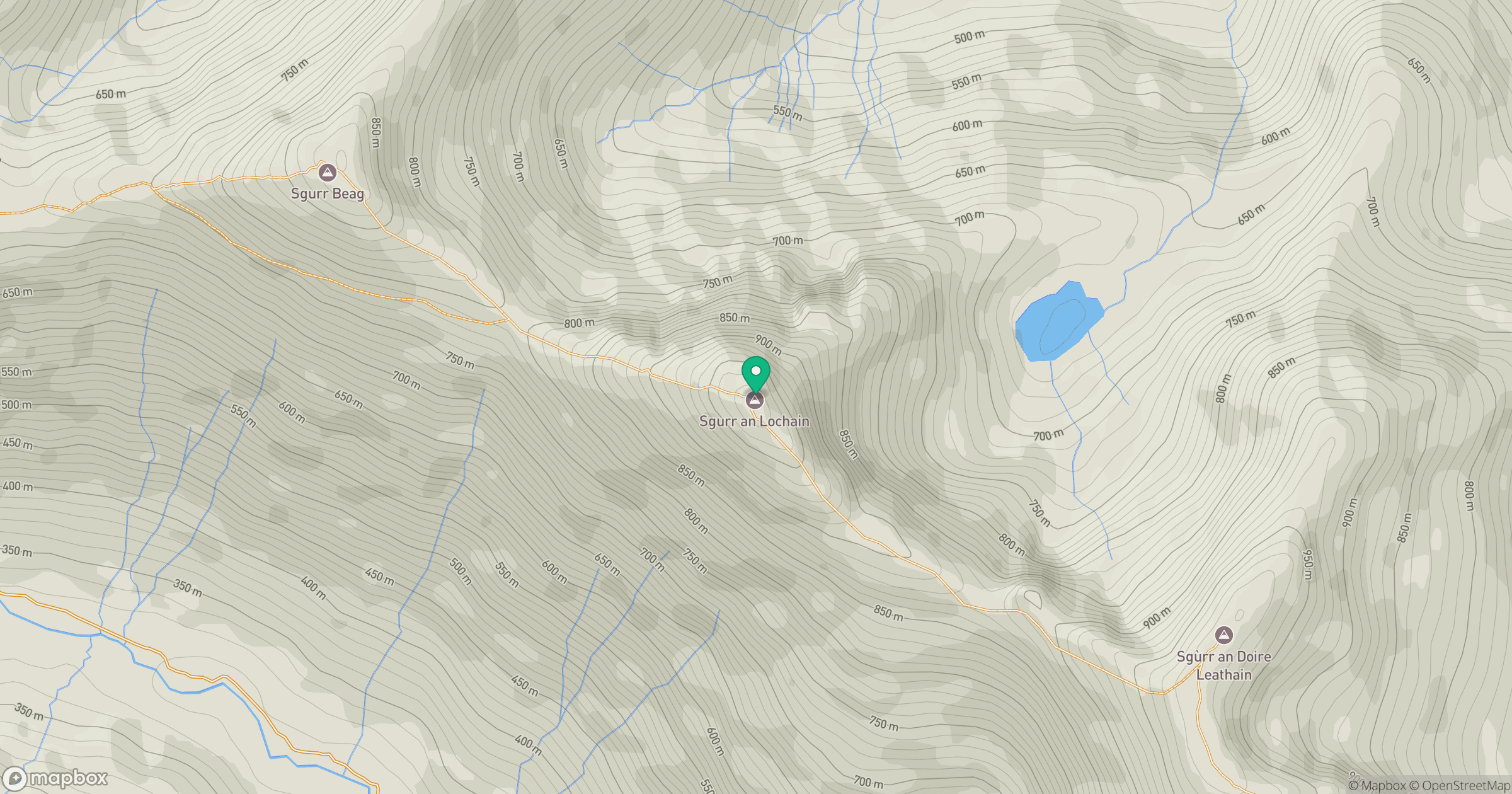
Grid reference: NH005104
View on OpenStreetMapOpens a map in a new tab, centred on the hill.
No comments yet. Be the first.