

Sgurr a' Bhealaich Dheirg
Good walks are even better shared.
NH0314 : The top of Sgurr a' Bhealaich Dheirg
Nigel Brown Photo source
Overview
Sgurr a' Bhealaich Dheirg
Introduction
Sgurr a' Bhealaich Dheirg is a striking Munro located in the heart of the Scottish Highlands. Standing at an elevation of 746 meters, it offers hikers a fantastic challenge combined with stunning panoramic views.
Geology
The mountain is a geological tapestry of schist and granite, showcasing layers of ancient Earth history. The formations give a visual treat, especially for geology enthusiasts. The remnants of glacial activity are evident, making it a fascinating site beyond just a hiking destination.
Routes
One of the popular routes to the summit is via the Beinn a' Chlachair Route. This moderate trail takes you through picturesque landscapes, combining rocky and grassy terrain. Be prepared for some variable footing, as you may encounter boggy patches along the way.
Summit Features
Upon reaching the summit, hikers are greeted by a sizeable cairn, which stands as a testament to all those who’ve trodden the path before. You might just find an ancient Highland spirit lurking nearby – or maybe that’s just the wind!
Terrain Type
Be ready for a mixed bag of terrain. Rocky outcrops test your balance while grassy slopes offer a welcome rest. Just watch your step – the bogs are more than happy to claim careless hikers!
Views
From the summit, the views are truly spectacular. Loch Spey sparkles below, and on a clear day, you can even glimpse the imposing shape of Ben Nevis lurking in the distance. The best time to enjoy these vistas is late spring to early autumn when the weather is generally more favourable.
Hazards
As with any Highlands adventure, it's crucial to respect the potent power of nature. Weather can turn on a dime, and the terrain can become tricky, especially when wet. Ensure you are prepared with suitable footwear and gear.
Access
To get to the hiking route, park at the small car park on Glen Roy road. If you’re relying on public transport, look out for bus services to Roybridge – it’s a lovely village that can serve as your base.
Facilities
While facilities are limited in the immediate area, head over to Roybridge for a small shop or cafe. If you’re in the mood for a proper sit-down meal, Fort William is not too far away.
History
The name “Sgurr a’ Bhealaich Dheirg” has rich meaning that ties back to its geographical significance. It has been a guidepost for centuries, particularly for local sheep farmers.
Conclusion
Sgurr a' Bhealaich Dheirg is not just a mountain; it's a community landmark, a geological marvel, and a hiker's dream. Lace up those boots and set forth on an adventure filled with discovery and perhaps a touch of whimsy. Happy hiking!
Explore routes near Sgurr a' Bhealaich Dheirg
Walks starting near this hill. Open a route to check its map, distance and full itinerary.
Glen Affric: Coire Loch Woodland Trail
View route
Fort Augustus to Kytra Lock: Caledonian Canal Towpath
View route
Banavie to Glen Loy Aqueduct: Neptune’s Staircase Canal Towpath
View route
Ben Nevis via Mountain Path
View route
Route planning notes
These notes describe possible approaches. Check a route's map and access information when planning your walk.
Beinn a' Chlachair Route
This route leads from the nearby Glen Roy, providing a scenic ascent with beautiful views.
Make a day of it, together
Find someone to share the walk with, or organise a day out along a route you like.
Photo Gallery
View all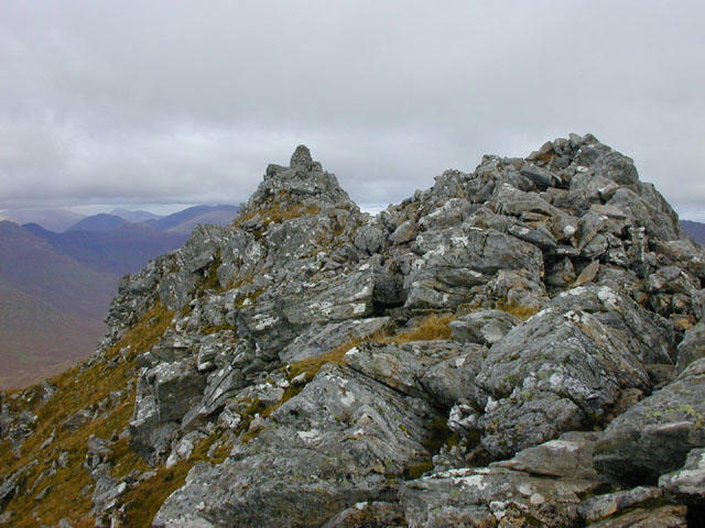 Photo could not load
NH0314 : The top of Sgurr a' Bhealaich Dheirg
Nigel Brown
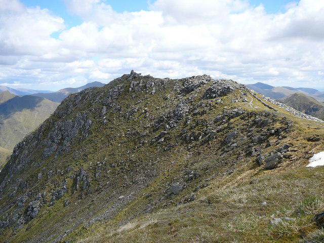 Photo could not load
NH0314 : The summit of Sgurr a' Bhealaich Dheirg
Colin Park
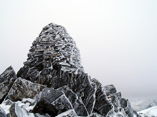 Photo could not load
NH0314 : Summit Cairn, Sgurr a' Bhealaich Dheirg
Chris Eilbeck
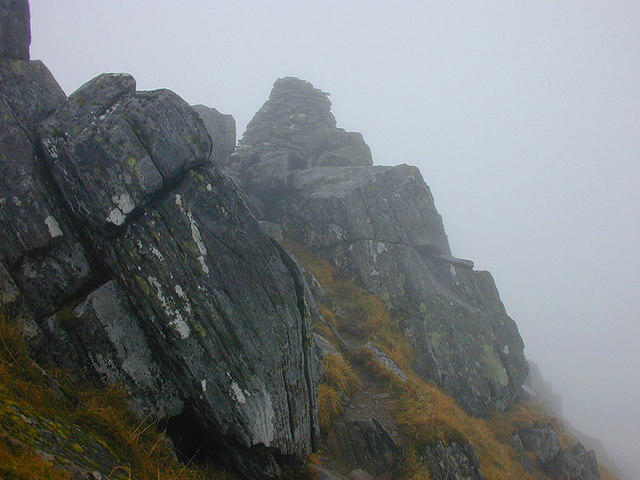 Photo could not load
NH0314 : Approaching the cairn on Sgùrr a' Bhealaich Dheirg
Nigel Brown
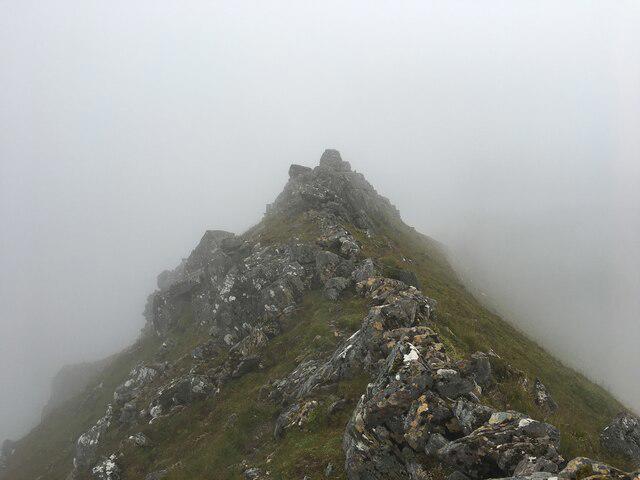 Photo could not load
NH0314 : Summit of Sgurr a’ Bhealaich Dheirg
Steven Brown
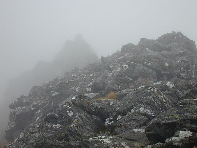 Photo could not load
NH0314 : Sgùrr a' Bhealaich Dheirg in cloud
Nigel Brown
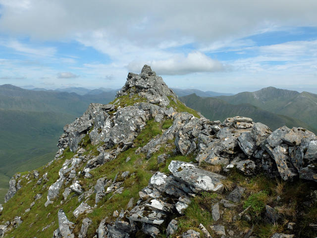 Photo could not load
NH0314 : Summit of Sgùrr a' Bhealaich Dheirg
John Allan
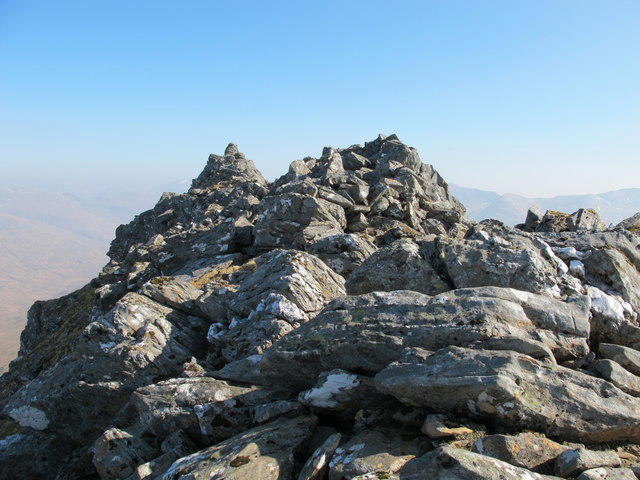 Photo could not load
NH0314 : Sgurr a’ Bhealaich Dheirg
Alan Hodgson
Hill facts and local notes
Classifications
Elevation
1,036m
3,399 ft
Prominence
311m
Coordinates
57.1778, -5.2522
NH035143
OS Map
33
Explorer: 414N 414S
At the Summit
The summit features a prominent cairn, giving hikers a satisfying milestone to celebrate arrival at the top. The views from here are nothing short of breathtaking!
Terrain & Geology
The mountain is primarily composed of schist and granitic rocks, revealing fascinating geological formations shaped by ancient glaciers.
Views & Scenery
On a clear day, you can spot Loch Spey and the surrounding peaks like Ben Nevis in the distance.
History & Heritage
Name Origin
Sgurr a' Bhealaich Dheirg translates to 'Peak of the Red Pass', highlighting its geographical standing and colour.
Historical Significance
This area is rich in folklore and has been a significant landmark for local sheep herders for centuries.
Getting There & Facilities
Parking
There is a small car park at the start of the Glen Roy road access with space for approximately 10 vehicles.
Public Transport
Bus services connect to the village of Roybridge. From there, a short taxi ride or a brisk walk will get you to the trailhead.
Nearby Facilities
Facilities are limited, but Roybridge has a few small shops and cafes. For a proper meal, head to Fort William, about 12 miles away.
Safety Information
Known Hazards
- Weather can change rapidly; always be prepared. Some sections may be steep and rocky, requiring careful footing.
General Safety Tips
- Check weather conditions before setting out
- Carry appropriate clothing and equipment
- Let someone know your planned route
- Take a map, compass, and GPS device
- Carry emergency supplies: food, water, first aid kit, torch
Hills
Some common questions about the hills answered
Are there group walks up Sgurr a' Bhealaich Dheirg?
Many walkers use Walkmates to join or organise walks with others. You can check for group walks around Sgurr a' Bhealaich Dheirg through the maps
Are there other walkers around Sgurr a' Bhealaich Dheirg?
Activity varies by location and time, but Walkmates lets you see whether others have shared walks or shown interest in this area. Find other people through the walking friends search walking friends for Sgurr a' Bhealaich Dheirg search or of course create your own walk for Sgurr a' Bhealaich Dheirg
Can I organise a walk to Sgurr a' Bhealaich Dheirg?
Yes. If there aren’t any walks listed already, you can create a walk and make it available for others to join.
If you're signed up to Walkmates, you can create a walk to Sgurr a' Bhealaich Dheirg.
How do I find a walk up this hill?
There are often multiple ways to walk this hill, depending on experience and route preference. Walkmates helps you explore walks and routes that others have shared.
Can I suggest a new route up Sgurr a' Bhealaich Dheirg?
Yes. You can suggest or create routes to share with others. Walkmates focuses on the social side of walking, so routes are used to help people organise walks and explore areas together, rather than as detailed navigation tools or route libraries.
Other uses really appreciate knowledgeable walkers sharing their routes. Share your favourite route to Sgurr a' Bhealaich Dheirg here
The is an error or something incorrect about this hill. How do I let you know?
We always strive to keep the information on Walkmates as accurate as possible. If you find an error, please let us know through the contact form and we'll aim to correct it as quickly as possible
Community Discussion
Comments
Location
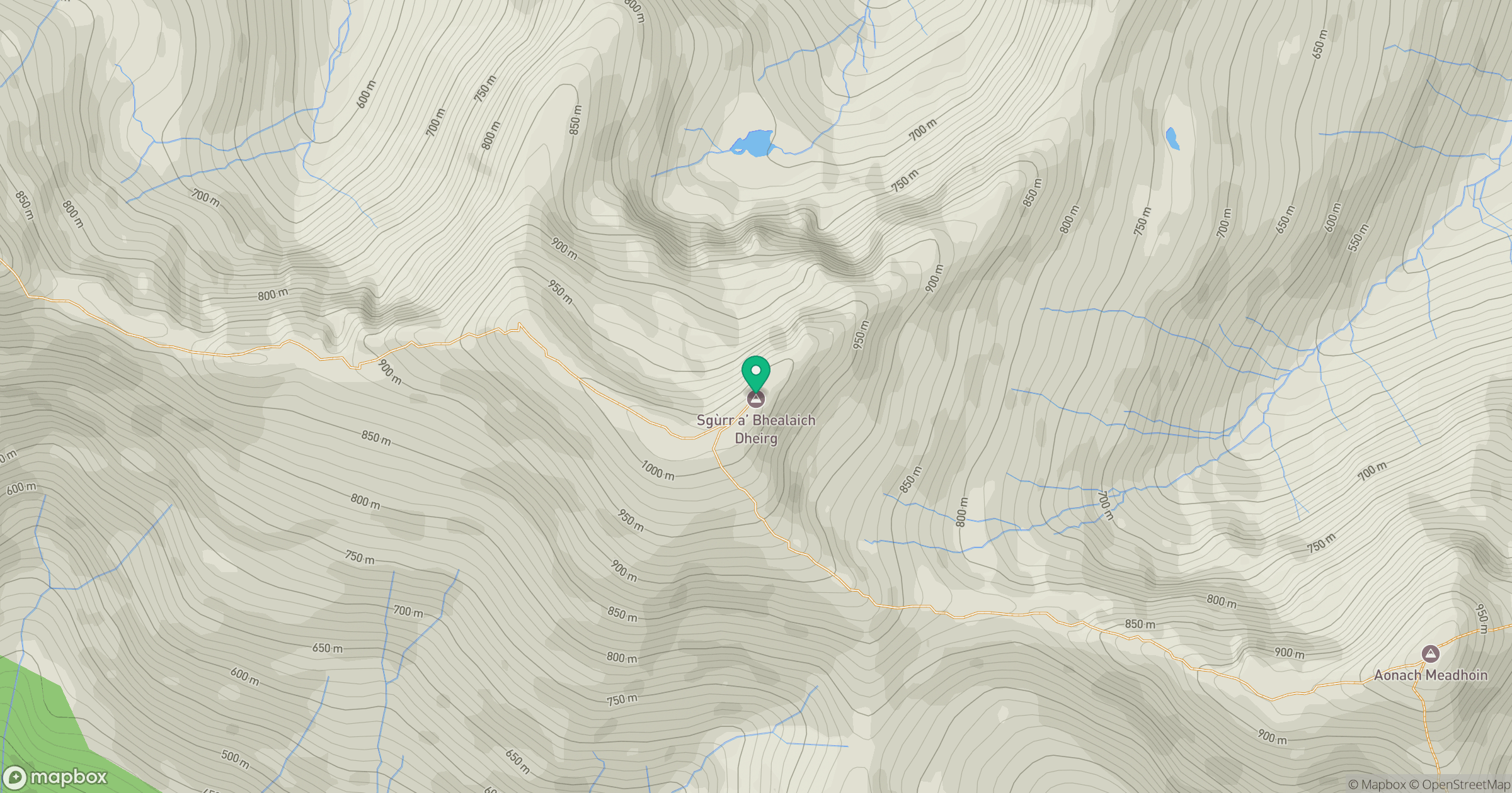
Grid reference: NH035143
View on OpenStreetMapOpens a map in a new tab, centred on the hill.
No comments yet. Be the first.