

Minninglow Hill
Good walks are even better shared.
SK2157 : Old road below Minninglow
Ian Calderwood Photo source
Overview
Minninglow Hill: A Jewel in the Peak District
Nestled in the heart of the Peak District, Minninglow Hill stands at an elevation of 385 meters, making it a prominent feature of the landscape. It is a Marilyn, meaning it has a significant prominence, which is sure to reward those who make the climb!
Geology
If you're a geology enthusiast, Minninglow Hill will tickle your fancy! This limestone hill dates back to the Carboniferous period and showcases stunning geological features. The surrounding area is rich with caves and karst formations, making it a paradise for both geologists and explorers alike.
Routes
The Minninglow Hill Circular route is the most popular among walkers. Starting from the charming village of Longstone, the trail meanders through picturesque countryside, taking approximately 2.5 hours to complete.
Summit Features
When you reach the top, you'll be greeted by a delightful cairn and the illustrious trig point, both of which are superb spots for a well-deserved selfie. Plus, we hear it's a great place to contemplate existence—just keep an eye on the cairn; it might start on a deep philosophical discourse!
Terrain Type
The terrain is primarily grassy with pockets of rocky outcrops, and be prepared for a bit of bogginess if the weather has been particularly generous with rain.
Views
The views from Minninglow Hill are nothing short of spectacular. You can see the distant peaks of the Dark Peak region, as well as Derwent Reservoir stretching out below. Spring and autumn offer the best conditions for leisurely walks and vibrant vistas.
Hazards
While hiking this splendid hill, do take care. Paths can be slippery during wet weather, and keep in mind that you may encounter livestock, so don’t be surprised if a curious sheep gives you the eye!
Nearby Summits
For those looking to extend their adventure, nearby summits include Lose Hill and Mam Tor, both offering additional challenges and spectacular views.
Access
Minninglow Hill is easily accessible from Longstone where parking is available. The closest public transport links are also found here, making it a breeze to reach from Bakewell—a town famous for its tasty Bakewell tarts!
Facilities
Post-hike, reward yourself with a visit to one of the many cafes in Bakewell. A nice cuppa and a slice of cake is a time-honoured tradition, after all!
History
The name 'Minninglow' hints at its ancient roots, possibly connected to old English terms for 'hill' and 'spirit'. Its historical significance is further bolstered by its prehistoric burial mounds, making it a captivating site for history buffs.
In closing, Minninglow Hill is not only a delight to climb but also a rich tapestry of natural beauty and historical intrigue. So lace up those hiking boots, grab your rucksack, and prepare for a glorious day out in the Peak District!
Explore routes near Minninglow Hill
Walks starting near this hill. Open a route to check its map, distance and full itinerary.
High Peak Trail: Friden, Newhaven Tunnel and Hurdlow Bridge
View route
Carsington Water: full reservoir circuit
View route
Cromford Canal guided walk
View route
Cromford Canal guided walk
View route
Route planning notes
These notes describe possible approaches. Check a route's map and access information when planning your walk.
Minninglow Hill Circular
A popular circular walk starting from the village of Longstone, taking you through beautiful countryside and offering panoramic views from the summit.
Make a day of it, together
Find someone to share the walk with, or organise a day out along a route you like.
Photo Gallery
View all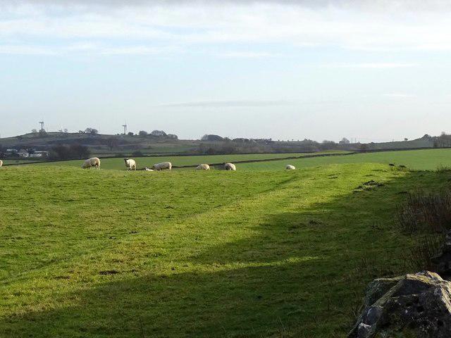 Photo could not load
SK2157 : Old road below Minninglow
Ian Calderwood
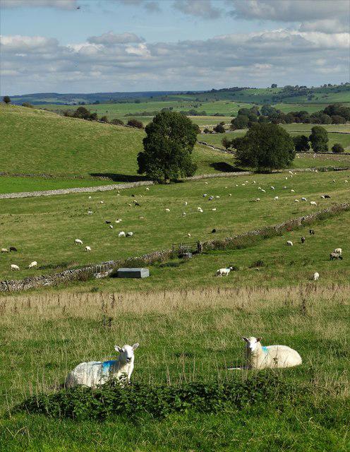 Photo could not load
SK2157 : Just east of Minninglow looking towards Aldwark
Neil Theasby
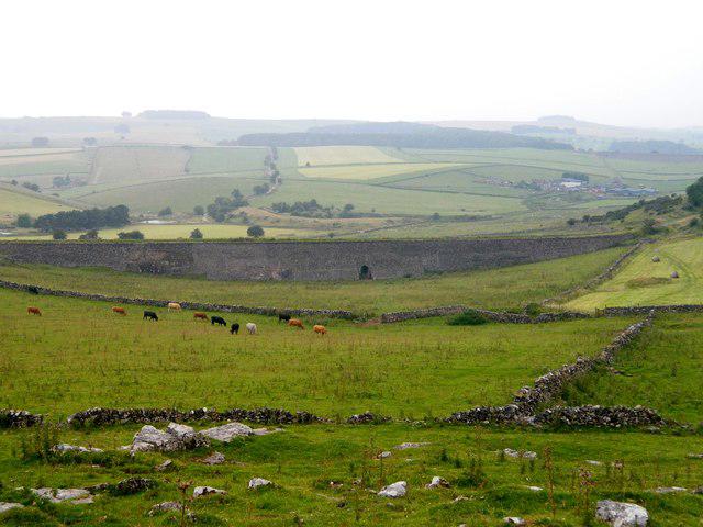 Photo could not load
SK2057 : View from here
Rob Howl
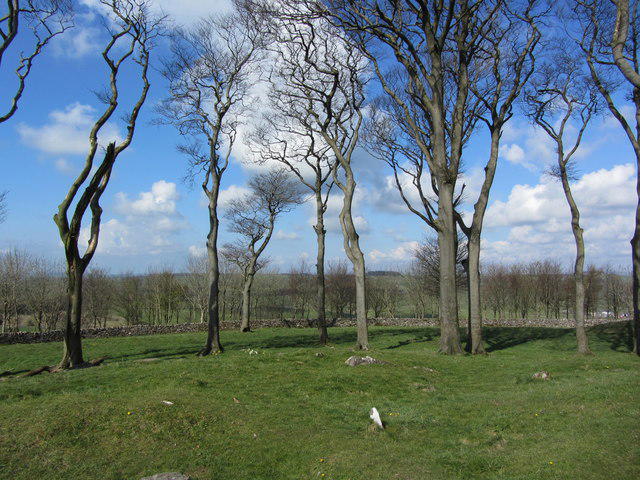 Photo could not load
SK2057 : Trees on the summit of Minninglow Hill, Derbyshire
Colin Park
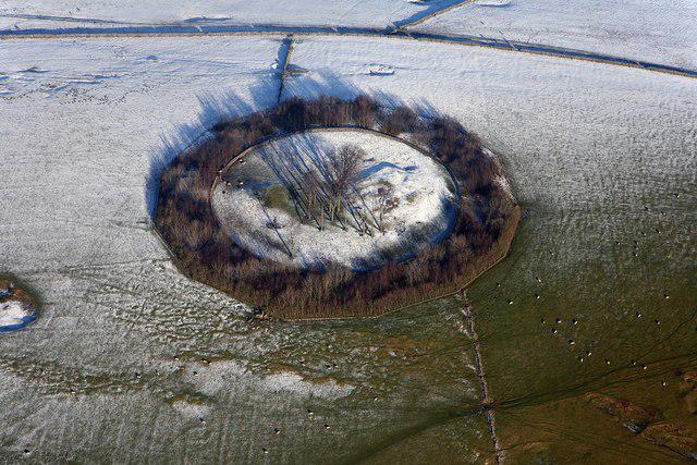 Photo could not load
SK2057 : Minninglow Hill Summit
Richard Bird
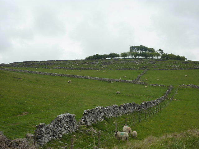 Photo could not load
SK2057 : Minninglow
Peter Barr
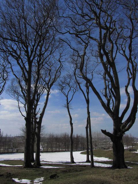 Photo could not load
SK2057 : Trees on summit of Minninglow
Colin Park
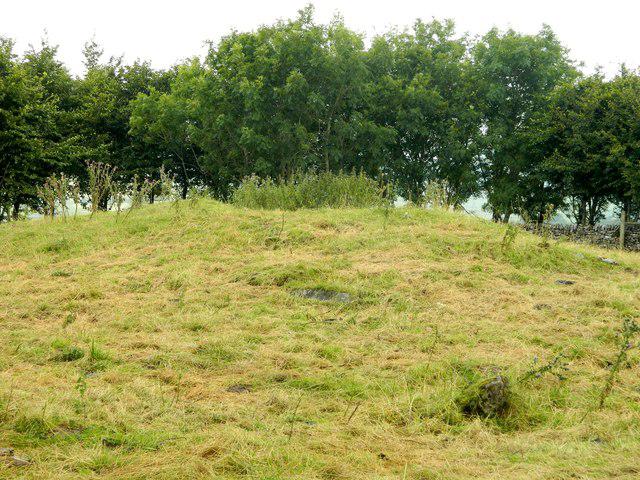 Photo could not load
SK2057 : Cairn at Minninglow
Rob Howl
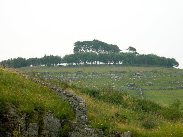 Photo could not load
SK2057 : Minninglow Hill and the rockfield on its NW flank
Rob Howl
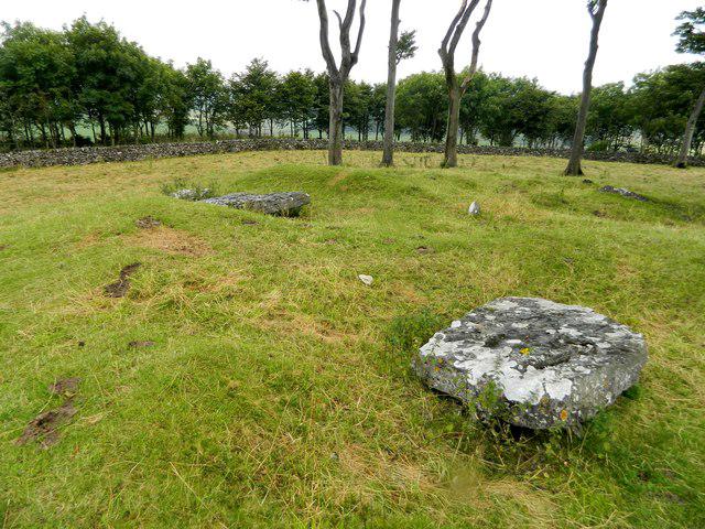
SK2057 : Minninglow Tumuli, beech trees and ring of outer trees
Rob Howl
Hill facts and local notes
Classifications
Elevation
372m
1,220 ft
Prominence
45m
Coordinates
53.1123, -1.6885
SK209572
OS Map
119
Explorer: OL24E
At the Summit
The summit boasts a prominent cairn and a historic burial mound, providing a fascinating glimpse into ancient practices. There's also a weathered trig point that appears to be contemplating the meaning of life.
Terrain & Geology
Minninglow Hill is primarily composed of limestone, formed during the Carboniferous period. The surrounding area features dramatic limestone escarpments, with extensive cave systems and unique karst formations that intrigue geologists and nature lovers alike.
Views & Scenery
From the summit, you can gaze across to the distant peaks of the Dark Peak and view Derwent Reservoir. On a clear day, the rolling hills of the Peak District stretch as far as the eye can see.
History & Heritage
Name Origin
The name 'Minninglow' is believed to derive from the Old English words for 'hill' and 'element' or 'spirit', hinting at its ancient significance.
Historical Significance
Minninglow Hill is notable for its prehistoric tumulus and has been a site of archaeological interest, giving insights into ancient burial practices.
Getting There & Facilities
Parking
There is parking available at the village of Longstone, approximately 1 km from the start of the route.
Public Transport
The nearest bus stop is in the village of Longstone, with regular connections from larger towns like Bakewell.
Nearby Facilities
In Bakewell, you'll find a plethora of facilities, including cafes and toilets, perfect for a post-hike treat. Don't forget to sample a Bakewell tart!
Safety Information
Known Hazards
- Beware of slippery paths during wet weather, and be cautious of livestock grazing in the fields.
General Safety Tips
- Check weather conditions before setting out
- Carry appropriate clothing and equipment
- Let someone know your planned route
- Take a map, compass, and GPS device
- Carry emergency supplies: food, water, first aid kit, torch
Hills
Some common questions about the hills answered
Are there group walks up Minninglow Hill?
Many walkers use Walkmates to join or organise walks with others. You can check for group walks around Minninglow Hill through the maps
Are there other walkers around Minninglow Hill?
Activity varies by location and time, but Walkmates lets you see whether others have shared walks or shown interest in this area. Find other people through the walking friends search walking friends for Minninglow Hill search or of course create your own walk for Minninglow Hill
Can I organise a walk to Minninglow Hill?
Yes. If there aren’t any walks listed already, you can create a walk and make it available for others to join.
If you're signed up to Walkmates, you can create a walk to Minninglow Hill.
How do I find a walk up this hill?
There are often multiple ways to walk this hill, depending on experience and route preference. Walkmates helps you explore walks and routes that others have shared.
Can I suggest a new route up Minninglow Hill?
Yes. You can suggest or create routes to share with others. Walkmates focuses on the social side of walking, so routes are used to help people organise walks and explore areas together, rather than as detailed navigation tools or route libraries.
Other uses really appreciate knowledgeable walkers sharing their routes. Share your favourite route to Minninglow Hill here
The is an error or something incorrect about this hill. How do I let you know?
We always strive to keep the information on Walkmates as accurate as possible. If you find an error, please let us know through the contact form and we'll aim to correct it as quickly as possible
Community Discussion
Comments
Location
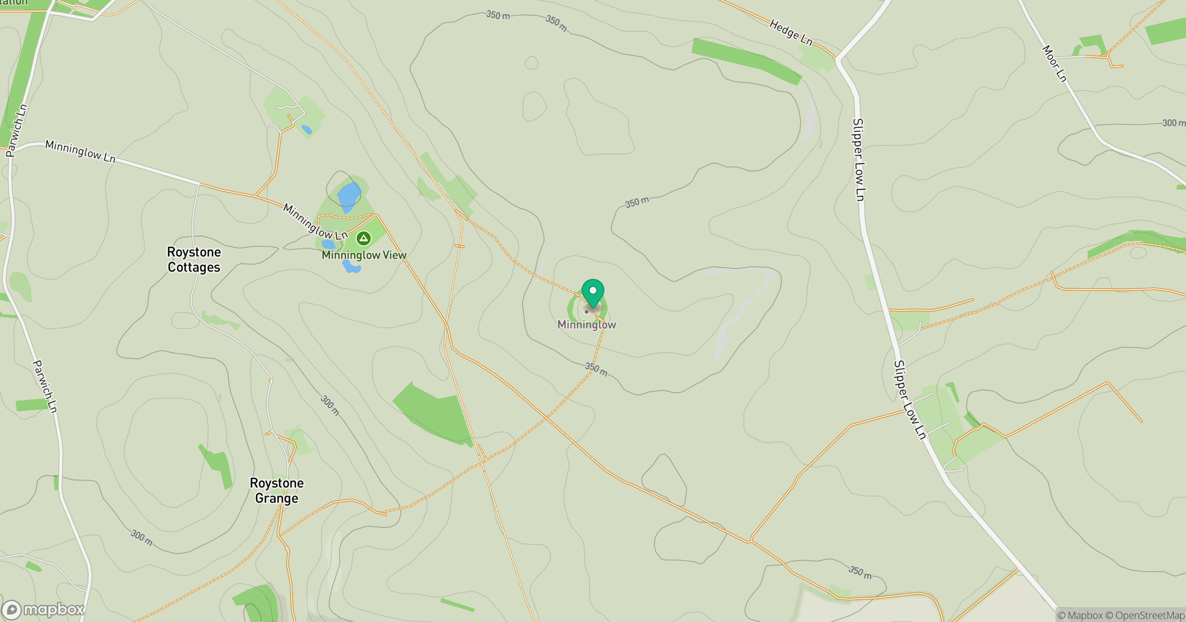
Grid reference: SK209572
View on OpenStreetMapOpens a map in a new tab, centred on the hill.
Nearby Hills
The Roaches
505m

Kinder Scout
636m
Rombalds Moor [Ilkley Moor]
402m

The Wrekin
407m

Pendle Hill
557m
No comments yet. Be the first.