

Bolehill
Good walks are even better shared.
Overview
Bolehill: A Hidden Gem of the Peak District
Nestled in the heart of the Peak District, Bolehill offers a perfect blend of adventure and tranquillity. Standing at an elevation of 428 meters, this Marilyn is often overshadowed by its taller neighbours but provides its own unique allure.
Geology
Bolehill is predominantly made up of sandstone and gritstone, which are the hallmark of the Peak District's geology. These rocks not only form the craggy features of the hill but also support diverse wildlife and plant species, making it a haven for nature enthusiasts.
Routes
One of the most popular routes is the Bolehill from Birchvale. This moderate trail spans approximately 5.5 km, taking about 2.5 hours to complete. It weaves through beautiful woodlands, letting you soak up the serene landscape before challenging your legs as you climb to the summit.
Summit Features
At the summit, you'll find a modest cairn, a perfect marker for a well-earned photo opportunity. The panoramic views are nothing short of splendid; you can see the Goyt Valley to the south and the craggy outline of Kinder Scout in the distance.
Terrain
Expect a delightful variety of terrain here. The walk to Bolehill offers both grassy slopes for an easy gait and rocky outcrops to navigate, so make sure your hiking boots are laced up tight!
Views
The vistas from the top are truly magnificent; you'll want to bring your camera. The best seasons to visit are during autumn when the foliage is a riot of colour, or spring when wildflowers dot the landscape.
Hazards
As with any hill walk, there are some hazards to be mindful of. The rocks can become quite slippery during wet weather, and there are some steep drop-offs along the paths. So, keep your wits about you!
Nearby Summits
If you're feeling adventurous, consider adding nearby peaks such as Crinkle Crags and Kinder Scout to your itinerary. Both are remarkable in their own right and will set your heart racing.
Access
Getting there is a doddle! You can park at Birchvale, only a stone's throw away from the trailhead (SK283557). Alternatively, various bus services connect through nearby New Mills, ensuring access for non-drivers.
Facilities
While there are no facilities directly at the starting point, New Mills offers ample cafes and shops to stock up before or unwind after your hike.
History
The etymology of Bolehill lies in the Old English term 'bōla,' referring to its rounded shape. Historically, the area is significant due to its quaint remnants of industrial activity and quarries, connecting its past to a thriving community.
Bolehill may not be the highest hill, but it certainly packs a punch in beauty and experience. So lace up those hiking boots and get ready for a splendid day out!
Explore routes near Bolehill
Public walks starting within 80 km of this hill. Nearby does not mean a route reaches the summit; check its map and access before setting out.
Cromford Canal guided walk
View route
Cromford Canal guided walk
View route
Cromford Canal to Whatstandwell: towpath return
View route
Carsington Water: full reservoir circuit
View route
Route planning notes
These notes describe possible approaches, not verified navigable routes or permission to cross land. Check current paths, local access rules and conditions before setting out.
Bolehill from Birchvale
A scenic loop starting from Birchvale, it takes you through enchanting woodlands and up to the summit with stunning views.
Make a day of it, together
Find someone to share the walk with, or organise a day out along a route you like.
Photo Gallery
View all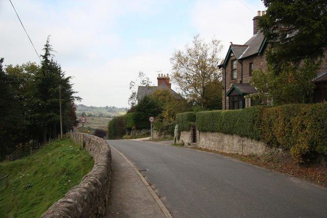 Photo could not load
SK2955 : Oakenthorpe Road
Richard Croft
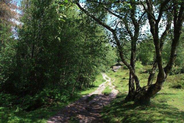 Photo could not load
SK2955 : Path on Cromford Moor
Graham Robson
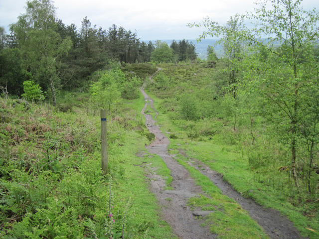 Photo could not load
SK2955 : Path to Black Rocks in Big Plantation
Chris Wimbush
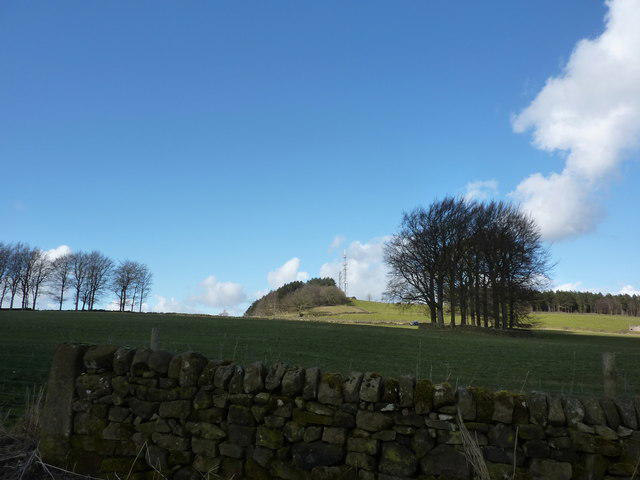 Photo could not load
SK2955 : Blue sky, green field
Peter Barr
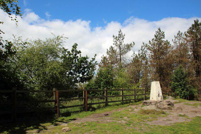 Photo could not load
SK2955 : Trig point on Bolehill
Graham Robson
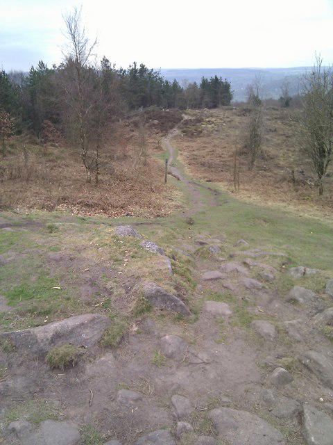 Photo could not load
SK2955 : Barral Edge
Barry Hunter
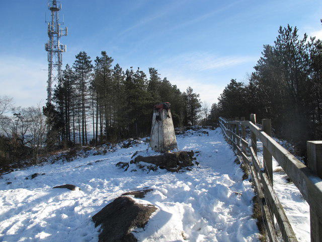 Photo could not load
SK2955 : Bolehill Summit
Rude Health
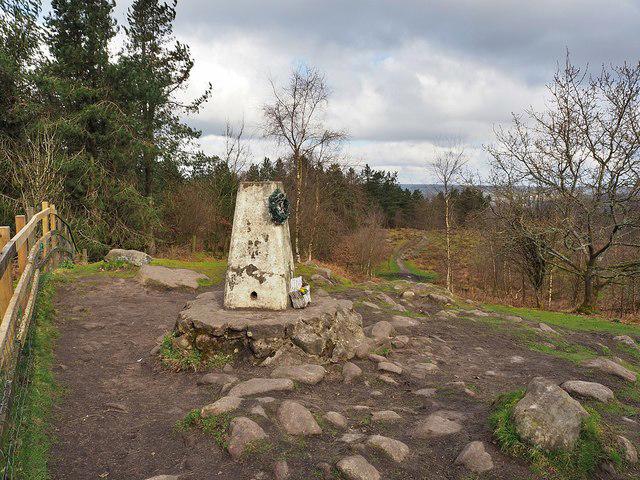 Photo could not load
SK2955 : Bolehill East trig point on Cromford Moor
Graham Hogg
Hill facts and local notes
Classifications
Elevation
323m
1,060 ft
Prominence
104m
Coordinates
53.0945, -1.5625
SK293553
OS Map
119
Explorer: OL24E
At the Summit
The summit is marked by a small cairn and offers a clear view of the surrounding hills and valleys.
Terrain & Geology
Bolehill is primarily composed of sandstone and gritstone, characteristic of the Peak District. These rocks contribute to its rugged beauty and provide a habitat for a variety of flora and fauna.
Views & Scenery
From the summit, one can enjoy views of the Goyt Valley, the distant Kinder Scout, and the rolling hills of the Peak District.
History & Heritage
Name Origin
The name 'Bolehill' is derived from the Old English word 'bōla,' meaning 'a rounded hill.'
Historical Significance
The area has historical significance due to its industrial past, with remnants of old quarries nearby.
Getting There & Facilities
Check current local access restrictions, parking rules and transport timetables before travelling. These notes do not confirm public access to the summit.
Parking
There is a small car park at Birchvale (SK283557), which provides access to the footpaths leading to Bolehill.
Public Transport
Buses from nearby towns service the area, with the nearest bus stop located in Birchvale.
Nearby Facilities
There are no toilets directly at the walk start, but New Mills has cafes and shops for sustenance before or after your trek.
Safety Information
Known Hazards
- Slippery rocks during wet weather, steep drop-offs on some paths
General Safety Tips
- Check weather conditions before setting out
- Carry appropriate clothing and equipment
- Let someone know your planned route
- Take a map, compass, and GPS device
- Carry emergency supplies: food, water, first aid kit, torch
Hills
Some common questions about the hills answered
Are there group walks up Bolehill?
Many walkers use Walkmates to join or organise walks with others. You can check for group walks around Bolehill through the maps
Are there other walkers around Bolehill?
Activity varies by location and time, but Walkmates lets you see whether others have shared walks or shown interest in this area. Find other people through the walking friends search walking friends for Bolehill search or of course create your own walk for Bolehill
Can I organise a walk to Bolehill?
Yes. If there aren’t any walks listed already, you can create a walk and make it available for others to join.
If you're signed up to Walkmates, you can create a walk to Bolehill.
How do I find a walk up this hill?
There are often multiple ways to walk this hill, depending on experience and route preference. Walkmates helps you explore walks and routes that others have shared.
Can I suggest a new route up Bolehill?
Yes. You can suggest or create routes to share with others. Walkmates focuses on the social side of walking, so routes are used to help people organise walks and explore areas together, rather than as detailed navigation tools or route libraries.
Other uses really appreciate knowledgeable walkers sharing their routes. Share your favourite route to Bolehill here
The is an error or something incorrect about this hill. How do I let you know?
We always strive to keep the information on Walkmates as accurate as possible. If you find an error, please let us know through the contact form and we'll aim to correct it as quickly as possible
Community Discussion
Comments
Location
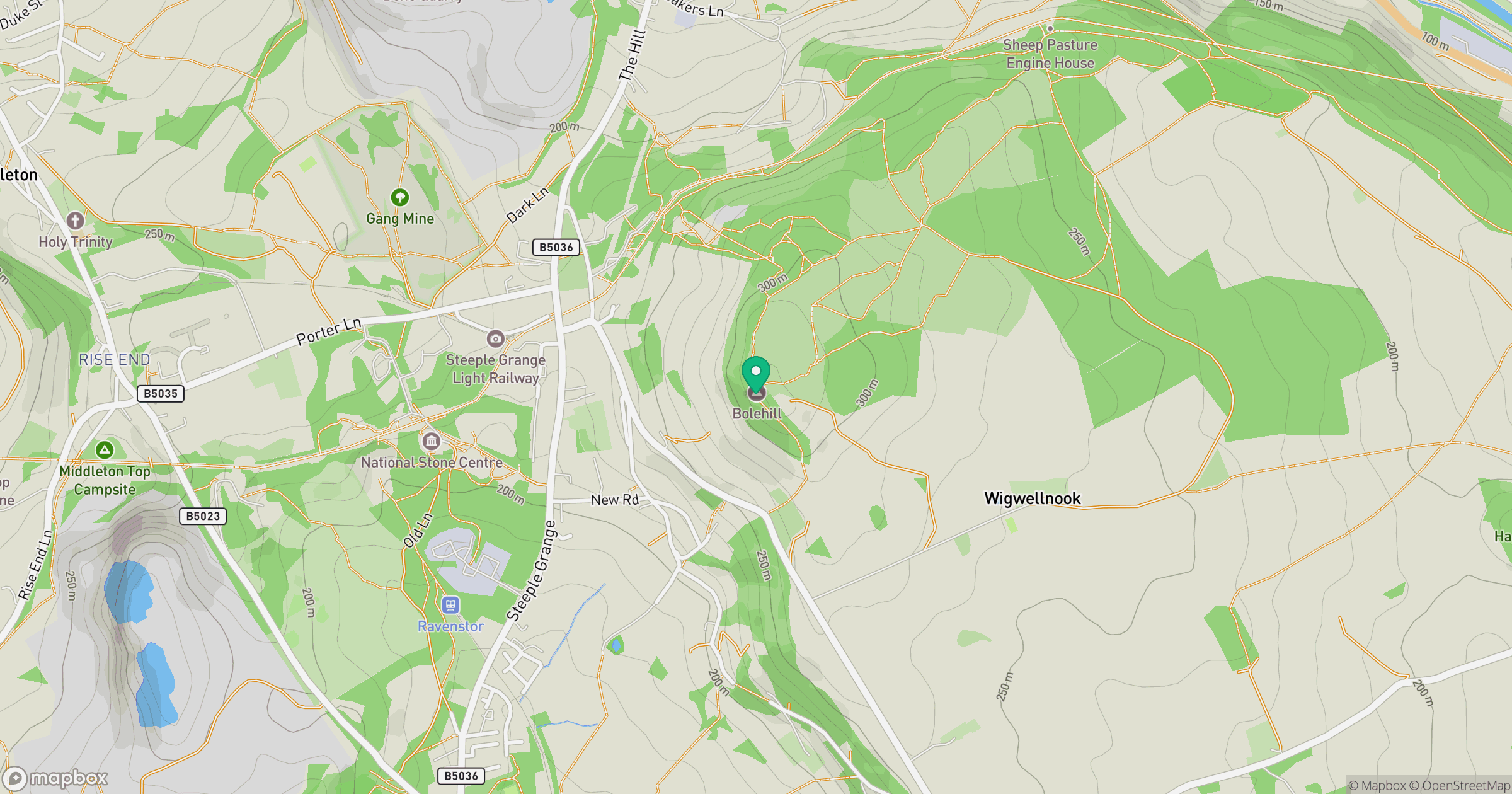
Grid reference: SK293553
View on OpenStreetMapOpens a map in a new tab, centred on the hill.
Hills within 30 km
Straight-line distance, not a walking route or confirmation of access.
No comments yet. Be the first.