

Meall Reamhar North Top
Good walks are even better shared.
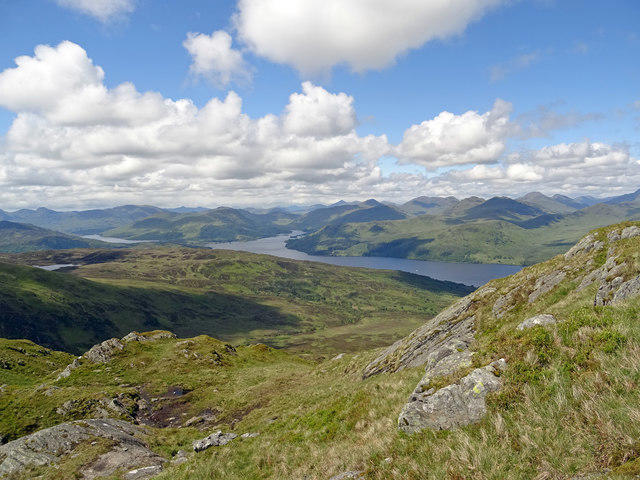
NN4215 : Looking south from the Bealach Coire an Laoigh
Alec MacKinnon Photo source
Overview
Meall Reamhar North Top
Introduction
Nestled within the majestic Scottish Highlands, Meall Reamhar North Top stands proudly at 931 meters, offering a rewarding challenge for hikers. Known as 'the fat hill', it certainly lives up to its name, boasting a rounded silhouette that is easily recognisable against the skyline.
Geology
The mountain is primarily formed of granite and schist, typical of the Highland region. Hiking along its slopes, you'll witness the effects of glacial erosion, creating a rocky terrain that any geology enthusiast would appreciate. Remember, the rocks underfoot have been shaped by nature over millennia—no pressure, just tread wisely!
Routes
The West Highland Way Access trail is the most popular route to the summit. A moderate trail length of 4.5 km, it allows for a leisurely hike with plenty of opportunities for photography. Take your time and soak in the stunning landscapes around you!
Summit Features
Upon reaching the summit, hikers are greeted by a notable cairn, which is not only a perfect spot for a celebratory selfie but also a historical marker of sorts. It’s a real trophy for those who reach the peak while providing a reality check that you've truly earned your views!
Terrain
Expect a mix of rugged and rocky pathways alongside some inviting grassy patches. This diverse terrain can be a bit tricky in parts, so keep your eyes peeled and those boots laced.
Views
The summit’s views are acclaimed, featuring enchanting sights of Loch Lomond and the Trossachs. With every glance, you're treated to a new perspective of the raw natural beauty that Scotland has to offer. Try to go in the late spring or autumn when the views are unobstructed and the air is clear.
Hazards
Stay cautious of potential slip hazards and sudden weather changes. The Highlands are known for their unpredictable conditions, so always come prepared! Don’t let a sudden cloud burst ruin your day; be sure to pack an extra layer!
Nearby Summits
If you're feeling particularly sprightly after summiting, consider tackling nearby peaks like Meall Reamhar or Beinn A'Chlair.
Access
Nearest Parking
The Rowardennan Hotel offers convenient parking, approximately 7 km from the hiking trailhead, ensuring easy access to your adventure.
Public Transport
Catch a bus from Glasgow to Balloch, with connections leading to Rowardennan, making this a great destination, even without a car.
Nearest Town
Balmaha is the closest village, providing all essential services and a friendly local vibe.
Facilities
Before or after your journey, stop by Balmaha for local cafes and restrooms. Whether you fancy a coffee or need to rest your legs, you'll find a welcoming spot.
History
The etymology of 'Meall Reamhar' provides a glimpse into Scotland's rich history and culture. Once a gathering place for the Clan Buchan, each corner of this hill holds stories of adventure and trepidation.
Conclusion
Meall Reamhar North Top is more than just a peak; it’s an experience. Whether you’re in it for the hiking, history, or simply the views, this Munro has something special for everyone. So lace up those boots and embark on your adventure!
Explore routes near Meall Reamhar North Top
Walks starting near this hill. Open a route to check its map, distance and full itinerary.
Loch Katrine: Brenachoile Point Shore Walk from Trossachs Pier
View route
Loch Ard Forest: Sculpture Trail and Little Loch Ard
View route
The Cobbler from Succoth Carpark
View route
Beinn Ime from Succoth
View route
Route planning notes
These notes describe possible approaches. Check a route's map and access information when planning your walk.
West Highland Way Access
Starting from the West Highland Way, this accessible route offers beautiful vistas and a gentle incline leading up to the summit.
Make a day of it, together
Find someone to share the walk with, or organise a day out along a route you like.
Photo Gallery
View all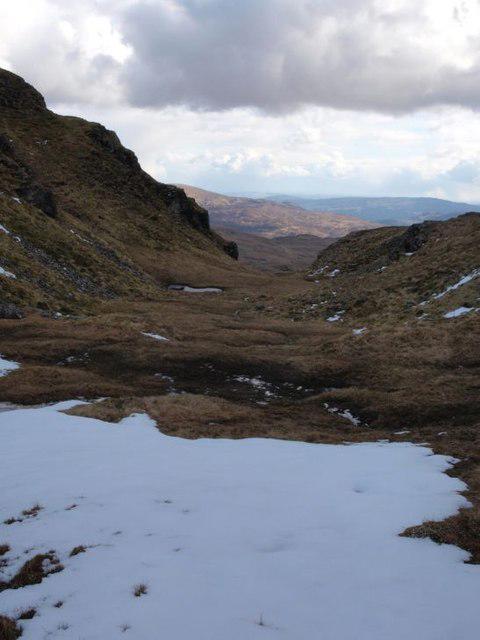 Photo could not load
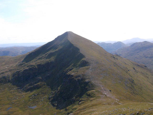
NN4215 : Looking south from the Bealach Coire an Laoigh
Alec MacKinnon
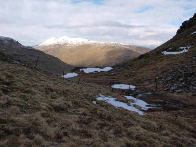 Photo could not load
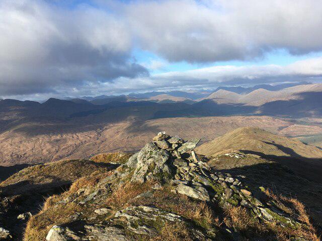
NN4215 : Bealach Coire an Laoigh looking north
Alec MacKinnon
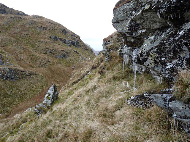 Photo could not load
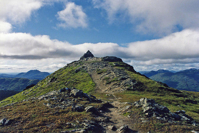
NN4215 : Bealach Coire an Laoigh
Alan Reid
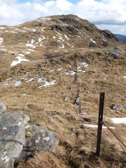 Photo could not load
NN4215 : Decaying fence on Stob a'Choin
Alec MacKinnon
Hill facts and local notes
Classifications
Elevation
801m
2,629 ft
Prominence
21m
Coordinates
56.3094, -4.5516
NN422159
OS Map
56
Explorer: OL46N 365N
At the Summit
The summit boasts a substantial cairn that offers a sense of achievement for those who conquer it. On a clear day, the views are simply breathtaking.
Terrain & Geology
Meall Reamhar North Top is predominantly composed of granite and schist, common materials found throughout the Scottish Highlands. The rugged terrain reflects millions of years of geological activity, often revealing interesting geological features that tell the story of the region's glacial past.
Views & Scenery
The view encompasses the surrounding hills, glens, and on a clear day, you can see as far as Loch Lomond and the Trossachs.
History & Heritage
Name Origin
In Scots Gaelic, 'Meall Reamhar' translates to 'the fat hill', an amusing name that may reflect its round shape.
Historical Significance
Historically significant as part of the ancient lands of the clan Buchan, this hill has seen generations of Highland life unfold.
Getting There & Facilities
Parking
There is a convenient car park at the Rowardennan Hotel, which is approximately 7 km from the trailhead.
Public Transport
Public transport options include frequent bus services from Glasgow to Balloch, with connections to Rowardennan.
Nearby Facilities
The nearby Balmaha provides cafes, restaurants, and public toilets, ensuring that hikers can refuel before or after their trek.
Safety Information
Known Hazards
- Slip hazards due to rocky pathways, sudden weather changes can obscure visibility, and steep drop-offs in places.
General Safety Tips
- Check weather conditions before setting out
- Carry appropriate clothing and equipment
- Let someone know your planned route
- Take a map, compass, and GPS device
- Carry emergency supplies: food, water, first aid kit, torch
Hills
Some common questions about the hills answered
Are there group walks up Meall Reamhar North Top?
Many walkers use Walkmates to join or organise walks with others. You can check for group walks around Meall Reamhar North Top through the maps
Are there other walkers around Meall Reamhar North Top?
Activity varies by location and time, but Walkmates lets you see whether others have shared walks or shown interest in this area. Find other people through the walking friends search walking friends for Meall Reamhar North Top search or of course create your own walk for Meall Reamhar North Top
Can I organise a walk to Meall Reamhar North Top?
Yes. If there aren’t any walks listed already, you can create a walk and make it available for others to join.
If you're signed up to Walkmates, you can create a walk to Meall Reamhar North Top.
How do I find a walk up this hill?
There are often multiple ways to walk this hill, depending on experience and route preference. Walkmates helps you explore walks and routes that others have shared.
Can I suggest a new route up Meall Reamhar North Top?
Yes. You can suggest or create routes to share with others. Walkmates focuses on the social side of walking, so routes are used to help people organise walks and explore areas together, rather than as detailed navigation tools or route libraries.
Other uses really appreciate knowledgeable walkers sharing their routes. Share your favourite route to Meall Reamhar North Top here
The is an error or something incorrect about this hill. How do I let you know?
We always strive to keep the information on Walkmates as accurate as possible. If you find an error, please let us know through the contact form and we'll aim to correct it as quickly as possible
Community Discussion
Comments
Location
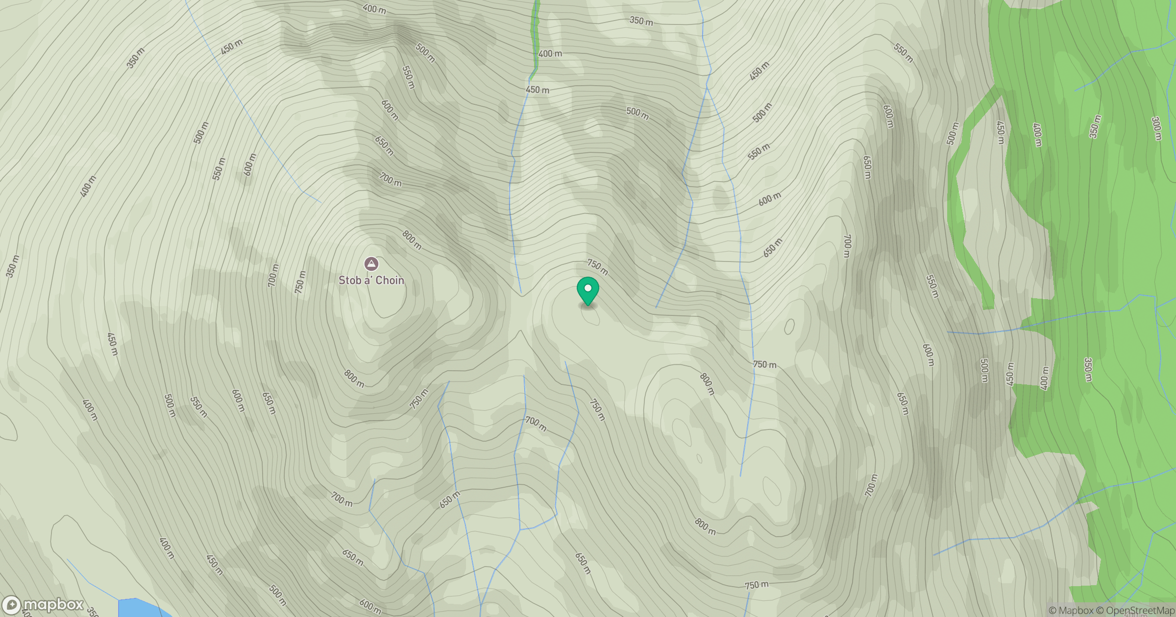
Grid reference: NN422159
View on OpenStreetMapOpens a map in a new tab, centred on the hill.
No comments yet. Be the first.