

Lyscombe Hill
Good walks are even better shared.
Overview
Lyscombe Hill
Lyscombe Hill, at 269 meters, is a prominent feature of the Mendip Hills in Somerset, UK, offering hikers an enjoyable day out. The hill's limestone composition creates a beautifully undulating landscape that is a hallmark of the region.
Geography and Geology
The geological makeup of Lyscombe Hill is primarily limestone, formed through the layers of sedimentation over millions of years. As you hike, you'll notice the distinct rocky outcrops that provide subtle challenges and stunning aesthetics.
Hiking Routes
One of the most popular routes is the Lyscombe Hill Circular Walk. This moderately challenging 5 km route starts from the scenic village of Priddy. You'll meander through grassy paths, with the occasional rocky sections that keep things interesting—don't forget to keep an eye out for the local wildlife!
Summit Features
At the summit, you'll find a stone cairn, offering a perfect spot for a well-deserved break. From here, the vistas are nothing short of breathtaking!
Views
On a clear day, the views include Cheddar Gorge, Glastonbury Tor, and even the Bristol Channel! These sights are particularly stunning during spring and autumn when the air is crisp, and the hills are vibrant with colour.
Hazards
As with all outdoor adventures, be aware of the potential hazards. The paths can be slippery after rain, and fog can roll in quickly, reducing visibility. Always carry a map—after all, it's better to be safe than sorry!
Access and Facilities
Parking is available in the picturesque village of Priddy, and public transport services link directly from Bristol, making access easier than ever. While there are no facilities on the hill itself, the village has charming cafes and public toilets to refresh before or after your hike.
History and Culture
The name 'Lyscombe' tells a story of enclosure—a testament to the strategic importance of this area throughout human history. Nearby, ancient burial mounds hint at a rich cultural tapestry woven through time.
In summary, Lyscombe Hill waits with open arms for hikers, ready to deliver stunning views and a sense of connection to the land's history. Pack your gear, bring a sense of adventure, and enjoy every step on this hill! Cheers!
Explore routes near Lyscombe Hill
Public walks starting within 80 km of this hill. Nearby does not mean a route reaches the summit; check its map and access before setting out.
Hardy's Cottage, Stinsford and Dorchester from Thorncombe Wood
View route
Sturminster Newton, Cutt Mill and Stalbridge Lane
View route
Dorchester Walk with Men Walking & Talking
View route
Badbury Rings and The Oaks from Heron Drove, Dorset
View route
Route planning notes
These notes describe possible approaches, not verified navigable routes or permission to cross land. Check current paths, local access rules and conditions before setting out.
Lyscombe Hill Circular Walk
A popular circular route starting from the village of Priddy, offering a mix of gentle paths and spectacular views.
Make a day of it, together
Find someone to share the walk with, or organise a day out along a route you like.
Photo Gallery
View all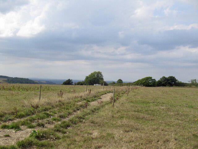 Photo could not load
ST7302 : Track on Lyscombe Hill
Richard Webb
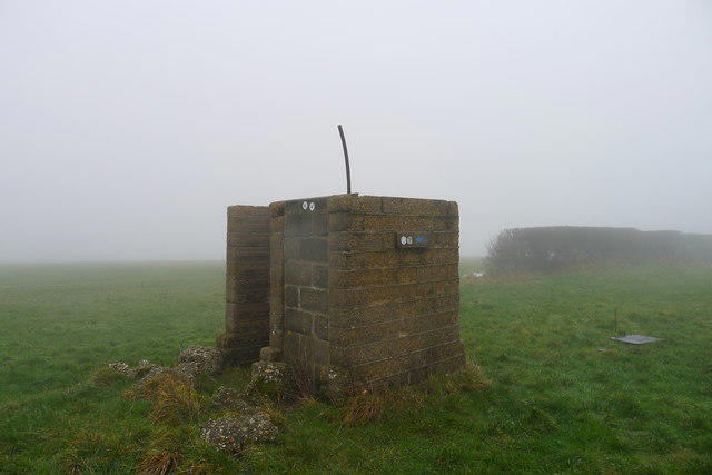 Photo could not load
ST7302 : Concrete structure on the ridge of Nettlecombe Tout
Tim Heaton
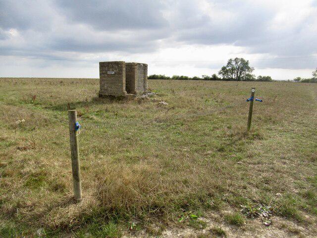 Photo could not load
ST7302 : Building on Lyscombe Hill
Richard Webb
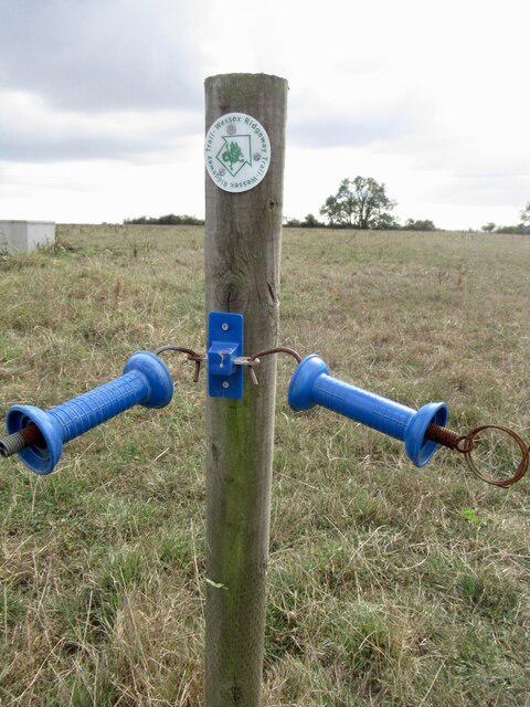 Photo could not load
ST7302 : Electric fence crossing, Lyscombe Hill
Richard Webb
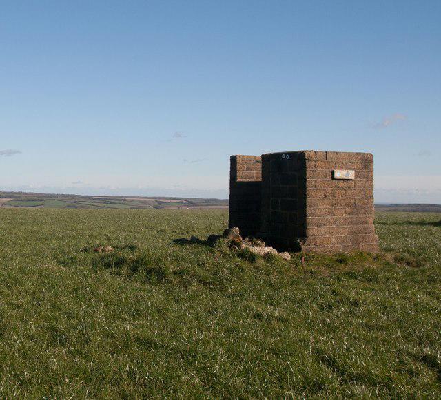 Photo could not load
ST7302 : Funny building at footpath crossroads on Nettlecombe Tout
Becky Williamson
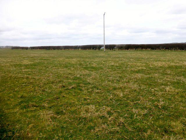 Photo could not load
ST7302 : Lyscombe Hill
Rude Health
Hill facts and local notes
Classifications
Elevation
263m
863 ft
Prominence
102m
Coordinates
50.8238, -2.3729
ST738027
OS Map
194
Explorer: 117E
At the Summit
The summit features a stone cairn and offers panoramic views of the surrounding Mendip Hills and beyond.
Terrain & Geology
Lyscombe Hill is primarily composed of limestone, a sedimentary rock that forms from calcium carbonate. The region's geology contributes to its rolling countryside and unique flora.
Views & Scenery
From the summit, one can view Cheddar Gorge, Glastonbury Tor, and the Bristol Channel on a clear day.
History & Heritage
Name Origin
The name 'Lyscombe' is derived from the Old English 'Lyscumb,' meaning 'enclosed valley.'
Historical Significance
The hill has historical significance as it is located near ancient burial mounds, hinting at its long-standing presence in human history.
Getting There & Facilities
Check current local access restrictions, parking rules and transport timetables before travelling. These notes do not confirm public access to the summit.
Parking
Parking is available in the village of Priddy; be mindful of local regulations.
Public Transport
The area is accessible by the Mendip Xplore bus service, which runs from Bristol.
Nearby Facilities
There are no facilities directly on the hill, but visitors can find cafes and toilets in Priddy.
Safety Information
Known Hazards
- Potential for slippery paths after rain, and areas of thick fog can obscure visibility.
General Safety Tips
- Check weather conditions before setting out
- Carry appropriate clothing and equipment
- Let someone know your planned route
- Take a map, compass, and GPS device
- Carry emergency supplies: food, water, first aid kit, torch
Hills
Some common questions about the hills answered
Are there group walks up Lyscombe Hill?
Many walkers use Walkmates to join or organise walks with others. You can check for group walks around Lyscombe Hill through the maps
Are there other walkers around Lyscombe Hill?
Activity varies by location and time, but Walkmates lets you see whether others have shared walks or shown interest in this area. Find other people through the walking friends search walking friends for Lyscombe Hill search or of course create your own walk for Lyscombe Hill
Can I organise a walk to Lyscombe Hill?
Yes. If there aren’t any walks listed already, you can create a walk and make it available for others to join.
If you're signed up to Walkmates, you can create a walk to Lyscombe Hill.
How do I find a walk up this hill?
There are often multiple ways to walk this hill, depending on experience and route preference. Walkmates helps you explore walks and routes that others have shared.
Can I suggest a new route up Lyscombe Hill?
Yes. You can suggest or create routes to share with others. Walkmates focuses on the social side of walking, so routes are used to help people organise walks and explore areas together, rather than as detailed navigation tools or route libraries.
Other uses really appreciate knowledgeable walkers sharing their routes. Share your favourite route to Lyscombe Hill here
The is an error or something incorrect about this hill. How do I let you know?
We always strive to keep the information on Walkmates as accurate as possible. If you find an error, please let us know through the contact form and we'll aim to correct it as quickly as possible
Community Discussion
Comments
Location
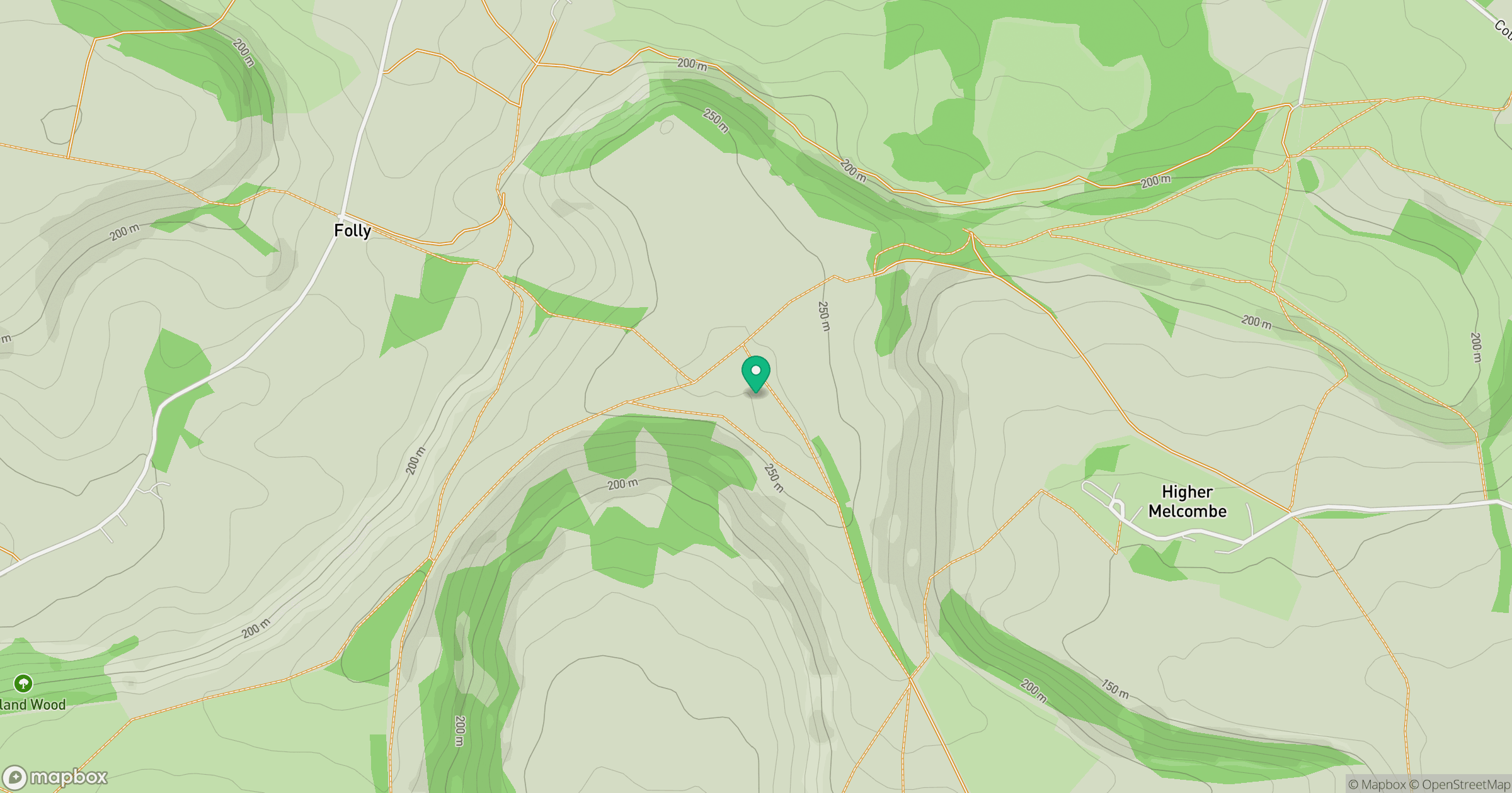
Grid reference: ST738027
View on OpenStreetMapOpens a map in a new tab, centred on the hill.
Hills within 30 km
Straight-line distance, not a walking route or confirmation of access.
No comments yet. Be the first.