

The Verne
Good walks are even better shared.
SY6974 : Castletown, cemetery entrance
Mike Faherty Photo source
Overview
The Verne
The Verne stands proudly at 177 meters above sea level on the Isle of Portland, welcoming walkers and hikers looking for a little adventure and some splendid views along the Dorset coast.
Geology
Composed primarily of soft chalk, The Verne is not only a picturesque location but also a site of ecological interest. The chalk provides a unique habitat for diverse flora, including rare species that flourish in the chalky soil. Just remember, while it’s tempting to pluck a flower or two, leave them be for the next lucky hiker!
Routes
The area offers several routes, with the Verne Hill Circular (4.5 km, Moderate) starting at the old quarry and winding through the natural landscapes, perfect for a brisk afternoon jaunt. For those seeking a challenge, the Verne to St. Aldhelm's Head (8.0 km, Challenging) presents breathtaking scenery and a heart-quickening workout that might remind you why you set that New Year’s resolution.
Summit Features
Upon reaching the summit, you’ll find not just a meager stone cairn but also a striking military observation point. It may not have the grandeur of a mighty Scottish peak, but The Verne offers a warm welcome and unforgettable views over Portland Harbour.
Terrain Type
Expect a mix of grassy fields and chalky paths. Standard hikers will find it an enjoyable outing – just don’t forget to wear sturdy boots, or you might be navigating slippery slopes with great style indeed!
Views
The views from the top are nothing short of spectacular. Gaze out over the Jurassic Coast and watch ships and boats navigating Portland Harbour. Spring and early summer are best for those Instagram-worthy wildflower photographs, though autumn has its charm too as everything turns a delightful golden hue.
Hazards
Every rose has its thorn, and The Verne is no different. Keep an eye on those steep edges, especially if the weather turns misty!
Nearby Summits
For those who wish to extend their wanderings, a short distance away lies Portland Bill (20 m) beckoning for exploration, or why not venture to Peak Hill (173 m) for yet more sweeping views?
Access
Accessing The Verne is as breezy as it gets. A convenient car park sits near the entrance of the Verne Hill Nature Reserve. Public transport options abound with local buses running from Weymouth, with stops just a brief walk away.
Facilities
While you won’t find facilities at the summit itself, Weymouth offers plenty of shops, cafes, and toilets to recharge after your hike. Bring your appetite, as the local fish and chips are worth the trip alone!
History
The name ‘Verne’ probably traces back to old English roots meaning ‘alder’ trees. Historically, it served as a military lookout during key naval engagements in the 19th century. The history and charm add an extra layer to what is already a worthwhile excursion.
In summary, The Verne may not be the highest mountain in the UK, but it certainly packs a punch with spectacular views, rich history, and opportunities for some gorgeous walks. Put it on your list, and don’t forget your camera!
Happy hiking!
Explore routes near The Verne
Walks starting near this hill. Open a route to check its map, distance and full itinerary.
Weymouth to Sandsfoot Gardens: Rodwell Trail and Radipole waterside return
View route
Durdle Door coastal walk
View route
Dorchester Walk with Men Walking & Talking
View route
Hardy's Cottage, Stinsford and Dorchester from Thorncombe Wood
View route
Route planning notes
These notes describe possible approaches. Check a route's map and access information when planning your walk.
Verne Hill Circular
A wonderful circular route starting from the old quarry, offering views of the surroundings while meandering through the natural beauty of the area.
The Verne to St. Aldhelm's Head
A more challenging route extolling panoramic views along the coast, featuring some up and downs that keep your heart racing.
Make a day of it, together
Find someone to share the walk with, or organise a day out along a route you like.
Photo Gallery
View all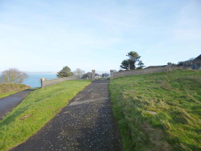 Photo could not load
SY6974 : Castletown, cemetery entrance
Mike Faherty
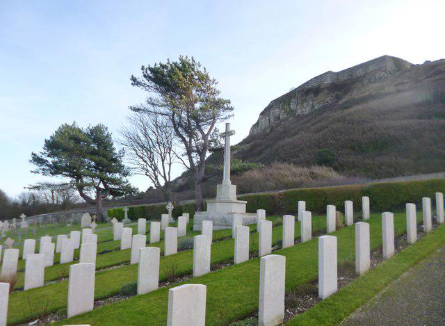 Photo could not load
SY6974 : Castletown, war memorial
Mike Faherty
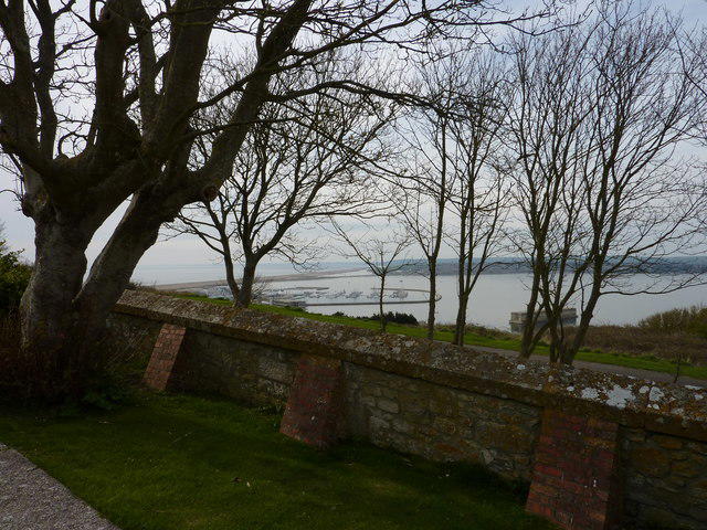 Photo could not load
SY6974 : Trees, Portland
Ivan Hall
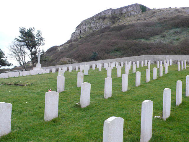 Photo could not load
SY6974 : Navy cemetery, Portland
Nigel Mykura
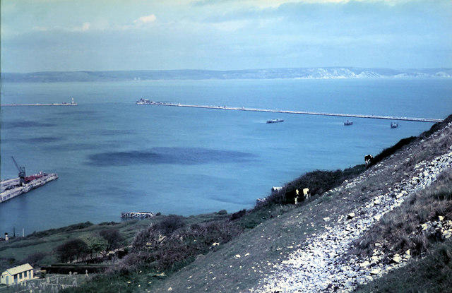 Photo could not load
SY6973 : Cattle on the steep slope of The Verne 1962
Gordon Spicer
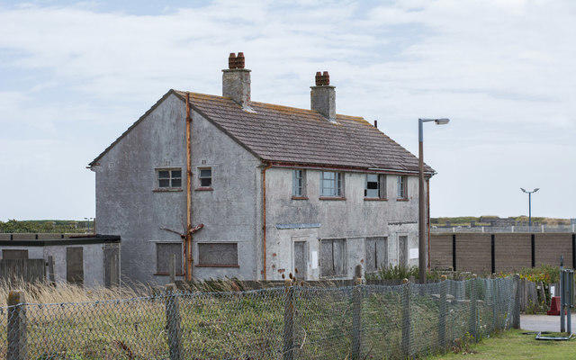 Photo could not load
SY6973 : A derelict building at The Verne Prison, Fortuneswell
Oliver Mills
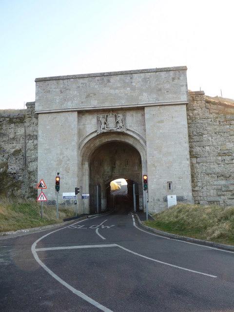 Photo could not load
SY6973 : Portland: entrance to Verne prison
Chris Downer
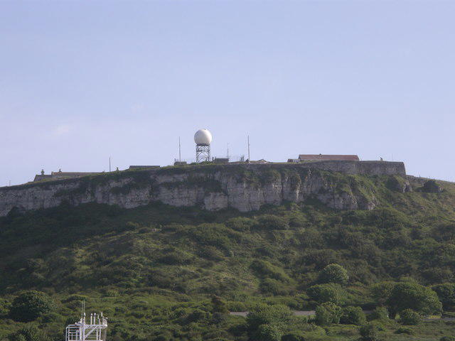 Photo could not load
SY6973 : Cliffs & 'golfball' at north end of Isle of Portland
Jacko
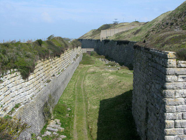 Photo could not load
SY6973 : Moat surrounding the Verne Citadel, Portland
Simon Palmer
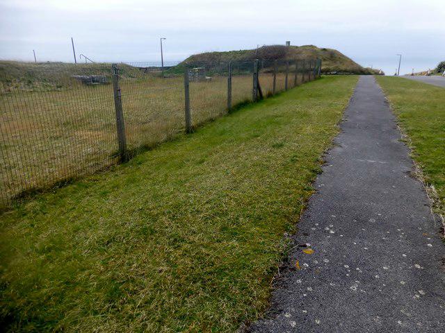 Photo could not load
SY6973 : The Verne
Rude Health
Hill facts and local notes
Classifications
Elevation
152m
500 ft
Prominence
144m
Coordinates
50.5636, -2.4370
SY691738
OS Map
194
Explorer: OL15W
At the Summit
The summit features a military observation point and commanding views over Portland Harbour. There’s a small stone cairn marking the top, though it won’t be competing with the likes of Ben Nevis anytime soon!
Terrain & Geology
The Verne is primarily composed of chalk, a soft and porous limestone that contributes to unique ecosystem diversity. This geology allows for rare flora to thrive in the area, adding to the ecological charm of the region.
Views & Scenery
From the summit, one can see the Jurassic Coast, Portland Bill, and the Isle of Portland, with the shimmering waters of the English Channel bobbing in the distance.
History & Heritage
Name Origin
The name 'Verne' likely comes from the old English for 'alder' trees that once covered the heights.
Historical Significance
Historically, during the 19th century, the Verne was heavily fortified and served as a naval lookout point during important maritime battles.
Getting There & Facilities
Parking
There is a small car park at the entrance to the Verne Hill Nature Reserve which accommodates around 10 vehicles.
Public Transport
Buses run from Weymouth to Portland with the nearest stop being a 15-minute walk from the access point.
Nearby Facilities
There are no facilities directly at the summit, but Weymouth offers ample options including cafes and toilets.
Safety Information
Known Hazards
- Be aware of steep drops near the edge, particularly in foggy conditions.
General Safety Tips
- Check weather conditions before setting out
- Carry appropriate clothing and equipment
- Let someone know your planned route
- Take a map, compass, and GPS device
- Carry emergency supplies: food, water, first aid kit, torch
Hills
Some common questions about the hills answered
Are there group walks up The Verne?
Many walkers use Walkmates to join or organise walks with others. You can check for group walks around The Verne through the maps
Are there other walkers around The Verne?
Activity varies by location and time, but Walkmates lets you see whether others have shared walks or shown interest in this area. Find other people through the walking friends search walking friends for The Verne search or of course create your own walk for The Verne
Can I organise a walk to The Verne?
Yes. If there aren’t any walks listed already, you can create a walk and make it available for others to join.
If you're signed up to Walkmates, you can create a walk to The Verne.
How do I find a walk up this hill?
There are often multiple ways to walk this hill, depending on experience and route preference. Walkmates helps you explore walks and routes that others have shared.
Can I suggest a new route up The Verne?
Yes. You can suggest or create routes to share with others. Walkmates focuses on the social side of walking, so routes are used to help people organise walks and explore areas together, rather than as detailed navigation tools or route libraries.
Other uses really appreciate knowledgeable walkers sharing their routes. Share your favourite route to The Verne here
The is an error or something incorrect about this hill. How do I let you know?
We always strive to keep the information on Walkmates as accurate as possible. If you find an error, please let us know through the contact form and we'll aim to correct it as quickly as possible
Community Discussion
Comments
Location
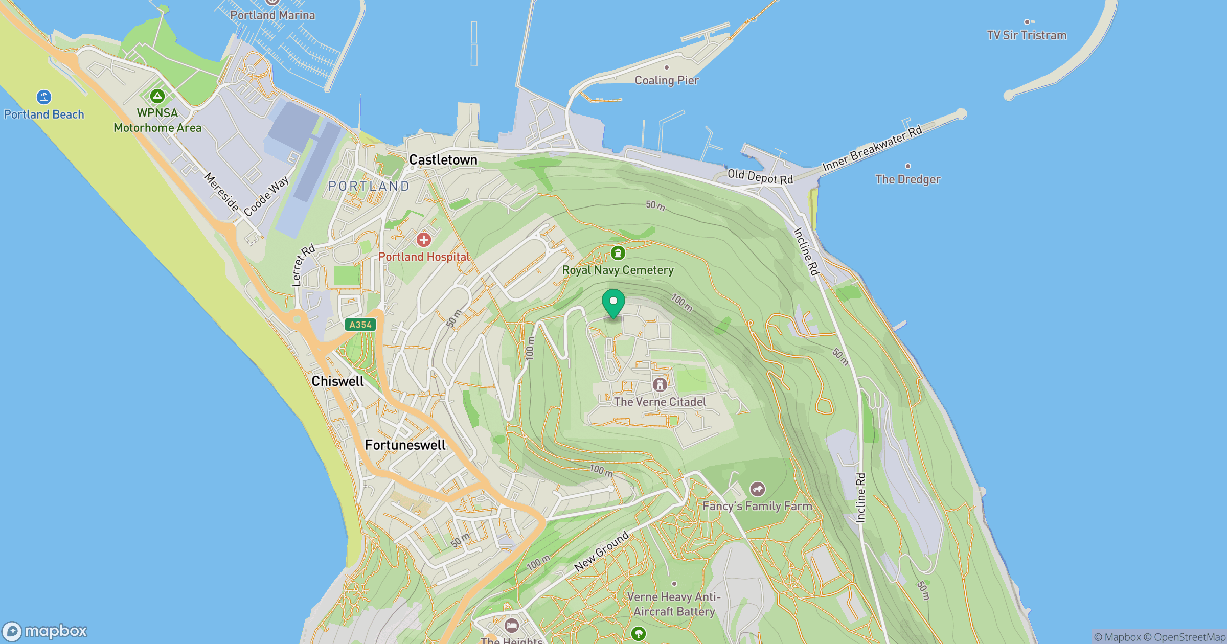
Grid reference: SY691738
View on OpenStreetMapOpens a map in a new tab, centred on the hill.



No comments yet. Be the first.