

Eggardon Hill
Good walks are even better shared.
SY5493 : Barn and mast on route with public access above Coombe Bottom
Becky Williamson Photo source
Overview
Eggardon Hill
Eggardon Hill is in west Dorset, east of Bridport. Its current DoBIH height is 253.1 m, with 122.9 m prominence: it is a Hump and Tump, not a Marilyn. Primary hill record
Natural summit and hillfort access
The natural high point is unmarked arable ground at SY 54843 94049. It is separate from the popular hillfort. DoBIH notes that the nearby artificial tumulus is slightly higher, while the trig-bearing tumulus farther north is lower. Neither is the natural summit.
The National Trust promotes visits to the hillfort, but that does not establish access to the exact arable highpoint. Follow public paths and current access signs; do not cross crops or private ground merely to reach the coordinates. Enjoy the extensive views from the permitted hillfort area. National Trust visitor information
Landscape and history
The hill belongs to Dorset’s chalk and Upper Greensand uplands. BGS describes the local Eggardon Grit Member as a calcareous shelly sandstone beneath the Grey Chalk; this is regional geology rather than a precise highpoint investigation. BGS Lexicon
The hillfort has several ramparts, Bronze Age features and barrows, and a later octagonal plantation enclosure used as a sea-mark. Its scheduled-monument designation protects archaeology; it does not itself grant public access. Historic England
A complete return walk
The Eggardon hillfort circular from Powerstock is Walking Britain’s 10.2 km route through Nettlecombe, Knowle Hill and Spyway to the fort, returning by King’s Lane and field paths to the same church-side start. Use the published junction directions and map. The optional extra circuit of the ramparts is excluded from the stated route, and the arable natural summit is not included. No scalar walking time is asserted. Full route
Expect stiles, mud, livestock, steep earthworks and lane walking. Stay on permitted paths and keep away from eroding banks. For a shorter fort visit, National Trust identifies the non-NT lay-by at SY546942; this is a different start and does not inherit the full-loop totals.
Travel and facilities
There are no toilets at the hillfort. Check opening hours if relying on village refreshments. Maiden Newton provides a rail gateway, with any onward journey additional to the Powerstock circuit; consult current local transport information rather than older bus numbers. National Rail, Dorset Council
Sources checked on 18 October 2026. The Walking Britain route is undated; this is not a current on-foot inspection or permission to enter the separate summit field.
Explore routes near Eggardon Hill
Walks starting near this hill. Open a route to check its map, distance and full itinerary.
Langdon Hill Circular
View route
Dorchester Walk with Men Walking & Talking
View route
Hardy's Cottage, Stinsford and Dorchester from Thorncombe Wood
View route
Weymouth to Sandsfoot Gardens: Rodwell Trail and Radipole waterside return
View route
Route planning notes
These notes describe possible approaches. Check a route's map and access information when planning your walk.
Eggardon hillfort circular from Powerstock
Start and finish near St Mary the Virgin church in Powerstock (SY517962), using lawful on-street parking if available. Take the signed path to Nettlecombe, then the playing-field path and cross the old railway to Knowle Hill and Lodersland Farm. Continue to Spyway and the bridleway by South Eggardon House, follow field edges to the road at SY545939, then walk north to the hillfort approach at SY546942. Use the through-path across the hillfort; the optional rampart circuit is extra. Descend to King’s Lane at SY540950, take the green-lane fork at SY536952 and the yellow-waymarked path at SY528956, cross the old railway and return via the stream and lane to Powerstock. Walking Britain’s 10.2 km total applies to this complete return circuit. It visits the hillfort, not the separate 253.1 m natural summit in an arable field; no access across crops or private land is implied. Source: https://www.walkingbritain.co.uk/walk-3265-description
Make a day of it, together
Find someone to share the walk with, or organise a day out along a route you like.
Photo Gallery
View all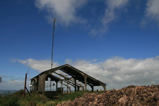 Photo could not load
SY5493 : Barn and mast on route with public access above Coombe Bottom
Becky Williamson
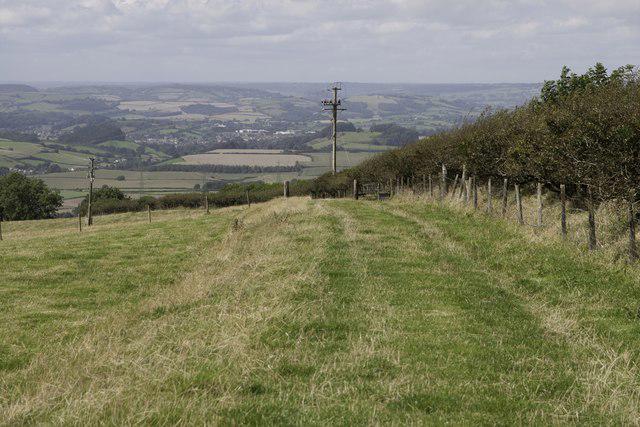 Photo could not load
SY5493 : Route with other public access south of Eggardon Hill
Becky Williamson
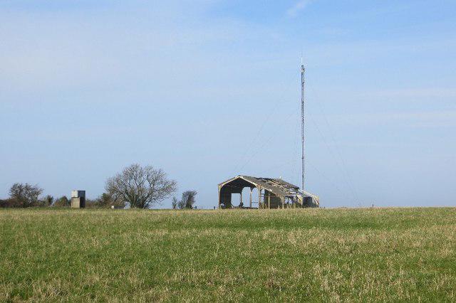 Photo could not load
SY5493 : Summit plateau, Eggardon Hill
Richard Webb
Hill facts and local notes
Classifications
Elevation
253m
830 ft
Prominence
123m
Coordinates
50.7442, -2.6414
SY548940
OS Map
194
Explorer: OL15W 117W
At the Summit
DoBIH records the 253.1 m natural high point as unmarked arable ground at SY 54843 94049, separate from the public hillfort. A tumulus about 50 m east-southeast is 0.1 m higher but artificial; the tumulus with the trig at SY 54643 94438 is 1.3 m lower. Permission to visit the hillfort does not establish access to the arable summit.
Terrain & Geology
Eggardon lies in the Cretaceous chalk-and-Upper-Greensand landscape of west Dorset. BGS names the Eggardon Grit Member from this area: a calcareous, shelly sandstone within the Upper Greensand beneath the Grey Chalk. This regional account does not assign a precise formation to the current natural summit point.
Views & Scenery
The public hillfort offers extensive views across west Dorset towards the coast and English Channel when visibility permits.
History & Heritage
Historical Significance
Eggardon’s scheduled Iron Age hillfort has substantial multiple ramparts, earlier Bronze Age features and two bowl barrows. Historic England also records the later octagonal enclosure used for a coppice serving as a sea-mark. These archaeological landmarks must be distinguished from the separate natural high point.
Getting There & Facilities
Parking
For a short hillfort visit, National Trust identifies a free, non-NT roadside lay-by at SY546942; cross the road to the southern rampart footpath and obey local signs. The described longer circuit instead starts in Powerstock, where the route publisher suggests respectful on-street parking near the church. Neither option guarantees a space or access to the separate natural summit.
Public Transport
Maiden Newton is a rail gateway for the area. Use Dorset Council’s current journey information to check any onward connection to Powerstock or the hillfort and the return journey; no direct hill bus is established here. Travel from the station is additional to the described Powerstock loop.
Nearby Facilities
National Trust lists no toilets at the hillfort. The published longer route passes refreshment opportunities in Powerstock, Nettlecombe and Spyway, but check current opening and do not depend on them for water or shelter. Bridport has a wider choice of services.
Safety Information
Known Hazards
- Keep to public paths and the permitted hillfort area; do not cross crops or fences to reach the separate arable natural summit without confirmed permission.
- Hillfort ramparts are steep and can be slippery. Protect earthworks and archaeological remains.
- Expect livestock, including cattle; keep dogs under close control and obey current signs and any event-specific restrictions.
- The Powerstock circuit includes stiles, muddy or overgrown paths, stream crossings and road walking.
General Safety Tips
- Check weather conditions before setting out
- Carry appropriate clothing and equipment
- Let someone know your planned route
- Take a map, compass, and GPS device
- Carry emergency supplies: food, water, first aid kit, torch
Hills
Some common questions about the hills answered
Are there group walks up Eggardon Hill?
Many walkers use Walkmates to join or organise walks with others. You can check for group walks around Eggardon Hill through the maps
Are there other walkers around Eggardon Hill?
Activity varies by location and time, but Walkmates lets you see whether others have shared walks or shown interest in this area. Find other people through the walking friends search walking friends for Eggardon Hill search or of course create your own walk for Eggardon Hill
Can I organise a walk to Eggardon Hill?
Yes. If there aren’t any walks listed already, you can create a walk and make it available for others to join.
If you're signed up to Walkmates, you can create a walk to Eggardon Hill.
How do I find a walk up this hill?
There are often multiple ways to walk this hill, depending on experience and route preference. Walkmates helps you explore walks and routes that others have shared.
Can I suggest a new route up Eggardon Hill?
Yes. You can suggest or create routes to share with others. Walkmates focuses on the social side of walking, so routes are used to help people organise walks and explore areas together, rather than as detailed navigation tools or route libraries.
Other uses really appreciate knowledgeable walkers sharing their routes. Share your favourite route to Eggardon Hill here
The is an error or something incorrect about this hill. How do I let you know?
We always strive to keep the information on Walkmates as accurate as possible. If you find an error, please let us know through the contact form and we'll aim to correct it as quickly as possible
Community Discussion
Comments
Location
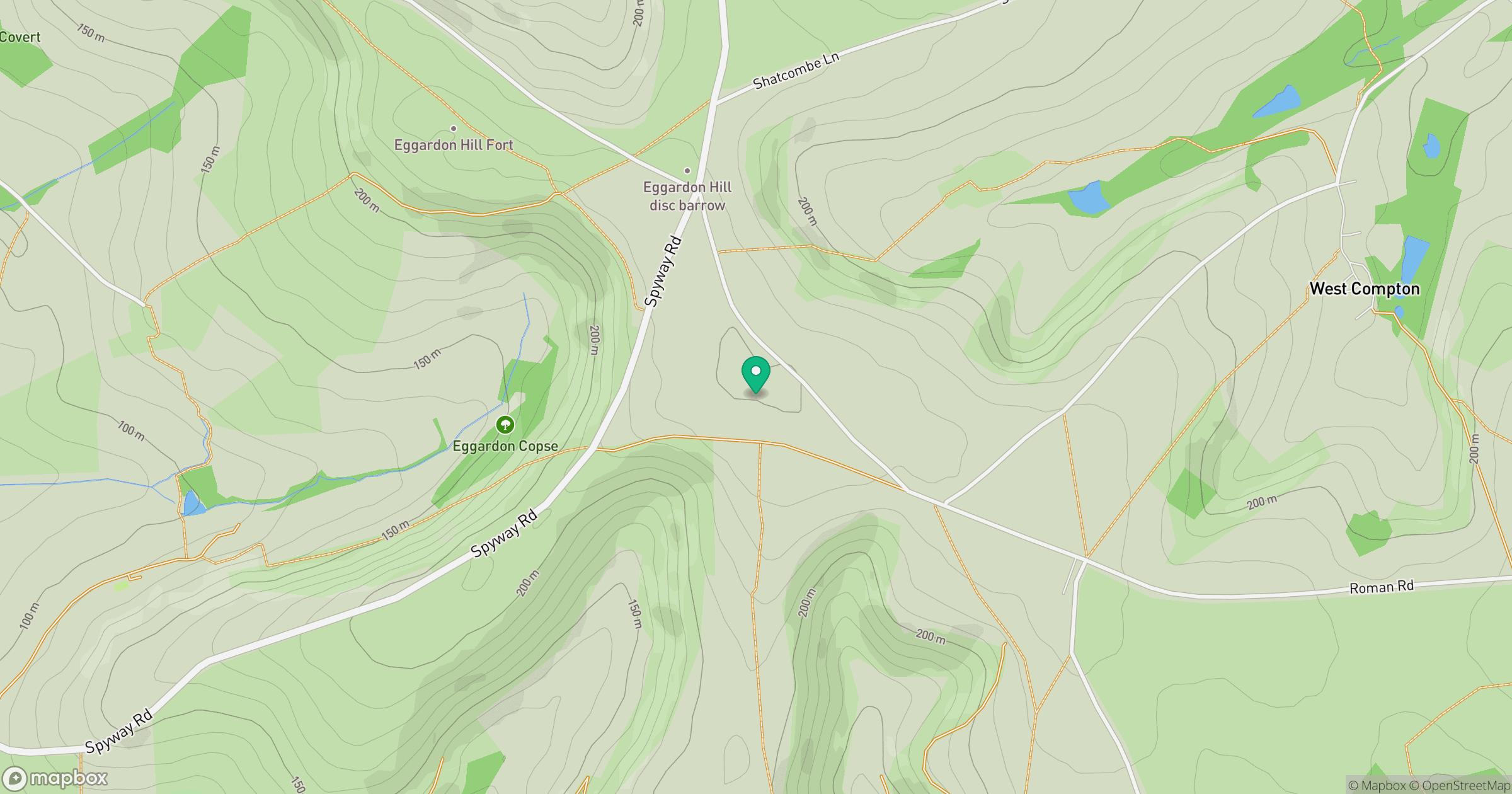
Grid reference: SY548940
View on OpenStreetMapOpens a map in a new tab, centred on the hill.



No comments yet. Be the first.