

Bulbarrow Hill
Good walks are even better shared.
Overview
Bulbarrow Hill: A Hiker's Delight
Introduction
Nestled in the rolling hills of Dorset, Bulbarrow Hill stands proudly as the second-highest point in the county. At 274 meters, it’s not the highest peak you’ll find in the UK, but what it lacks in height, it more than makes up for in charm.
Geology
The hill is primarily composed of Greensand, a sedimentary rock which predates the dinosaurs—just think of the stories it could tell! This geology not only adds character but also supports the diverse flora and fauna that you can spot while hiking.
Routes
The best way to tackle Bulbarrow Hill is via the Bulbarrow Hill Circular route. This moderate circular hike spans about 5.5 km and typically takes around 2.5 hours to complete. Expect a delightful mix of grassy clearings, rocky paths, and not-so-boggy bits based on the weather.
Summit Features
Upon reaching the summit, you’ll be greeted by a trig point—a delightful reminder of British surveying history. There are also expansive grassy areas perfect for a pit stop and some picturesque picnic time.
Terrain
The terrain is primarily grassy but features rocky paths and the occasional boggy patch. Proper footwear is encouraged unless you fancy a refreshing mud bath!
Views
From the summit, you can feast your eyes on stunning views of the Blackmore Vale and beyond. On particularly clear days, you might even catch a glimpse of the Isle of Portland! For the best experience, plan your visit in late spring or early autumn.
Hazards
While you’re unlikely to encounter any dragons, do watch your step—uneven terrain can be tricky, especially in wet weather. And remember, sheep have the right of way!
Access
To get to Bulbarrow Hill, there’s a well-signposted car park at ST 777 052. While public transport is scarce, a bit of walking from nearby transport options in Blandford Forum is all part of the adventure.
Facilities
No facilities at the summit but head back to Blandford Forum for some much-deserved refreshment. A classic cream tea awaits you!
Conclusion
In summary, Bulbarrow Hill offers a delightful day out for hikers of varying abilities. Whether you’re a seasoned pro or just wanting to stretch your legs, this hill has something for everyone. So, pack your bag, lace up those boots, and set out for a delightful escapade!
Happy hiking!
Explore routes near Bulbarrow Hill
Public walks starting within 80 km of this hill. Nearby does not mean a route reaches the summit; check its map and access before setting out.
Sturminster Newton, Cutt Mill and Stalbridge Lane
View route
Hardy's Cottage, Stinsford and Dorchester from Thorncombe Wood
View route
Dorchester Walk with Men Walking & Talking
View route
Badbury Rings and The Oaks from Heron Drove, Dorset
View route
Route planning notes
These notes describe possible approaches, not verified navigable routes or permission to cross land. Check current paths, local access rules and conditions before setting out.
Bulbarrow Hill Circular
A scenic circular route that starts and ends at the Bulbarrow Hill car park. It offers a variety of terrains and beautiful views.
Make a day of it, together
Find someone to share the walk with, or organise a day out along a route you like.
Photo Gallery
View all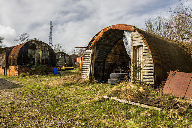 Photo could not load
ST7805 : RAF Bulbarrow Hill: WW2 Domestic Site (7)
Mike Searle
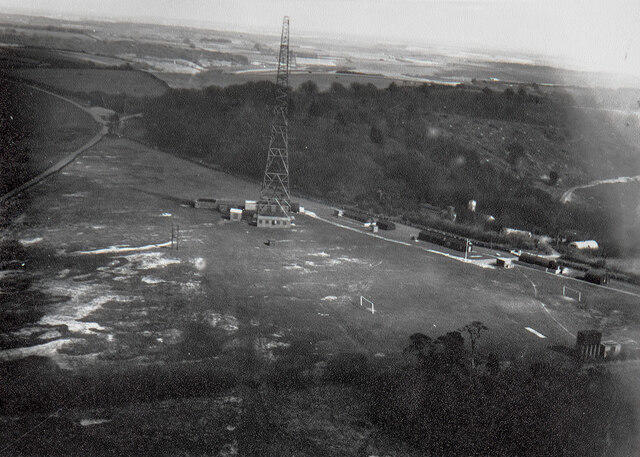 Photo could not load
ST7705 : RAF Bulbarrow Hill: WW2 GEE Navigation Radar Station in 1957 (9)
Anon by request
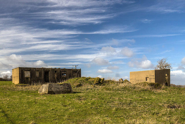 Photo could not load
ST7705 : RAF Bulbarrow Hill: WW2 GEE Navigation Radar Station (4)
Mike Searle
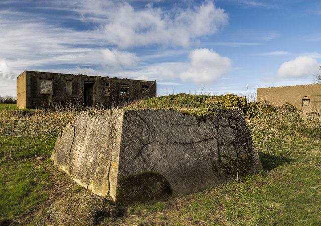 Photo could not load
ST7705 : RAF Bulbarrow Hill: WW2 GEE Navigation Radar Station (5)
Mike Searle
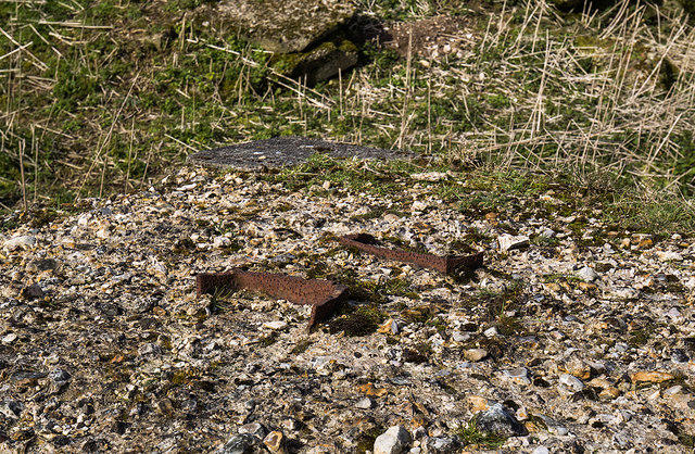 Photo could not load
ST7705 : RAF Bulbarrow Hill: WW2 GEE Navigation Radar Station (6)
Mike Searle
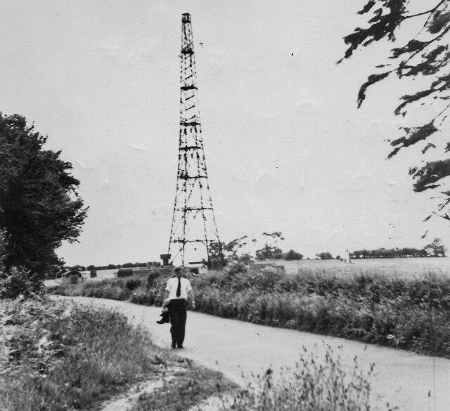 Photo could not load
ST7705 : RAF Bulbarrow Hill: WW2 GEE Navigation Radar Station in 1957 (8)
Anon by request
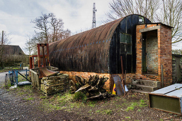 Photo could not load
ST7805 : RAF Bulbarrow Hill: WW2 Domestic Site (4)
Mike Searle
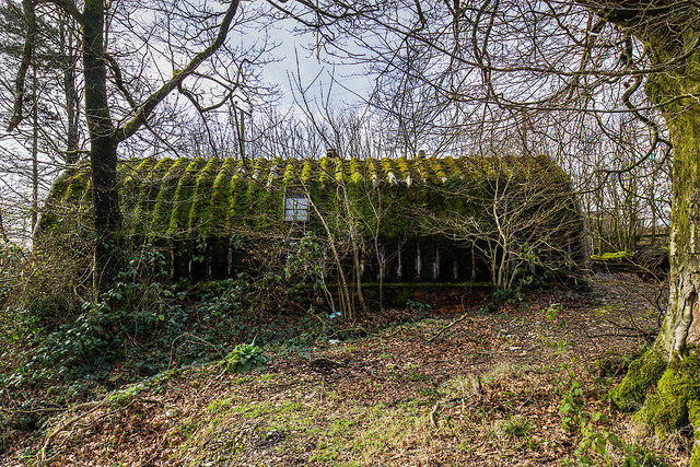 Photo could not load
ST7805 : RAF Bulbarrow Hill: WW2 Domestic Site (2)
Mike Searle
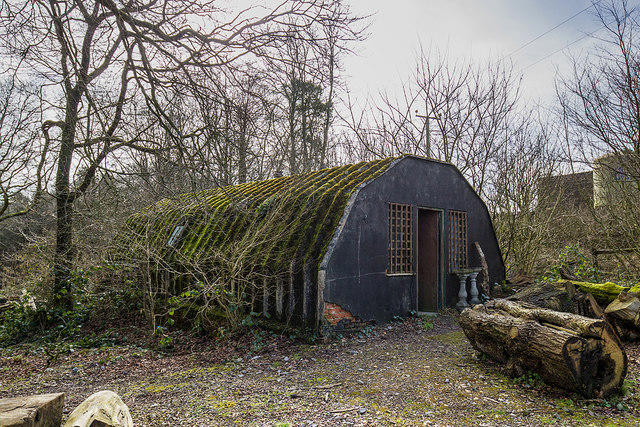 Photo could not load
ST7805 : RAF Bulbarrow Hill: WW2 Domestic Site (3)
Mike Searle
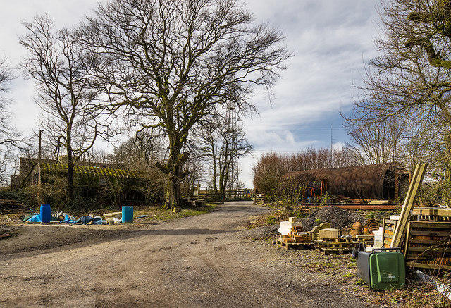
ST7805 : RAF Bulbarrow Hill: WW2 Domestic Site (1)
Mike Searle
Hill facts and local notes
Classifications
Elevation
274m
899 ft
Prominence
141m
Coordinates
50.8493, -2.3160
ST778055
OS Map
194
Explorer: 117E
At the Summit
At the summit, you'll find a trig point that gives a nod to the true heights of British surveying. There are also some lovely grassy areas to sit and enjoy a packed lunch.
Terrain & Geology
Bulbarrow Hill is primarily composed of Greensand, a sedimentary rock that is characteristic of the area. This provides a unique landscape and contributes to the charming vistas you can enjoy.
Views & Scenery
Distant views of the Blackmore Vale and the Puddletown Forest. On a clear day, you might just see the Isle of Portland poking out in the distance.
History & Heritage
Name Origin
The name 'Bulbarrow' is thought to derive from the Old English 'bula', meaning 'short hill' - which is quite the understatement for such a lovely place!
Historical Significance
Bulbarrow Hill has historical significance as a site of ancient earthworks and is well-known among local hikers and nature enthusiasts.
Getting There & Facilities
Check current local access restrictions, parking rules and transport timetables before travelling. These notes do not confirm public access to the summit.
Parking
There is a car park located at ST 777 052, providing easy access to the trails leading to the summit.
Public Transport
Local bus services run from Blandford Forum to nearby villages, but be prepared for a bit of a walk as public transport options are limited.
Nearby Facilities
While there are no facilities at the summit, the nearest cafe can be found in Blandford Forum, where you can reward yourself with a well-deserved cream tea.
Safety Information
Known Hazards
- Uneven terrain can be challenging in wet weather. Beware of sheep on the paths, as they have the right of way!
General Safety Tips
- Check weather conditions before setting out
- Carry appropriate clothing and equipment
- Let someone know your planned route
- Take a map, compass, and GPS device
- Carry emergency supplies: food, water, first aid kit, torch
Hills
Some common questions about the hills answered
Are there group walks up Bulbarrow Hill?
Many walkers use Walkmates to join or organise walks with others. You can check for group walks around Bulbarrow Hill through the maps
Are there other walkers around Bulbarrow Hill?
Activity varies by location and time, but Walkmates lets you see whether others have shared walks or shown interest in this area. Find other people through the walking friends search walking friends for Bulbarrow Hill search or of course create your own walk for Bulbarrow Hill
Can I organise a walk to Bulbarrow Hill?
Yes. If there aren’t any walks listed already, you can create a walk and make it available for others to join.
If you're signed up to Walkmates, you can create a walk to Bulbarrow Hill.
How do I find a walk up this hill?
There are often multiple ways to walk this hill, depending on experience and route preference. Walkmates helps you explore walks and routes that others have shared.
Can I suggest a new route up Bulbarrow Hill?
Yes. You can suggest or create routes to share with others. Walkmates focuses on the social side of walking, so routes are used to help people organise walks and explore areas together, rather than as detailed navigation tools or route libraries.
Other uses really appreciate knowledgeable walkers sharing their routes. Share your favourite route to Bulbarrow Hill here
The is an error or something incorrect about this hill. How do I let you know?
We always strive to keep the information on Walkmates as accurate as possible. If you find an error, please let us know through the contact form and we'll aim to correct it as quickly as possible
Community Discussion
Comments
Location
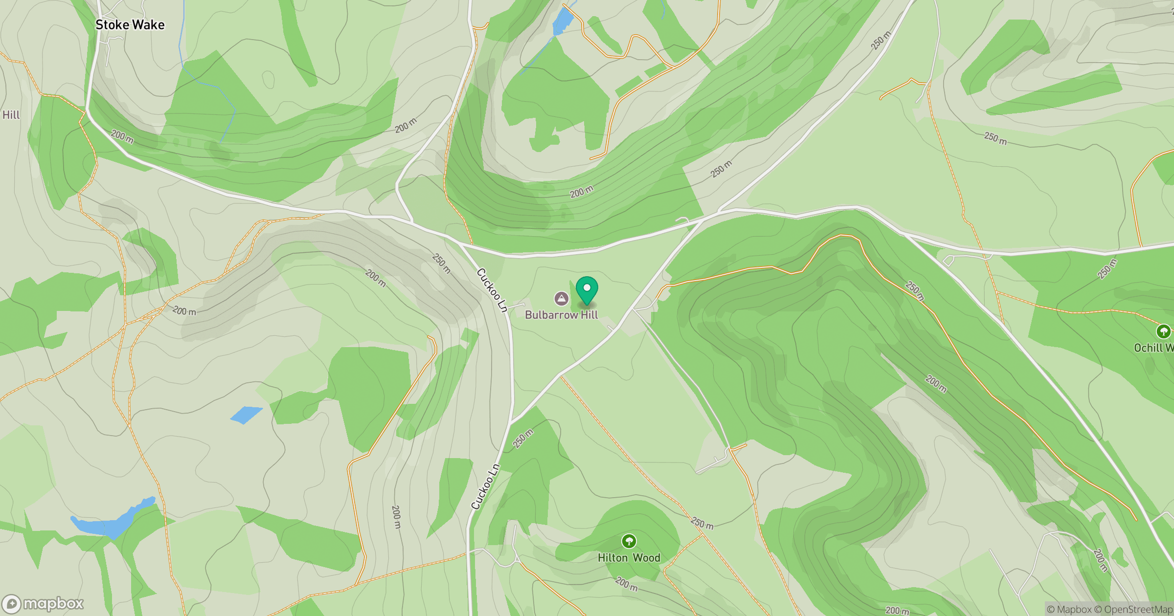
Grid reference: ST778055
View on OpenStreetMapOpens a map in a new tab, centred on the hill.
Hills within 30 km
Straight-line distance, not a walking route or confirmation of access.
No comments yet. Be the first.