

Killerton Park
Good walks are even better shared.
SS9700 : Broadclyst: on Dolbury Hill
Martin Bodman Photo source
Overview
Killerton Park: A Jewel in Devon's Crown
Located near the small town of Cullompton, Killerton Park is not just your average park; it's a sprawling estate that once belonged to the Acland family, steeped in over 200 years of history. The park covers approximately 6,400 acres and is a national treasure, now managed by the National Trust. If you fancy a peaceful stroll, or perhaps a little jaunt through history, this is the place for you!
Geology
The landscape of Killerton is predominantly clay and sandstone, a typical composition for the picturesque Devon area. This rich geology supports a wide variety of flora and fauna, making it an ideal spot for nature lovers. Be mindful of the soft ground in certain sections though; you don’t want to lose your wellies in a mud pit!
Routes
The Killerton House Circular Walk is a 5km loop that takes you around the enchanting estate gardens and woodland paths. This route is easy and perfect for families, ensuring every step is enjoyable. On the other hand, if you're feeling a bit more adventurous, try the A la Ronde Walk, which leads you towards a stunning architectural wonder, a delightful 16-sided house that’s bound to tickle your fancy!
Terrain
Expect a mix of grassy expanses and woodland paths. The terrain is quite gentle, so it’s easy on the legs. However, keep an eye out for those pesky uneven spots that can catch you off-guard.
Views
While Killerton isn’t about towering summits, the views you’ll have of the surrounding Devon countryside are nothing short of breathtaking. The best time to appreciate these vistas is undoubtedly in Spring when the gardens are in full bloom and the air is scented with fresh blossoms, or in Autumn when the foliage turns into a riot of colours.
Hazards
As with any outdoor area, watch your step! Uneven ground and muddy patches can sneak up on you, so best to stick to the well-trodden paths when possible.
Access
If driving, the nearest parking is conveniently located on-site at Killerton Park (postcode EX5 3LE) with plenty of space. For those opting for public transport, services from Exeter will drop you off close by, so you can hop on a bus and leave the car behind!
Nearby Facilities
Don’t fret if you’re feeling peckish; the on-site café offers a selection of treats to refuel after your adventures. Restrooms are also available nearby, ensuring you won’t have to venture too far to find facilities.
History
The name 'Killerton' translates to 'the place on the river hill.' With its historical roots dating back centuries, the estate is an iconic part of Devon's cultural tapestry.
In summary, whether you’re a dedicated hiker looking for your next challenge, or simply someone enjoying a gentle stroll through beautiful scenery, Killerton Park is worth the visit. Don't forget your camera; you'll want to capture every corner of this delightful estate!
Happy hiking!
Explore routes near Killerton Park
Walks starting near this hill. Open a route to check its map, distance and full itinerary.
Killerton to Clyston Mill: Broadclyst farmland and heritage walk
View route
Exeter Canal, Double Locks and Countess Wear river circuit
View route
Tiverton Grand Western Canal: Crownhill Bridge Return
View route
Sampford Peverell to Whipcott Bridge: Grand Western Canal return
View route
Route planning notes
These notes describe possible approaches. Check a route's map and access information when planning your walk.
Killerton House Circular Walk
A pleasant circular route around the estate, showcasing beautiful gardens and woodland.
A la Ronde Walk
A scenic path that leads you to the stunning A la Ronde, a unique 16-sided house, set amidst meadows and woodlands.
Make a day of it, together
Find someone to share the walk with, or organise a day out along a route you like.
Photo Gallery
View all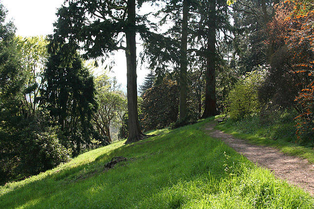 Photo could not load
SS9700 : Broadclyst: on Dolbury Hill
Martin Bodman
 Photo could not load
SS9700 : Fungus, Killerton Park
Derek Harper
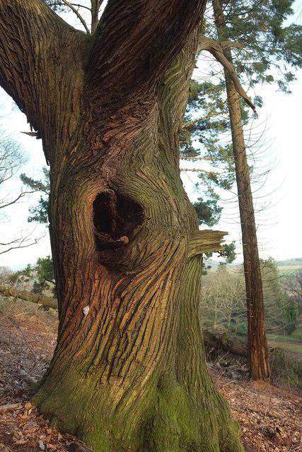 Photo could not load
SS9700 : Tree trunk, Killerton Park
Derek Harper
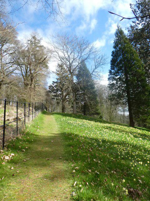 Photo could not load
SS9700 : A path by the northern fence of Killerton Garden
David Smith
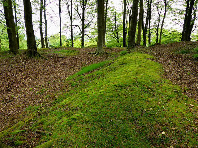 Photo could not load
SS9700 : Killerton Park
Chris Gunns
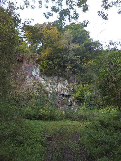 Photo could not load
SS9700 : Quarry in Killerton Park
David Smith
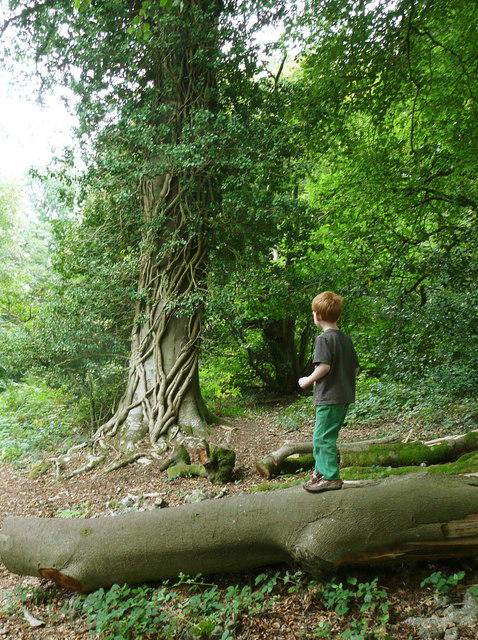 Photo could not load
SS9700 : A magic tree at Killerton
Humphrey Bolton
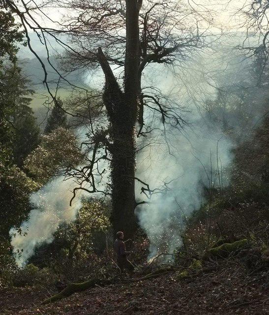 Photo could not load
SS9700 : Bonfires at Killerton Park
Derek Harper
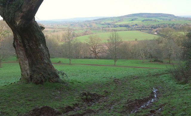 Photo could not load
SS9700 : Killerton Park
Derek Harper
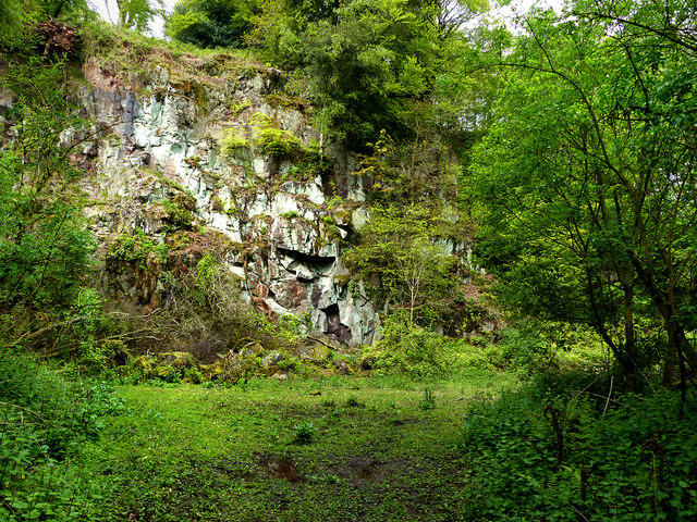
SS9700 : The Quarry
Chris Gunns
Hill facts and local notes
Classifications
Elevation
128m
420 ft
Prominence
81m
Coordinates
50.7940, -3.4585
SS973004
OS Map
192
Explorer: 114S
At the Summit
While not a summit in the traditional sense, the park features several hillocks and viewpoints, including the expansive gardens.
Terrain & Geology
Predominantly clay and sandstone, typical of the Devon landscape, offering a rich substrate for diverse plant life.
Views & Scenery
Views of the surrounding countryside, gardens, and the historical Killerton House.
History & Heritage
Name Origin
The name 'Killerton' derives from the Old English, meaning 'the place on the river hill'.
Historical Significance
Killerton is a notable National Trust property, showcasing the cultural history and landscape of Devon.
Getting There & Facilities
Parking
Killerton Park has an on-site car park (postcode EX5 3LE) with ample space for visitors.
Public Transport
Regular bus services run from Exeter to the estate; check local timetables for current routes.
Nearby Facilities
On-site café and toilet facilities available near the entrance, with further amenities in the nearby town.
Safety Information
Known Hazards
- Uneven paths in woodland areas, potential for muddy spots in wet weather.
General Safety Tips
- Check weather conditions before setting out
- Carry appropriate clothing and equipment
- Let someone know your planned route
- Take a map, compass, and GPS device
- Carry emergency supplies: food, water, first aid kit, torch
Hills
Some common questions about the hills answered
Are there group walks up Killerton Park?
Many walkers use Walkmates to join or organise walks with others. You can check for group walks around Killerton Park through the maps
Are there other walkers around Killerton Park?
Activity varies by location and time, but Walkmates lets you see whether others have shared walks or shown interest in this area. Find other people through the walking friends search walking friends for Killerton Park search or of course create your own walk for Killerton Park
Can I organise a walk to Killerton Park?
Yes. If there aren’t any walks listed already, you can create a walk and make it available for others to join.
If you're signed up to Walkmates, you can create a walk to Killerton Park.
How do I find a walk up this hill?
There are often multiple ways to walk this hill, depending on experience and route preference. Walkmates helps you explore walks and routes that others have shared.
Can I suggest a new route up Killerton Park?
Yes. You can suggest or create routes to share with others. Walkmates focuses on the social side of walking, so routes are used to help people organise walks and explore areas together, rather than as detailed navigation tools or route libraries.
Other uses really appreciate knowledgeable walkers sharing their routes. Share your favourite route to Killerton Park here
The is an error or something incorrect about this hill. How do I let you know?
We always strive to keep the information on Walkmates as accurate as possible. If you find an error, please let us know through the contact form and we'll aim to correct it as quickly as possible
Community Discussion
Comments
Location
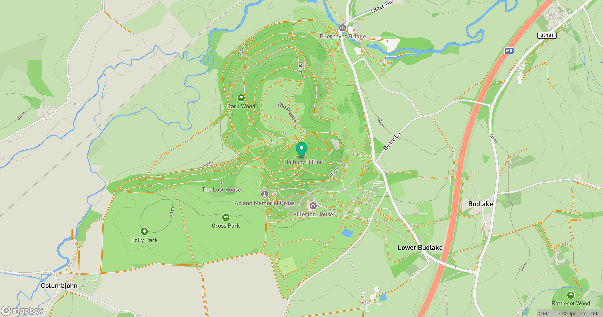
Grid reference: SS973004
View on OpenStreetMapOpens a map in a new tab, centred on the hill.



No comments yet. Be the first.