
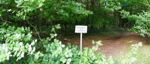
Three Gates Hill
Good walks are even better shared.
Overview
Three Gates Hill
Situated in the picturesque Worcestershire Hills, Three Gates Hill stands at an elevation of 230 meters, making it a modest yet charming ascent for hikers of various skill levels. If you’re looking for a getaway that's got a bit of everything - stunning views, accessible routes, and historical significance - look no further!
Geology
This hill is primarily composed of sandstone and gravel, giving it a rugged texture that contrasts beautifully with the gentle, grassy terrain. Rock formations scattered along the trails tell tales of ancient geological processes that shaped this area long before we put our hiking boots on it.
Routes
Gates Lane Circular
Starting from the quaint village of Alfrick, the Gates Lane Circular is a perfect introduction to the area. This moderate route of 8.5 km will take approximately 2.5 hours, giving you plenty of time to soak in the sights and maybe even spot a deer or two. As you wander through the woodlands and fields, the anticipation of reaching the summit builds beautifully!
Summit Features
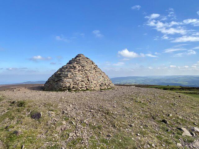
The summit of Three Gates Hill is peppered with a stone cairn that not only marks your achievement but also serves as a lovely spot for a picnic. Don't forget to capture the moment – your friends might want proof that you ventured beyond the couch!
Terrain
The hill’s terrain ranges from soft, grassy slopes to rocky outcrops, providing a pleasant challenge without sending you over the edge – literally! It’s suitable for families and those just wanting a leisurely day out.
Views
Once at the summit, prepare to be amazed by the expansive views. On a clear day, the Malvern Hills stretch out to the south, while the undulating Worcestershire countryside unfolds below. The best seasons for these views? Spring and autumn are ideal for clear skies and vibrant foliage, ensuring your photos will look nothing short of spectacular.
Hazards
While exploring, be wary of the British weather’s notorious unpredictability. A waterproof jacket could be your best friend, as rain may pop up faster than you can say 'typical!'
Nearby Summits
If you're feeling adventurous, why not conquer nearby summits like Hollybush Hill (242 meters) or Worles Common (215 meters) as part of your hiking day?
Access
For travelling to Three Gates Hill, parking is conveniently located at Alfrick's village hall, with enough space for a good number of cars. Public transport options are limited, so plan ahead or consider cycling to get within a stone's throw of your adventure.
Facilities
After your walk, treat yourself to a slice of homemade cake at the local tea shop in Alfrick. It’s a delightful finish to a day spent in nature!
History
The name 'Three Gates' is deeply rooted in the hill's historical past, referring to the ancient pathways that once connected this area with surroundings. For centuries, this hill has not just been a spot for nature lovers but a culturally significant meeting point for the community.
In conclusion, whether you’re a seasoned hiker or just in need of a refreshing stroll, Three Gates Hill offers a lovely escape into the Worcestershire Hills, combined with a sprinkle of local charm.
Happy hiking!
Explore routes near Three Gates Hill
Public walks starting within 80 km of this hill. Nearby does not mean a route reaches the summit; check its map and access before setting out.
Tiverton Grand Western Canal: Crownhill Bridge Return
View route
Sampford Peverell to Whipcott Bridge: Grand Western Canal return
View route
Killerton to Clyston Mill: Broadclyst farmland and heritage walk
View route
Dunster, Gallox Bridge and Bats Castle: deer park hillfort circuit
View route
Route planning notes
These notes describe possible approaches, not verified navigable routes or permission to cross land. Check current paths, local access rules and conditions before setting out.
Gates Lane Circular
A scenic route that starts from the village of Alfrick, traversing lush woodlands and open fields before tackling the hill.
Make a day of it, together
Find someone to share the walk with, or organise a day out along a route you like.
Photo Gallery
View all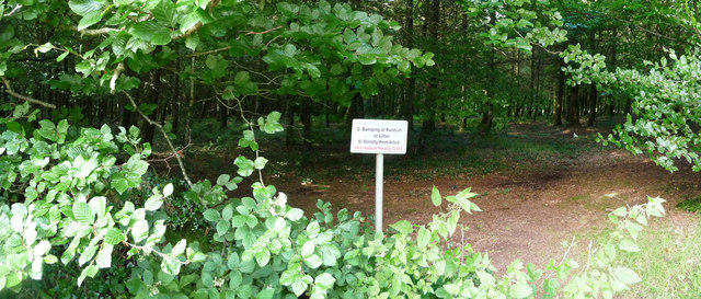 Photo could not load
SS9819 : Mid Devon : Woodland
Lewis Clarke
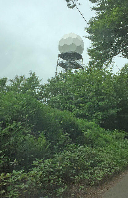 Photo could not load
SS9819 : Cobbacombe Cross Weather Radar Site
thejackrustles
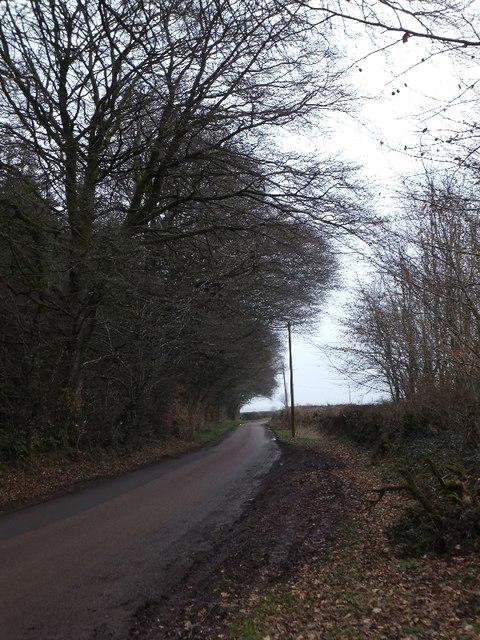 Photo could not load
SS9819 : Road passing Cobbacombe Plantation
David Smith
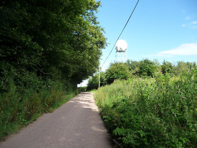 Photo could not load
SS9819 : Mid Devon : Country Road & Weather Radar
Lewis Clarke
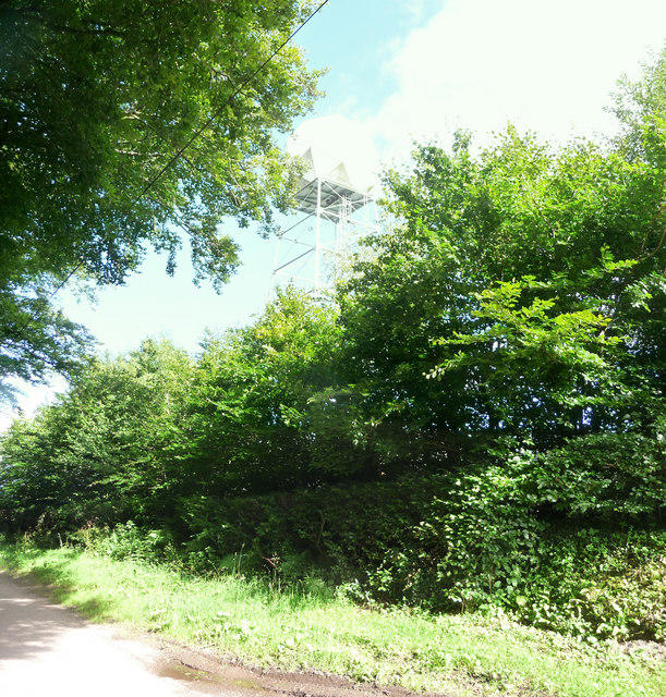 Photo could not load
SS9819 : Mid Devon : Weather Radar
Lewis Clarke
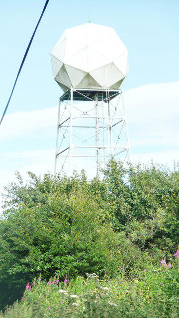 Photo could not load
SS9819 : Mid Devon : Weather Radar
Lewis Clarke
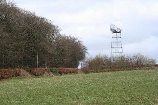 Photo could not load
SS9819 : Tiverton: weather radar
Martin Bodman
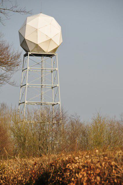 Photo could not load
SS9819 : Mid Devon : Weather Radar
Lewis Clarke
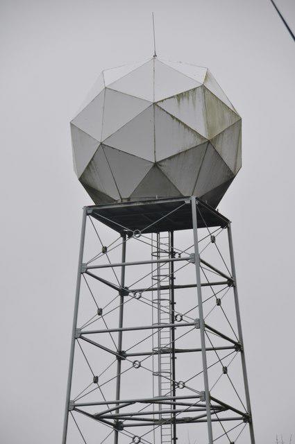 Photo could not load
SS9819 : Mid Devon : Weather Radar
Lewis Clarke
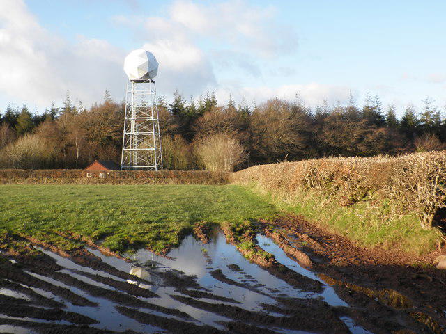
SS9819 : Weather radar station viewed from Three Gates Hill
Roger Cornfoot
Hill facts and local notes
Classifications
Elevation
286m
938 ft
Prominence
123m
Coordinates
50.9631, -3.4522
SS981191
OS Map
181
Explorer: 114N
At the Summit
The summit features a modest stone cairn and offers space for a picnic, albeit not a five-star dining experience. Don't forget to snap a few selfies with the stunning backdrop!
Terrain & Geology
Three Gates Hill is predominantly made up of sandstone and gravel, providing a unique viewpoint into the geological history of the area, punctuated by rugged outcrops and gentle slopes.
Views & Scenery
From the summit, you can gaze across to the Malvern Hills to the south and the expansive Worcestershire countryside, dotted with quaint villages.
History & Heritage
Name Origin
The name 'Three Gates' is said to refer to local ancient paths that once connected the hill to surrounding areas, a nod to its historical significance as a meeting point.
Historical Significance
Historically, Three Gates Hill served as a landmark for local farmers and travelers, making it a point of interest for centuries.
Getting There & Facilities
Check current local access restrictions, parking rules and transport timetables before travelling. These notes do not confirm public access to the summit.
Parking
Parking can be found at Alfrick's village hall, with space for several cars. Just mind the locals - parking for extended periods may not sit well with them.
Public Transport
A bus service operates from Worcester to Alfrick with limited schedules, so be sure to check times ahead. Consider arriving by bike if you fancy a challenge!
Nearby Facilities
Alfrick boasts a charming tea shop offering home-made cakes and the occasional picnic bench – just don’t confuse it for a five-star restaurant.
Safety Information
Known Hazards
- Beware of sudden weather changes; always pack a waterproof, just in case the British weather decides to make an appearance.
General Safety Tips
- Check weather conditions before setting out
- Carry appropriate clothing and equipment
- Let someone know your planned route
- Take a map, compass, and GPS device
- Carry emergency supplies: food, water, first aid kit, torch
Hills
Some common questions about the hills answered
Are there group walks up Three Gates Hill?
Many walkers use Walkmates to join or organise walks with others. You can check for group walks around Three Gates Hill through the maps
Are there other walkers around Three Gates Hill?
Activity varies by location and time, but Walkmates lets you see whether others have shared walks or shown interest in this area. Find other people through the walking friends search walking friends for Three Gates Hill search or of course create your own walk for Three Gates Hill
Can I organise a walk to Three Gates Hill?
Yes. If there aren’t any walks listed already, you can create a walk and make it available for others to join.
If you're signed up to Walkmates, you can create a walk to Three Gates Hill.
How do I find a walk up this hill?
There are often multiple ways to walk this hill, depending on experience and route preference. Walkmates helps you explore walks and routes that others have shared.
Can I suggest a new route up Three Gates Hill?
Yes. You can suggest or create routes to share with others. Walkmates focuses on the social side of walking, so routes are used to help people organise walks and explore areas together, rather than as detailed navigation tools or route libraries.
Other uses really appreciate knowledgeable walkers sharing their routes. Share your favourite route to Three Gates Hill here
The is an error or something incorrect about this hill. How do I let you know?
We always strive to keep the information on Walkmates as accurate as possible. If you find an error, please let us know through the contact form and we'll aim to correct it as quickly as possible
Community Discussion
Comments
Location
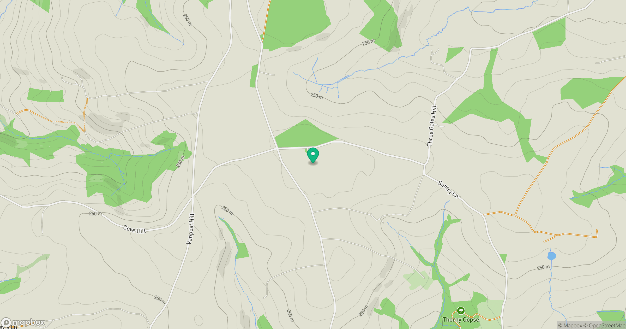
Grid reference: SS981191
View on OpenStreetMapOpens a map in a new tab, centred on the hill.
Hills within 30 km
Straight-line distance, not a walking route or confirmation of access.
No comments yet. Be the first.