

Hen Cloud
Good walks are even better shared.
SK0061 : Hen Cloud
Stephen Craven Photo source
Overview
Hen Cloud: A Peak District Gem
Nestled in the esteemed Peak District, Hen Cloud offers outdoor enthusiasts a delightful mix of challenging climbs and breathtaking scenery. Standing tall at 426 meters, this Marilyn presents itself as a beacon for adventurers and nature lovers alike, with its rugged edges and striking gritstone features.
Geology
Hen Cloud is a marvel of geology. Its steep cliffs, formed predominantly from gritstone, were born from ancient sands that gradually solidified over millennia. We’re talking about a structure that has seen the ages pass, with layers telling a story of the Earth's history. Instead of a history book, it’s got a good old-fashioned stack of rocks!
Routes
One of the most popular paths is the Hen Cloud Circular Walk. This moderate route provides a taste of everything: sweeping views, some rocky terrain, and a friendly mix of the natural world that makes you want to hum a tune.
- Distance: 5.0 km
- Time: Approximately 2.5 hours
By the end, you’ll feel as fit as a fiddle and have some great photo opportunities!
Summit Features
At the top, expect to find a quaint little cairn, surrounded by a series of rocky outcrops. These make for perfect resting spots to gulp down that well-deserved sandwich. Just watch out for the seagulls – they're cheeky blighters!
Views
The panoramic views from Hen Cloud are enough to make even the grumpiest resident smile. Look out towards the undulating hills of the Peak District, where every contour tells a story. Aim for late spring or autumn for views that will knock your socks off!
Hazards
As you climb, bear in mind that the rocky paths can be slippery – a well-timed step can lead to unexpected yoga poses! Sturdy shoes are a must, and be mindful of loose gravel underfoot as you navigate the ascent.
Access
Access to Hen Cloud is straightforward. The nearest parking can be found at SK007618, merely a stone's throw from the foot of the hill. If you're relying on public transport, Leek station is your best bet, with local buses buzzing around for convenient drop-offs.
Nearby Facilities
While Hen Cloud itself is devoid of facilities, head over to Leek for a well-earned coffee or lunch. There's nothing quite like indulging in a slice of cake after a good hike – calories don’t count when you're outdoors, do they?
Conclusion
Hen Cloud, with its rugged charm, offers a perfect escape into nature, ideal for those keen on exploring the hidden beauty that the Peak District has to offer. Whether you’re scaling the heights or simply enjoying lower trails, prepare for a day of adventure that’ll leave you beaming from ear to ear.
Explore routes near Hen Cloud
Walks starting near this hill. Open a route to check its map, distance and full itinerary.
Tittesworth Reservoir
View route
Rudyard Lake Circuit near Leek
View route
Deep Hayes Country Park: Cumberledge Pool and woodland circuit
View route
Three Shires guided hike
View route
Route planning notes
These notes describe possible approaches. Check a route's map and access information when planning your walk.
Hen Cloud Circular Walk
A popular circular route starting from the car park, offering varied terrain and spectacular views as you circumnavigate the crag.
Make a day of it, together
Find someone to share the walk with, or organise a day out along a route you like.
Photo Gallery
View all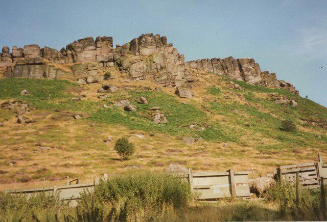 Photo could not load
SK0061 : Hen Cloud
Stephen Craven
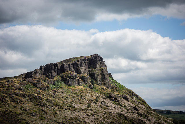 Photo could not load
SK0061 : Hens Cloud, The Roaches
Brian Deegan
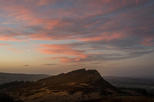 Photo could not load
SK0061 : Hens Cloud and Moon (Sunrise), Roaches
Brian Deegan
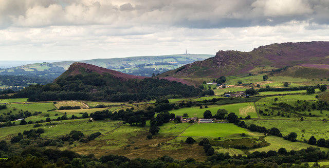 Photo could not load
SK0061 : Hen Cloud
Peter McDermott
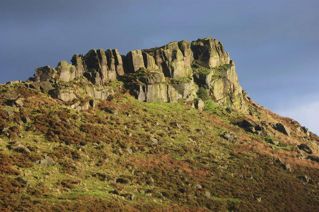 Photo could not load
SK0061 : Hen Cloud
Simon Mortimer
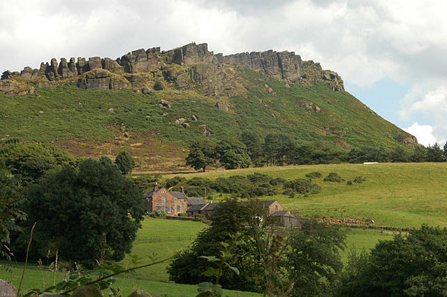 Photo could not load
SK0061 : Windygates & Hen Cloud
Row17
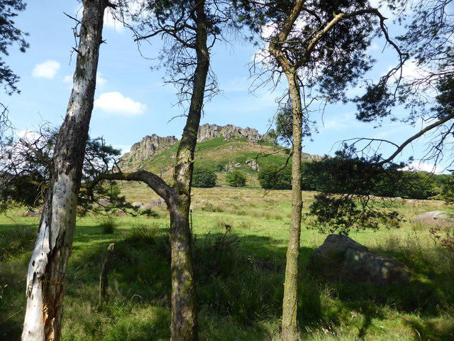 Photo could not load
SK0061 : The Roaches
Bob Harvey
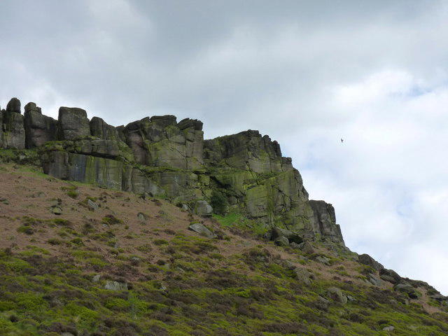 Photo could not load
SK0061 : Hen Cloud - the main buttress from below
Richard Law
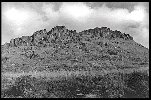 Photo could not load
SK0061 : Hen Cloud
Neil Owen
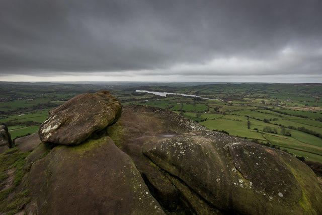
SK0061 : Summit of Hens Cloud, Looking towards Tittersworth
Brian Deegan
Hill facts and local notes
Classifications
Elevation
410m
1,345 ft
Prominence
61m
Coordinates
53.1513, -1.9887
SK008615
OS Map
119
Explorer: OL24W
At the Summit
The summit features a small cairn and provides ample rocky outcrops to take in the magnificent views.
Terrain & Geology
Hen Cloud is primarily composed of gritstone, which has resulted from the accumulation and compression of sand during the Carboniferous period. This rugged geology contributes to its steep cliffs and dramatic appearance.
Views & Scenery
From the summit, you can see the vast expanse of the Peak District, including the rolling hills of the surrounding area and the distant silhouette of other peaks.
History & Heritage
Name Origin
The name 'Hen Cloud' is believed to derive from the Old English word 'hen', meaning 'high', combined with 'cloud', suggesting a high place often surrounded by mist.
Historical Significance
Hen Cloud is a significant climbing destination, known for its unique gritstone rock formations that attract climbers of all abilities.
Getting There & Facilities
Parking
There is a designated car park at SK007618, just a short walk from the foot of the hill.
Public Transport
The closest railway station is in Leek, from which there are local bus services to the vicinity of the Peak District.
Nearby Facilities
There are no facilities directly on Hen Cloud, but Leek offers cafes, shops, and public toilets.
Safety Information
Known Hazards
- The ascent can be steep and rocky, so proper footwear should be worn. Beware of loose stones on the paths.
General Safety Tips
- Check weather conditions before setting out
- Carry appropriate clothing and equipment
- Let someone know your planned route
- Take a map, compass, and GPS device
- Carry emergency supplies: food, water, first aid kit, torch
Hills
Some common questions about the hills answered
Are there group walks up Hen Cloud?
Many walkers use Walkmates to join or organise walks with others. You can check for group walks around Hen Cloud through the maps
Are there other walkers around Hen Cloud?
Activity varies by location and time, but Walkmates lets you see whether others have shared walks or shown interest in this area. Find other people through the walking friends search walking friends for Hen Cloud search or of course create your own walk for Hen Cloud
Can I organise a walk to Hen Cloud?
Yes. If there aren’t any walks listed already, you can create a walk and make it available for others to join.
If you're signed up to Walkmates, you can create a walk to Hen Cloud.
How do I find a walk up this hill?
There are often multiple ways to walk this hill, depending on experience and route preference. Walkmates helps you explore walks and routes that others have shared.
Can I suggest a new route up Hen Cloud?
Yes. You can suggest or create routes to share with others. Walkmates focuses on the social side of walking, so routes are used to help people organise walks and explore areas together, rather than as detailed navigation tools or route libraries.
Other uses really appreciate knowledgeable walkers sharing their routes. Share your favourite route to Hen Cloud here
The is an error or something incorrect about this hill. How do I let you know?
We always strive to keep the information on Walkmates as accurate as possible. If you find an error, please let us know through the contact form and we'll aim to correct it as quickly as possible
Community Discussion
Comments
Location
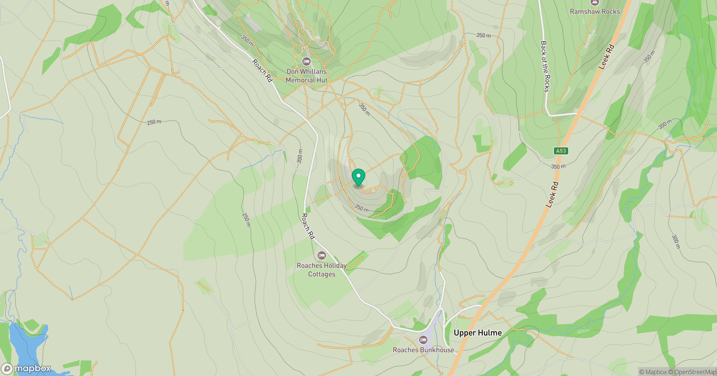
Grid reference: SK008615
View on OpenStreetMapOpens a map in a new tab, centred on the hill.
Nearby Hills
The Roaches
505m

Kinder Scout
636m
Winter Hill
456m

The Wrekin
407m
Rombalds Moor [Ilkley Moor]
402m
No comments yet. Be the first.