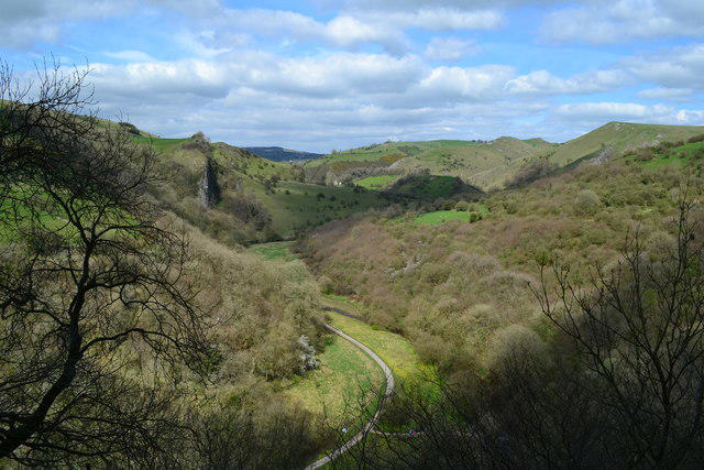
Walk the full Manifold Way through the limestone valleys between Hulme End and Waterhouses. The surfaced former railway winds past woodland, riverside scenery and the cliffs around Wetton, before following the Hamps valley to the old station at Waterhouses. Most of the route is gentle, but it is a long one-way walk. Some stretches share narrow roads with vehicles, including Swainsley Tunnel, so stay alert and carry a light. The steep climb to Thor’s Cave is not included. Arrange a lift or other verified return before you start.
Start and parking: Begin beside the former station at Hulme End visitor-centre car park, SK17 0EZ, at 53.1307793, -1.8477634. The start is inside the visitor area and does not require a B5054 crossing. Hulme End has coin-only pay-and-display parking; exact tariff and gate hours were not verified. Finish on the public old-station car-park access at Waterhouses, grid reference SK085502; current parking terms there were not confirmed.
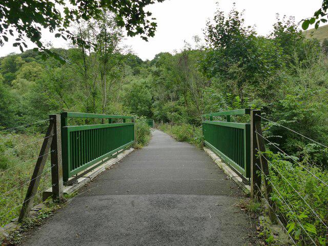
Route: Follow the surfaced Manifold Way, also called the Manifold Track, along the former Leek and Manifold Light Railway. Continue through Ecton, Swainsley Tunnel and Wetton Mill, then keep to the valley-floor route and its genuine river bridges towards Waterhouses. The steep climb to Thor’s Cave, Ecton Hill and the longer Manifold Trail are not part of this walk.
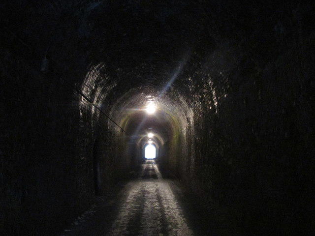
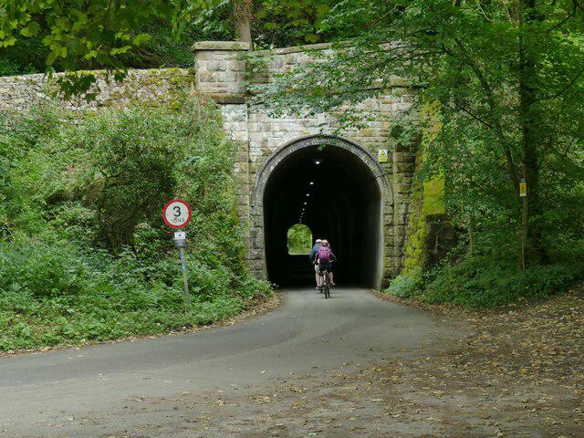
Traffic and tunnel warning: Parts of the route share narrow roads with vehicles. Swainsley Tunnel is a shared single-track road tunnel. Carry a light, stay visible and watch for traffic; do not rely on the tunnel lights working. Take care at the Ecton lane crossing and the Waterhouses road crossing. Use the existing cycleway connector to the old-station car park rather than the A523 carriageway.
Access and facilities: Although mostly surfaced and gentle, the route has gates, cycle barriers, road crossings and uneven patches. No unrestricted wheelchair or pushchair access is promised. Keep dogs on leads and give cyclists and horses space. Toilets are listed at Hulme End, Wetton Mill and Waterhouses, subject to opening; facilities may involve short unplotted detours. No fires or barbecues.
Distance and return: The full mapped route with the car-park connector is 13.398 km, consistent with rounded official figures of 8–8.5 miles. Allow about 3.5–4.5 hours walking plus breaks. Arrange a lift or independently verified return transport before starting; a full walk back would be about 26.8 km.
Access check: Staffordshire County Council reported Dayhole Bridge reopened on 31 October 2025. The National Park temporary-closures page, rechecked on 23 October 2026, did not list a Manifold route closure. This is desk research, not a field inspection, flood-level check or guarantee that every gate, bridge and tunnel is open. Check current notices before walking.
Route and visitor sources:
https://www.peakdistrict.gov.uk/visiting/places-to-visit/trails/manifold
https://www.staffsmoorlands.gov.uk/media/6706/Manifold-Valley/pdf/Manifold_Valley_accessible_for_website.pdf
https://www.staffordshire.gov.uk/newsroom/2025/bridge-refurbishment-manifold-valley-completed
https://www.peakdistrict.gov.uk/__data/assets/pdf_file/0018/104814/PDNPA-Byelaws-Car-Parks-2024.pdf
https://www.peakdistrict.gov.uk/visiting/places-to-visit/temporary-closures
Route geometry: © OpenStreetMap contributors, licensed under ODbL 1.0. https://www.openstreetmap.org/copyright
https://opendatacommons.org/licenses/odbl/1-0/
Original listing prose; geometry is an exact original-node itinerary.