

Great Coum
Good walks are even better shared.
SD6983 : Puddly moorland above The Crag
Bill Boaden Photo source
Explore routes near Great Coum
Walks starting near this hill. Open a route to check its map, distance and full itinerary.
Ingleton Waterfalls Walk
View route
Ingleborough from Clapham
View route
Pen-y-ghent from Horton in Ribbonsdale
View route
Sizergh: Park End Moss and Brigsteer Park Wood Circuit
View route
Route planning notes
These notes describe possible approaches. Check a route's map and access information when planning your walk.
From the Village of Ravenstonedale
A scenic route that begins in the picturesque village of Ravenstonedale, leading through fields and ascending rocky paths.
Make a day of it, together
Find someone to share the walk with, or organise a day out along a route you like.
Photo Gallery
View all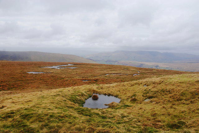 Photo could not load
SD6983 : Puddly moorland above The Crag
Bill Boaden
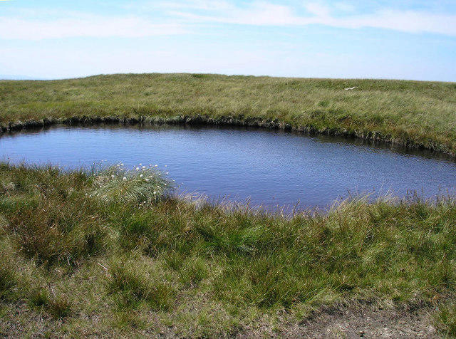 Photo could not load
SD7083 : Tarn on Great Coum
John Illingworth
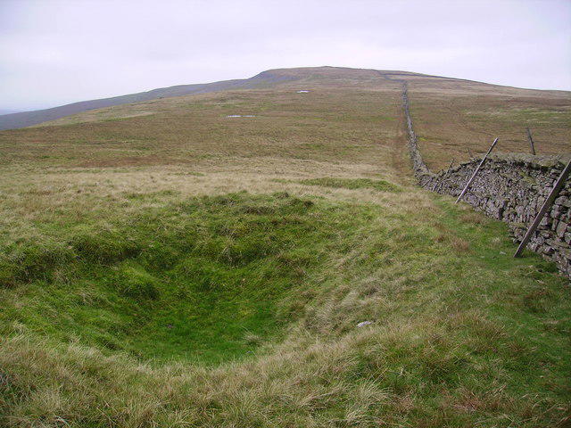 Photo could not load
SD7083 : Sink Hole Great Coum
Michael Graham
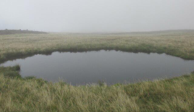 Photo could not load
SD7083 : Small tarn on Great Coum
steven ruffles
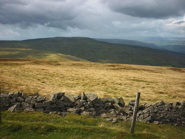 Photo could not load
SD7083 : Dark clouds over Great Coum
Karl and Ali
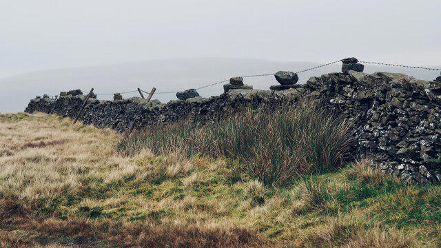 Photo could not load
SD7083 : Unusual method of attaching single strand of barbed wire to top of dry-stone wall
Mick Garratt
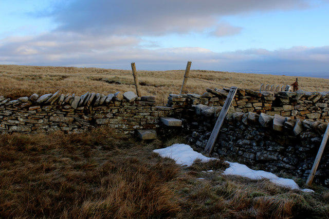 Photo could not load
SD7083 : Wall Junction on Great Coum
Chris Heaton
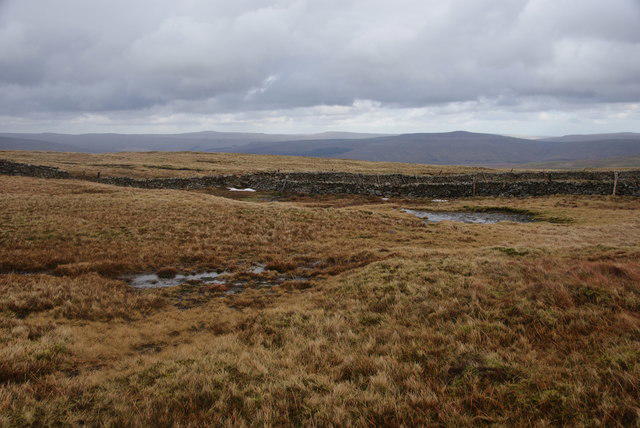 Photo could not load
SD7083 : The summit plateau of Great Coum
Bill Boaden
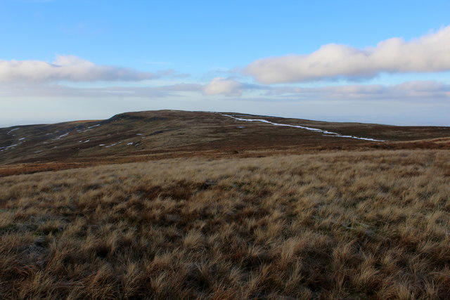 Photo could not load
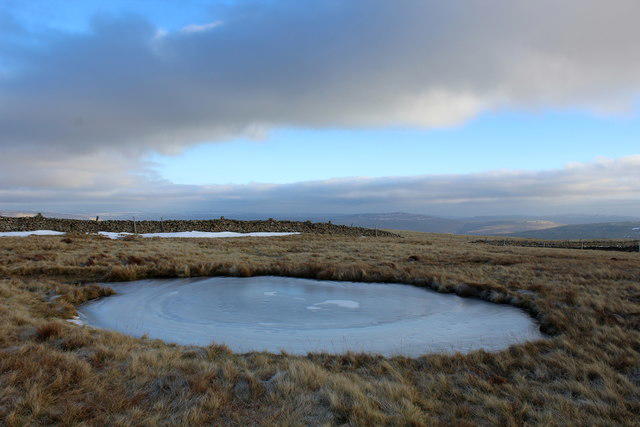
SD7083 : View towards Crag Hill from Great Coum
Chris Heaton
SD7083 : Summit Plateau of Great Coum
Chris Heaton
Hill facts and local notes
Classifications
Elevation
686m
2,252 ft
Prominence
219m
Coordinates
54.2471, -2.4606
SD700835
OS Map
98
Explorer: OL2W
At the Summit
The summit features a large stone cairn and a trig point offering stunning panoramic views of the surrounding Dales.
Terrain & Geology
Great Coum is primarily composed of limestone, with its rugged cliffs and crags showcasing impressive karst features, including pot holes and swallow holes
Views & Scenery
From the summit, one can see the majestic peaks of the Howgills and the sprawling valleys of the Yorkshire Dales. On clear days, the Lake District can be glimpsed to the northwest.
History & Heritage
Name Origin
The name 'Coum' derives from the Old Norse word 'kom', meaning a hollow or valley, fitting given the landscape of the area.
Historical Significance
Great Coum has been a popular hiking destination for generations, steeped in local folklore and history, offering a glimpse into the region's rich cultural heritage.
Getting There & Facilities
Parking
Parking is available at the village of Ravenstonedale, with a small car park just off the main road (SD693838).
Public Transport
Buses frequently run to Ravenstonedale from Kirkby Stephen, making it accessible for those without a car.
Nearby Facilities
The village of Ravenstonedale has a charming local pub that serves food and drink, alongside some basic facilities in the village.
Safety Information
Known Hazards
- Weather conditions can change rapidly; be prepared with appropriate clothing. Steep sections may be slippery when wet.
General Safety Tips
- Check weather conditions before setting out
- Carry appropriate clothing and equipment
- Let someone know your planned route
- Take a map, compass, and GPS device
- Carry emergency supplies: food, water, first aid kit, torch
Hills
Some common questions about the hills answered
Are there group walks up Great Coum?
Many walkers use Walkmates to join or organise walks with others. You can check for group walks around Great Coum through the maps
Are there other walkers around Great Coum?
Activity varies by location and time, but Walkmates lets you see whether others have shared walks or shown interest in this area. Find other people through the walking friends search walking friends for Great Coum search or of course create your own walk for Great Coum
Can I organise a walk to Great Coum?
Yes. If there aren’t any walks listed already, you can create a walk and make it available for others to join.
If you're signed up to Walkmates, you can create a walk to Great Coum.
How do I find a walk up this hill?
There are often multiple ways to walk this hill, depending on experience and route preference. Walkmates helps you explore walks and routes that others have shared.
Can I suggest a new route up Great Coum?
Yes. You can suggest or create routes to share with others. Walkmates focuses on the social side of walking, so routes are used to help people organise walks and explore areas together, rather than as detailed navigation tools or route libraries.
Other uses really appreciate knowledgeable walkers sharing their routes. Share your favourite route to Great Coum here
The is an error or something incorrect about this hill. How do I let you know?
We always strive to keep the information on Walkmates as accurate as possible. If you find an error, please let us know through the contact form and we'll aim to correct it as quickly as possible
Community Discussion
Comments
Location
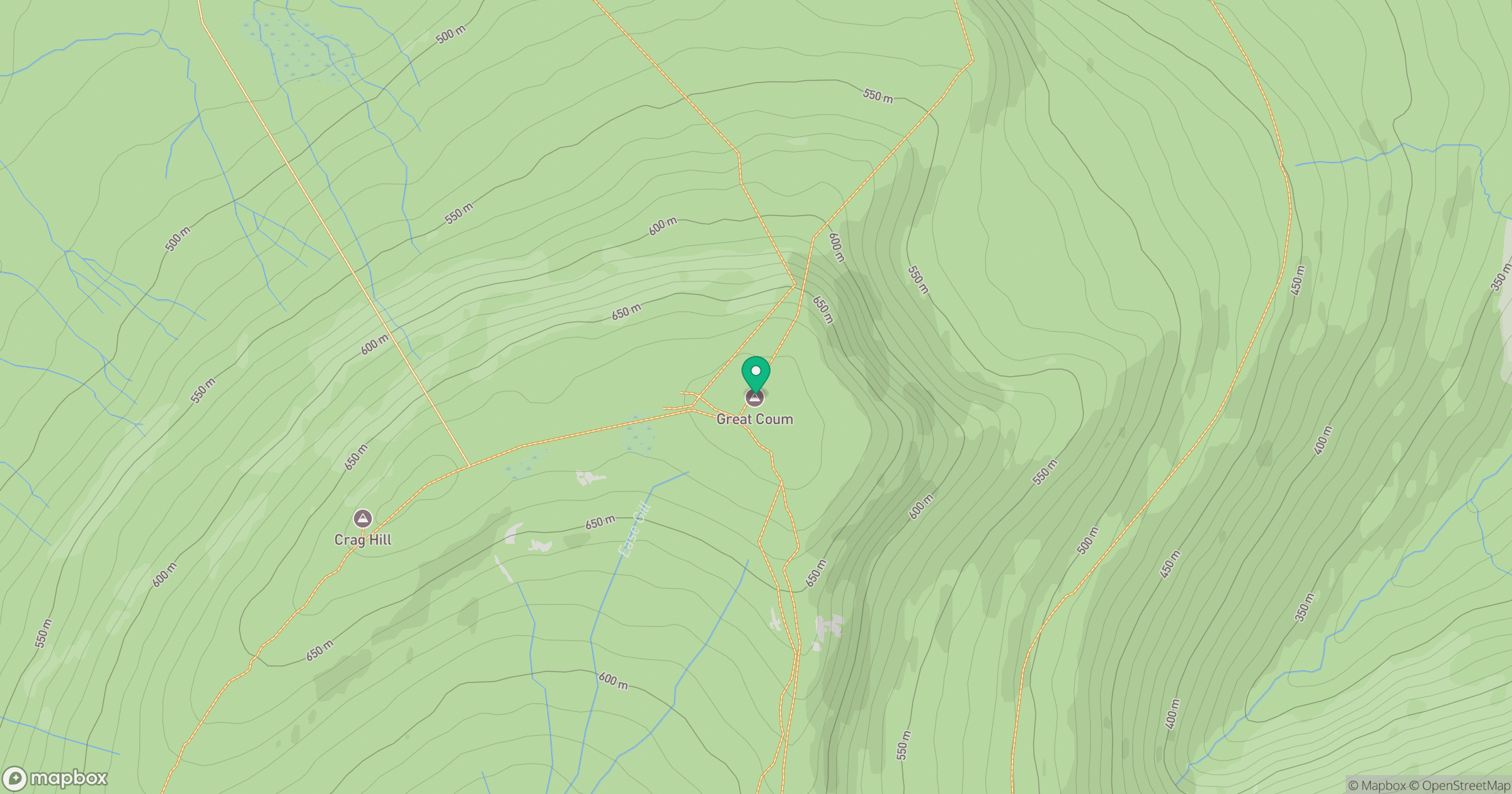
Grid reference: SD700835
View on OpenStreetMapOpens a map in a new tab, centred on the hill.



No comments yet. Be the first.