
Barbon Low Fell
Good walks are even better shared.
Overview
Barbon Low Fell: A Hiker's Gem in the Lake District
Barbon Low Fell is a delightful Marilyn located in the stunning Lake District, standing tall at 588 metres. Not to be outdone by its taller neighbours, it offers a perfectly sized adventure for hikers seeking both challenge and beauty.
Geology
This fell is primarily made of limestone and sandstone, which you can see in the rocky outcrops along the trails. The impact of glacial activity has shaped its form, revealing an intriguing landscape filled with unique geological features. If you enjoy geology, bring a hammer (just kidding, don’t do that!) and admire from a distance.
Routes
One of the best ways to reach the summit is via the route starting from Barbon village. This moderate trek covers about 5.5 km, taking roughly 2.5 hours and is lined with picturesque views of the lush green countryside. The path ebbs and flows gently at first, encouraging you to relax and soak in the surroundings before it beckons you upwards.
Summit Features
At the peak, you’ll find a small stone cairn and a trig point—perfect for a celebratory selfie! This flat area offers ample space for a picnic, so pack a sandwich or a cheeky chocolate bar and enjoy the vistas.
Terrain Type
Expect a mix of grassy patches and rocky outcroppings, with some steep inclines near the summit. Good hiking boots are essential unless you fancy a slip-and-slide adventure!
Views
From the summit, your efforts are rewarded with breathtaking views of the Yorkshire Dales and the nearby Lake District mountains. Spring and Autumn are particularly glorious times to visit, as the landscape comes alive with vibrant colours.
Hazards
As with all outdoor adventures, be cautious of slippery rocks post-rainfall and the uneven ground. A good pair of boots can save you from a less-than-graceful tumble.
Nearby Summits
If Barbon Low Fell tickles your fancy, consider bagging Barbon High Fell or even Calf Top, both offering stunning views and varied terrain.
Access
Getting there is a breeze! Park in the quaint Barbon village, where you’ll find limited roadside parking. For those favouring public transport, a bus from Kendal will drop you nearby, but check the schedules so you don’t end up waiting around like a lost tourist!
Facilities
Once you've scaled the fell, fuel your adventure with a hearty meal at one of Barbon’s cozy cafés or pubs. Freshen up at the public toilets near the village green before heading on your next escapade.
Conclusion
In summary, Barbon Low Fell is a splendid outing for families and seasoned hikers alike, providing a splendid mix of challenge and charm. So lace up your hiking boots, pack a picnic, and set off into the beauty that is the Lake District! Happy hiking!
Explore routes near Barbon Low Fell
Public walks starting within 80 km of this hill. Nearby does not mean a route reaches the summit; check its map and access before setting out.
Ingleton Waterfalls Walk
View route
Ingleborough from Clapham
View route
Sizergh: Park End Moss and Brigsteer Park Wood Circuit
View route
Kendal family night walk and stargaze
View route
Route planning notes
These notes describe possible approaches, not verified navigable routes or permission to cross land. Check current paths, local access rules and conditions before setting out.
Barbon Village to Summit
A scenic route starting from Barbon village trails through lush pastures and heather-clad slopes, leading up to the summit with panoramic views.
Make a day of it, together
Find someone to share the walk with, or organise a day out along a route you like.
Photo Gallery
View all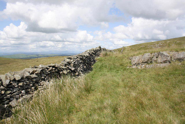 Photo could not load
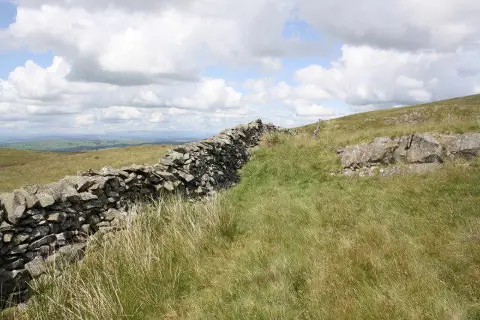
SD6580 : Dry stone wall on Brownthwaite Moss
Roger Templeman
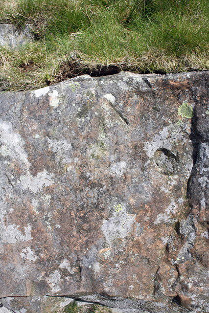 Photo could not load
SD6580 : Benchmark on rock 418m above sea level on Brownthwaite Moss
Roger Templeman
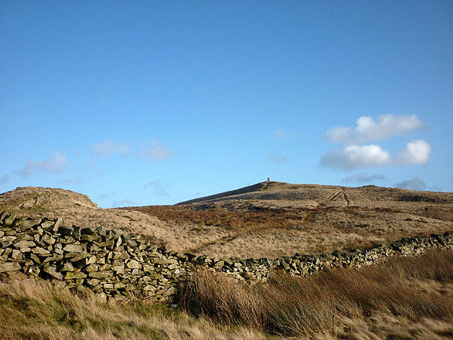 Photo could not load
SD6480 : Wall on Brownthwaite Moss
Karl and Ali
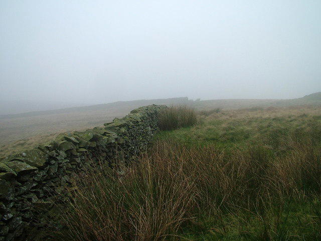 Photo could not load
SD6480 : Wall on Brownthwaite Fell
David Brown
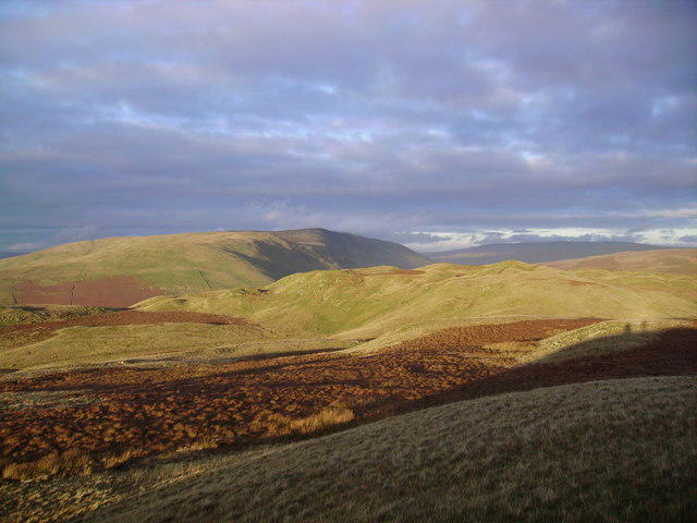 Photo could not load
SD6580 : From Brownthwaite
Michael Graham
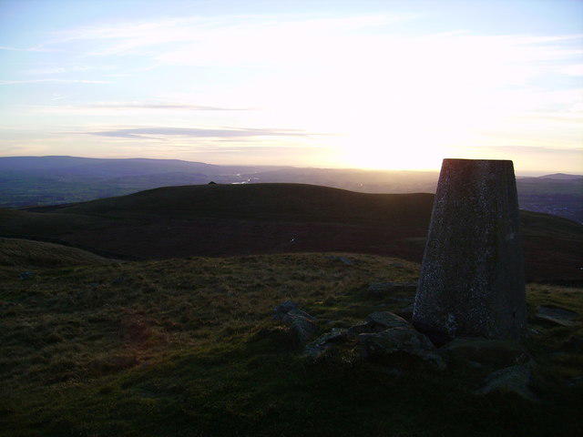 Photo could not load
SD6580 : Trig Pillar Brownthwaite
Michael Graham
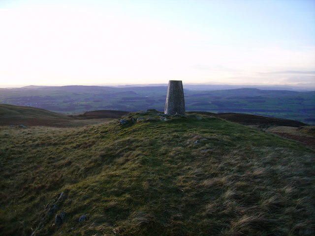 Photo could not load
SD6580 : Trig Pillar, Brownthwaite
Michael Graham
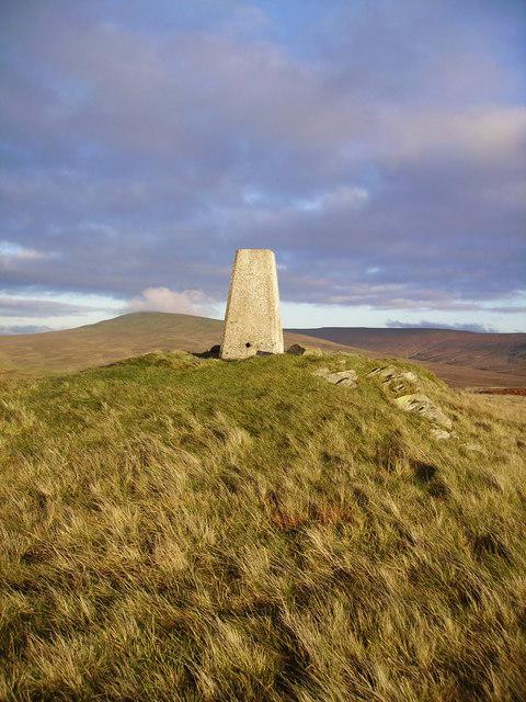 Photo could not load
SD6580 : Trig Pillar, Barbon Low Fell
Michael Graham
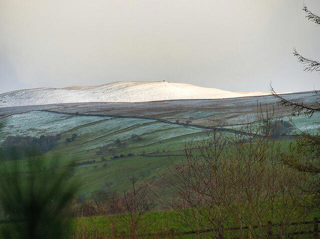 Photo could not load
SD6580 : Snow on the Fells
David Dixon
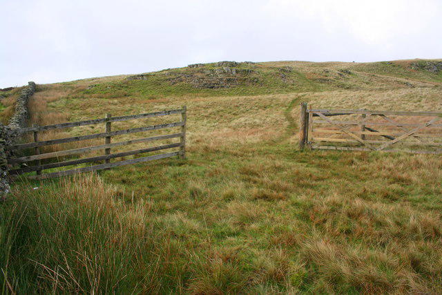
SD6580 : Gateway on Brownthwaite Moss
Roger Templeman
Hill facts and local notes
Classifications
Elevation
438m
1,437 ft
Prominence
133m
Coordinates
54.2221, -2.5372
SD650808
OS Map
97
Explorer: OL2W
At the Summit
The summit boasts a small stone cairn and a trig point for the avid summit bagger. The surrounding area is relatively flat, providing ample space for a scenic picnic.
Terrain & Geology
Barbon Low Fell is primarily composed of limestone and sandstone, giving it a rugged yet picturesque appearance. The upper reaches show signs of glacial erosion, with numerous boulders strewn across the landscape.
Views & Scenery
Stunning vistas of the surrounding fells, including the Yorkshire Dales and the distant mountains of the Lake District. On a clear day, one can see as far as Morecambe Bay.
History & Heritage
Name Origin
The name Barbon derives from the Old Norse, meaning 'the hill by the brook'.
Historical Significance
Barbon Low Fell has historically been part of the local agricultural landscape, and it features in many local walks and guides, cherished by hikers.
Getting There & Facilities
Check current local access restrictions, parking rules and transport timetables before travelling. These notes do not confirm public access to the summit.
Parking
There is roadside parking available in Barbon village, with a small car park near the church. Ensure you park considerately.
Public Transport
The nearest bus service runs from Kendal to Barbon, with limited timings. Plan ahead to avoid waiting during the off-peak hours.
Nearby Facilities
There are small village amenities in Barbon, including a café and a pub. Public toilets are available near the village green.
Safety Information
Known Hazards
- Beware of slippery rocks, especially after rainfall. The terrain can be uneven, so sturdy footwear is recommended.
General Safety Tips
- Check weather conditions before setting out
- Carry appropriate clothing and equipment
- Let someone know your planned route
- Take a map, compass, and GPS device
- Carry emergency supplies: food, water, first aid kit, torch
Hills
Some common questions about the hills answered
Are there group walks up Barbon Low Fell?
Many walkers use Walkmates to join or organise walks with others. You can check for group walks around Barbon Low Fell through the maps
Are there other walkers around Barbon Low Fell?
Activity varies by location and time, but Walkmates lets you see whether others have shared walks or shown interest in this area. Find other people through the walking friends search walking friends for Barbon Low Fell search or of course create your own walk for Barbon Low Fell
Can I organise a walk to Barbon Low Fell?
Yes. If there aren’t any walks listed already, you can create a walk and make it available for others to join.
If you're signed up to Walkmates, you can create a walk to Barbon Low Fell.
How do I find a walk up this hill?
There are often multiple ways to walk this hill, depending on experience and route preference. Walkmates helps you explore walks and routes that others have shared.
Can I suggest a new route up Barbon Low Fell?
Yes. You can suggest or create routes to share with others. Walkmates focuses on the social side of walking, so routes are used to help people organise walks and explore areas together, rather than as detailed navigation tools or route libraries.
Other uses really appreciate knowledgeable walkers sharing their routes. Share your favourite route to Barbon Low Fell here
The is an error or something incorrect about this hill. How do I let you know?
We always strive to keep the information on Walkmates as accurate as possible. If you find an error, please let us know through the contact form and we'll aim to correct it as quickly as possible
Community Discussion
Comments
Location
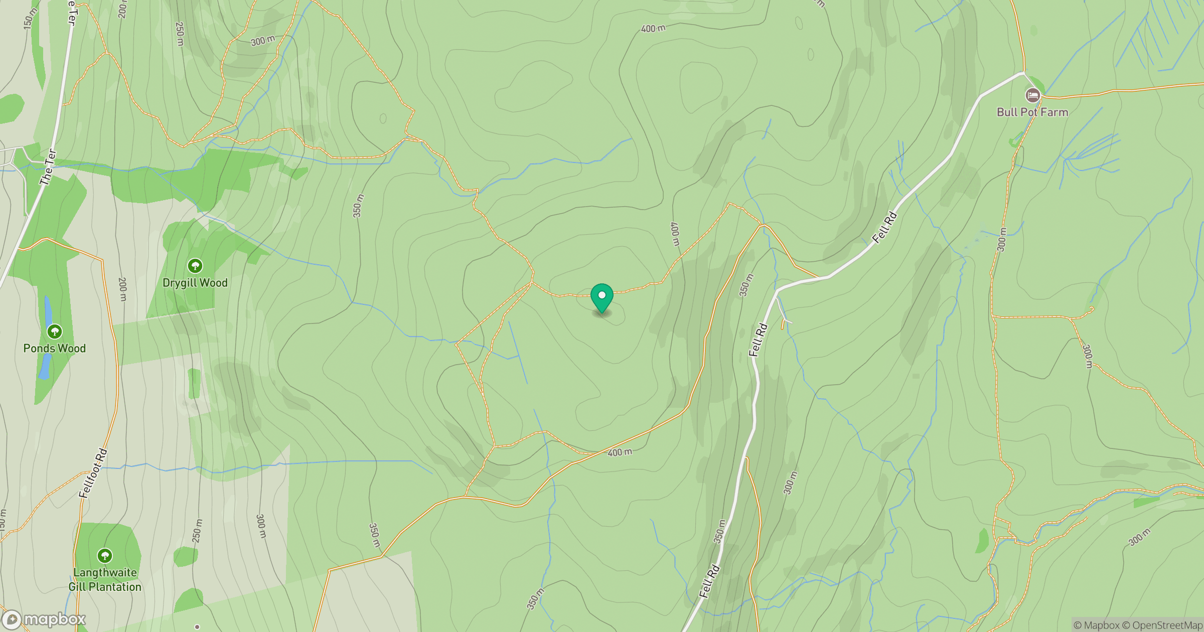
Grid reference: SD650808
View on OpenStreetMapOpens a map in a new tab, centred on the hill.
Hills within 30 km
Straight-line distance, not a walking route or confirmation of access.
No comments yet. Be the first.