

Fremington Edge
Good walks are even better shared.
NZ0301 : Pile of stones above Arkengarthdale
David Robinson Photo source
Overview
Fremington Edge: A Hiker's Paradise
Fremington Edge, standing proudly at 343 meters above sea level, is a delightful Marilyn located within the stunning Yorkshire Dales. With a relatively modest prominence of 56 meters, this peak may not be the tallest in the range, but it certainly makes up for it with character and views that are nothing short of breathtaking.
Geology
Fremington Edge showcases the unique geology of the Yorkshire Dales, predominantly made up of limestone. This noble rock has formed impressive crags, with fascinating karst features carved over millennia. As you hike, you’ll notice dry stone walls that rhyme with the rustic charm of the area, a testament to historical land use and wildlife habitat.
Routes
The most popular route is the Fremington Edge Loop, a rewarding 7.5 km trek starting from the village of Reeth. This moderate hike typically takes around 2.5 hours, but allowing extra time for photo opportunities is highly recommended—your Instagram followers will thank you!
Summit Features
Upon reaching the top, you’ll be greeted by a rocky outcrop capped with a traditional cairn. Trust me; it makes for the perfect backdrop to announce your conquest to fellow hikers in a 'look at me, I’m on top of the world' moment.
Terrain
Expect mostly grassy trails, interspersed with rocky sections and the occasional mud pit that tries to claim unsuspecting hikers' boots. It’s good practice to bring a trusty walking stick if you're feeling a bit unsteady on your feet.
Views
The views from the summit are simply spectacular. You'll have the chance to feast your eyes on the rolling hills of Swaledale, the majestic Upper Wensleydale, and the iconic Penyghent. For those who enjoy a good scenic view, the best times to go are in spring or autumn when the colours come alive.
Hazards
While the hike is generally safe, be mindful of slippery sections, especially after rain. Yorkshire weather can also be a bit cheeky, so be prepared for sudden changes—like a surprise early rain that leaves you looking like a soggy biscuit.
Nearby Summits
If you're keen on climbing more peaks, you’ll find great companions nearby such as Great Shunner Fell at 715 meters and Nine Standards Rigg at 663 meters.
Access
Parking can be found conveniently in Reeth, with local bus services connecting to Richmond and Leyburn. This quaint village also provides amenities like cafes and public toilets to ensure you're fuelled up.
History
Fremington translates to 'meeting place town', a fitting title for a spot where nature lovers gather. The area carries historical significance due to its lead mining past and offers a beauty that has been cherished by locals and visitors alike.
In conclusion, Fremington Edge is a delightful getaway for hikers looking to embrace the beauty of the Yorkshire Dales. Whether you're out for a challenge or a leisurely stroll, there’s something magical about every stride taken here.
Happy hiking!
Explore routes near Fremington Edge
Walks starting near this hill. Open a route to check its map, distance and full itinerary.
Richmond Yorkshire
View route
Barnard Castle: Flatts Wood and Cleveland Walk
View route
Buckden Pike Wellington Wreckage and Memorial
View route
Hamsterley Forest, Bedburn Beck and Crossfield Plantation
View route
Route planning notes
These notes describe possible approaches. Check a route's map and access information when planning your walk.
Fremington Edge Loop
A scenic loop starting from the village of Reeth, offering stunning views across the Dales.
Make a day of it, together
Find someone to share the walk with, or organise a day out along a route you like.
Photo Gallery
View all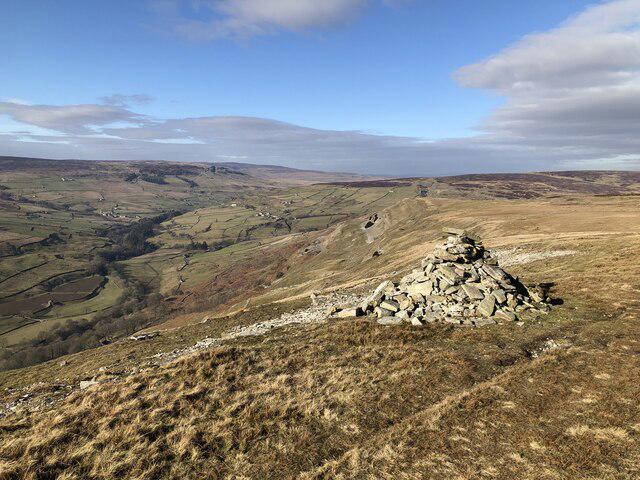 Photo could not load
NZ0301 : Pile of stones above Arkengarthdale
David Robinson
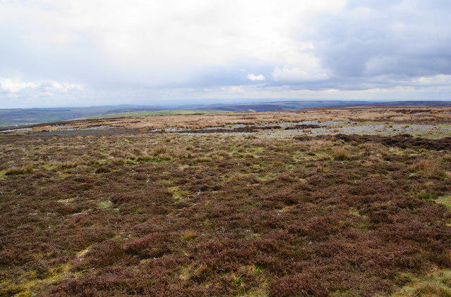 Photo could not load
NZ0301 : Open moorland on Fremington Edge
Bill Boaden
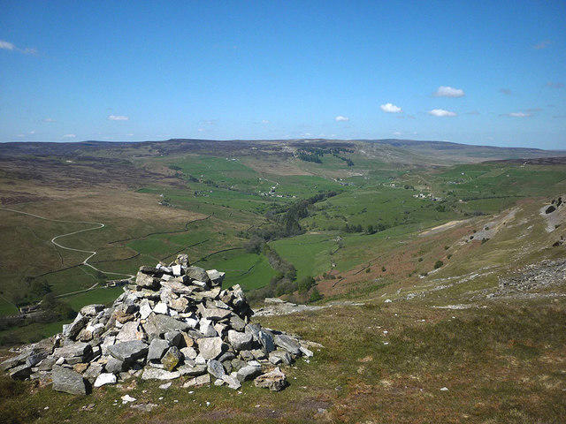 Photo could not load
NZ0301 : Pile of stone, Fremington Edge
Karl and Ali
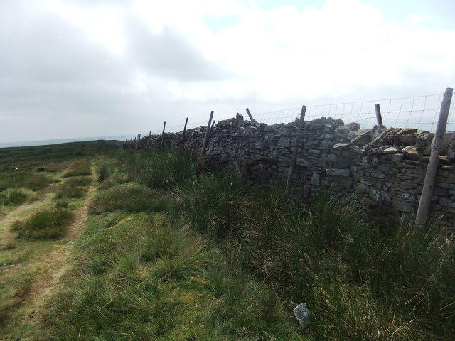 Photo could not load
NZ0301 : Wall on Fremington Edge top
David Brown
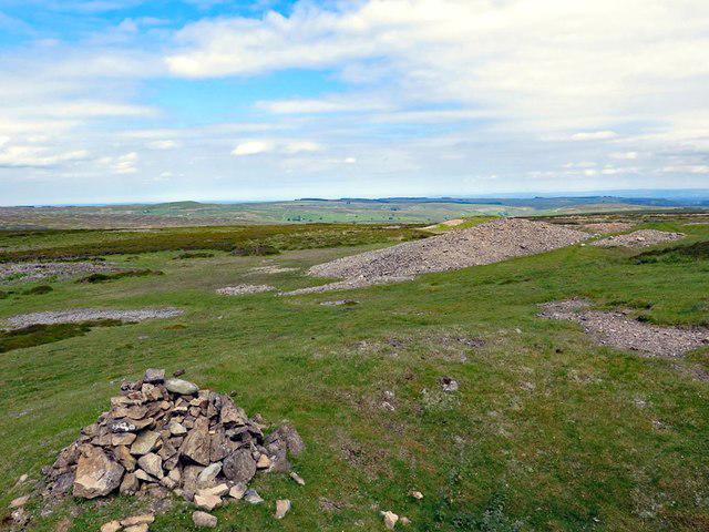 Photo could not load
NZ0301 : Remains of lead mining of Hind Rake Vein
Andrew Curtis
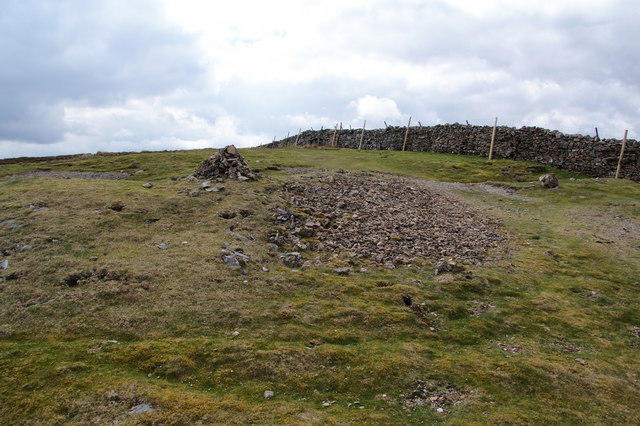 Photo could not load
NZ0301 : The highest point of Fremington Edge
Bill Boaden
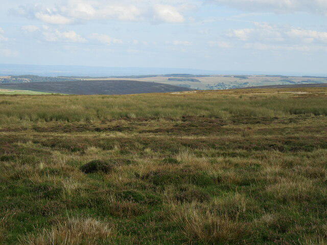 Photo could not load
NZ0301 : Fremington Edge Top
T Eyre
Hill facts and local notes
Classifications
Elevation
475m
1,558 ft
Prominence
39m
Coordinates
54.4122, -1.9504
NZ033018
OS Map
92
Explorer: OL30N
At the Summit
The summit features a rocky outcrop with a traditional cairn, perfect for resting and enjoying the vista. On a clear day, you might even feel like the king of the hill.
Terrain & Geology
Fremington Edge is predominantly composed of limestone, with impressive crags and cliffs that showcase a fascinating range of karst features. The eroded limestone creates distinctive scenery with dry stone walls and rich biodiversity.
Views & Scenery
Panoramic views of Swaledale, Upper Wensleydale, and the distinctive shape of Penyghent. Not to mention the impressive North Yorkshire Moors across the horizon.
History & Heritage
Name Origin
The name 'Fremington' is derived from 'Fram' meaning 'meeting place' and 'ton' meaning 'town'. So, it could be seen as the town where all the hills come together.
Historical Significance
Fremington Edge has historical significance due to its role in local lead mining and has been appreciated for generations for its scenic beauty.
Getting There & Facilities
Parking
Parking is available at Reeth, with a small car park adjacent to the village square. It's a short walk to the start of the loop trail.
Public Transport
Reeth is accessible by local bus services from nearby towns like Richmond and Leyburn.
Nearby Facilities
The village of Reeth offers several amenities including cafés, pubs, and public toilets to prepare you for your adventure.
Safety Information
Known Hazards
- Wear sturdy footwear, as rocky and slippery areas can be tricky, especially after rain. Be cautious of sudden weather changes in the Dales.
General Safety Tips
- Check weather conditions before setting out
- Carry appropriate clothing and equipment
- Let someone know your planned route
- Take a map, compass, and GPS device
- Carry emergency supplies: food, water, first aid kit, torch
Hills
Some common questions about the hills answered
Are there group walks up Fremington Edge?
Many walkers use Walkmates to join or organise walks with others. You can check for group walks around Fremington Edge through the maps
Are there other walkers around Fremington Edge?
Activity varies by location and time, but Walkmates lets you see whether others have shared walks or shown interest in this area. Find other people through the walking friends search walking friends for Fremington Edge search or of course create your own walk for Fremington Edge
Can I organise a walk to Fremington Edge?
Yes. If there aren’t any walks listed already, you can create a walk and make it available for others to join.
If you're signed up to Walkmates, you can create a walk to Fremington Edge.
How do I find a walk up this hill?
There are often multiple ways to walk this hill, depending on experience and route preference. Walkmates helps you explore walks and routes that others have shared.
Can I suggest a new route up Fremington Edge?
Yes. You can suggest or create routes to share with others. Walkmates focuses on the social side of walking, so routes are used to help people organise walks and explore areas together, rather than as detailed navigation tools or route libraries.
Other uses really appreciate knowledgeable walkers sharing their routes. Share your favourite route to Fremington Edge here
The is an error or something incorrect about this hill. How do I let you know?
We always strive to keep the information on Walkmates as accurate as possible. If you find an error, please let us know through the contact form and we'll aim to correct it as quickly as possible
Community Discussion
Comments
Location
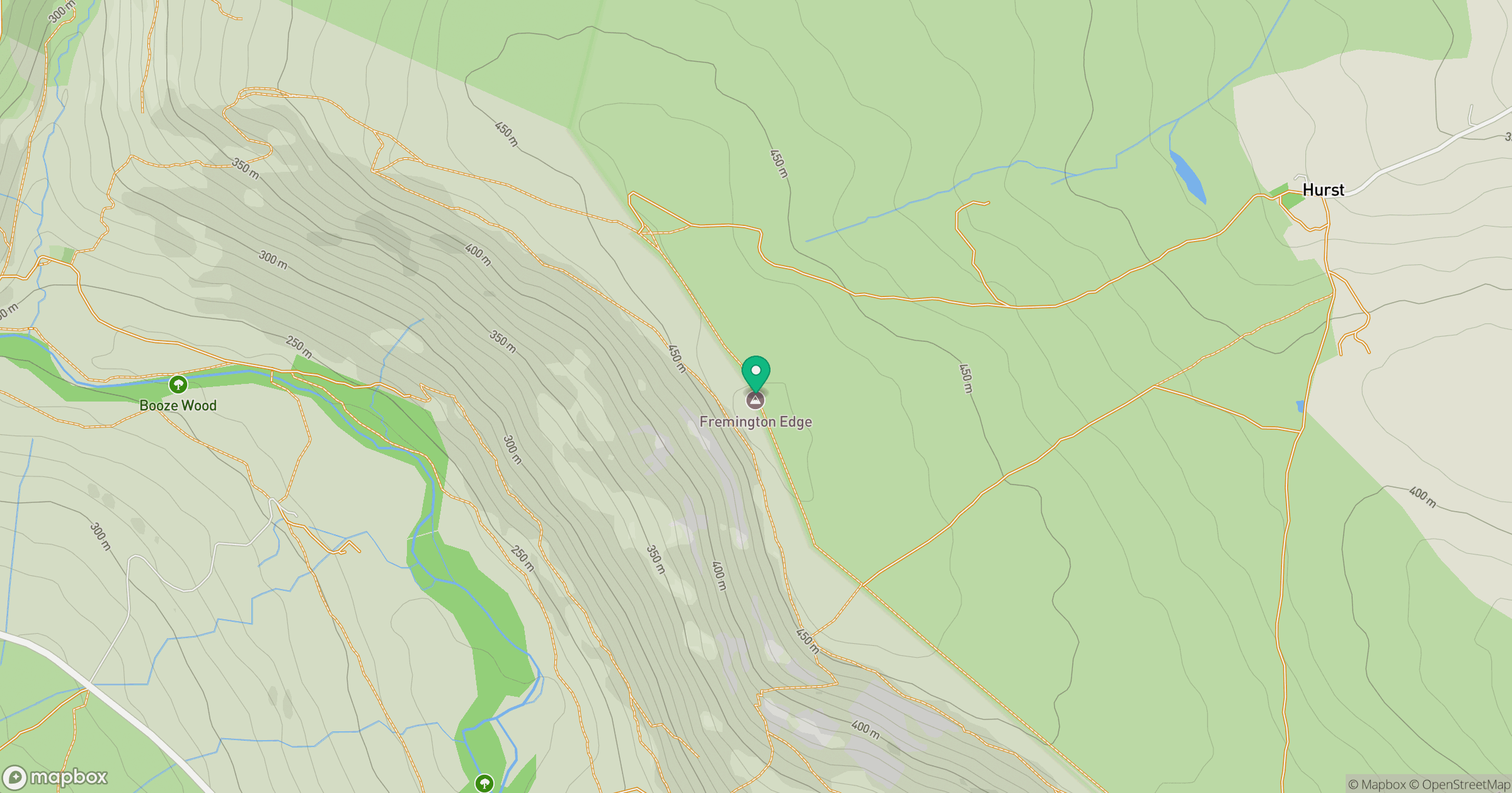
Grid reference: NZ033018
View on OpenStreetMapOpens a map in a new tab, centred on the hill.



No comments yet. Be the first.