

Dodd Fell Hill
Good walks are even better shared.
SD8484 : Dodd Fell summit plateau
Gordon Hatton Photo source
Explore routes near Dodd Fell Hill
Walks starting near this hill. Open a route to check its map, distance and full itinerary.
Pen-y-ghent from Horton in Ribbonsdale
View route
Buckden Pike Wellington Wreckage and Memorial
View route
Ingleborough from Clapham
View route
Ingleton Waterfalls Walk
View route
Route planning notes
These notes describe possible approaches. Check a route's map and access information when planning your walk.
Dodd Fell from Hawes
A delightful route starting from the quaint village of Hawes, leading you through lush valleys and alongside picturesque streams.
Circular Walk from Dodd Fell Hill Trailhead
This circular route offers a comprehensive exploration of Dodd Fell Hill and its surrounding areas, providing an engaging experience for every hiker.
Make a day of it, together
Find someone to share the walk with, or organise a day out along a route you like.
Photo Gallery
View all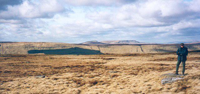 Photo could not load
SD8484 : Dodd Fell summit plateau
Gordon Hatton
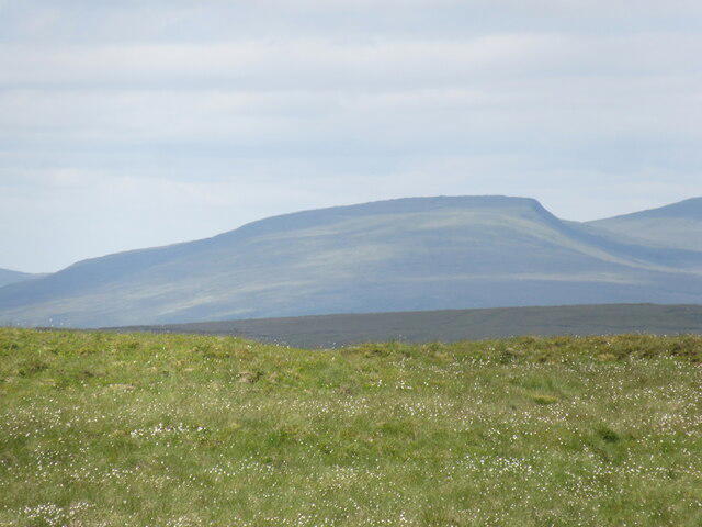 Photo could not load
SD8484 : Swarth Fell from Dodd Fell
T Eyre
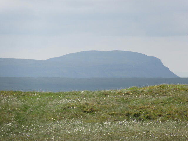 Photo could not load
SD8484 : Pen-y-ghent from Dodd Fell
T Eyre
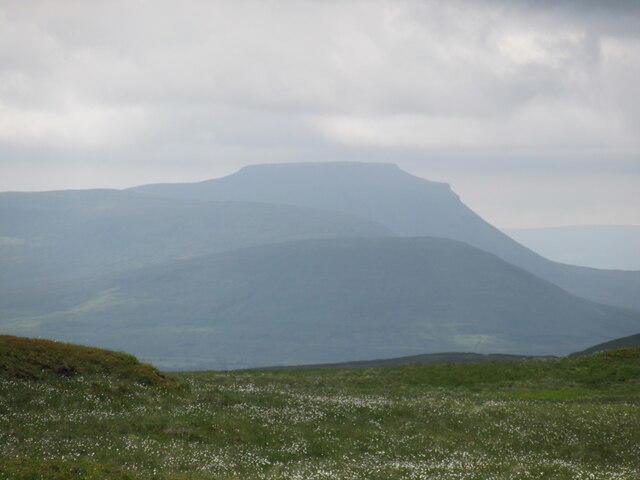 Photo could not load
SD8484 : Ingleborough from Dodd Fell
T Eyre
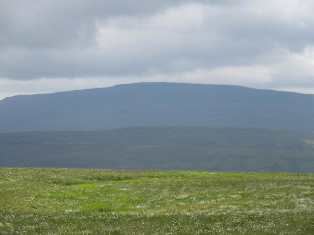 Photo could not load
SD8484 : Whernside from Dodd Fell
T Eyre
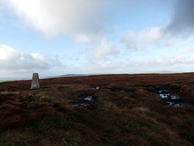 Photo could not load
SD8484 : Dodd Fell Hill
David Brown
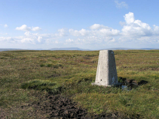 Photo could not load
SD8484 : Trig point of Dodd Fell Hill
Trevor Littlewood
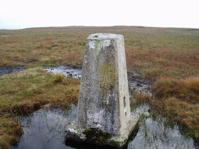 Photo could not load
SD8484 : Dodd Fell trig point.
Ray Woodcraft
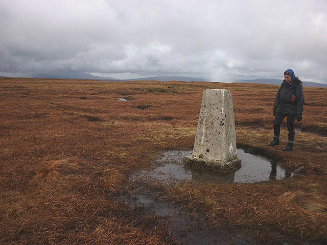 Photo could not load
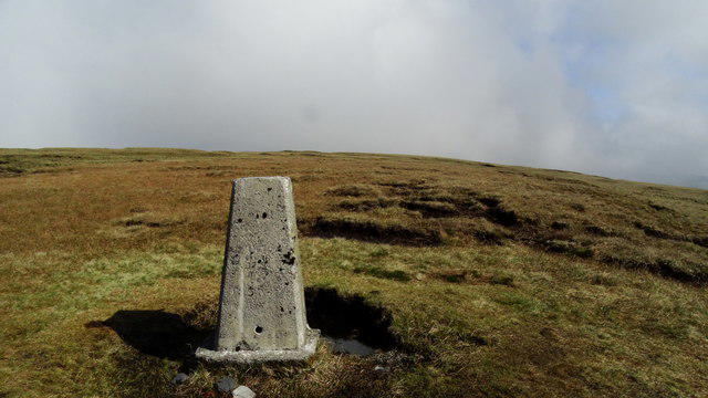
SD8484 : The summit of Dodd Fell (668m)
Karl and Ali
SD8484 : Trig Point on Dodd Fell Hill, Yorkshire Dales
Colin Park
Hill facts and local notes
Classifications
Elevation
668m
2,192 ft
Prominence
232m
Coordinates
54.2567, -2.2456
SD841845
OS Map
98
Explorer: OL2W OL30S
At the Summit
The summit is marked by a large and impressive trig point, which provides an excellent resting spot while you soak in the beautiful panoramic views. On a clear day, you might even see your house from up there – provided you live nearby, of course!
Terrain & Geology
Dodd Fell Hill is primarily composed of sedimentary rock, predominantly limestone and sandstone. This geological composition contributes to the area’s scenic beauty and provides numerous opportunities for rock climbing and other outdoor activities.
Views & Scenery
Spectacular views of the surrounding Yorkshire Dales, including remnants of ancient quarrying activities and the majestic peaks of the nearby Three Peaks.
History & Heritage
Name Origin
The name 'Dodd' is believed to derive from the Old Norse word for 'hill' or 'mound', reflecting its geographic prominence.
Historical Significance
Dodd Fell Hill has been a popular walking destination for centuries, with its historical paths once used by local farmers moving livestock.
Getting There & Facilities
Parking
There is a small car park at the base of Dodd Fell Hill, off the minor road connecting Hawes to the A684. Arrive early to grab a space during peak weekends.
Public Transport
Buses frequently run from nearby towns like Leyburn and Reeth to Hawes, making it a convenient option for non-drivers.
Nearby Facilities
Hawes offers various facilities including cafes, pubs, and public toilet facilities, ensuring you are well-prepared before your adventure.
Safety Information
Known Hazards
- Beware of sudden weather changes, especially in autumn and winter. The terrain can become slippery after rain; therefore, experienced hikers recommend sturdy footwear.
General Safety Tips
- Check weather conditions before setting out
- Carry appropriate clothing and equipment
- Let someone know your planned route
- Take a map, compass, and GPS device
- Carry emergency supplies: food, water, first aid kit, torch
Hills
Some common questions about the hills answered
Are there group walks up Dodd Fell Hill?
Many walkers use Walkmates to join or organise walks with others. You can check for group walks around Dodd Fell Hill through the maps
Are there other walkers around Dodd Fell Hill?
Activity varies by location and time, but Walkmates lets you see whether others have shared walks or shown interest in this area. Find other people through the walking friends search walking friends for Dodd Fell Hill search or of course create your own walk for Dodd Fell Hill
Can I organise a walk to Dodd Fell Hill?
Yes. If there aren’t any walks listed already, you can create a walk and make it available for others to join.
If you're signed up to Walkmates, you can create a walk to Dodd Fell Hill.
How do I find a walk up this hill?
There are often multiple ways to walk this hill, depending on experience and route preference. Walkmates helps you explore walks and routes that others have shared.
Can I suggest a new route up Dodd Fell Hill?
Yes. You can suggest or create routes to share with others. Walkmates focuses on the social side of walking, so routes are used to help people organise walks and explore areas together, rather than as detailed navigation tools or route libraries.
Other uses really appreciate knowledgeable walkers sharing their routes. Share your favourite route to Dodd Fell Hill here
The is an error or something incorrect about this hill. How do I let you know?
We always strive to keep the information on Walkmates as accurate as possible. If you find an error, please let us know through the contact form and we'll aim to correct it as quickly as possible
Community Discussion
Comments
Location
View the hill's mapped position and surrounding paths.
Grid reference: SD841845
View on OpenStreetMapOpens a map in a new tab, centred on the hill.



No comments yet. Be the first.