

Foel Fynyddau
Good walks are even better shared.
SS7893 : Gweddillion shimle / Chimney remains
Alan Richards Photo source
Explore routes near Foel Fynyddau
Walks starting near this hill. Open a route to check its map, distance and full itinerary.
Swansea Canal: Coed Gwilym Park to Pontardawe Aqueduct
View route
Swansea Clyne Valley Railway Walk: Blackpill to Dunvant
View route
Aircraft Crash Site - Wellington Bomber and Vampire Jet (Black mountains)
View route
Llanelli North Dock to Burry Port Harbour Coastal Walk
View route
Route planning notes
These notes describe possible approaches. Check a route's map and access information when planning your walk.
North Ridge Route
A scenic ascent from the small hamlet of Pentrefoelas, following a well-trodden path that offers stunning views along the way.
South Approach
Starting at the nearby road, this route gently meanders up to the summit, perfect for those wanting a leisurely hike.
Make a day of it, together
Find someone to share the walk with, or organise a day out along a route you like.
Photo Gallery
View all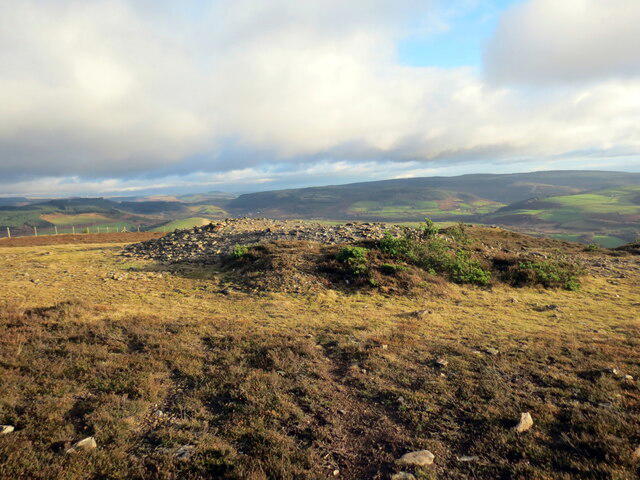 Photo could not load
SS7893 : Gweddillion shimle / Chimney remains
Alan Richards
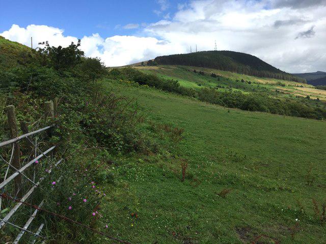 Photo could not load
SS7893 : View towards Foel Fynyddau
Alan Hughes
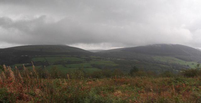 Photo could not load
SS7893 : Mynydd y Gaer and Mynydd Foel Fynyddau
Kevin Corcoran
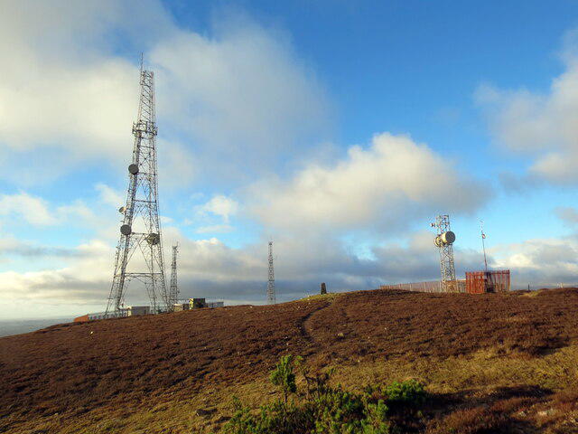 Photo could not load
SS7893 : Foel Fynyddau
Alan Richards
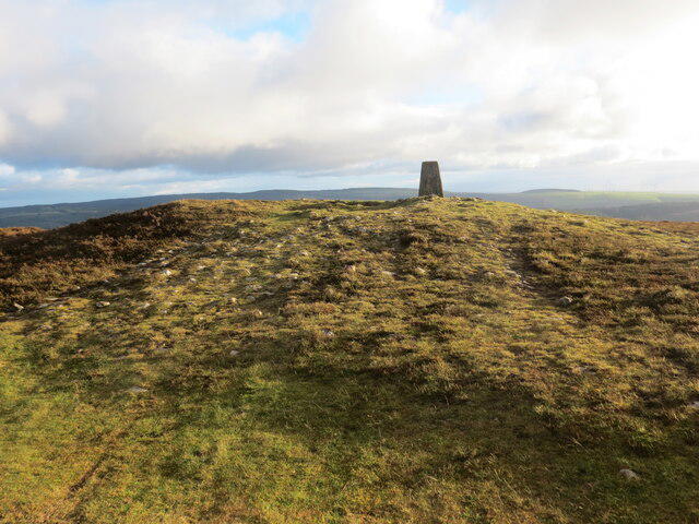 Photo could not load
SS7893 : Foel Fynyddau
Alan Richards
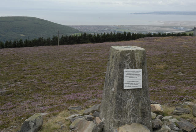 Photo could not load
SS7893 : Triangulation Pillar on Foel Fynyddau with Mumbles Head in the background
Cedwyn Davies
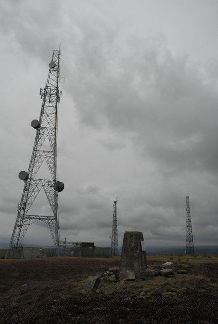 Photo could not load
SS7893 : Masts near Foel Fynyddau Triangulation Point.
Cedwyn Davies
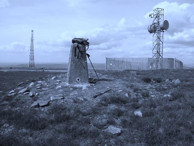 Photo could not load
SS7893 : Foel Fynyddau
Rude Health
Hill facts and local notes
Classifications
Elevation
370m
1,214 ft
Prominence
222m
Coordinates
51.6280, -3.7599
SS782936
OS Map
170
Explorer: 165
At the Summit
The summit features a small cairn and a lovely stone trig point, which provides a perfect photo opportunity for hikers eager to show off their achievement!
Terrain & Geology
Foel Fynyddau is primarily composed of volcanic and sedimentary rock, which gives rise to its rugged terrain. The area showcases some fascinating geological formations, including tuffs from past volcanic activity.
Views & Scenery
From the summit, hikers are treated to panoramic views of the Snowdonia range, including Snowdon itself and the expansive countryside beneath.
History & Heritage
Name Origin
The name 'Foel Fynyddau' translates to 'hill of the mountains,' which is quite fitting considering its lofty surroundings.
Historical Significance
The mountain carries historical significance as part of the ancient landscape of Wales, often mentioned in local folklore and legends.
Getting There & Facilities
Parking
Parking is available at the Pentrefoelas village hall, which is about a 15-minute walk from the North Ridge starting point.
Public Transport
Buses run infrequently from larger towns like Conwy and Llanrwst, so checking the schedule is a must. Alternatively, consider carpooling with fellow adventurers!
Nearby Facilities
The nearest facilities include a small café in Pentrefoelas, perfect for a warm drink and a slice of cake post-hike. Public toilets are available near the café.
Safety Information
Known Hazards
- Wet and slippery rocks, particularly after rainfall. An unsuspecting hiker could find themselves practicing their best impression of a tumbleweed.
General Safety Tips
- Check weather conditions before setting out
- Carry appropriate clothing and equipment
- Let someone know your planned route
- Take a map, compass, and GPS device
- Carry emergency supplies: food, water, first aid kit, torch
Hills
Some common questions about the hills answered
Are there group walks up Foel Fynyddau?
Many walkers use Walkmates to join or organise walks with others. You can check for group walks around Foel Fynyddau through the maps
Are there other walkers around Foel Fynyddau?
Activity varies by location and time, but Walkmates lets you see whether others have shared walks or shown interest in this area. Find other people through the walking friends search walking friends for Foel Fynyddau search or of course create your own walk for Foel Fynyddau
Can I organise a walk to Foel Fynyddau?
Yes. If there aren’t any walks listed already, you can create a walk and make it available for others to join.
If you're signed up to Walkmates, you can create a walk to Foel Fynyddau.
How do I find a walk up this hill?
There are often multiple ways to walk this hill, depending on experience and route preference. Walkmates helps you explore walks and routes that others have shared.
Can I suggest a new route up Foel Fynyddau?
Yes. You can suggest or create routes to share with others. Walkmates focuses on the social side of walking, so routes are used to help people organise walks and explore areas together, rather than as detailed navigation tools or route libraries.
Other uses really appreciate knowledgeable walkers sharing their routes. Share your favourite route to Foel Fynyddau here
The is an error or something incorrect about this hill. How do I let you know?
We always strive to keep the information on Walkmates as accurate as possible. If you find an error, please let us know through the contact form and we'll aim to correct it as quickly as possible
Community Discussion
Comments
Location
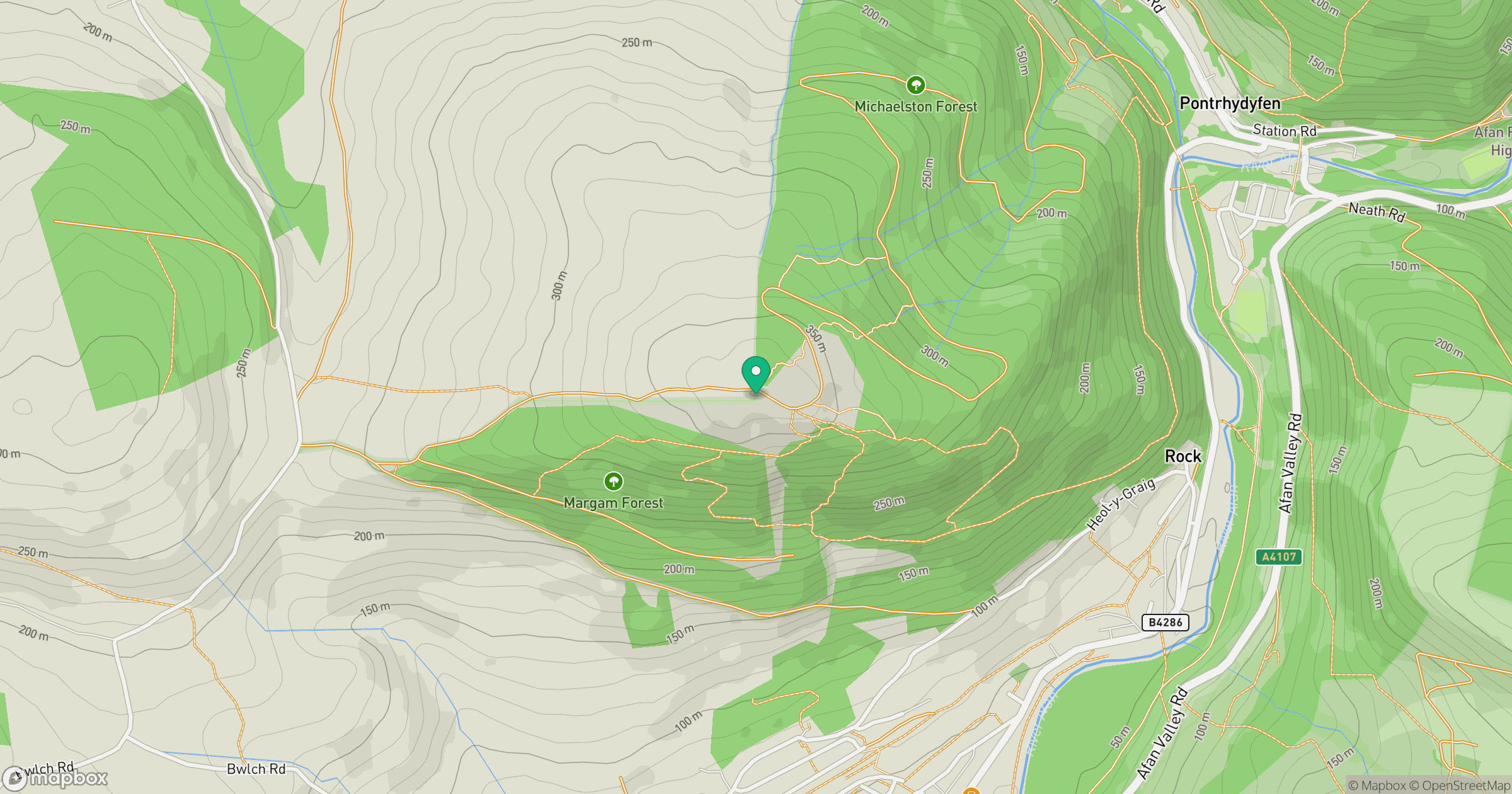
Grid reference: SS782936
View on OpenStreetMapOpens a map in a new tab, centred on the hill.



No comments yet. Be the first.