
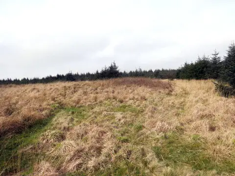
Mynydd Margam
Good walks are even better shared.
Overview
Mynydd Margam: A Hiking Gem in South Wales
Nestled in the heart of South Wales, Mynydd Margam stands at a respectable 501 meters, offering hikers a splendid blend of stunning scenery and intriguing history. Whether you’re a casual walker or a seasoned trekker, this Marilyn is well worth a visit!
Geology
Mynydd Margam is composed predominantly of limestone and sandstone. The mountain is noted for its unique karst landscapes, featuring intriguing rock formations that tell tales of past geological activities. Plus, remnants of historical quarrying provide a glimpse into the area’s industrious past.
Routes
Margam Country Park Route
Starting from the enchanting Margam Country Park, this moderate 6 km route is perfect for those looking to soak in nature without breaking a sweat too much. Expect a delightful mix of lush woodlands and open fields. All in all, a great way to stretch the legs.
Mynydd Margam Circular Trail
If you're up for a bit more of a jaunt, the 8 km circular trail is your ticket to captivating views and historical explorations! This route not only showcases the stunning vistas but also takes you through the remnants of Margam Abbey, making it a must for history buffs.
Summit Features
Upon reaching the summit, you’ll be greeted by a robust trig point and a sizeable stone cairn. The summit is a fantastic spot to take a breather and enjoy a well-earned picnic. Just don’t forget to share with the local wildlife if they come knocking!
Terrain Type
The terrain is primarily grassy with rocky patches, making for a pleasant ascent. Just watch your footing in steeper sections where loose rocks can be a bit pesky!
Views
The views from the top are simply breathtaking. You can gaze out across the Bristol Channel, the majestic peaks of the Brecon Beacons, and even spot the distant mountains of Exmoor on a crystal-clear day.
Best Seasons
For the best views, aim to hike in spring or autumn. The weather is generally mild, and you’ll be rewarded with a vibrant landscape full of colours.
Hazards
While hiking Mynydd Margam, be advised of potential hazards such as loose rocks on steeper sections and muddy patches, particularly in wetter seasons. Make sure to prepare accordingly, and perhaps leave the high heels at home!
Nearby Summits
If you’ve got the time (and energy), consider visiting nearby summits such as Mynydd Gwyr and Mynydd y Glog for even more epic views and hiking experiences.
Access
Finding your way to Mynydd Margam is a breeze. The nearest parking is available at Margam Country Park, with clear signs leading you there. Public transport options from Port Talbot make it easy, and you can also hop on a bus or take a short drive from nearby towns.
Facilities
Don’t worry about going hungry; Margam Country Park has a café, restrooms, and picnic areas where you can refuel before or after your hike.
History
Name Meaning
The name 'Mynydd' means 'mountain' in Welsh, while 'Margam' refers to its proximity to the historic Margam Abbey. A name steeped in local lore!
Significance
The historical significance of the area is enhanced by the nearby Margam Abbey, a relic from the 12th century that attracts many history enthusiasts.
Get your boots on, pack a sarnie, and make your way to Mynydd Margam for a delightful day in the great outdoors!
Explore routes near Mynydd Margam
Public walks starting within 80 km of this hill. Nearby does not mean a route reaches the summit; check its map and access before setting out.
Swansea Marina to Mumbles Pier approach
View route
Swansea Canal: Coed Gwilym Park to Pontardawe Aqueduct
View route
Swansea Clyne Valley Railway Walk: Blackpill to Dunvant
View route
Merthyr Tydfil with Men Walking & Talking
View route
Route planning notes
These notes describe possible approaches, not verified navigable routes or permission to cross land. Check current paths, local access rules and conditions before setting out.
Margam Country Park Route
Starting from the picturesque Margam Country Park, this route gently ascends through lush woodlands and open fields.
Mynydd Margam Circular Trail
A circular route that provides stunning views of the surrounding area, including a portion through the historical ruins of Margam Abbey.
Make a day of it, together
Find someone to share the walk with, or organise a day out along a route you like.
Photo Gallery
View all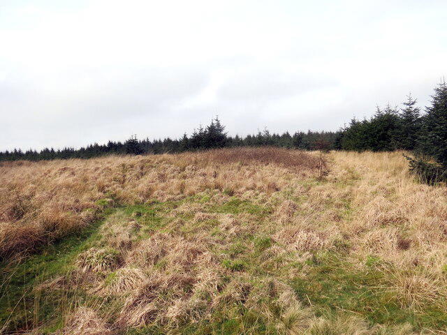 Photo could not load
SS8288 : Crug Llyndwr Fawr (2) / Llyndwr Fawr Barrow (2)
Alan Richards
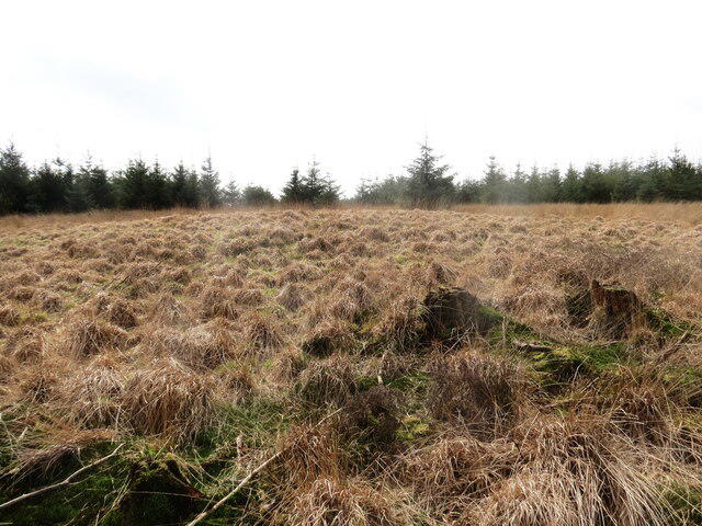 Photo could not load
SS8288 : Crug Llyndwr Fawr (1) / Llyndwr Fawr Barrow (1)
Alan Richards
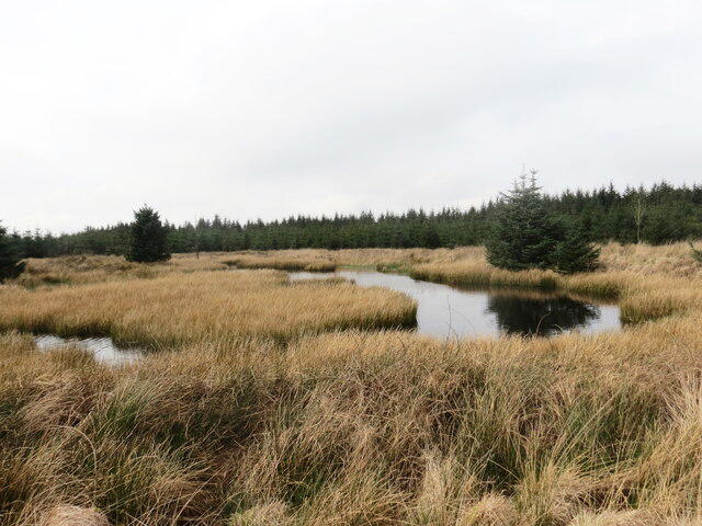 Photo could not load
SS8288 : Llyndwr Fawr
Alan Richards
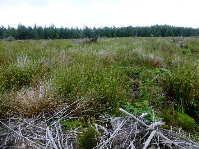 Photo could not load
SS8288 : Mynydd Margam
Rude Health
Hill facts and local notes
Classifications
Elevation
349m
1,145 ft
Prominence
120m
Coordinates
51.5854, -3.6929
SS828887
OS Map
170
Explorer: 166W
At the Summit
At the summit, you'll find a sturdy trig point and a large stone cairn that serves as a perfect picnic spot if you're feeling peckish.
Terrain & Geology
Mynydd Margam is primarily composed of limestone and sandstone, featuring karst landscapes with interesting rock formations and remnants of historical quarrying activities.
Views & Scenery
From the summit, you can see the Bristol Channel, the towering peaks of the Brecon Beacons, and on a clear day, even the distant mountains of Exmoor.
History & Heritage
Name Origin
The name 'Mynydd' translates to 'mountain' in Welsh, with 'Margam' referencing its location near the historic Margam Abbey.
Historical Significance
The area around Mynydd Margam has historical importance, with the nearby Margam Abbey dating back to the 12th century and ruins that attract many visitors.
Getting There & Facilities
Check current local access restrictions, parking rules and transport timetables before travelling. These notes do not confirm public access to the summit.
Parking
Margam Country Park has ample parking available, with clear signposts directing you to the park's entrance.
Public Transport
Regular bus services operate from Port Talbot to Margam Country Park. The nearest train station is Port Talbot Parkway.
Nearby Facilities
Margam Country Park offers a café, restrooms, and picnic areas for that all-important cuppa after your hike.
Safety Information
Known Hazards
- Loose rocks on steep sections, occasional muddy patches in wetter seasons, and limited cell service in remote areas.
General Safety Tips
- Check weather conditions before setting out
- Carry appropriate clothing and equipment
- Let someone know your planned route
- Take a map, compass, and GPS device
- Carry emergency supplies: food, water, first aid kit, torch
Hills
Some common questions about the hills answered
Are there group walks up Mynydd Margam?
Many walkers use Walkmates to join or organise walks with others. You can check for group walks around Mynydd Margam through the maps
Are there other walkers around Mynydd Margam?
Activity varies by location and time, but Walkmates lets you see whether others have shared walks or shown interest in this area. Find other people through the walking friends search walking friends for Mynydd Margam search or of course create your own walk for Mynydd Margam
Can I organise a walk to Mynydd Margam?
Yes. If there aren’t any walks listed already, you can create a walk and make it available for others to join.
If you're signed up to Walkmates, you can create a walk to Mynydd Margam.
How do I find a walk up this hill?
There are often multiple ways to walk this hill, depending on experience and route preference. Walkmates helps you explore walks and routes that others have shared.
Can I suggest a new route up Mynydd Margam?
Yes. You can suggest or create routes to share with others. Walkmates focuses on the social side of walking, so routes are used to help people organise walks and explore areas together, rather than as detailed navigation tools or route libraries.
Other uses really appreciate knowledgeable walkers sharing their routes. Share your favourite route to Mynydd Margam here
The is an error or something incorrect about this hill. How do I let you know?
We always strive to keep the information on Walkmates as accurate as possible. If you find an error, please let us know through the contact form and we'll aim to correct it as quickly as possible
Community Discussion
Comments
Location
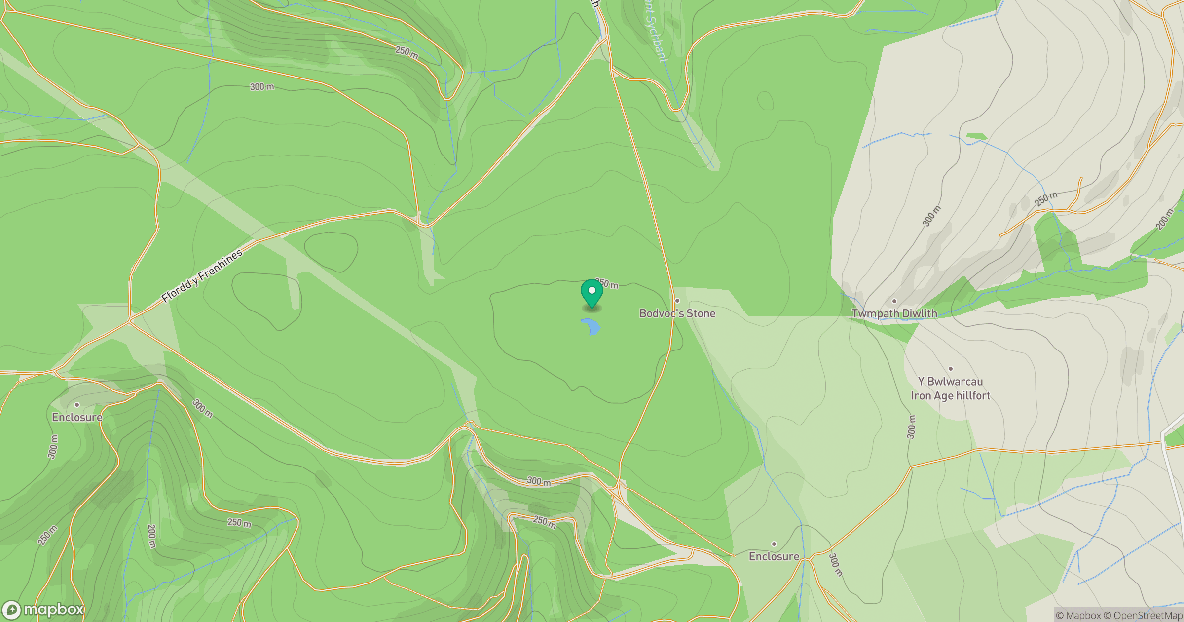
Grid reference: SS828887
View on OpenStreetMapOpens a map in a new tab, centred on the hill.
Hills within 30 km
Straight-line distance, not a walking route or confirmation of access.
No comments yet. Be the first.