

Mynydd Marchywel
Good walks are even better shared.
Overview
Mynydd Marchywel
Situated in the heart of South Wales, Mynydd Marchywel is a delightful Marilyn that offers both scenic beauty and a taste of local history. Standing at 366 meters, it's not the highest peak in the region, but it certainly has plenty to offer enthusiastic hikers.
Geology
The mountain's terrain is primarily shaped by Old Red Sandstone, lending it a characteristic reddish appearance. As you wander through its grassy slopes and rocky outcrops, you might even come across some fascinating geological formations that tell tales of ancient landscapes.
Routes
The most popular route to the summit is the Mynydd Marchywel Circular Route. Starting from the quaint village of Mynyddbach, this approximately 7.5 km trek can be completed in about 2.5 hours. It’s deemed moderate in difficulty, making it accessible for most hikers. Remember to pack your camera; the vistas are riveting!
Summit Features
At the peak, you’re greeted by a humble cairn, marking the summit proudly. Also, the trig point stands tall, offering ample opportunity for that coveted summit selfie. Whether you're a seasoned hiker or a weekend wanderer, the sense of achievement when reaching the top is palpable.
Terrain
Mynydd Marchywel’s terrain is predominantly grassy, interspersed with rocky patches and the occasional boggy area. It’s advisable to wear sturdy footwear, especially after a rain, as the paths can get quite slippery.
Views
Upon reaching the summit, the panoramic views are second to none. You can gaze into the sweeping valleys of the Brecon Beacons and spot the iconic peaks of the Black Mountains in the distance. The best times for spectacular views are during spring and early autumn when the skies are clear and vibrant greenery adorns the landscape.
Hazards
While the hike is generally safe, do keep an eye on the ever-changing Welsh weather. It can go from sunny to misty quicker than you can say 'Aberystwyth'. Watch out for slippery paths after rain, as they can present a challenge, especially on the descent.
Nearby Summits
Not far from Mynydd Marchywel lie other notable peaks, including Taf Bedwyn and Mynydd y Gwaredau. These can make for excellent additions to your hiking itinerary, allowing you to explore more of the stunning Welsh countryside.
Access
For those driving, a small parking area awaits in Mynyddbach village, but it fills up quickly – don’t dilly-dally! Public transport from Cardiff is also viable, with regular buses available.
Facilities
While there are no facilities directly on the mountain, a lovely pub in Mynyddbach is a perfect place to rest and refuel after your adventures. A good pint is well-deserved!
History
The name 'Mynydd Marchywel' translates to 'Hill of the Marches', a nod to its historical significance as a borderland area. It has been steeped in local folklore and served as a hunting ground for local nobility.
So, lace up those boots and get your walking sticks ready! Mynydd Marchywel awaits, with its stunning views and rich history promising a memorable adventure.
Explore routes near Mynydd Marchywel
Public walks starting within 80 km of this hill. Nearby does not mean a route reaches the summit; check its map and access before setting out.
Swansea Canal: Coed Gwilym Park to Pontardawe Aqueduct
View route
Aircraft Crash Site - Wellington Bomber and Vampire Jet (Black Mountain range)
View route
Swansea Marina to Mumbles Pier approach
View route
Swansea Clyne Valley Railway Walk: Blackpill to Dunvant
View route
Route planning notes
These notes describe possible approaches, not verified navigable routes or permission to cross land. Check current paths, local access rules and conditions before setting out.
Mynydd Marchywel Circular Route
Starting from the village of Mynyddbach, this circular route takes you to the summit and back through some stunning countryside.
Make a day of it, together
Find someone to share the walk with, or organise a day out along a route you like.
Photo Gallery
View all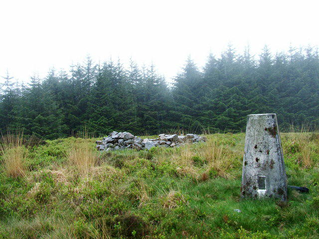 Photo could not load
SN7603 : Mynydd March Hywel trig point
Aaron Jones
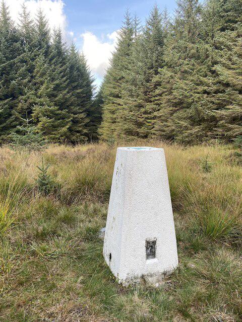 Photo could not load
SN7603 : Trig point on Mynydd Marchywel
Alan Hughes
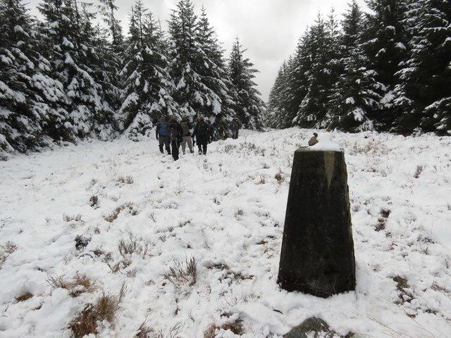 Photo could not load
SN7603 : Mynydd Marchywel
Alan Richards
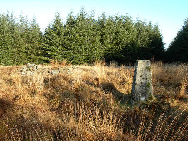 Photo could not load
SN7603 : Triangulation Pillar (S2048)
Adrian Dust
Hill facts and local notes
Classifications
Elevation
418m
1,371 ft
Prominence
263m
Coordinates
51.7191, -3.7846
SN768037
OS Map
170
Explorer: 165
At the Summit
The summit boasts a classic cairn, which is essential for any self-respecting mountain. There's also a trig point, perfect for those Instagram photos.
Terrain & Geology
Mynydd Marchywel is primarily composed of Old Red Sandstone, which gives the area its distinct reddish hue. The rock formations around the summit are a testament to millions of years of geological history.
Views & Scenery
From the summit, you can see the sweeping valleys of the Brecon Beacons and, on a clear day, the stunning peaks of the Black Mountains.
History & Heritage
Name Origin
The name 'Mynydd Marchywel' translates to 'Hill of the Marches', referencing its position near the historical borderlands.
Historical Significance
Historically, Mynydd Marchywel has been a site of local folklore and was once part of a larger hunting area for local gentry.
Getting There & Facilities
Check current local access restrictions, parking rules and transport timetables before travelling. These notes do not confirm public access to the summit.
Parking
There is a small parking area near Mynyddbach village, suitable for a few cars. Arrive early to secure a spot!
Public Transport
Buses run regularly from Cardiff to Mynyddbach, making it accessible for hikers who prefer public transport.
Nearby Facilities
No facilities directly on Mynydd Marchywel, but Mynyddbach has a friendly pub where you can grab a pint or a bite to eat post-hike.
Safety Information
Known Hazards
- Be wary of sudden weather changes, as they can obscure visibility. Also, the terrain can become slippery after rain, so watch your step!
General Safety Tips
- Check weather conditions before setting out
- Carry appropriate clothing and equipment
- Let someone know your planned route
- Take a map, compass, and GPS device
- Carry emergency supplies: food, water, first aid kit, torch
Hills
Some common questions about the hills answered
Are there group walks up Mynydd Marchywel?
Many walkers use Walkmates to join or organise walks with others. You can check for group walks around Mynydd Marchywel through the maps
Are there other walkers around Mynydd Marchywel?
Activity varies by location and time, but Walkmates lets you see whether others have shared walks or shown interest in this area. Find other people through the walking friends search walking friends for Mynydd Marchywel search or of course create your own walk for Mynydd Marchywel
Can I organise a walk to Mynydd Marchywel?
Yes. If there aren’t any walks listed already, you can create a walk and make it available for others to join.
If you're signed up to Walkmates, you can create a walk to Mynydd Marchywel.
How do I find a walk up this hill?
There are often multiple ways to walk this hill, depending on experience and route preference. Walkmates helps you explore walks and routes that others have shared.
Can I suggest a new route up Mynydd Marchywel?
Yes. You can suggest or create routes to share with others. Walkmates focuses on the social side of walking, so routes are used to help people organise walks and explore areas together, rather than as detailed navigation tools or route libraries.
Other uses really appreciate knowledgeable walkers sharing their routes. Share your favourite route to Mynydd Marchywel here
The is an error or something incorrect about this hill. How do I let you know?
We always strive to keep the information on Walkmates as accurate as possible. If you find an error, please let us know through the contact form and we'll aim to correct it as quickly as possible
Community Discussion
Comments
Location
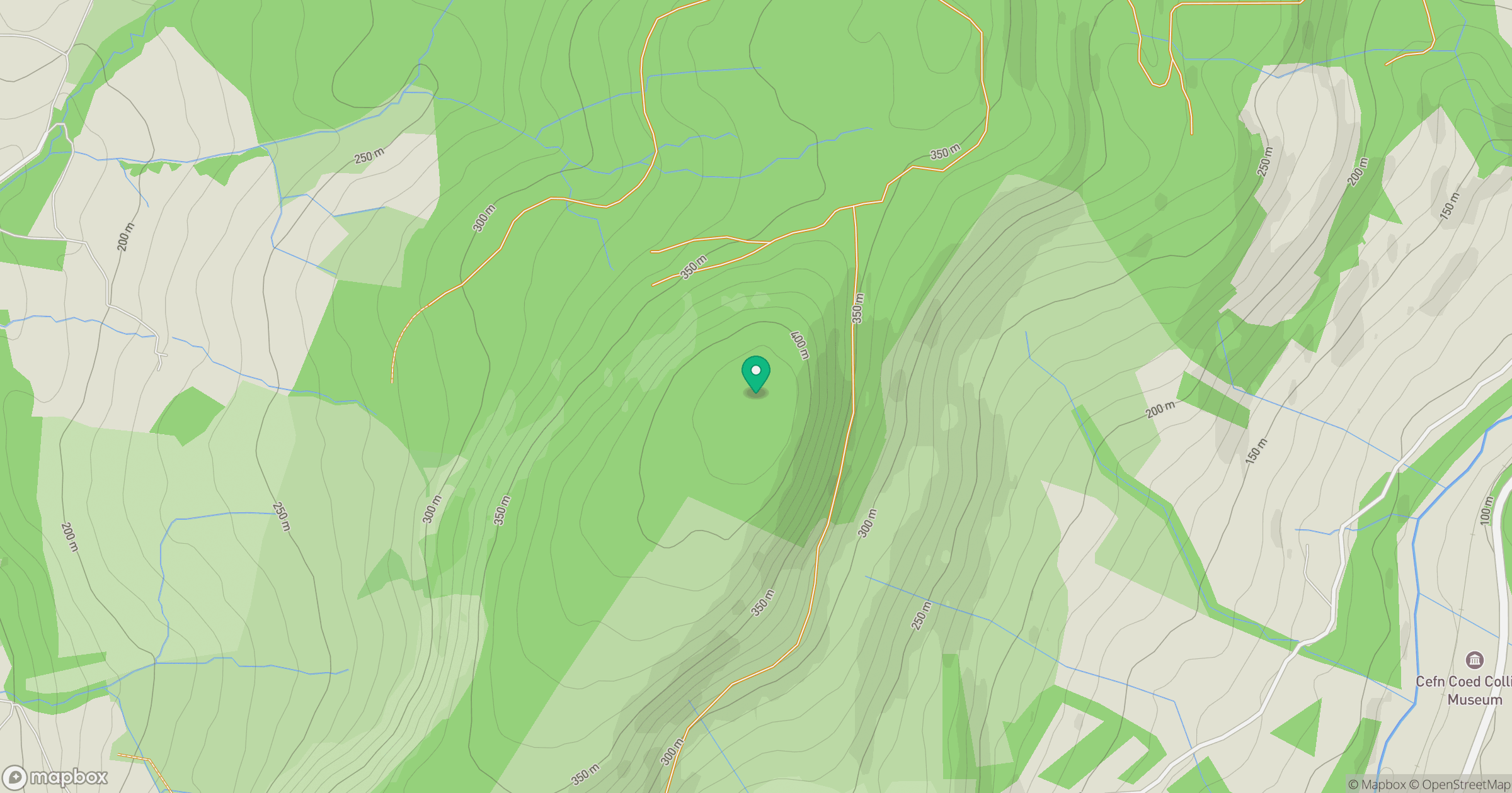
Grid reference: SN768037
View on OpenStreetMapOpens a map in a new tab, centred on the hill.
Hills within 30 km
Straight-line distance, not a walking route or confirmation of access.
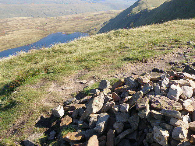
Fan Brycheiniog - Twr y Fan Foel
802m
Fan Gyhirych
726m
Mynydd Allt-y-grug
339m
Mynydd Drumau
272m
Foel Fynyddau
370m
No comments yet. Be the first.