

Lambert's Castle Hill
Good walks are even better shared.
SY3798 : Trig point on Lambert's Castle Hill
Richard Dorrell Photo source
Overview
Lambert's Castle Hill
Overview
Lambert's Castle Hill, standing tall at 237 meters, is a gem nestled in the enchanting countryside of Dorset. This Marilyn—an English hill with a prominence of at least 150 meters—offers not only stunning views but also a glimpse into the region's rich history.
Geology
The hill is predominantly composed of chalk interspersed with clay, dating back to the Cretaceous period. If your idea of excitement is fossil hunting, you might get lucky as the hill's chalky substrate often reveals intriguing finds!
Routes
There are several well-marked routes leading to the summit:
- Lambert's Castle Circular Walk: This 5.5 km loop rewards walkers with picturesque scenery and a moderate challenge, taking about 2 hours to complete.
- Short Ascent from Toller Porcorum: A straightforward 2 km trek that’s perfect for a family outing, taking roughly 1 hour.
Summit Features
At the summit, you will be greeted by ancient earthworks, hinting at a former hill fort that serenely overlooks the surrounding landscape.
Terrain
Expect grassy stretches with a few rocky outcrops. Although most paths are easy-going, some may be steep; hence, good hiking boots will be your best friends!
Views
The summit astonishes with panoramic vistas, including the Jurassic Coast and the lush Blackmore Vale. For the best photographic opportunities, aim to visit in spring or autumn when the air is clear, and the landscape is alive with colour.
Hazards
Watch your step—some areas may be slippery, especially after rainfall! Additionally, be wary of local livestock; they might have different ideas about personal space!
Nearby Summits
Within reach are other remarkable hills, such as Blackdown Hill and Pilsdon Pen, both excellent additions to your hiking adventures.
Access
Parking can be found in Wambrook, with convenient access to numerous walks. For those relying on public transport, Crewkerne station is the nearest, about 6 miles away. Buses frequently zip to Wambrook from nearby towns.
Facilities
Crewkerne, the closest town, offers a variety of shops and cafes to refuel before or after your adventure. For restroom needs, facilities are also available there.
History
The mountain’s name hints at ancient origins, possibly referring to a landowner named Lambert and the presence of a castle-like structure. Its strategic position shows its importance, particularly during the Iron Age.
Now, strap on those boots, embrace the fresh Dorset air, and lace up for an unforgettable experience on Lambert's Castle Hill. Happy hiking!
Explore routes near Lambert's Castle Hill
Walks starting near this hill. Open a route to check its map, distance and full itinerary.
Langdon Hill Circular
View route
Taunton Walk with Men Walking & Talking
View route
Maunsel Lock to Charlton Bridge: Durston and Cogload canal return
View route
Maunsel Lock to Fordgate: Somerset Space Walk Towpath Return
View route
Route planning notes
These notes describe possible approaches. Check a route's map and access information when planning your walk.
Lambert's Castle Circular Walk
A scenic circular route that starts from the village of Wambrook, leading hikers through beautiful countryside before ascending to the summit.
Short Ascent from Toller Porcorum
A straightforward hike from Toller Porcorum that provides a quick ascent to Lambert's Castle Hill, ideal for families.
Make a day of it, together
Find someone to share the walk with, or organise a day out along a route you like.
Photo Gallery
View all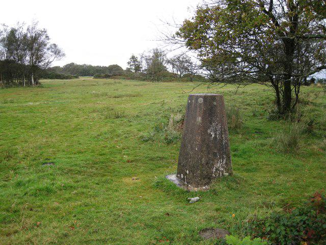 Photo could not load
SY3798 : Trig point on Lambert's Castle Hill
Richard Dorrell
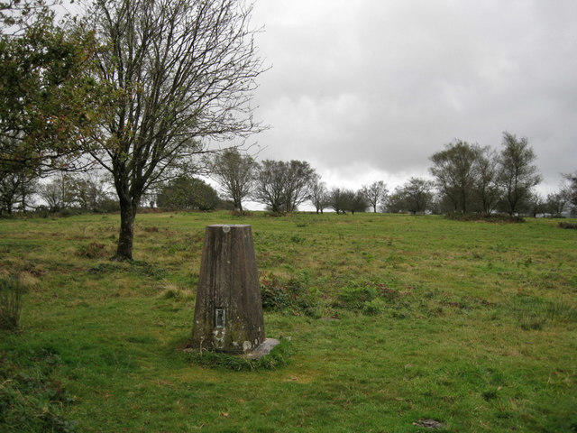 Photo could not load
SY3798 : Trig point on Lambert's Castle Hill
Richard Dorrell
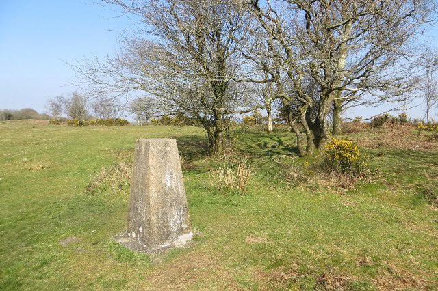 Photo could not load
SY3798 : Triangulation pillar, Lambert's Castle
Richard Webb
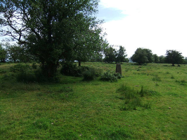 Photo could not load
SY3798 : Lambert's Castle Hill
David Brown
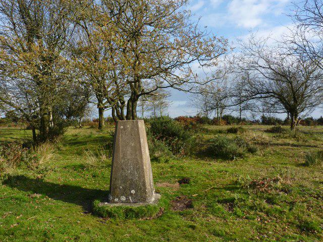 Photo could not load
SY3798 : Trigpoint, Lambert's Castle
Becky Williamson
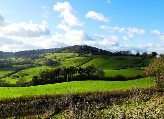 Photo could not load
SY3798 : View towards Lambert's Castle Hill
Roger Cornfoot
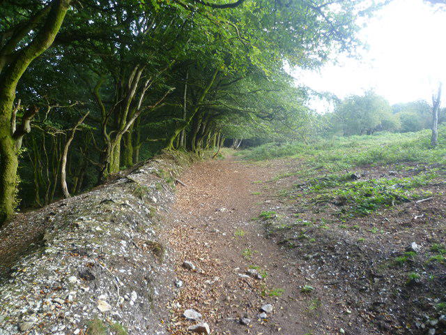 Photo could not load
SY3799 : Lambert's Castle Hill
Michael Graham
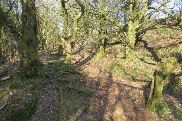 Photo could not load
SY3799 : Woodland, Lambert's Castle
Richard Webb
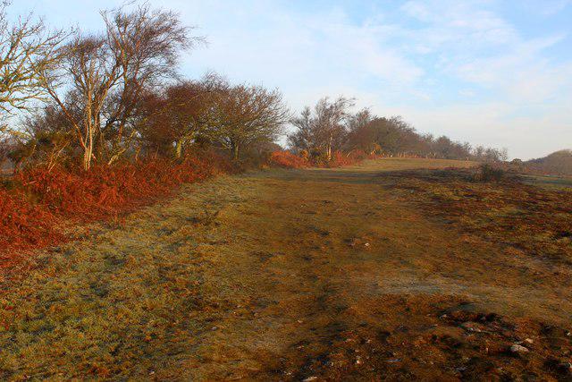 Photo could not load
SY3798 : Ascending onto Lambert's Castle Hill
Chris Heaton
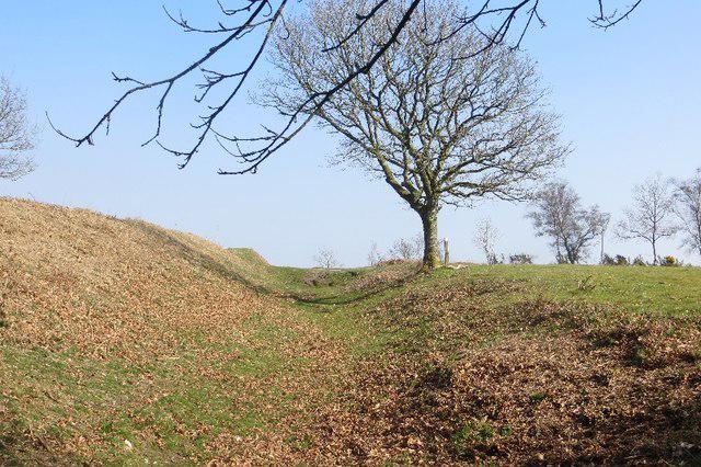
SY3798 : Lambert's Castle
Richard Webb
Hill facts and local notes
Classifications
Elevation
258m
846 ft
Prominence
121m
Coordinates
50.7871, -2.8928
SY371989
OS Map
193
Explorer: 116
At the Summit
At the summit, hikers can find a large rectangular earthwork, thought to be a former hill fort, contributing to the site's historical interest.
Terrain & Geology
Lambert's Castle Hill is primarily composed of chalk and clay, typical of the Cretaceous period geology found in this part of England. The hill's distinctive contours were formed through the natural erosion of softer materials, which leaves behind the more resistant chalk formations. Fossils can often be found in the chalk, delighting amateur paleontologists.
Views & Scenery
From the summit, enjoy sweeping views of the surrounding Dorset countryside, including glimpses of the Jurassic Coast and the ancient hills of the Blackmore Vale.
History & Heritage
Name Origin
The name 'Lambert' might derive from Old English, referencing a landowner. 'Castle Hill' suggests the presence of historical defensive structures in the area.
Historical Significance
The site is believed to have been occupied since the Iron Age, reflecting its strategic importance throughout history.
Getting There & Facilities
Parking
Parking is available in the village of Wambrook, with a small car park just off the main road, providing easy access to the circular walk.
Public Transport
The nearest train station is in Crewkerne, approximately 6 miles away. Regular bus services operate from nearby towns to Wambrook.
Nearby Facilities
There are no direct facilities on the hill, but Crewkerne has cafes and shops where hikers can refresh before or after their hike. Public toilets are also available in Crewkerne.
Safety Information
Known Hazards
- Some sections may be slippery after rain; proper footwear is recommended. Be cautious of livestock in the fields, and keep dogs on leads.
General Safety Tips
- Check weather conditions before setting out
- Carry appropriate clothing and equipment
- Let someone know your planned route
- Take a map, compass, and GPS device
- Carry emergency supplies: food, water, first aid kit, torch
Hills
Some common questions about the hills answered
Are there group walks up Lambert's Castle Hill?
Many walkers use Walkmates to join or organise walks with others. You can check for group walks around Lambert's Castle Hill through the maps
Are there other walkers around Lambert's Castle Hill?
Activity varies by location and time, but Walkmates lets you see whether others have shared walks or shown interest in this area. Find other people through the walking friends search walking friends for Lambert's Castle Hill search or of course create your own walk for Lambert's Castle Hill
Can I organise a walk to Lambert's Castle Hill?
Yes. If there aren’t any walks listed already, you can create a walk and make it available for others to join.
If you're signed up to Walkmates, you can create a walk to Lambert's Castle Hill.
How do I find a walk up this hill?
There are often multiple ways to walk this hill, depending on experience and route preference. Walkmates helps you explore walks and routes that others have shared.
Can I suggest a new route up Lambert's Castle Hill?
Yes. You can suggest or create routes to share with others. Walkmates focuses on the social side of walking, so routes are used to help people organise walks and explore areas together, rather than as detailed navigation tools or route libraries.
Other uses really appreciate knowledgeable walkers sharing their routes. Share your favourite route to Lambert's Castle Hill here
The is an error or something incorrect about this hill. How do I let you know?
We always strive to keep the information on Walkmates as accurate as possible. If you find an error, please let us know through the contact form and we'll aim to correct it as quickly as possible
Community Discussion
Comments
Location
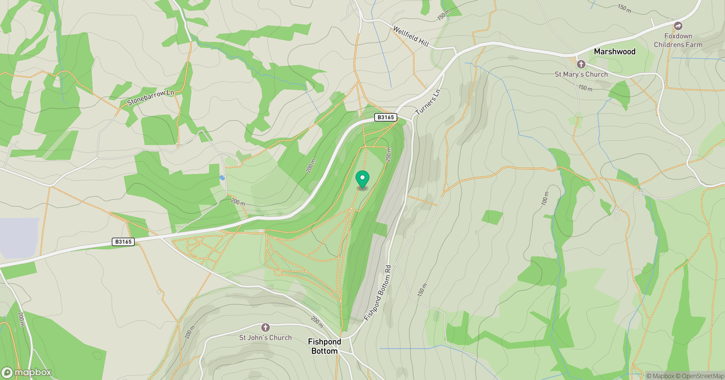
Grid reference: SY371989
View on OpenStreetMapOpens a map in a new tab, centred on the hill.



No comments yet. Be the first.