

Duncliffe Hill
Good walks are even better shared.
ST8222 : Gate on footpath along Duncliffe Hill
Toby Photo source
Overview
Duncliffe Hill: An Explorer's Delight
Duncliffe Hill, perched at 244 meters, is a charming Marilyn located in the picturesque South West of England. Known for its rolling greenery and stunning vistas, it's a favourite among local hikers and those wanting to escape the hustle and bustle of urban life.
Geology
The hill is primarily composed of Jurassic clay and limestone, a testament to the area's rich geological history. For geology buffs, the diverse sedimentary rock formations provide an interesting backdrop to your adventures.
Routes
The most popular route is the Duncliffe Hill Circuit, which spans approximately 5 km and takes about 2 hours to complete. This moderate trail is perfect for families and seasoned hikers alike, as it gently winds through beautiful countryside leading to the summit.
Summit Features
Upon reaching the summit, hikers are greeted by a delightful grassy knoll and a small cairn, a perfect spot for a well-deserved rest. The panoramic views will have you reaching for your camera—or even your phone, as selfies are a must!
Terrain Type
Expect a mix of grassy paths and heathy areas interspersed with the occasional rocky outcrop. Be wary in slick conditions, as it can be easy to lose your footing.
Views
The vistas from Duncliffe Hill are simply breathtaking. You can feast your eyes on the sprawling Blackmore Vale, the idyllic Dorset countryside, and possibly even catch a glimpse of the distant Somerset Levels on a clear day. Spring and autumn are the best seasons for clarity and vibrance in the views.
Hazards
While the paths are relatively easy to navigate, be cautious of wet and slippery conditions during rain. Uneven terrain can also trick you into thinking you’re a mountain goat—so tread carefully!
Nearby Summits
If you're feeling adventurous, consider exploring nearby Hunsdon Hill, which stands a bit taller at 265 meters.
Access
You can park your vehicle in a small car park near the village of Shaften. Just remember to check for seasonal restrictions before you go! Public transport options are available from Stalbridge, which is about 2 km away.
Facilities
Wander into the nearby town of Stalbridge for quaint cafes and public toilets—just right for a post-hike treat.
History
The name 'Duncliffe' reflects its Old English roots, meaning 'hill with a hanging cliff'. This hill has long served as a natural lookout, and continues to be a beloved landmark for adventurers and nature lovers alike.
So lace up your hiking boots and set off for Duncliffe Hill, where adventure and scenic beauty await!
Explore routes near Duncliffe Hill
Walks starting near this hill. Open a route to check its map, distance and full itinerary.
Sturminster Newton, Cutt Mill and Stalbridge Lane
View route
Stourhead: Alfred's Tower, Park Hill Camp and Turner's Paddock
View route
Heal Somerset wetland ranger walk
View route
Heal Somerset wetland ranger walk
View route
Route planning notes
These notes describe possible approaches. Check a route's map and access information when planning your walk.
Duncliffe Hill Circuit
A circuit route that winds through the scenic countryside, offering a gentle ascent to the summit and a relaxing return path.
Make a day of it, together
Find someone to share the walk with, or organise a day out along a route you like.
Photo Gallery
View all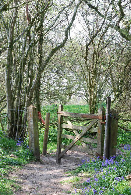 Photo could not load
ST8222 : Gate on footpath along Duncliffe Hill
Toby
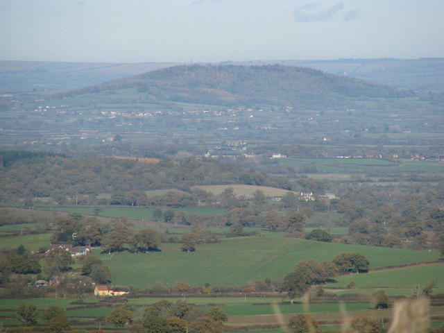 Photo could not load
ST8222 : Duncliffe Hill from Woolland Hill
Sarah Charlesworth
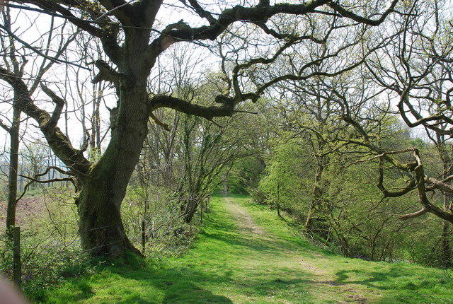 Photo could not load
ST8222 : Footpath along top of Duncliffe Hill
Toby
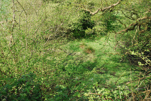 Photo could not load
ST8222 : Spring on Duncliffe Hill
Toby
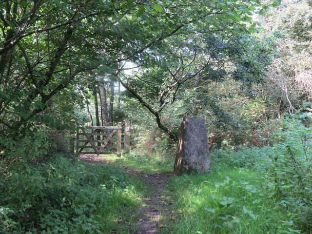 Photo could not load
ST8222 : Trigpoint on Duncliffe Hill, Duncliffe Wood
Becky Williamson
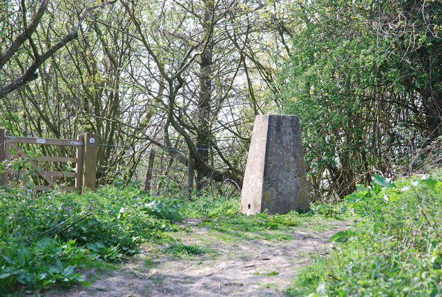 Photo could not load
ST8222 : Trig point on Duncliffe Hill
Toby
Hill facts and local notes
Classifications
Elevation
210m
689 ft
Prominence
98m
Coordinates
51.0025, -2.2494
ST826226
OS Map
183
Explorer: 129E
At the Summit
The summit features a grassy knoll with a small cairn and a fantastic view overlooking the Blackmore Vale and the surrounding hills.
Terrain & Geology
Duncliffe Hill is primarily composed of Jurassic clay and limestone, making it a fascinating study for geology enthusiasts. The surrounding area also showcases various sedimentary rock formations.
Views & Scenery
From the summit, you can enjoy splendid views of the Blackmore Vale, the Dorset countryside, and on clear days, the rolling hills of the Somerset Levels.
History & Heritage
Name Origin
The name 'Duncliffe' likely originates from Old English, meaning 'hill with a hanging cliff'.
Historical Significance
Historically, Duncliffe Hill has been a lookout point and holds significance as a natural landmark for local explorers and historians alike.
Getting There & Facilities
Parking
There is a small car park at the base of the hill near the village of Shaften. Keep an eye out for seasonal restrictions.
Public Transport
The nearest bus stop is in Stalbridge, which is approximately 2 km away from the hill. Buses from Sherborne and Gillingham service this route.
Nearby Facilities
A couple of quaint village cafes in Stalbridge offer refreshments, and public toilets are available in the nearby village.
Safety Information
Known Hazards
- Wet and slippery paths in rainy conditions. Keep an eye out for uneven terrain.
General Safety Tips
- Check weather conditions before setting out
- Carry appropriate clothing and equipment
- Let someone know your planned route
- Take a map, compass, and GPS device
- Carry emergency supplies: food, water, first aid kit, torch
Hills
Some common questions about the hills answered
Are there group walks up Duncliffe Hill?
Many walkers use Walkmates to join or organise walks with others. You can check for group walks around Duncliffe Hill through the maps
Are there other walkers around Duncliffe Hill?
Activity varies by location and time, but Walkmates lets you see whether others have shared walks or shown interest in this area. Find other people through the walking friends search walking friends for Duncliffe Hill search or of course create your own walk for Duncliffe Hill
Can I organise a walk to Duncliffe Hill?
Yes. If there aren’t any walks listed already, you can create a walk and make it available for others to join.
If you're signed up to Walkmates, you can create a walk to Duncliffe Hill.
How do I find a walk up this hill?
There are often multiple ways to walk this hill, depending on experience and route preference. Walkmates helps you explore walks and routes that others have shared.
Can I suggest a new route up Duncliffe Hill?
Yes. You can suggest or create routes to share with others. Walkmates focuses on the social side of walking, so routes are used to help people organise walks and explore areas together, rather than as detailed navigation tools or route libraries.
Other uses really appreciate knowledgeable walkers sharing their routes. Share your favourite route to Duncliffe Hill here
The is an error or something incorrect about this hill. How do I let you know?
We always strive to keep the information on Walkmates as accurate as possible. If you find an error, please let us know through the contact form and we'll aim to correct it as quickly as possible
Community Discussion
Comments
Location
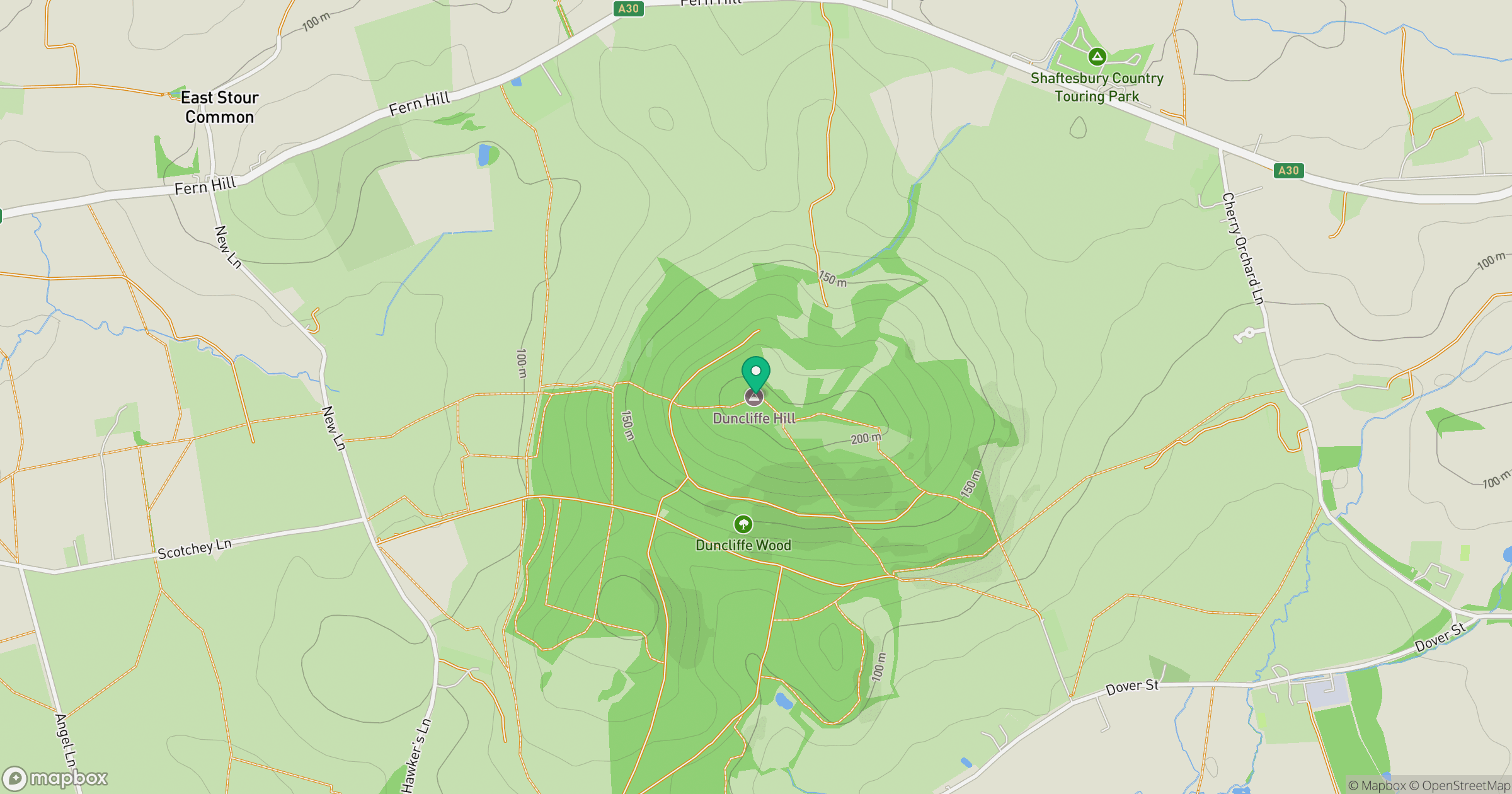
Grid reference: ST826226
View on OpenStreetMapOpens a map in a new tab, centred on the hill.
Nearby Hills
Glastonbury Tor
158m
Worcestershire Beacon
425m

Dunkery Beacon
520m
Titterstone Clee Hill
533m

Cribyn
794m
No comments yet. Be the first.