

Long Knoll
Good walks are even better shared.
ST7837 : 2008 : South from Long Knoll trigpoint
Maurice Pullin Photo source
Overview
Long Knoll: The Hidden Gem of the Mendips
Nestled within the stunning Mendip Hills, Long Knoll rises to a gentle height of 297 meters, carving out a serene escape for hikers and nature lovers alike. This marvellous Marilyn offers not only a manageable challenge but also stunning views that can rival the best of Britain.
Geology
Long Knoll is formed predominantly of limestone, a rock that carries its own stories of ancient seas. This geological marvel showcases karstic features, making the ascent as visually rewarding as it is physically engaging. Keep an eye out for the delightful limestone pavements and eclectic wildlife along your way.
Routes
The most popular trek is the Long Knoll Circular Route, covering approximately 5.5 km over moderately challenging terrain. It takes about 2.5 hours, depending on how many selfies you attempt at the top! This route is splendid for those who enjoy rolling hills and the occasional game of hide-and-seek with sheep along the path.
Summit Features
Upon reaching the summit, the unmistakable ancient burial mound greets hikers. It's an appropriate spot for a picturesque picnic, where you can relax and take in the breathtaking views.
Terrain Type
Expect a tapestry of grassy fields interspersed with rocky outcrops. While it’s generally friendly enough for all levels of walkers, certain areas can get a wee bit boggy when the clouds decide to shed a few tears.
Views
From the top, visitors can gaze out at sweeping landscapes, spotting landmarks like the Bristol Channel and the far-off Brecon Beacons. The best time for these sights? Spring and Autumn, when the vibrant colours create a vivid backdrop.
Hazards
As lovely as Long Knoll is, don’t let your guard down! Sudden weather changes can occur, so pack an extra layer. And those stones? Make sure you’ve got sturdy boots, as they can sometimes choose to roll when you least expect it.
Access
Parking is limited near Ston Easton, but if you arrive early enough, you can snag a coveted spot. If you’re taking public transport, hop off at the Ston Easton bus stop—or make a day of it and venture from Radstock station.
Facilities
While it’s a wild adventure up top, the village below offers a cosy café and public toilets, perfect for pre or post-hike refreshments.
History
The very name 'Long Knoll' evokes its elongated stature, while its ancient burial mound tells tales of time long past. It’s a spot steeped in significance and ripe for exploration.
So lace up your hiking boots and embrace the splendour of Long Knoll—where the views are plenty, and the hills are alive with the sound of nature!
Happy hiking!
Last Updated
2023-10-10
Explore routes near Long Knoll
Walks starting near this hill. Open a route to check its map, distance and full itinerary.
Stourhead: Alfred's Tower, Park Hill Camp and Turner's Paddock
View route
Heal Somerset wetland ranger walk
View route
Heal Somerset wetland ranger walk
View route
Mindful photowalk at Heal Somerset
View route
Route planning notes
These notes describe possible approaches. Check a route's map and access information when planning your walk.
Long Knoll Circular Route
A scenic loop around Long Knoll, featuring panoramic views and varied terrain.
Make a day of it, together
Find someone to share the walk with, or organise a day out along a route you like.
Photo Gallery
View all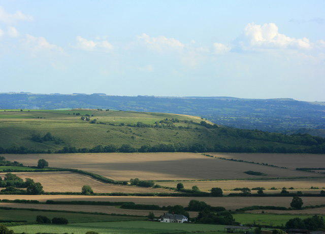 Photo could not load
ST7837 : 2008 : South from Long Knoll trigpoint
Maurice Pullin
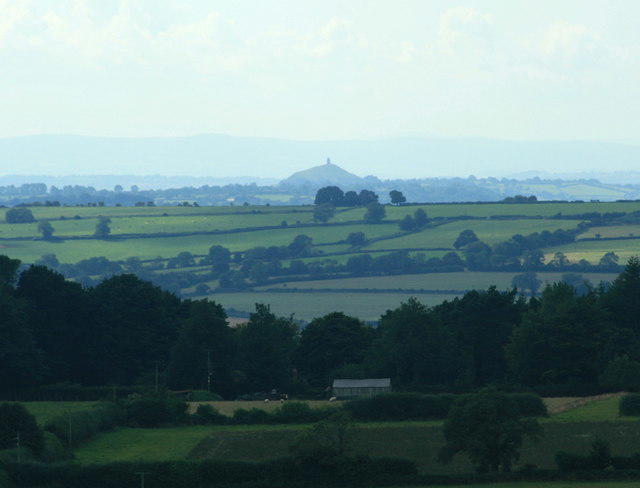 Photo could not load
ST7837 : 2008 : West from Long Knoll to Glastonbury
Maurice Pullin
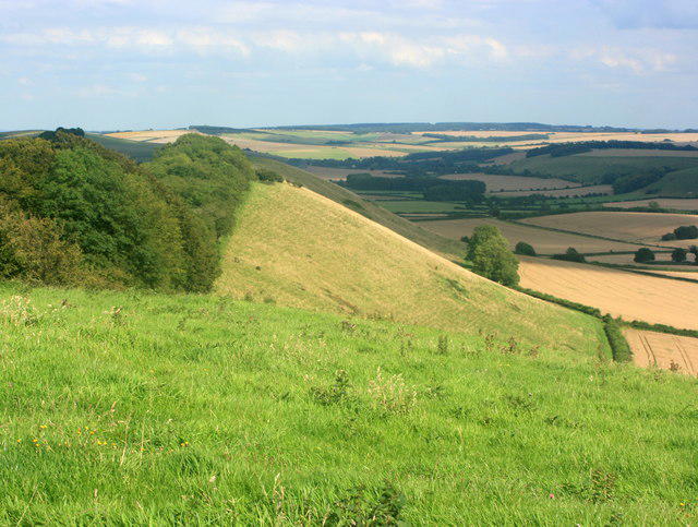 Photo could not load
ST7837 : 2008 : East from Long Knoll trigpoint
Maurice Pullin
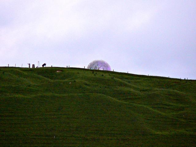 Photo could not load
ST7837 : Art installation, Long Knoll, Norton Ferris
Brian Robert Marshall
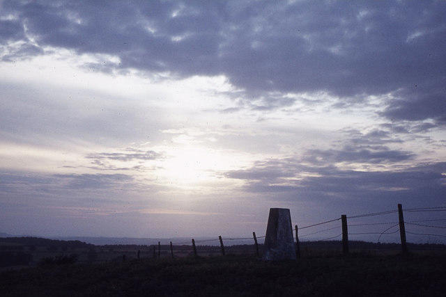 Photo could not load
ST7837 : Summit of Long Knoll near Maiden Bradley
Colin Park
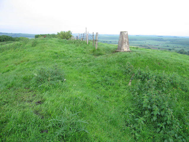 Photo could not load
ST7837 : Long Knoll
Rude Health
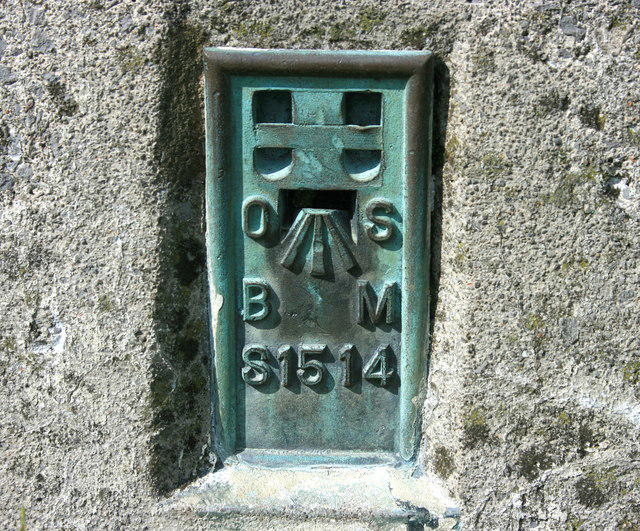 Photo could not load
ST7837 : 2008 : Flush bracket S1514 on Long Knoll trigpoint
Maurice Pullin
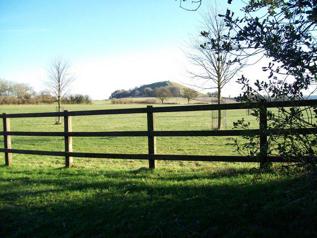 Photo could not load
ST7837 : Long Knoll from Grange Farm
Martin Hibbert
Hill facts and local notes
Classifications
Elevation
288m
946 ft
Prominence
173m
Coordinates
51.1378, -2.3072
ST786376
OS Map
183
Explorer: 142
At the Summit
The summit boasts a prominent ancient burial mound and a well-maintained stone path leading up to the top, perfect for a charming picnic spot.
Terrain & Geology
Long Knoll is primarily composed of limestone, which is characteristic of the Mendip Hills. The region showcases classic karstic features, including limestone pavements and dry stone walls.
Views & Scenery
On a clear day, hikers can spot the Bristol Channel, the Brecon Beacons, and even the distant Black Mountains.
History & Heritage
Name Origin
The name 'Long Knoll' aptly describes its elongated shape, with 'knoll' meaning a small hill.
Historical Significance
Historically, the site is believed to have been used for ancient burial practices, adding a mystical allure to your hike.
Getting There & Facilities
Parking
There is a small parking area near the village of Ston Easton, with spaces for around 10 cars. Arrive early to secure a spot!
Public Transport
The nearest bus stop is in Ston Easton, served by local routes. Alternatively, the nearest train station is in Radstock, about 8 miles away.
Nearby Facilities
While there are no facilities directly on the hill, the nearby village offers a quaint café and public toilets.
Safety Information
Known Hazards
- Watch out for sudden weather changes common to the Mendips. Loose stones can cause slips, so solid footwear is advised.
General Safety Tips
- Check weather conditions before setting out
- Carry appropriate clothing and equipment
- Let someone know your planned route
- Take a map, compass, and GPS device
- Carry emergency supplies: food, water, first aid kit, torch
Hills
Some common questions about the hills answered
Are there group walks up Long Knoll?
Many walkers use Walkmates to join or organise walks with others. You can check for group walks around Long Knoll through the maps
Are there other walkers around Long Knoll?
Activity varies by location and time, but Walkmates lets you see whether others have shared walks or shown interest in this area. Find other people through the walking friends search walking friends for Long Knoll search or of course create your own walk for Long Knoll
Can I organise a walk to Long Knoll?
Yes. If there aren’t any walks listed already, you can create a walk and make it available for others to join.
If you're signed up to Walkmates, you can create a walk to Long Knoll.
How do I find a walk up this hill?
There are often multiple ways to walk this hill, depending on experience and route preference. Walkmates helps you explore walks and routes that others have shared.
Can I suggest a new route up Long Knoll?
Yes. You can suggest or create routes to share with others. Walkmates focuses on the social side of walking, so routes are used to help people organise walks and explore areas together, rather than as detailed navigation tools or route libraries.
Other uses really appreciate knowledgeable walkers sharing their routes. Share your favourite route to Long Knoll here
The is an error or something incorrect about this hill. How do I let you know?
We always strive to keep the information on Walkmates as accurate as possible. If you find an error, please let us know through the contact form and we'll aim to correct it as quickly as possible
Community Discussion
Comments
Location
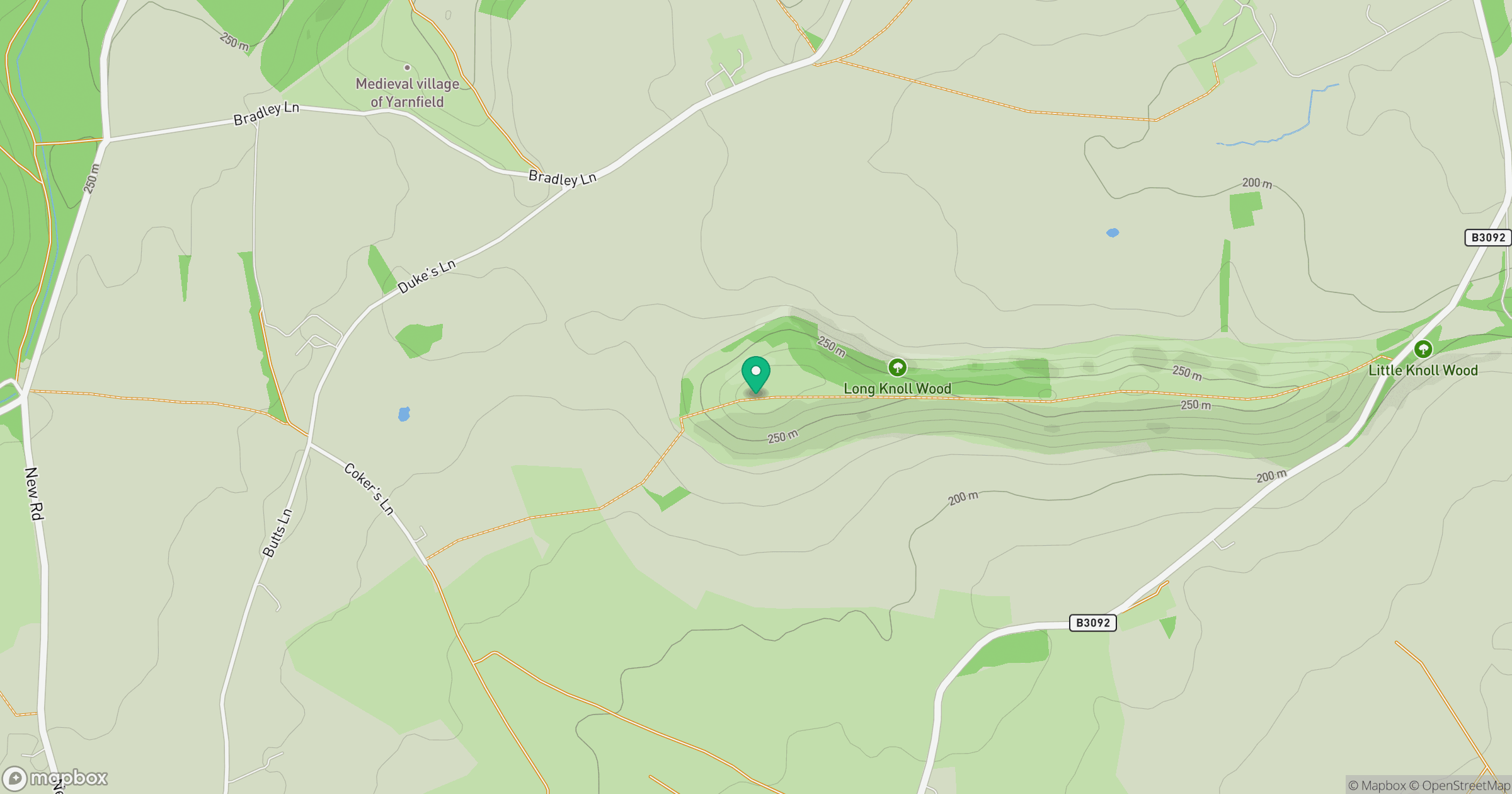
Grid reference: ST786376
View on OpenStreetMapOpens a map in a new tab, centred on the hill.
Nearby Hills
Glastonbury Tor
158m
Worcestershire Beacon
425m

Dunkery Beacon
520m
Titterstone Clee Hill
533m

Cribyn
794m
No comments yet. Be the first.