

White Horse Hill
Good walks are even better shared.
Overview
White Horse Hill
White Horse Hill, standing at 261 meters, is not just any hill—it's a grand chalk wonder of the Oxfordshire landscape. Known for its striking prehistoric White Horse figure carved into the hillside, it beckons enthusiasts and casual ramblers alike.
Geology
This hill is made of chalk, and it all started around 70 million years ago. The chalky terrain supports rich biodiversity and makes for excellent walking paths. Perfect for those who fancy a stroll while contemplating geology from the comfort of their trainers!
Routes
One of the most delightful walks begins at the White Horse Trail. This 5 km circular walk provides an enchanting experience. It's suitable for families with children who still possess the unwavering energy of youth. Expect to spend around 2 hours sauntering through lovely countryside.
Summit Features
Reaching the summit, you are greeted by the grand sight of the Uffington White Horse, standing like a proud sentinel. The figure adds a layer of charm and mystery, perfect for that holiday photo. Don't forget to grab a selfie! There's a small stone marker commemorating this iconic site, too.
Terrain Type
The terrain is predominantly chalk grassland with gentle slopes, making it an easy trek. Just remember—slippery when wet, so it's best to save the hill-climbing antics for a sunny day.
Views
The summit offers sweeping views of the Thames Valley and the Berkshire Downs—the best panorama you'll get without a plane ticket! The views are most stunning in spring and summer, when the greenery springs to life, making it photogenic aplenty.
Hazards
Despite its inviting appearance, those who dare journey must take heed; the chalk can be quite slippery in wet conditions. And don’t be surprised if a few sheep or cows decide to share the path with you; they're part and parcel of the countryside experience.
Nearby Summits
If you're still feeling feisty, consider a jaunt to nearby Dragon Hill, which is slightly lower in elevation but equally enchanting, shrouded in its own local folklore.
Access
The nearest parking is available at the National Trust car park. Make sure to arrive early if you want to snag a spot. Public transport connections exist but prepare for a bit of a trek from Swindon station.
Facilities
While the hill itself doesn't offer facilities, Uffington has a small café to refuel after your adventures, and public toilets for a much-needed pit stop.
History
The very name ‘White Horse’ resonates with tales of ancient times. This site is steeped in folklore, with its origins shrouded in mystery, dating back to at least the Bronze Age.
So lace up those hiking boots and head to White Horse Hill, where every step is steeped in history and every view is a reminder of the beauty of the English countryside.
Happy hiking!
Explore routes near White Horse Hill
Public walks starting within 80 km of this hill. Nearby does not mean a route reaches the summit; check its map and access before setting out.
Warminster Walk with Men Walking & Talking
View route
Devizes Wharf and Caen Hill Lock Flight Towpath Walk
View route
Heal Somerset wetland ranger walk
View route
Mindful photowalk at Heal Somerset
View route
Route planning notes
These notes describe possible approaches, not verified navigable routes or permission to cross land. Check current paths, local access rules and conditions before setting out.
White Horse Trail
A popular circular walk offering breathtaking views of the surrounding countryside, perfect for a family outing.
Make a day of it, together
Find someone to share the walk with, or organise a day out along a route you like.
Photo Gallery
View all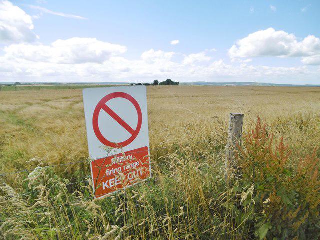 Photo could not load
ST8951 : Westbury, sign
Mike Faherty
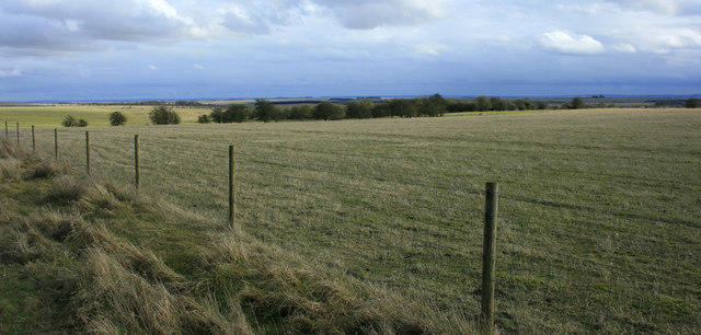 Photo could not load
ST9051 : 2010 : View across Salisbury Plain
Maurice Pullin
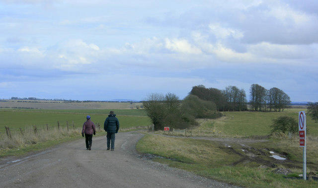 Photo could not load
ST9051 : 2010 : Walking the MOD Firing Range Perimeter Path
Maurice Pullin
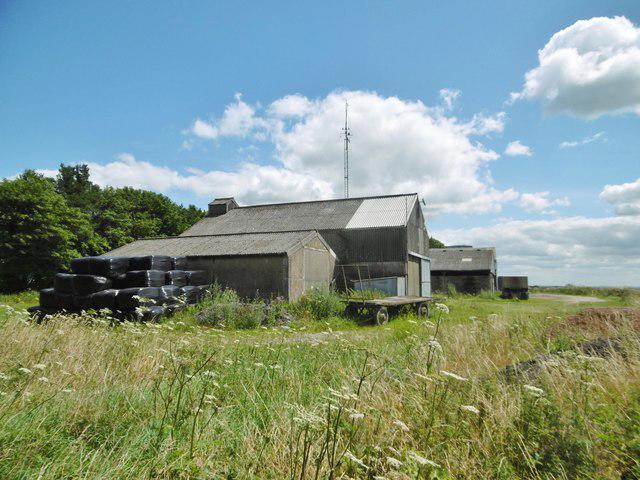 Photo could not load
ST9051 : Bratton, White Horse Farm
Mike Faherty
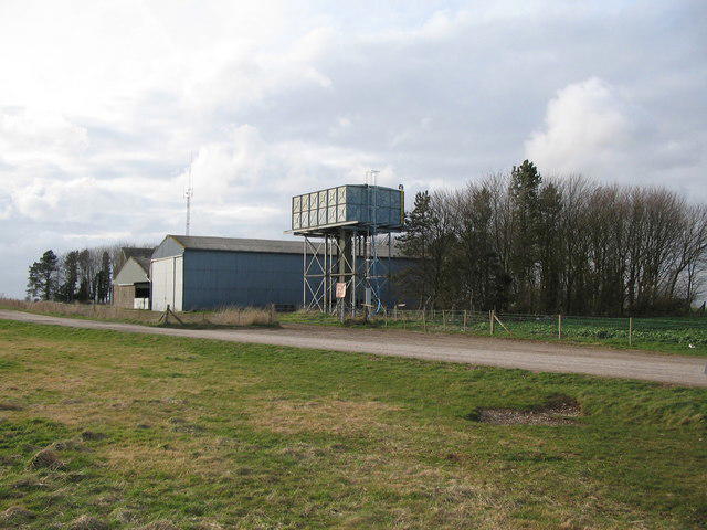 Photo could not load
ST9051 : White Horse Farm
Phil Williams
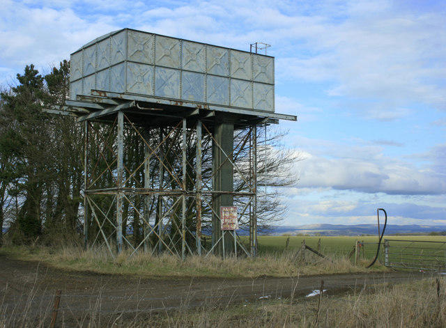 Photo could not load
ST9051 : 2010 : Water tower at White Horse Farm
Maurice Pullin
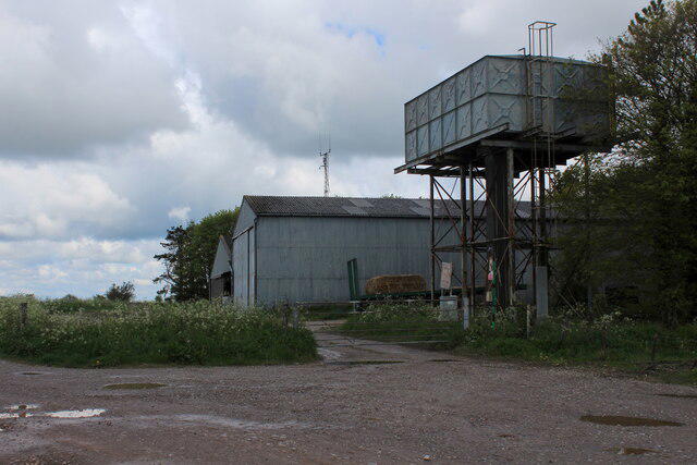 Photo could not load
ST9051 : White Horse Farm
Chris Heaton
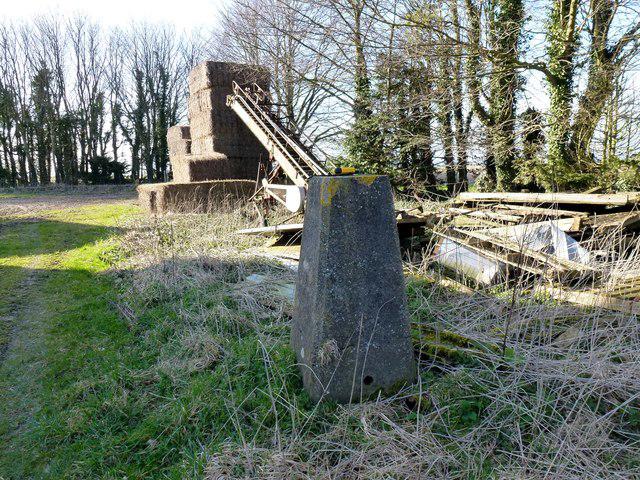 Photo could not load
ST9051 : White Horse Hill, Westbury
Rude Health
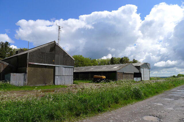 Photo could not load
ST9051 : White Horse Farm, Bratton Down
Tim Heaton
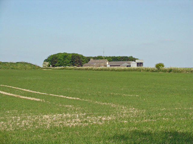 Photo could not load
ST9051 : White Horse Farm, Bratton
Dylan Moore
Hill facts and local notes
Classifications
Elevation
230m
755 ft
Prominence
108m
Coordinates
51.2593, -2.1431
ST901511
OS Map
184
Explorer: 143
At the Summit
At the summit, you'll find a prominent chalk horse figure carved into the hillside, known as the Uffington White Horse. There’s also a small stone marker.
Terrain & Geology
The hill is primarily composed of chalk, a sedimentary rock that supports diverse flora. Its chalky terrain is part of the North Wessex Downs Area of Outstanding Natural Beauty (AONB).
Views & Scenery
Distant views of the Thames Valley and the Berkshire Downs, with the iconic hill figure of the Uffington White Horse clearly visible.
History & Heritage
Name Origin
The name refers to the visible white chalk figure resembling a horse, indicative of ancient hill figures in Britain.
Historical Significance
The Uffington White Horse dates back to at least the late Bronze Age and is steeped in local folklore, symbolising the rich history of the area.
Getting There & Facilities
Check current local access restrictions, parking rules and transport timetables before travelling. These notes do not confirm public access to the summit.
Parking
There is limited parking available at the National Trust car park on the A417 near Uffington. Arrive early to avoid disappointment.
Public Transport
The nearest railway station is in Swindon, from where you can take a bus to Uffington village.
Nearby Facilities
There are no facilities directly on the hill; however, the village of Uffington has a small café and public toilets.
Safety Information
Known Hazards
- Care should be taken as the chalk can be slippery after rain; also, watch out for livestock in the fields.
General Safety Tips
- Check weather conditions before setting out
- Carry appropriate clothing and equipment
- Let someone know your planned route
- Take a map, compass, and GPS device
- Carry emergency supplies: food, water, first aid kit, torch
Hills
Some common questions about the hills answered
Are there group walks up White Horse Hill?
Many walkers use Walkmates to join or organise walks with others. You can check for group walks around White Horse Hill through the maps
Are there other walkers around White Horse Hill?
Activity varies by location and time, but Walkmates lets you see whether others have shared walks or shown interest in this area. Find other people through the walking friends search walking friends for White Horse Hill search or of course create your own walk for White Horse Hill
Can I organise a walk to White Horse Hill?
Yes. If there aren’t any walks listed already, you can create a walk and make it available for others to join.
If you're signed up to Walkmates, you can create a walk to White Horse Hill.
How do I find a walk up this hill?
There are often multiple ways to walk this hill, depending on experience and route preference. Walkmates helps you explore walks and routes that others have shared.
Can I suggest a new route up White Horse Hill?
Yes. You can suggest or create routes to share with others. Walkmates focuses on the social side of walking, so routes are used to help people organise walks and explore areas together, rather than as detailed navigation tools or route libraries.
Other uses really appreciate knowledgeable walkers sharing their routes. Share your favourite route to White Horse Hill here
The is an error or something incorrect about this hill. How do I let you know?
We always strive to keep the information on Walkmates as accurate as possible. If you find an error, please let us know through the contact form and we'll aim to correct it as quickly as possible
Community Discussion
Comments
Location
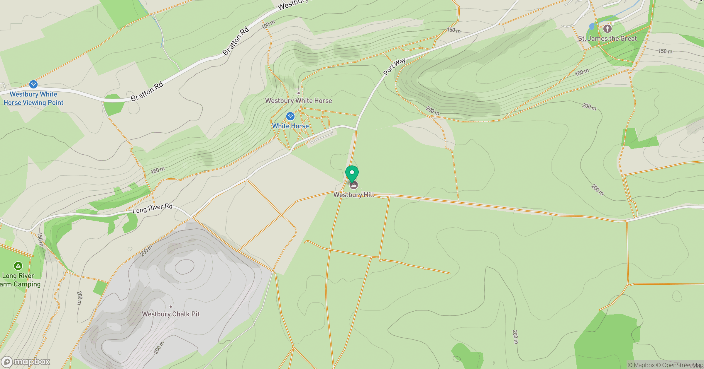
Grid reference: ST901511
View on OpenStreetMapOpens a map in a new tab, centred on the hill.
Hills within 30 km
Straight-line distance, not a walking route or confirmation of access.
No comments yet. Be the first.