
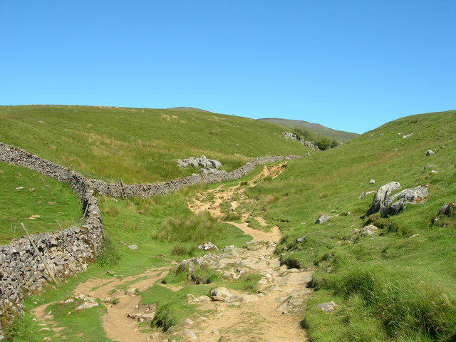
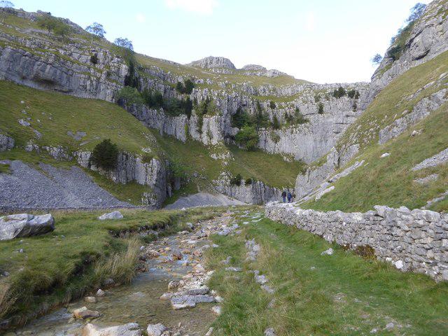
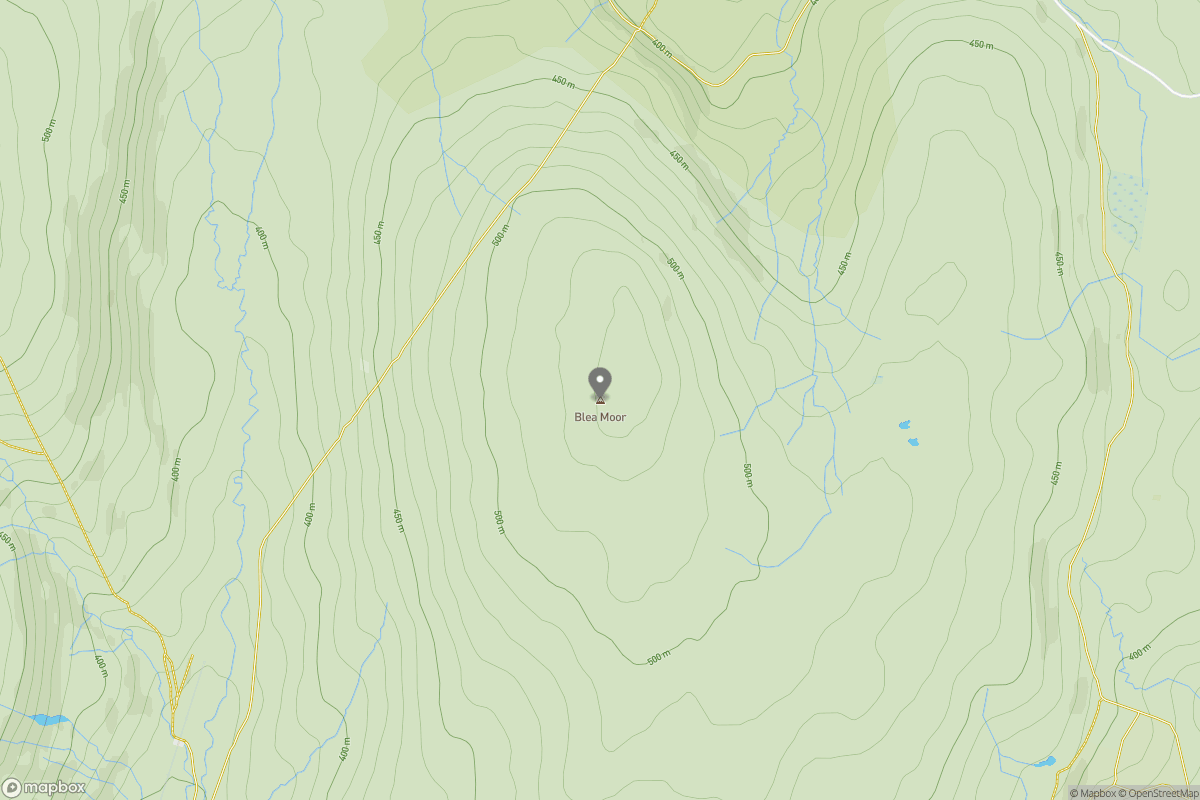
Upland / Hill
Circular
Hard
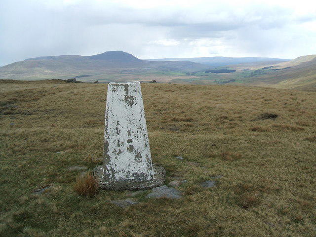
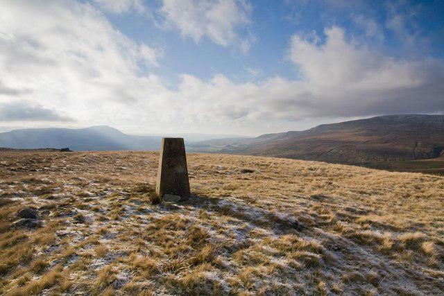
Pen-y-ghent from Horton in Ribbonsdale
PaulWalkmates
Walk organiser
No comments yet. Be the first.