

Cruinn a' Bheinn
Good walks are even better shared.
NN3605 : Chruinn a'Bheinn
johnalbiston Photo source
Overview
Cruinn a' Bheinn: The Round Mountain
Cruinn a' Bheinn is a stunning Munro standing proud at 933 meters in the heart of the Scottish Highlands. With its rocky cliffs and broad summit, it's a favourite amongst hikers looking for both beauty and a little bit of a challenge.
Geology
The mountain's rocky make-up primarily consists of granite and gneiss, giving it a robust structure that has resisted the ravages of time. As you hike, keep an eye out for fascinating rock formations that tell tales of the ancient landscape.
Routes
There are several routes to the summit of Cruinn a' Bheinn, catering to various skill levels. The most popular routes include:
- Via the North Ridge: Ideal for moderate hikers, this route is a treat for the eyes, with grassy slopes leading to a rocky ascent.
- West Ridge Circuit: For more adventurous souls, this circular route provides a challenge and stunning views that make every step worth it.
Summit Features
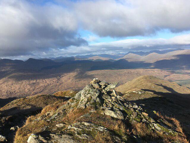
Upon reaching the summit, you'll be greeted by a substantial cairn and a view that stretches for miles. Don’t forget your camera – you’ll want to capture the breathtaking panorama of the surrounding Highlands!
Terrain
Expect a mixture of rocky and grassy terrain, with some boggy bits to keep you on your toes. Sturdy footwear is recommended, as the trails can be a tad slippery.
Views
The summit offers stunning views of Loch Creran and its neighbouring peaks, making it a photographer's paradise. Late spring and early autumn are particularly splendid times to experience these vistas.
Hazards
Be aware of loose stones and unpredictable weather. A little caution can go a long way in keeping your adventure enjoyable and safe!
Nearby Summits
Why not extend your adventure? Nearby, you’ll find other majestic mountains worth exploring like Ben Cruachan and Meall a' Bhuiridh.
Access
The easiest access is from the small parking area at NN360059, off the A828 road. Alternatively, public transport from Oban can drop you within walking distance.
Facilities
Before or after your hike, pop into Taynuilt for a cafe stop or to make use of their facilities. A well-fed hiker is a happy hiker!
History
With a name reflecting its smooth contour, Cruinn a' Bheinn is steeped in local folklore and is a beloved feature in the landscape. It connects hikers with stories of the past, enriching their experience on the mountain.
In conclusion, whether you’re looking for a serene day out or a bit of a workout, Cruinn a' Bheinn has something for everyone. So lace up those boots, grab your hiking stick, and enjoy the beauty of the Scottish Highlands. Safe hiking!
Explore routes near Cruinn a' Bheinn
Walks starting near this hill. Open a route to check its map, distance and full itinerary.
Ben Lomond in the trossachs
View route
The Cobbler from Succoth Carpark
View route
Beinn Ime from Succoth
View route
Loch Katrine: Brenachoile Point Shore Walk from Trossachs Pier
View route
Route planning notes
These notes describe possible approaches. Check a route's map and access information when planning your walk.
Via the North Ridge
A scenic approach that takes you along grassy slopes, eventually leading to a rocky ascent towards the summit.
West Ridge Circuit
A circular route that offers stunning views and a more challenging terrain, perfect for those looking to stretch their legs and their lungs!
Make a day of it, together
Find someone to share the walk with, or organise a day out along a route you like.
Photo Gallery
View all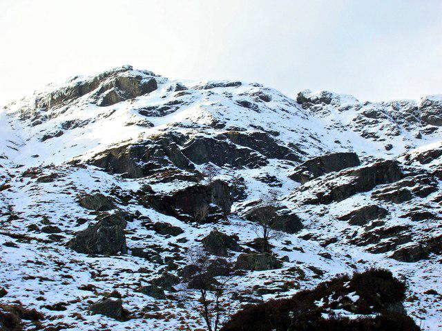 Photo could not load
NN3605 : Chruinn a'Bheinn
johnalbiston
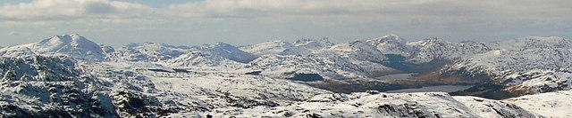 Photo could not load
NN3605 : Ben Lomond from Ben Ledi
Donald MacDonald
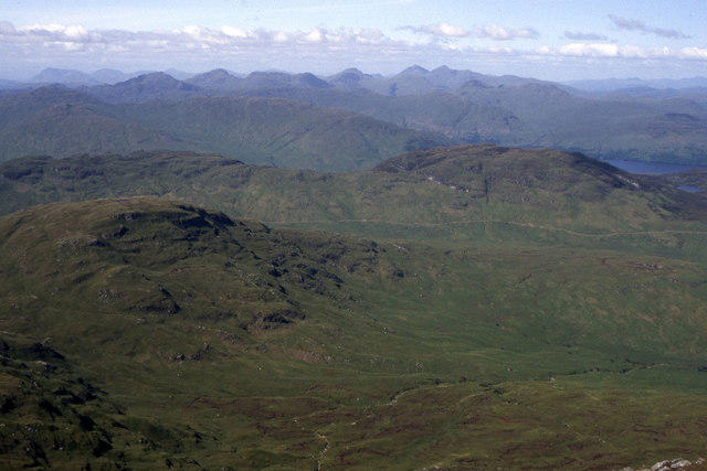 Photo could not load
NN3605 : Cruinn a' Bheinn as seen from the summit of Ben Lomond
Colin Park
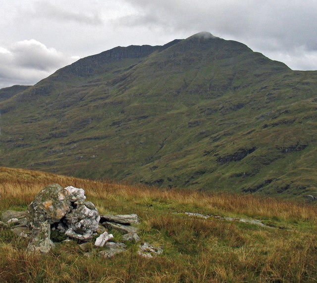 Photo could not load
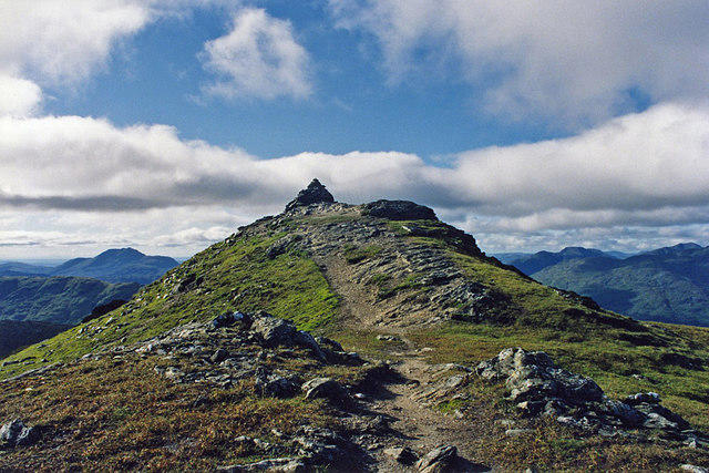
NN3605 : Summit cairn of Cruinn a' Bheinn
Trevor Littlewood
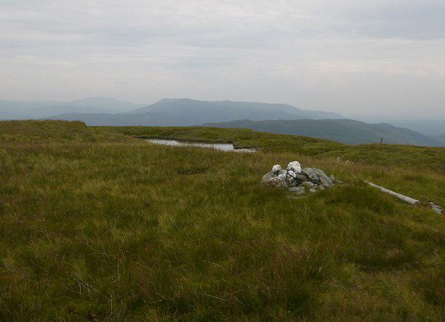 Photo could not load
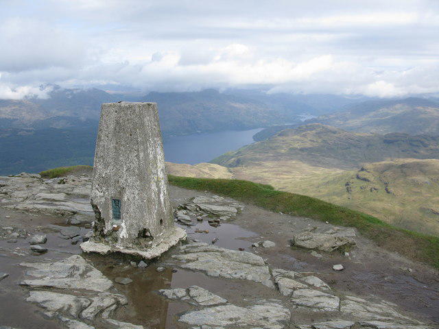
NN3605 : Summit of Cruinn a' Bheinn
Craig Wallace
Hill facts and local notes
Classifications
Elevation
632m
2,075 ft
Prominence
178m
Coordinates
56.2107, -4.6371
NN365051
OS Map
56
Explorer: OL39S 364S
At the Summit
The summit features a large cairn and a stunning panoramic view that will make you wish you had brought a picnic.
Terrain & Geology
Cruinn a' Bheinn is primarily composed of granite and gneiss, offering a glimpse into the ancient geological processes that have shaped the region over millions of years. The rugged rock formations are a testament to the dramatic forces at play beneath the Earth's crust.
Views & Scenery
From the summit, enjoy breathtaking views of Loch Creran, the neighbouring peaks of Benderloch, and on a clear day, even the distant islands of the Inner Hebrides.
History & Heritage
Name Origin
The name 'Cruinn a' Bheinn' translates from Gaelic to 'round mountain', a fitting title for its smooth summit contours.
Historical Significance
This mountain has a rich cultural background, linking local folklore and history, making it a cherished landmark for both locals and visitors.
Getting There & Facilities
Parking
There is a small parking area at NN360059, just off the A828 road. Arrive early to secure a spot, especially on weekends.
Public Transport
Buses operate from nearby Oban to different points in the region, though be prepared for some walking along the A828 to reach the trailhead.
Nearby Facilities
The nearest facilities, such as cafes and toilets, are located in Taynuilt. It's recommended to grab a bite before embarking on your adventure!
Safety Information
Known Hazards
- Loose stones on ascents, possible sudden weather changes, and boggy terrain in the lower areas. Make sure to check the forecast before heading out.
- Watch your step, as some areas are prone to slipping or tripping.
General Safety Tips
- Check weather conditions before setting out
- Carry appropriate clothing and equipment
- Let someone know your planned route
- Take a map, compass, and GPS device
- Carry emergency supplies: food, water, first aid kit, torch
Hills
Some common questions about the hills answered
Are there group walks up Cruinn a' Bheinn?
Many walkers use Walkmates to join or organise walks with others. You can check for group walks around Cruinn a' Bheinn through the maps
Are there other walkers around Cruinn a' Bheinn?
Activity varies by location and time, but Walkmates lets you see whether others have shared walks or shown interest in this area. Find other people through the walking friends search walking friends for Cruinn a' Bheinn search or of course create your own walk for Cruinn a' Bheinn
Can I organise a walk to Cruinn a' Bheinn?
Yes. If there aren’t any walks listed already, you can create a walk and make it available for others to join.
If you're signed up to Walkmates, you can create a walk to Cruinn a' Bheinn.
How do I find a walk up this hill?
There are often multiple ways to walk this hill, depending on experience and route preference. Walkmates helps you explore walks and routes that others have shared.
Can I suggest a new route up Cruinn a' Bheinn?
Yes. You can suggest or create routes to share with others. Walkmates focuses on the social side of walking, so routes are used to help people organise walks and explore areas together, rather than as detailed navigation tools or route libraries.
Other uses really appreciate knowledgeable walkers sharing their routes. Share your favourite route to Cruinn a' Bheinn here
The is an error or something incorrect about this hill. How do I let you know?
We always strive to keep the information on Walkmates as accurate as possible. If you find an error, please let us know through the contact form and we'll aim to correct it as quickly as possible
Community Discussion
Comments
Location
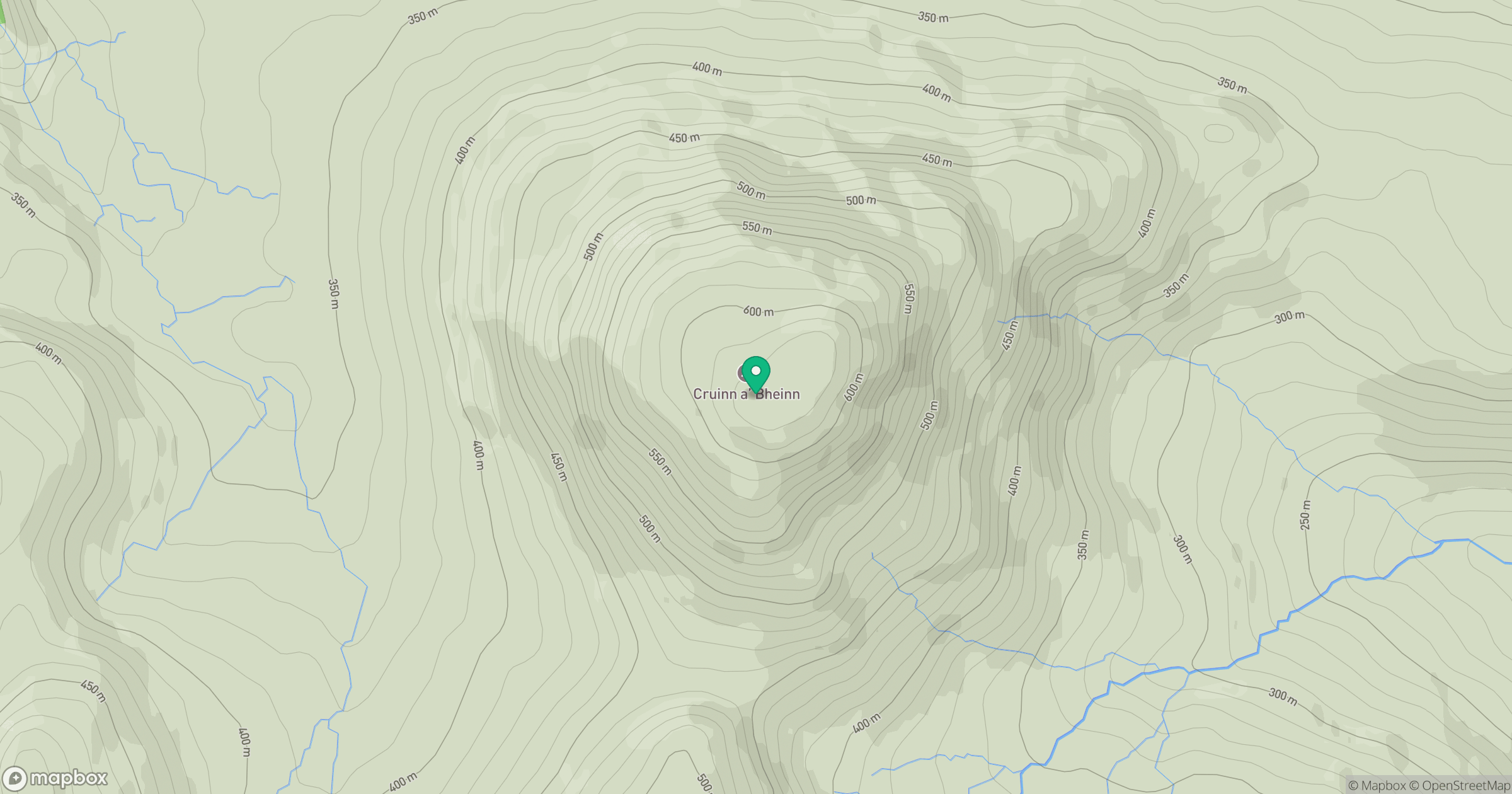
Grid reference: NN365051
View on OpenStreetMapOpens a map in a new tab, centred on the hill.
No comments yet. Be the first.