

Craigdews Hill
Good walks are even better shared.
Overview
Craigdews Hill
Craigdews Hill, standing proudly at 435 meters, offers hikers a delightful experience with its vibrant scenery and rich geological history. This Marilyn is nestled within the Southern Uplands of Scotland, where every step is a step back in time, as you tread on ancient seabeds formed billions of years ago.
Geology
The hill is primarily made up of Silurian mudstones and sandstones, giving it a solid and dependable base for eager feet. These geological treasures are not just for the geologists among us; they provide a unique perspective on the Earth's history. Be on the lookout for fossils embedded in the rocks, a little reminder of the ancient life nestled within!
Routes
The most popular route is the Craigdews Hill Circuit, commencing from Creetown. This moderate 8.5 km trek will take around 3.5 hours, depending on how quickly you can resist the temptation to stop for an impromptu picnic.
Summit Features
Upon reaching the summit, you are greeted with a charming cairn, lovingly constructed by previous adventurers. It serves not only as a milestone for hikers but also provides a stunning vista that will render you speechless – if only for a moment!
Terrain Type
Expect grassy slopes with the occasional rocky outcrop. This varied terrain is a refreshing change from the monotonous flats and adds a bit of spice to your trek.
Views
Oh, the views! On clear days, prepare to be treated to spectacular sights of the Galloway Hills, Solway Firth, and even the distant Isle of Man. Late spring and early autumn are the best seasons for these views, when the landscape is kissed by wildflowers and painted in hues of gold and red.
Hazards
A fair warning: the paths can become slippery after rain, and the ever-changing Scottish weather can catch you off guard. Always carry appropriate gear and keep an eye on the sky!
Nearby Summits
While Craigdews is a gem on its own, consider visiting nearby summits such as Glenhead Hill (498 m) and the impressive Merrick (843 m). Exploring the surrounding hills can turn this hike into an adventurous day out!
Access
The nearest parking is conveniently located near Creetown, just a short 2 km walk to your adventure. Well-connected by public transport, local buses run from larger towns to Creetown, offering a hassle-free journey.
Facilities
Once you finish your hike, retreat back to Creetown for a well-deserved coffee at the local café or grab some snacks from nearby shops. Public toilets can be found near the village green for your convenience.
History
The name Craigdews translates to 'Black Rock', a nod to the striking volcanic rocks you've likely noticed during your ascent. This hill isn't just a pretty face; it has significant cultural importance, woven into the local folklore and tales.
Grab your gear, lace up those boots, and set off for Craigdews Hill – where adventure meets history in the heart of the Southern Uplands!
Happy hiking!
Explore routes near Craigdews Hill
Public walks starting within 80 km of this hill. Nearby does not mean a route reaches the summit; check its map and access before setting out.
Kirroughtree Little Bruntis Lochs and Woodland Trail
View route
Knockman Wood Cairn and Woodland Trail
View route
Wood of Cree Waterfalls and Scrubland Circuit
View route
Loch Trool: Full Loch and Oak Woodland Circuit
View route
Route planning notes
These notes describe possible approaches, not verified navigable routes or permission to cross land. Check current paths, local access rules and conditions before setting out.
Craigdews Hill Circuit
A scenic circuit starting from the nearby village of Creetown, offering a mix of hills and valleys.
Make a day of it, together
Find someone to share the walk with, or organise a day out along a route you like.
Photo Gallery
View all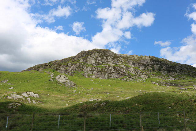 Photo could not load
NX4972 : Wild Goat Park in Sunshine
Billy McCrorie
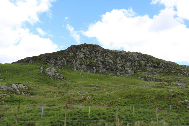 Photo could not load
NX4972 : Wild Goat Park
Billy McCrorie
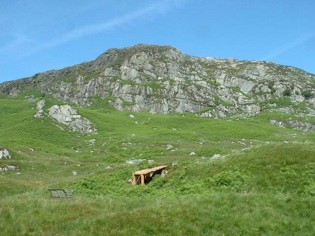 Photo could not load
NX4972 : Craigdews Crag
David Medcalf
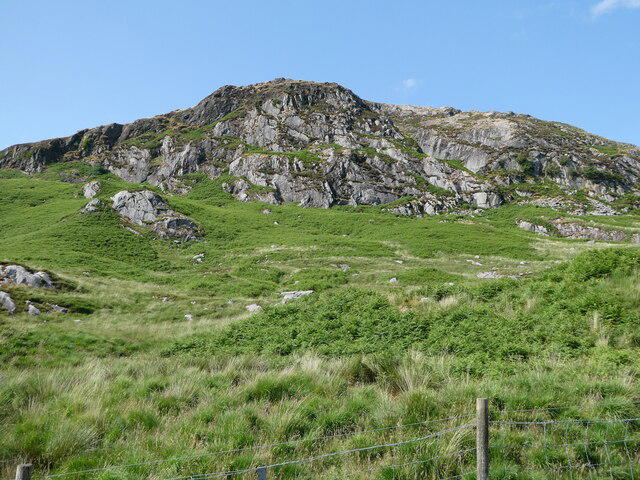 Photo could not load
NX4972 : Craigdews Hill
Billy McCrorie
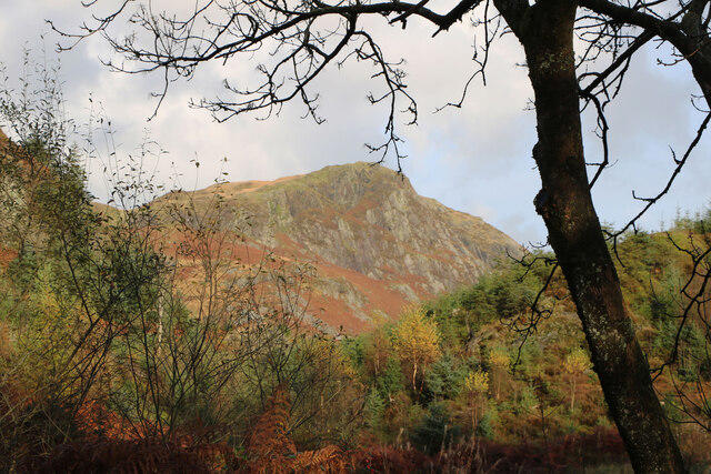 Photo could not load
NX4972 : Craigdews Hill
Billy McCrorie
Hill facts and local notes
Classifications
Elevation
269m
883 ft
Prominence
104m
Coordinates
55.0222, -4.3540
NX496722
OS Map
77
Explorer: 319
At the Summit
The summit of Craigdews Hill features a modest cairn built by fellow hikers as a tribute to those who have ascended. It also boasts a stunning panorama of the Southern Uplands.
Terrain & Geology
Craigdews Hill is primarily composed of Silurian mudstones and sandstones, which provide a stable footing for hikers and an interesting insight into the geological history of the region. The sloping terrain reveals layers of ancient seabeds, perfect for geology enthusiasts.
Views & Scenery
From the summit, hikers can enjoy breathtaking views of the Galloway Hills, the Solway Firth, and on a clear day, the Isle of Man appears like a mirage on the horizon.
History & Heritage
Name Origin
The name "Craigdews" is derived from the Scottish Gaelic 'Creag Dhubh', meaning 'Black Rock', describing the dark volcanic rocks found in the area.
Historical Significance
The hill is a beloved local landmark and has featured in many folklore stories, often associated with the spirits of the land.
Getting There & Facilities
Check current local access restrictions, parking rules and transport timetables before travelling. These notes do not confirm public access to the summit.
Parking
There is a small parking area near the village of Creetown, approximately 2 km from the starting point of the route.
Public Transport
Buses regularly run from larger towns like Newton Stewart to Creetown. Check local schedules to plan your visit.
Nearby Facilities
Creetown has a small café and local shops. Public toilets are available near the village green.
Safety Information
Known Hazards
- Wet and slippery conditions after rain, potential for sudden weather changes, and visibility can be significantly reduced in fog.
General Safety Tips
- Check weather conditions before setting out
- Carry appropriate clothing and equipment
- Let someone know your planned route
- Take a map, compass, and GPS device
- Carry emergency supplies: food, water, first aid kit, torch
Hills
Some common questions about the hills answered
Are there group walks up Craigdews Hill?
Many walkers use Walkmates to join or organise walks with others. You can check for group walks around Craigdews Hill through the maps
Are there other walkers around Craigdews Hill?
Activity varies by location and time, but Walkmates lets you see whether others have shared walks or shown interest in this area. Find other people through the walking friends search walking friends for Craigdews Hill search or of course create your own walk for Craigdews Hill
Can I organise a walk to Craigdews Hill?
Yes. If there aren’t any walks listed already, you can create a walk and make it available for others to join.
If you're signed up to Walkmates, you can create a walk to Craigdews Hill.
How do I find a walk up this hill?
There are often multiple ways to walk this hill, depending on experience and route preference. Walkmates helps you explore walks and routes that others have shared.
Can I suggest a new route up Craigdews Hill?
Yes. You can suggest or create routes to share with others. Walkmates focuses on the social side of walking, so routes are used to help people organise walks and explore areas together, rather than as detailed navigation tools or route libraries.
Other uses really appreciate knowledgeable walkers sharing their routes. Share your favourite route to Craigdews Hill here
The is an error or something incorrect about this hill. How do I let you know?
We always strive to keep the information on Walkmates as accurate as possible. If you find an error, please let us know through the contact form and we'll aim to correct it as quickly as possible
Community Discussion
Comments
Location
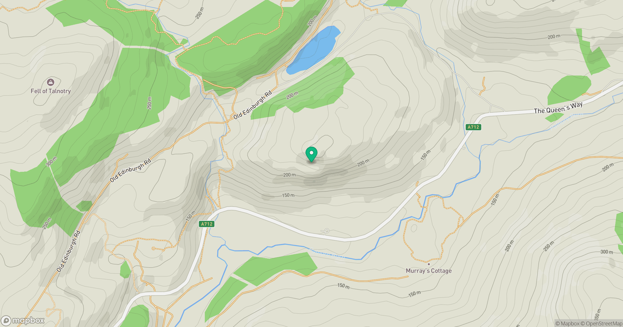
Grid reference: NX496722
View on OpenStreetMapOpens a map in a new tab, centred on the hill.
Hills within 30 km
Straight-line distance, not a walking route or confirmation of access.
No comments yet. Be the first.