

Meikle Millyea
Good walks are even better shared.
Overview
Meikle Millyea
Nestled in the Southern Uplands of Scotland, Meikle Millyea stands at a proud elevation of 740 meters. Recognised as a Marilyn, it offers a delightful challenge for walkers and an ideal location for those wanting a taste of the Scottish outdoors.
Geology
Meikle Millyea features rocky outcrops and grassy fields, crafted by the elements from the Upper Old Red Sandstone. Glacial processes have shaped its ridges, providing a delightful mix of terrain that will put a spring in your step!
Routes
The most popular route starts from Caerlaverock, covering a distance of approximately 10.5 km and taking around 3.5 hours. The trail meanders through picturesque landscapes and occasionally forays into exciting rocky patches – think of it as nature's obstacle course.
Summit Features
Once you reach the summit, you'll find a stone cairn that proudly marks your achievement. It's a great spot for a celebratory snack or to plot your next adventure.
Terrain Type
Expect a mix of grassy pathways and rocky outcrops. This trek is ideal for those with a good pair of walking boots and a sense of adventure!
Views
The panoramic views from the top are simply breath-taking. On a clear day, the Solway Firth sparkles below, and to the north, you’ll spot the majestic Criffel, while the distant hills of the Lake District beckon.
Hazards
While there are no extreme danger signs, always be aware that the weather can change quicker than a cat can pounce! Ensure you have proper gear to handle the elements.
Access
You can park your car at a convenient spot in Caerlaverock, and if you fancy a pint or two afterwards, the closest town is Dumfries, just a short drive away. Public transport options from Dumfries make reaching the trailhead hassle-free.
Facilities
After your adventure, why not warm up with a cup of tea or a bite to eat in Dumfries? There’s plenty of local cafes ready to welcome you back from your hiking exploits.
History
The name 'Meikle Millyea' translates to 'bare hill,' a fitting description for its summit. It's a significant landmark in local culture, often frequented by walkers eager to connect with Scotland's natural beauty.
Hiking Meikle Millyea isn’t just a walk; it’s an experience! So lace up your boots, grab your walking stick and get ready to enjoy all that this stunning hill has to offer.
Happy Hiking!
Explore routes near Meikle Millyea
Public walks starting within 80 km of this hill. Nearby does not mean a route reaches the summit; check its map and access before setting out.
Loch Trool: Full Loch and Oak Woodland Circuit
View route
Glentrool Water of Trool and Spout Head Trail
View route
Carrick Forest Drive: Stinchar Bridge to Loch Doon
View route
Wood of Cree Waterfalls and Scrubland Circuit
View route
Route planning notes
These notes describe possible approaches, not verified navigable routes or permission to cross land. Check current paths, local access rules and conditions before setting out.
Caerlaverock to Meikle Millyea
A scenic route starting from Caerlaverock that takes you through lush landscapes and winding paths towards the summit.
Make a day of it, together
Find someone to share the walk with, or organise a day out along a route you like.
Photo Gallery
View all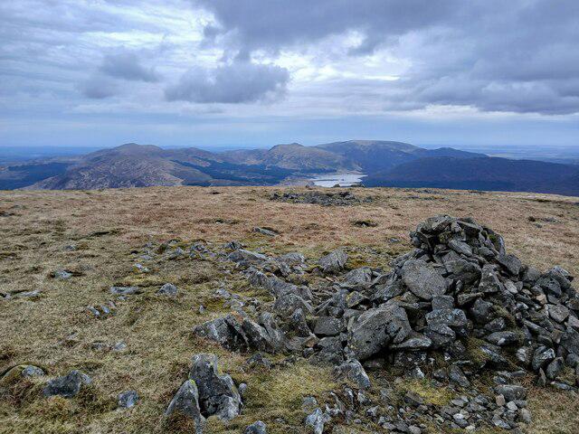 Photo could not load
NX5182 : Loch Dee from Meikle Millyea
David Robertson
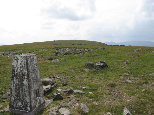 Photo could not load
NX5182 : Trig point S8292 near the summit of Meikle Millyea
Chris Wimbush
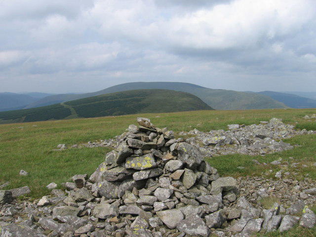 Photo could not load
NX5182 : Summit cairn of Meikle Millyea looking towards Milldown
Chris Wimbush
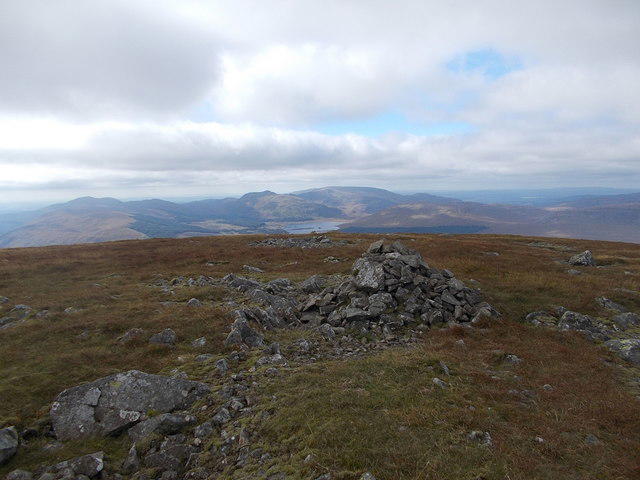 Photo could not load
NX5182 : Southern top of Meikle Millyea
Iain Russell
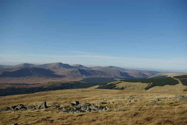 Photo could not load
NX5182 : View from Meikle Millyea
Leslie Barrie
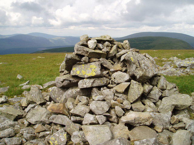 Photo could not load
NX5182 : Cairn on Meikle Millyea
Bob Peace
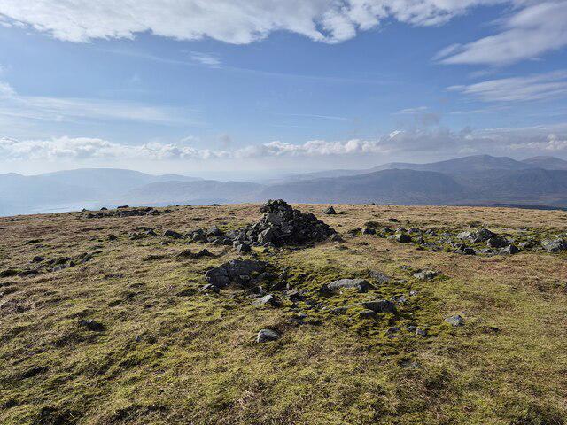 Photo could not load
NX5182 : Cairn on Meikle Millyea
Steven Brown
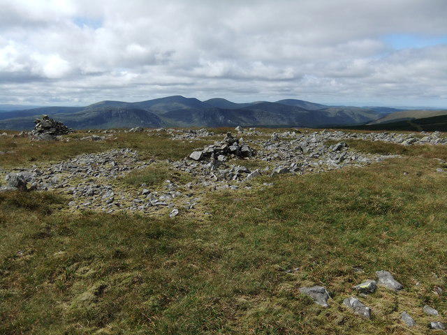 Photo could not load
NX5182 : Summit cairns Meikle Millyea
David Brown
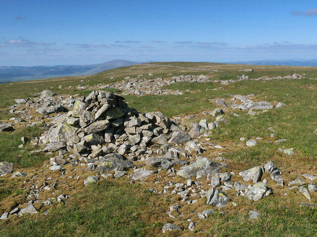 Photo could not load
NX5182 : The summits of Meikle Millyea
wrobison
Hill facts and local notes
Classifications
Elevation
749m
2,456 ft
Prominence
121m
Coordinates
55.1151, -4.3280
NX516825
OS Map
77
Explorer: 318
At the Summit
At the summit, you will find a traditional stone cairn, a great spot for a selfie or perhaps a dramatic pose for Instagram.
Terrain & Geology
The mountain primarily consists of sediments from the Upper Old Red Sandstone, shaped by glacial activity, resulting in a varied topography of rolling hills and rugged outcrops.
Views & Scenery
From the summit, you can see the Solway Firth, the Criffel to the north, and on clear days, the hills of the Lake District in the distance.
History & Heritage
Name Origin
The name 'Millyea' is thought to derive from the Gaelic 'Maolmheadha', which means 'bare hill', reflecting the exposed nature of its summit.
Historical Significance
Meikle Millyea is not just a hill; it’s a cherished spot for local walkers, providing a great way to experience the natural beauty and wildlife of the Southern Uplands.
Getting There & Facilities
Check current local access restrictions, parking rules and transport timetables before travelling. These notes do not confirm public access to the summit.
Parking
There is a small car park at the start of the route in Caerlaverock, allowing easy access to the trailhead.
Public Transport
Buses from Dumfries run regularly to Caerlaverock; check local schedules for the latest information.
Nearby Facilities
While there are no facilities directly on the mountain, Dumfries offers various cafes and shops to stock up on supplies or enjoy a warm meal after your hike.
Safety Information
Known Hazards
- Weather can change rapidly, so be prepared for sudden rain or strong winds. The terrain can be slippery when wet, so good footwear is recommended.
General Safety Tips
- Check weather conditions before setting out
- Carry appropriate clothing and equipment
- Let someone know your planned route
- Take a map, compass, and GPS device
- Carry emergency supplies: food, water, first aid kit, torch
Hills
Some common questions about the hills answered
Are there group walks up Meikle Millyea?
Many walkers use Walkmates to join or organise walks with others. You can check for group walks around Meikle Millyea through the maps
Are there other walkers around Meikle Millyea?
Activity varies by location and time, but Walkmates lets you see whether others have shared walks or shown interest in this area. Find other people through the walking friends search walking friends for Meikle Millyea search or of course create your own walk for Meikle Millyea
Can I organise a walk to Meikle Millyea?
Yes. If there aren’t any walks listed already, you can create a walk and make it available for others to join.
If you're signed up to Walkmates, you can create a walk to Meikle Millyea.
How do I find a walk up this hill?
There are often multiple ways to walk this hill, depending on experience and route preference. Walkmates helps you explore walks and routes that others have shared.
Can I suggest a new route up Meikle Millyea?
Yes. You can suggest or create routes to share with others. Walkmates focuses on the social side of walking, so routes are used to help people organise walks and explore areas together, rather than as detailed navigation tools or route libraries.
Other uses really appreciate knowledgeable walkers sharing their routes. Share your favourite route to Meikle Millyea here
The is an error or something incorrect about this hill. How do I let you know?
We always strive to keep the information on Walkmates as accurate as possible. If you find an error, please let us know through the contact form and we'll aim to correct it as quickly as possible
Community Discussion
Comments
Location
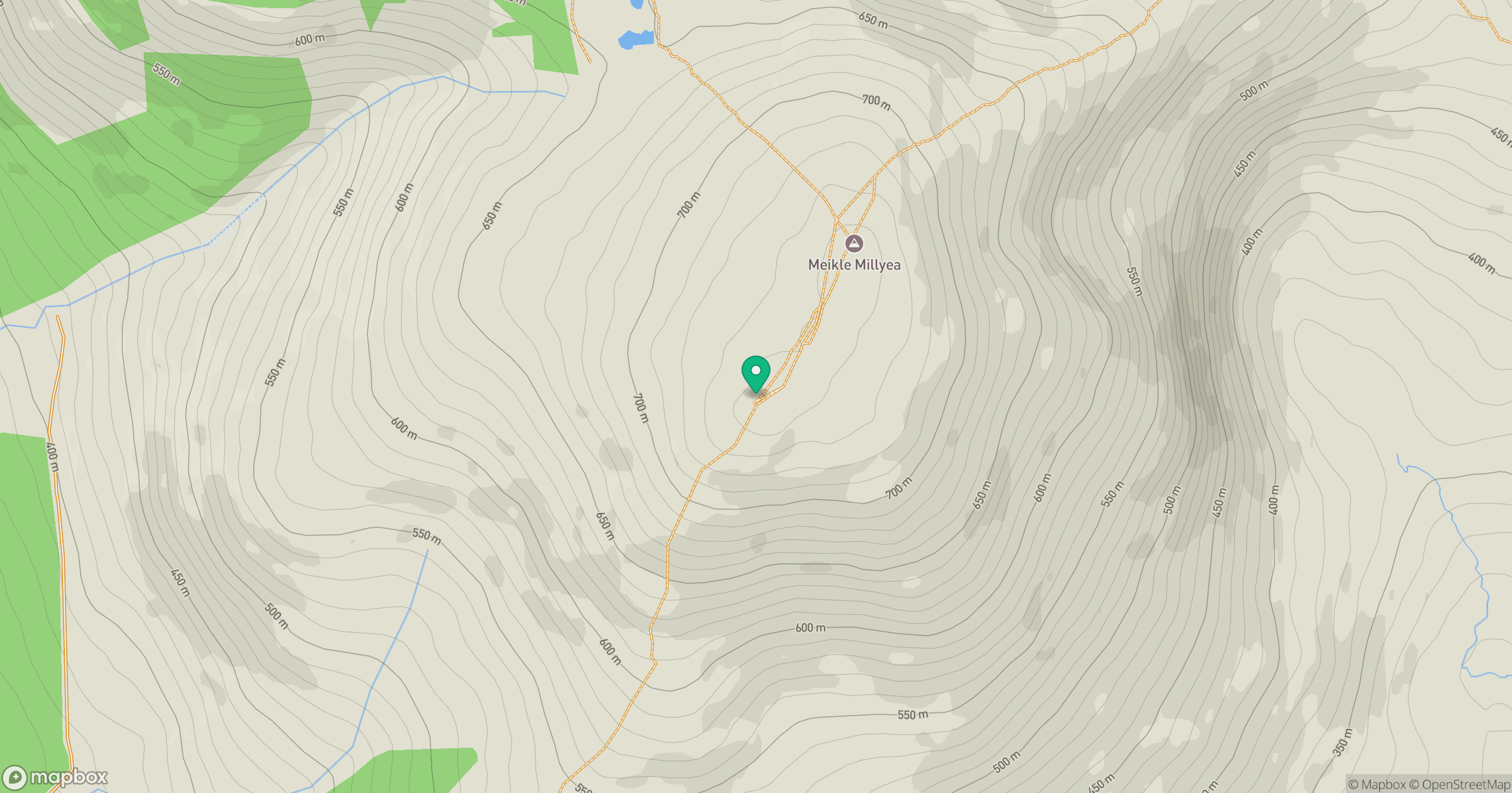
Grid reference: NX516825
View on OpenStreetMapOpens a map in a new tab, centred on the hill.
Hills within 30 km
Straight-line distance, not a walking route or confirmation of access.
No comments yet. Be the first.