

Carn Loch na Gobhlaig
Good walks are even better shared.
Overview
Carn Loch na Gobhlaig
Set in the stunning Scottish Highlands, Carn Loch na Gobhlaig stands proudly at an elevation of 815 meters. Known for its picturesque views and varied terrain, this Munro is a must-visit for any serious hiker or outdoor enthusiast.
Geology
The mountain is primarily formed from ancient schist and granitic structures, showcasing the incredible geological evolution of the Highlands. As you ascend, keep an eye out for unique rock formations and ancient strata that tell the tale of the Earth's history.
Routes
The most popular route to the summit is the Loch na Gobhlaig Circuit. It's a moderate 10.5 km trek, which will take around 4.5 hours to complete. This circular route offers stunning views and a chance to appreciate the serene surroundings. Just be sure your boots are suited for the job; those boggy patches can be as tricky as a cat on a hot tin roof!
Summit Features
Upon reaching the summit, hikers are greeted by a modest cairn, a common sight on Scottish peaks, symbolising both a navigational aid and a place of reflection. The area is well-known for photographers seeking that perfect shot, with breathtaking panoramas at every turn.
Terrain Type
The terrain varies from gentle grassy slopes to rocky outcrops, making for an engaging hike. However, don’t let the lush greenery fool you; bogs can sneak up on you like that last biscuit in the tin — unexpected!
Views
From the summit, a glorious vista unfolds. Dozens of surrounding peaks, the shimmering waters of Loch Ness, and expansive heather-covered valleys stretch out below. For the best views, aim for late spring or early autumn when the light dances across the landscape, giving it that postcard-perfect quality.
Hazards
Always be prepared for the unpredictable Scottish weather; it can change faster than you can say 'Bob's your uncle'. Ensure you're equipped with waterproof gear and a good compass. Watch your step on the rocky sections and avoid those hidden bogs like a proverbial plague.
Nearby Summits
If you're feeling adventurous, consider climbing nearby summits like Carn Dearg (900 meters) and Braeroy (740 meters) for additional challenges and stunning views.
Access
The nearest parking is at Loch na Gobhlaig, where space is limited but adequate for a few cars. If public transport is more your style, the closest bus routes connect through Fort Augustus — though they run with the frequency of a Scottish summer shower!
Facilities
After your hike, you’ll find that Fort Augustus springs to life with cafes offering a warm cuppa and a slice of cake. You'll also find public toilets, so there’s no need for improvisation behind a bush.
History
The etymology of 'Carn Loch na Gobhlaig' reflects the rich tapestry of local Gaelic history, signifying its deep-rooted significance in the culture of the Highlands. It’s a reminder of the ancient paths that were trodden long before us.
In conclusion, a visit to Carn Loch na Gobhlaig is not just a hike; it's an adventure through time and nature that will leave you with memories to cherish and a few funny stories to tell.
Happy hiking!
Explore routes near Carn Loch na Gobhlaig
Public walks starting within 80 km of this hill. Nearby does not mean a route reaches the summit; check its map and access before setting out.
Glen Affric: Coire Loch Woodland Trail
View route
Loch Affric full circuit from River Affric
View route
Great Glen Way low route: Fort Augustus to Invermoriston Old Bridge
View route
Fort Augustus to Kytra Lock: Caledonian Canal Towpath
View route
Route planning notes
These notes describe possible approaches, not verified navigable routes or permission to cross land. Check current paths, local access rules and conditions before setting out.
Loch na Gobhlaig Circuit
A popular circular route starting at the nearby Loch na Gobhlaig, taking in scenic views and gentle gradients, perfect for a leisurely day out.
Make a day of it, together
Find someone to share the walk with, or organise a day out along a route you like.
Photo Gallery
View all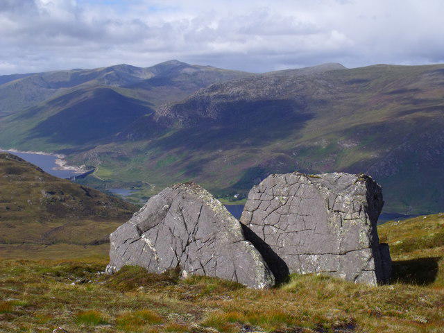 Photo could not load
NH2530 : Scarred erratics above Glen Cannich, Inverness
ian shiell
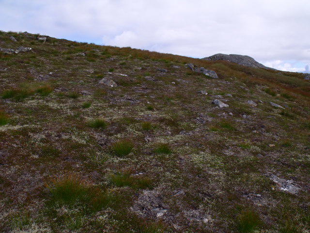 Photo could not load
NH2530 : South ridge of Carn Loch na Gobhlaig above Glen Affric
ian shiell
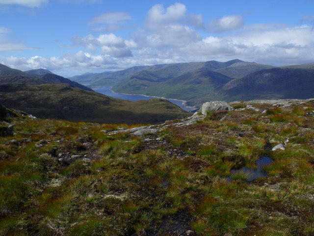 Photo could not load
NH2530 : Edge of summit ridge of Carn Loch na Gobhlaig above Glen Cannich, Inverness
ian shiell
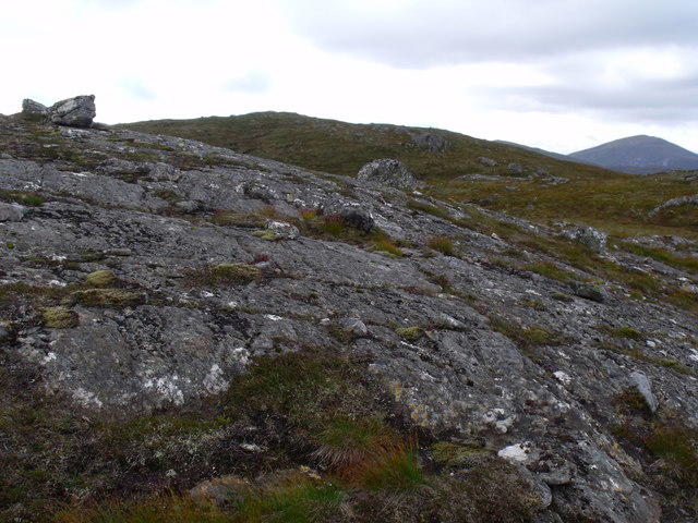 Photo could not load
NH2530 : Carn Loch na Gobhlaig above Glen Cannich, Inverness
ian shiell
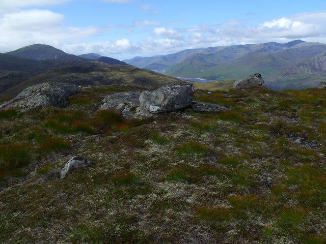 Photo could not load
NH2530 : Top of Carn Loch na Gobhlaig looking west over Glen Cannich, Inverness
ian shiell
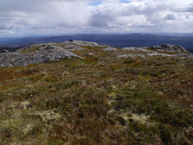 Photo could not load
NH2530 : The top of Carn Loch na Gobhlaig above Glen Affric looking south-east
ian shiell
Hill facts and local notes
Classifications
Elevation
716m
2,349 ft
Prominence
143m
Coordinates
57.3285, -4.8964
NH257301
OS Map
25
Explorer: 415 430
At the Summit
The summit features a small cairn and offers a fantastic vantage point for photographers and nature lovers alike.
Terrain & Geology
Carn Loch na Gobhlaig is primarily composed of schist and granitic rock, typical of the Scottish Highlands, offering a fascinating insight into the geological history of the area with ancient formations dating back millions of years.
Views & Scenery
From the summit, you can see the shimmering waters of Loch Ness in the distance, as well as the rolling hills of the Great Glen.
History & Heritage
Name Origin
The name 'Carn Loch na Gobhlaig' translates roughly to 'Hill of the loch of the Goblaig', which is rooted in local Gaelic history.
Historical Significance
This area holds significant historical importance, with ancient pathways crisscrossing the hills used by generations of climbers and locals.
Getting There & Facilities
Check current local access restrictions, parking rules and transport timetables before travelling. These notes do not confirm public access to the summit.
Parking
There is a small parking area at the start of the Loch na Gobhlaig Circuit, accommodating roughly 10-15 cars.
Public Transport
The nearest public transport access point is near Fort Augustus, with limited bus services connecting to various points in the Highlands.
Nearby Facilities
Fort Augustus has several cafes and shops, public toilets, and other amenities for visitors to refuel after their hike.
Safety Information
Known Hazards
- Be cautious of sudden weather changes which can bring fog, rain, and high winds even in summer. Also, watch for boggy ground, particularly after rainfall.
General Safety Tips
- Check weather conditions before setting out
- Carry appropriate clothing and equipment
- Let someone know your planned route
- Take a map, compass, and GPS device
- Carry emergency supplies: food, water, first aid kit, torch
Hills
Some common questions about the hills answered
Are there group walks up Carn Loch na Gobhlaig?
Many walkers use Walkmates to join or organise walks with others. You can check for group walks around Carn Loch na Gobhlaig through the maps
Are there other walkers around Carn Loch na Gobhlaig?
Activity varies by location and time, but Walkmates lets you see whether others have shared walks or shown interest in this area. Find other people through the walking friends search walking friends for Carn Loch na Gobhlaig search or of course create your own walk for Carn Loch na Gobhlaig
Can I organise a walk to Carn Loch na Gobhlaig?
Yes. If there aren’t any walks listed already, you can create a walk and make it available for others to join.
If you're signed up to Walkmates, you can create a walk to Carn Loch na Gobhlaig.
How do I find a walk up this hill?
There are often multiple ways to walk this hill, depending on experience and route preference. Walkmates helps you explore walks and routes that others have shared.
Can I suggest a new route up Carn Loch na Gobhlaig?
Yes. You can suggest or create routes to share with others. Walkmates focuses on the social side of walking, so routes are used to help people organise walks and explore areas together, rather than as detailed navigation tools or route libraries.
Other uses really appreciate knowledgeable walkers sharing their routes. Share your favourite route to Carn Loch na Gobhlaig here
The is an error or something incorrect about this hill. How do I let you know?
We always strive to keep the information on Walkmates as accurate as possible. If you find an error, please let us know through the contact form and we'll aim to correct it as quickly as possible
Community Discussion
Comments
Location
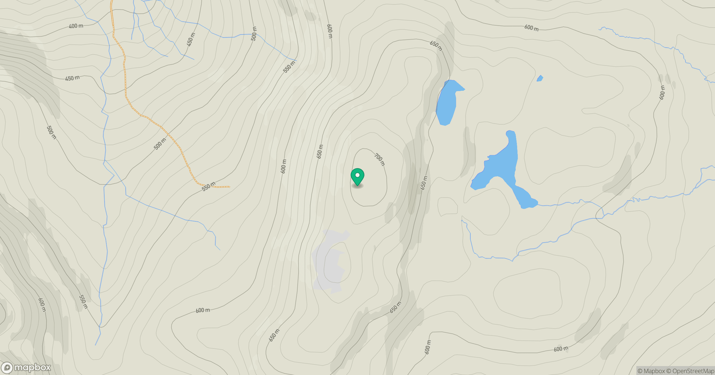
Grid reference: NH257301
View on OpenStreetMapOpens a map in a new tab, centred on the hill.
Hills within 30 km
Straight-line distance, not a walking route or confirmation of access.
Sgurr a' Choire Ghlais
1,084m
Carn Eighe
1,183m
Mam Sodhail
1,179m
Cul Mor
393m
Beinn Mheadhoin
541m
No comments yet. Be the first.