
Boulston Hill
Good walks are even better shared.
Overview
Boulston Hill: A Hidden Gem in South Wales
Nestled just a stone's throw from Haverfordwest, Boulston Hill might not be the highest peak in the region, but it certainly packs a punch when it comes to scenic views and a satisfying hike. At 130 meters elevation, this Marilyn is ideal for a brisk walk or a leisurely afternoon outing.
Geology
This charming hill is primarily composed of ancient sedimentary rocks, including mudstones and sandstones, a testament to the prehistoric oceans that once lapped at its feet. These intriguing geological features provide not only a backdrop for your hike but also a slice of geological history.
Routes
The most popular route is the Boulston Hill Circular Route, covering approximately 4.5 km. The walk meanders through stunning woodlands dotted with wildlife, leading to the summit where you can catch your breath and soak in the breathtaking views. Expect to spend about 1.5 hours on this moderate trek. It's not exactly Everest, but don’t underestimate the serenity it offers!
Summit Features
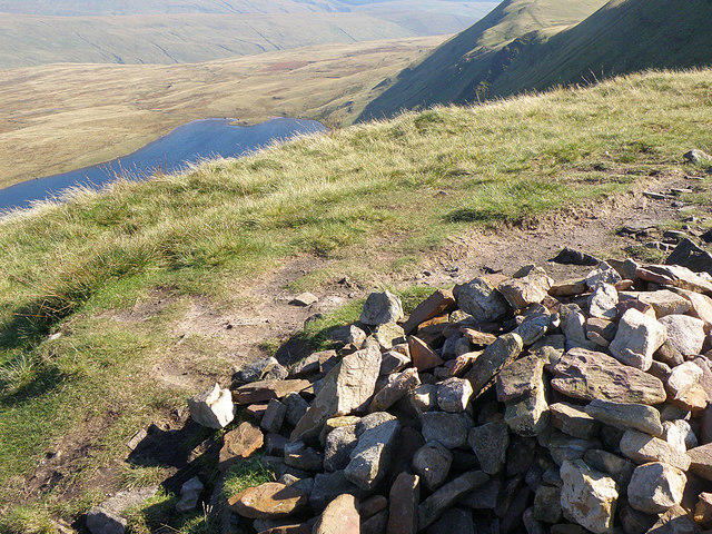
At the summit, you’ll find a quaint stone cairn — perfect for those obligatory summit selfies! The views? Simply marvellous. Gaze out towards the distant Preseli Hills and the verdant valleys that unfold below you, particularly stunning during sunset.
Terrain Type
The terrain is predominantly grassy with some rocky patches, making for a pleasant walk, although caution is advised after rain — slipping is not the kind of thrill you want!
Views
On clear days, the vista includes the beautiful Glens of Pembrokeshire, so don’t forget your camera. The best seasons for viewing this stunning landscape are spring and early summer. It’s also when wildflowers are in bloom, adding a splash of colour to your adventure!
Access
Finding Boulston Hill is straightforward. The nearest parking is available in Boulston village, and it’s advised to arrive early as spaces are quite limited. The public transport options aren’t robust, but the village is only about 4 miles from Haverfordwest, making for a manageable walk or bike ride if you're feeling adventurous.
Facilities
While there aren’t facilities on the hill itself, Haverfordwest has a handful of cafés and shops to replenish your energy after your hike. Your taste buds will thank you!
History
As for its name, 'Boulston' likely derives from 'Bwlch', signifying its navigable terrain over the hills. Historically, it’s been a gathering point for locals, rife with folklore and tales of yesteryear.
So, lace up your hiking boots, grab a friend or two, and enjoy all that Boulston Hill has to offer. It’s a delightful escape for both seasoned hikers and those just looking for a gentle jaunt into nature's embrace.
Happy hiking!
Explore routes near Boulston Hill
Walks starting near this hill. Open a route to check its map, distance and full itinerary.
Neyland to Johnston: Brunel and Westfield Railway Trail
View route
Stackpole Estate: Bosherston Lily Ponds and Lodge Park Woodland Circuit
View route
Abergwili to Nantgaredig: Tywi Valley Path out and back
View route
Gower winter wildlife and birdwatching walk
View route
Route planning notes
These notes describe possible approaches. Check a route's map and access information when planning your walk.
Boulston Hill Circular Route
A scenic circular route starting from the village of Boulston, taking you through lush woodlands and fields before the final ascent to the summit.
Make a day of it, together
Find someone to share the walk with, or organise a day out along a route you like.
Hill facts and local notes
Classifications
Elevation
54m
177 ft
Prominence
31m
Coordinates
51.7815, -4.9301
SM979132
OS Map
157 158
Explorer: OL36W
At the Summit
The summit is marked by a small stone cairn and offers a stunning view across the surrounding countryside.
Terrain & Geology
Boulston Hill primarily consists of sedimentary rocks characteristic of South Wales, featuring largely mudstones and sandstones. This geological composition is the result of ancient sea deposits dating back millions of years.
Views & Scenery
On a clear day, you can gaze upon the Glens of Pembrokeshire and the distant Preseli Hills.
History & Heritage
Name Origin
The name 'Boulston' is believed to derive from 'Bwlch' meaning a gap or pass, hinting at its navigable terrain.
Historical Significance
The hill and surrounding areas have been used for centuries, both for agriculture and as a lookout point, and hold local folklore.
Getting There & Facilities
Parking
There is on-street parking available in Boulston village, but it's wise to arrive early as spots can fill up quickly.
Public Transport
Public transport options are limited; the nearest bus route services Haverfordwest, approximately 4 miles away, from where you would need to walk or cycle.
Nearby Facilities
There are a few cafes and shops in Haverfordwest, but no facilities directly on the hill itself.
Safety Information
Known Hazards
- Care should be taken as the terrain can be slippery after rain, and the weather can change rapidly in this region.
General Safety Tips
- Check weather conditions before setting out
- Carry appropriate clothing and equipment
- Let someone know your planned route
- Take a map, compass, and GPS device
- Carry emergency supplies: food, water, first aid kit, torch
Hills
Some common questions about the hills answered
Are there group walks up Boulston Hill?
Many walkers use Walkmates to join or organise walks with others. You can check for group walks around Boulston Hill through the maps
Are there other walkers around Boulston Hill?
Activity varies by location and time, but Walkmates lets you see whether others have shared walks or shown interest in this area. Find other people through the walking friends search walking friends for Boulston Hill search or of course create your own walk for Boulston Hill
Can I organise a walk to Boulston Hill?
Yes. If there aren’t any walks listed already, you can create a walk and make it available for others to join.
If you're signed up to Walkmates, you can create a walk to Boulston Hill.
How do I find a walk up this hill?
There are often multiple ways to walk this hill, depending on experience and route preference. Walkmates helps you explore walks and routes that others have shared.
Can I suggest a new route up Boulston Hill?
Yes. You can suggest or create routes to share with others. Walkmates focuses on the social side of walking, so routes are used to help people organise walks and explore areas together, rather than as detailed navigation tools or route libraries.
Other uses really appreciate knowledgeable walkers sharing their routes. Share your favourite route to Boulston Hill here
The is an error or something incorrect about this hill. How do I let you know?
We always strive to keep the information on Walkmates as accurate as possible. If you find an error, please let us know through the contact form and we'll aim to correct it as quickly as possible
Community Discussion
Comments
Location
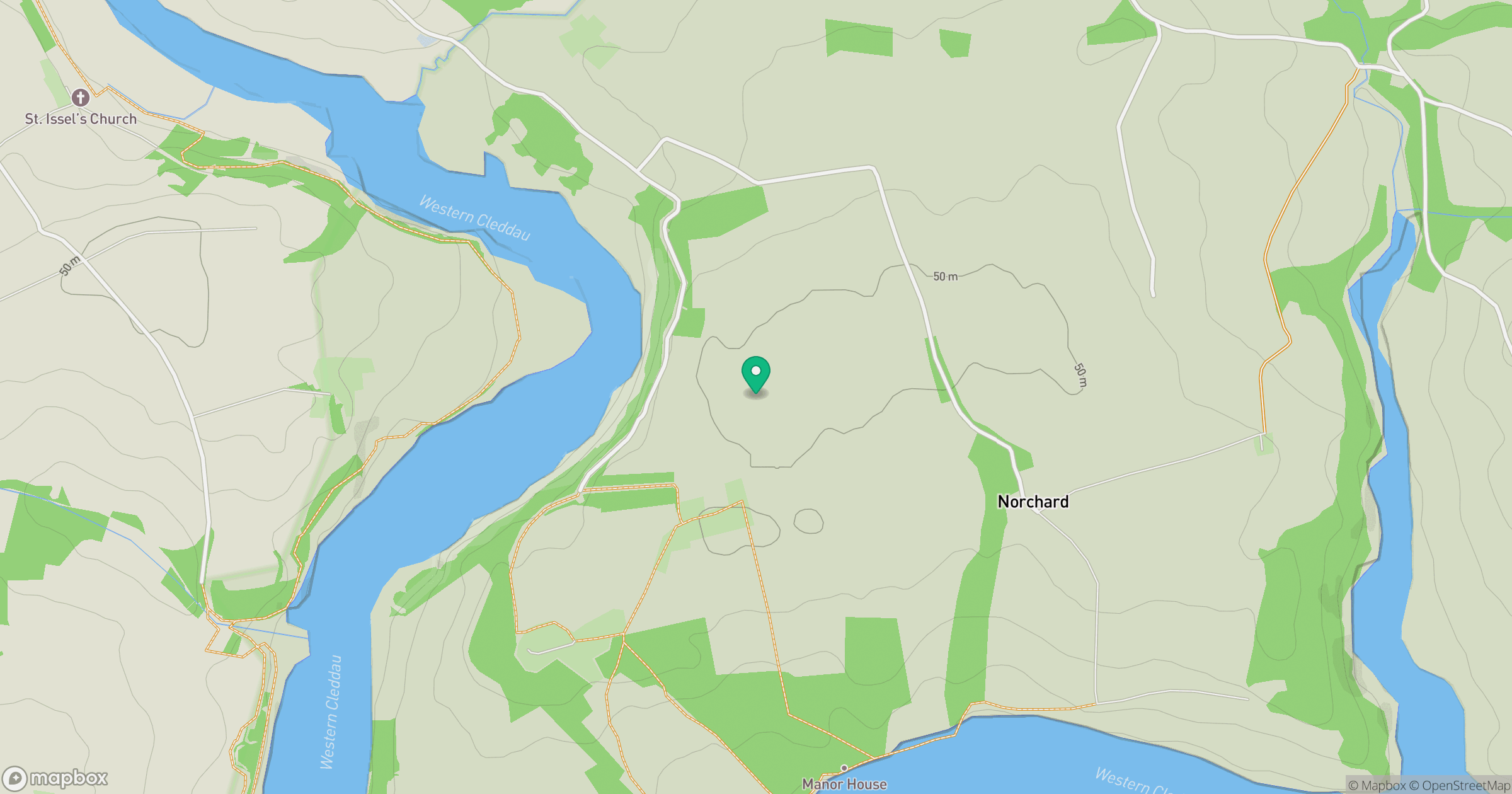
Grid reference: SM979132
View on OpenStreetMapOpens a map in a new tab, centred on the hill.
No comments yet. Be the first.