

Bink Moss
Good walks are even better shared.
NY8724 : Summit tarn on Bink Moss
David Brown Photo source
Overview
Bink Moss: A Hidden Gem of the Pennines
Bink Moss, at 197 meters, might not be the tallest peak in the area, but it's certainly a worthwhile adventure for outdoor enthusiasts. Nestled in the picturesque Pennines, it's a spot that offers stunning vistas without demanding a Herculean effort from hikers. Packed with charm, this Marilyn serves as a splendid introduction to the wild beauty of Northern England.
Geology
Bink Moss is primarily underpinned by carboniferous limestone, giving rise to its distinctive terrain. Hikers might stumble upon fascinating karst formations that have shaped the landscape over millennia. It's a great opportunity to impress your friends with your geological knowledge — but best not to bore them too much!
Routes
The Bink Moss Trail is the most popular route, accessible from the village of Bink. This 4.5 km path is perfect for families and leisurely walkers alike, typically taking around two hours to complete. The trail meanders through verdant fields and rocky outcrops, offering plenty of opportunities to snap that enviable Instagram photo.
Summit Features
Upon reaching the summit, visitors are greeted by a simple stone cairn, a humble monument to the adventures taken by those who have tread here before. It's the ideal perch for a well-earned breather and a chance to soak in the expansive views of the Howgills and Yorkshire Dales.
Terrain
Expect a mix of grassy meadows with a few rocky patches. Be prepared for boggy sections during wet weather — reliable footwear is your best mate here!
Views
From the top, on a clear day, you can gaze out at the undulating landscape stretching into the distance. Make sure to have your camera at the ready! Spring and autumn are particularly stunning times to visit, showcasing a vibrant tapestry of colours and clear skies.
Hazards
While there are no sheer drops to worry about, do keep an eye on the trail in wet weather — the bog can sneak up on you faster than a sheep on a sedate countryside stroll.
Access
For those driving, the small car park in Bink accommodates around ten cars, providing a convenient starting point for your adventure. For those relying on public transport, the nearest bus stop is in Kirkby Stephen, with services connecting you to this hidden treasure.
Facilities
After your trek, indulge in a slice of cake or a hearty sandwich at the local café in the village. Public toilets are conveniently located near the car park, ensuring you can freshen up post-hike.
History
Bink Moss's very name hints at its local heritage, deriving from the dialect term for 'hill.' This area has a rich agricultural history, with evidence of past settlements that reflect the longstanding relationship between the people and the land.
So, pack your bag, lace up your hiking boots, and make your way to Bink Moss for a delightful day in the great outdoors! Remember, adventure is out there — just waiting for you to take the first step.
Happy hiking!
Explore routes near Bink Moss
Walks starting near this hill. Open a route to check its map, distance and full itinerary.
Barnard Castle: Flatts Wood and Cleveland Walk
View route
Stanhope, the River Wear and the Fossil Tree
View route
Hamsterley Forest, Bedburn Beck and Crossfield Plantation
View route
Tunstall Reservoir and Backstone Bank Wood
View route
Route planning notes
These notes describe possible approaches. Check a route's map and access information when planning your walk.
Bink Moss Trail
A gentle ascent starting from the small village of Bink. The path winds through lush fields and a few rocky outcrops before reaching the summit.
Make a day of it, together
Find someone to share the walk with, or organise a day out along a route you like.
Photo Gallery
View all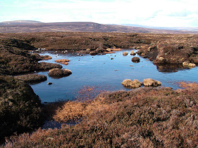 Photo could not load
NY8724 : Summit tarn on Bink Moss
David Brown
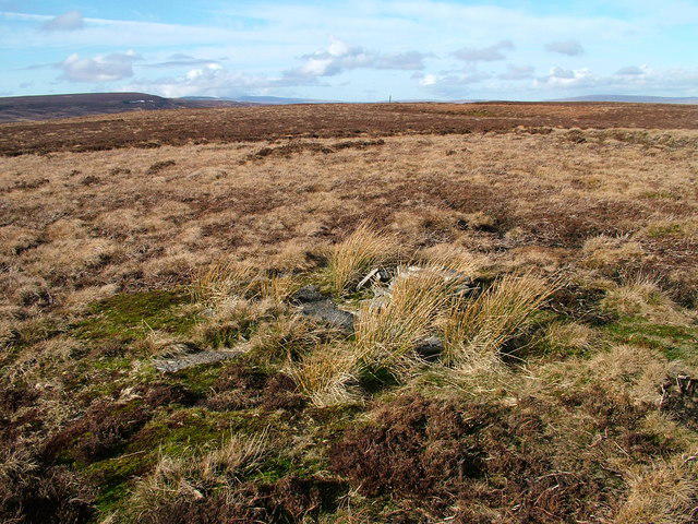 Photo could not load
NY8724 : O.S. stud near top of Bink Moss
David Brown
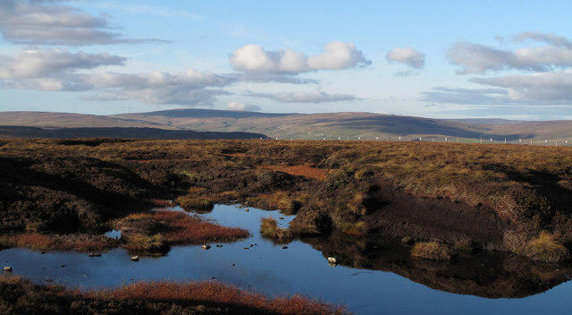 Photo could not load
NY8724 : Pool and peat banks near summit of Bink Moss
Trevor Littlewood
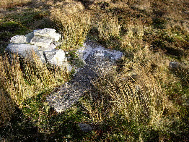 Photo could not load
NY8724 : Curry Stool on Bink Moss
Rob Woodall
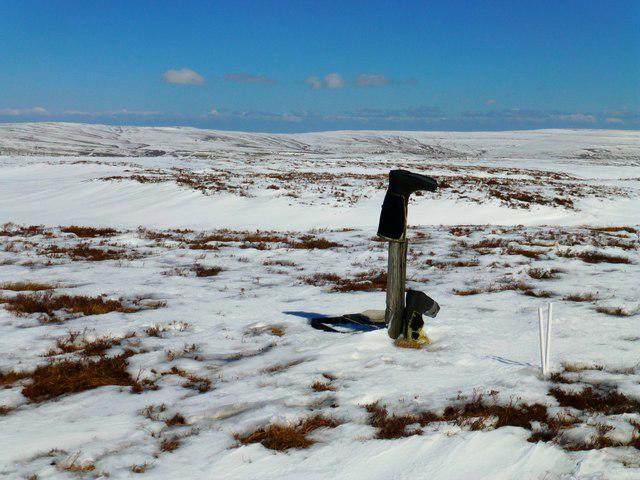 Photo could not load
NY8724 : Bink Moss
Rude Health
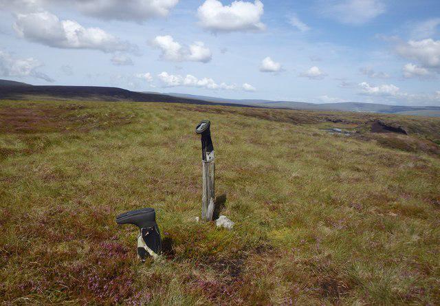 Photo could not load
NY8724 : On Bink Moss
Michael Graham
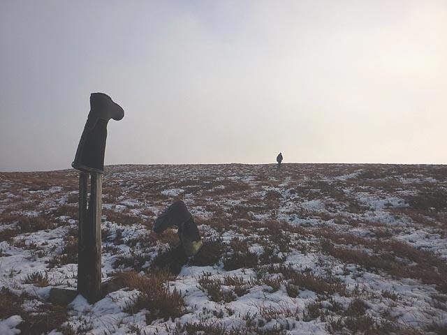 Photo could not load
NY8724 : Boots on Bink Moss
Karl and Ali
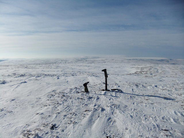 Photo could not load
NY8724 : Summit of Bink Moss
David Brown
Hill facts and local notes
Classifications
Elevation
619m
2,031 ft
Prominence
42m
Coordinates
54.6136, -2.1937
NY875242
OS Map
91 92
Explorer: OL19N
At the Summit
The summit is marked by a simple stone cairn, providing a perfect spot for a well-earned rest and a panoramic view.
Terrain & Geology
Bink Moss is primarily composed of carboniferous limestone, which contributes to its rugged features and unique biodiversity. The area showcases fascinating karst formations.
Views & Scenery
From the summit, one can see the breathtaking outline of the nearby Howgills and the rolling hills of the Yorkshire Dales.
History & Heritage
Name Origin
The name 'Bink' is believed to derive from a local dialect meaning 'hill' or 'mound'
Historical Significance
Bink Moss is a part of the historic farming landscape, with evidence of ancient settlement in the surrounding area, highlighting the long-standing human connection to the land.
Getting There & Facilities
Parking
There is a small car park in the village of Bink, with space for about ten vehicles. Make sure to arrive early on weekends.
Public Transport
The nearest train station is a 25-minute bus ride away in Kirkby Stephen, with bus services running several times a day.
Nearby Facilities
The village of Bink has a delightful café serving local cakes and sandwiches, and there are public toilets near the car park.
Safety Information
Known Hazards
- Boggy sections can be tricky, especially in wet weather. Sturdy boots are recommended!
General Safety Tips
- Check weather conditions before setting out
- Carry appropriate clothing and equipment
- Let someone know your planned route
- Take a map, compass, and GPS device
- Carry emergency supplies: food, water, first aid kit, torch
Hills
Some common questions about the hills answered
Are there group walks up Bink Moss?
Many walkers use Walkmates to join or organise walks with others. You can check for group walks around Bink Moss through the maps
Are there other walkers around Bink Moss?
Activity varies by location and time, but Walkmates lets you see whether others have shared walks or shown interest in this area. Find other people through the walking friends search walking friends for Bink Moss search or of course create your own walk for Bink Moss
Can I organise a walk to Bink Moss?
Yes. If there aren’t any walks listed already, you can create a walk and make it available for others to join.
If you're signed up to Walkmates, you can create a walk to Bink Moss.
How do I find a walk up this hill?
There are often multiple ways to walk this hill, depending on experience and route preference. Walkmates helps you explore walks and routes that others have shared.
Can I suggest a new route up Bink Moss?
Yes. You can suggest or create routes to share with others. Walkmates focuses on the social side of walking, so routes are used to help people organise walks and explore areas together, rather than as detailed navigation tools or route libraries.
Other uses really appreciate knowledgeable walkers sharing their routes. Share your favourite route to Bink Moss here
The is an error or something incorrect about this hill. How do I let you know?
We always strive to keep the information on Walkmates as accurate as possible. If you find an error, please let us know through the contact form and we'll aim to correct it as quickly as possible
Community Discussion
Comments
Location
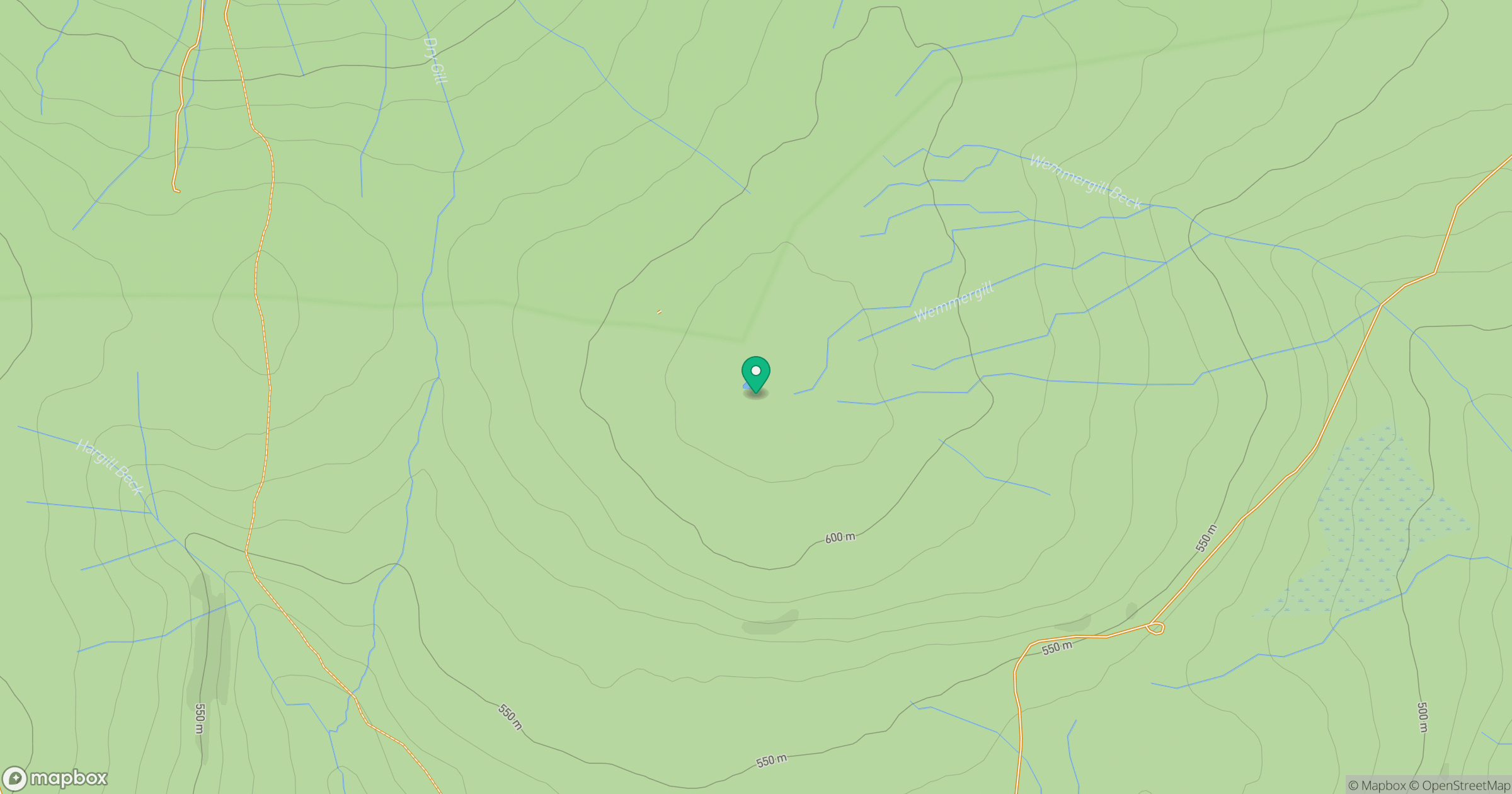
Grid reference: NY875242
View on OpenStreetMapOpens a map in a new tab, centred on the hill.


No comments yet. Be the first.