

Burnhope Seat
Good walks are even better shared.
NY7837 : The summit plateau of Burnhope Seat (4)
Mike Quinn Photo source
Overview
Burnhope Seat
Burnhope Seat, standing proud at 681 meters, is the crowning glory of the North Pennines. As a Marilyn, it may not be the tallest peak, but it certainly packs a punch in terms of views and character.
Geology
The mountain is made up of sandstone and shale, a mix that gives it its rugged charm. Over the centuries, nature has sculpted its slopes, creating a picturesque landscape that often leaves hikers feeling like they've stepped into a postcard.
Routes
The most popular route begins at the Burnhope Reservoir. This 8 km trek offers a delightful mix of scenic water views and thrilling ascents. Expect to spend around 3.5 hours on this moderately challenging trail, perfect for those looking to stretch their legs without overdoing it.
Summit Features
As you reach the summit, you'll be greeted by a friendly cairn and a classic trig point. Don’t forget to snap a pic for the 'gram – after all, the summit feels just a wee bit more special when everyone else knows you made it.
Terrain Type
The paths can vary from grassy knolls to rocky stretches, preparing you for those delightful boggy patches that will test your waterproof boots. Remember, a little mud never hurt anyone!
Views
The summit offers breathtaking views, stretching over the Weardale area and the rolling hills of the North Pennines. For the best sights, aim for spring or early autumn; the weather tends to play ball, and you'll likely have clearer skies to enjoy.
Hazards
While the ascent is relatively accessible, it's essential to keep an eye on the weather – it can change quicker than you can say 'tea and biscuits'. Boggy areas and steep slopes demand your attention, so tread carefully.
Nearby Summits
If you’ve got the legs for it, consider tackling nearby peaks such as Haweswater (639 m) and Middlehope Crags (651 m). They make for excellent companions on your adventure.
Access
The journey to Burnhope Seat starts at the Burnhope Reservoir parking area, which has space for about 20 cars. If you prefer public transport, check local bus schedules as they link with nearby towns, making it easier to hop on and off.
Facilities
Basic facilities are available around the reservoir, but if you're craving a good cup of tea or a clean toilet, Stanhope is just a short drive away.
History
The name Burnhope comes from Old English, meaning 'stream valley', and this area is steeped in mining history. The North Pennines was once a hub for lead mining, leaving behind a rich heritage intertwined with the land.
Whether you're a seasoned walker or just fancy a gentle ramble with a side of stunning views, Burnhope Seat is ready to welcome you with open arms. Pack your gear, lace up those boots, and get ready to enjoy one of the North's hidden gems!
Happy hiking!
Explore routes near Burnhope Seat
Walks starting near this hill. Open a route to check its map, distance and full itinerary.
Stanhope, the River Wear and the Fossil Tree
View route
Long Meg and Lacy's Caves
View route
Blanchland Geotrail
View route
Allen Banks and Morralee Tarn
View route
Route planning notes
These notes describe possible approaches. Check a route's map and access information when planning your walk.
Burnhope Reservoir Trail
A scenic route that begins at Burnhope Reservoir, allowing hikers to admire the waters before ascending the slopes to the summit.
Make a day of it, together
Find someone to share the walk with, or organise a day out along a route you like.
Photo Gallery
View all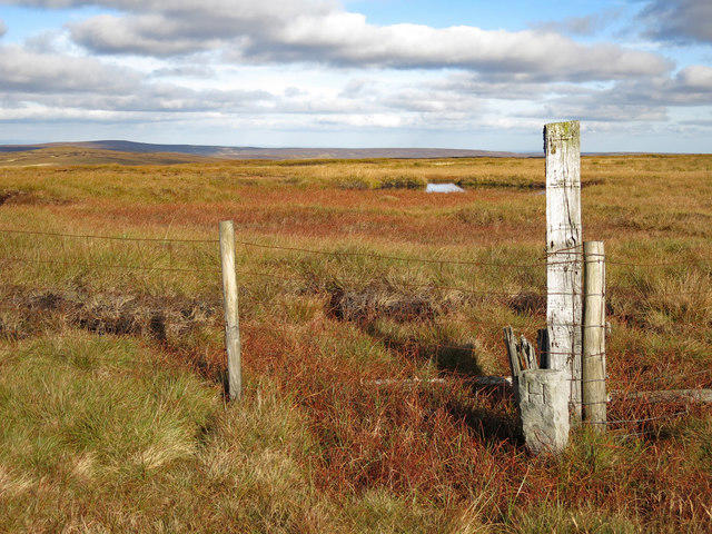 Photo could not load
NY7837 : The summit plateau of Burnhope Seat (4)
Mike Quinn
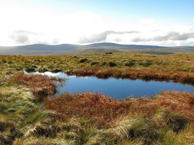 Photo could not load
NY7837 : Small lake on the summit plateau of Burnhope Seat
Mike Quinn
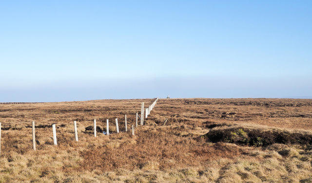 Photo could not load
NY7837 : Fence crossing moorland of Burnhope Seat
Trevor Littlewood
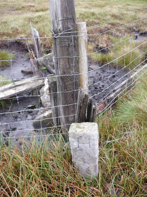 Photo could not load
NY7837 : Boundary Stone on fence line on Yad Moss
Phil Catterall
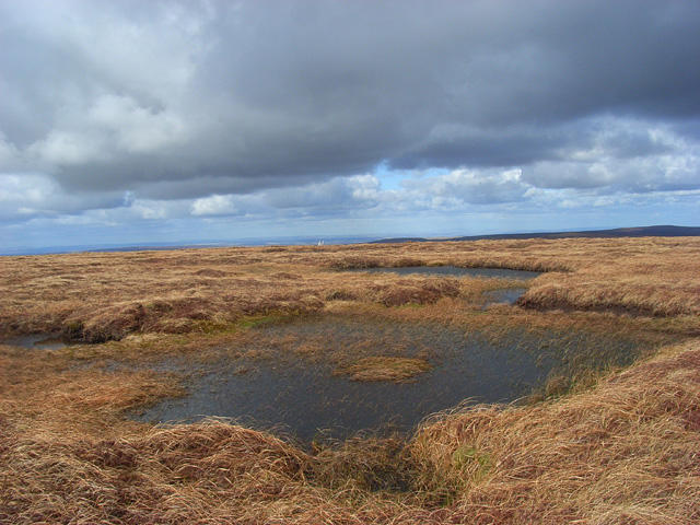 Photo could not load
NY7837 : Bogs, Burnhope Seat, Alston
Andrew Smith
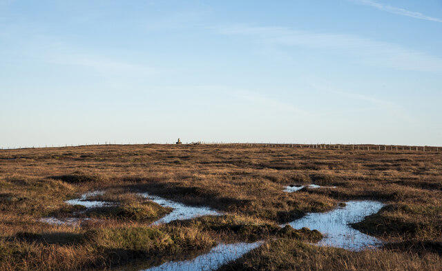 Photo could not load
NY7837 : Standing water on summit plateau of Burnhope Seat
Trevor Littlewood
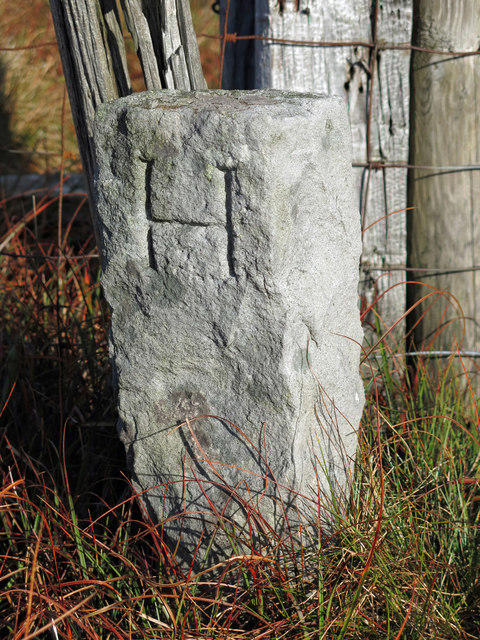 Photo could not load
NY7837 : Boundary stone on the summit plateau of Burnhope Seat
Mike Quinn
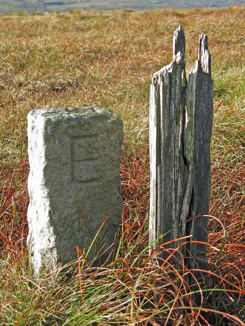 Photo could not load
NY7837 : Boundary stone on the summit plateau of Burnhope Seat (2)
Mike Quinn
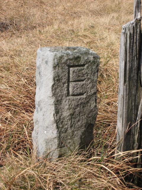 Photo could not load
NY7837 : Old Boundary Marker
Mike Rayner
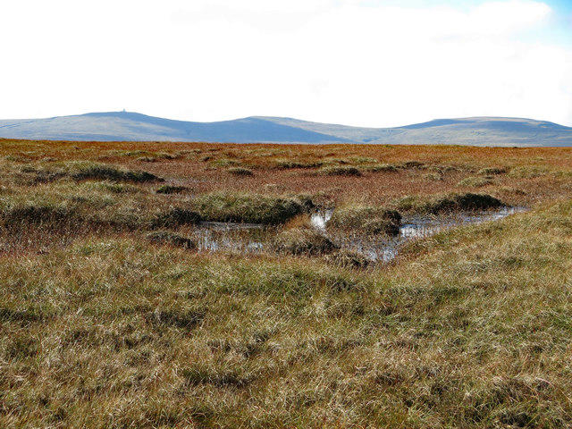
NY7837 : Damp ground on the summit plateau of Burnhope Seat
Mike Quinn
Hill facts and local notes
Classifications
Elevation
748m
2,453 ft
Prominence
194m
Coordinates
54.7326, -2.3363
NY784375
OS Map
91
Explorer: OL31W
At the Summit
The summit features a prominent cairn and a trig point, offering a great place for a 'bragging rights' photo for your social media.
Terrain & Geology
Predominantly sandstone and shale, typical of the North Pennines, creating stunning and rugged landscapes.
Views & Scenery
Panoramic views over the North Pennines, including Weardale and the surrounding countryside.
History & Heritage
Name Origin
The name 'Burnhope' comes from the Old English 'bourne' meaning stream and 'hope' meaning a valley or hollow.
Historical Significance
The North Pennines are rich in mining history, and this area was once rife with lead mining activity.
Getting There & Facilities
Parking
There is a parking area at Burnhope Reservoir, which is suitable for about 20 cars.
Public Transport
Regular bus services operate from nearby towns, but it's wise to check local timetables.
Nearby Facilities
Basic amenities are available at Burnhope Reservoir, but for cafes and toilets, Stanhope is your best bet.
Safety Information
Known Hazards
- Variable weather, potential boggy sections, and steep slopes in certain areas.
General Safety Tips
- Check weather conditions before setting out
- Carry appropriate clothing and equipment
- Let someone know your planned route
- Take a map, compass, and GPS device
- Carry emergency supplies: food, water, first aid kit, torch
Hills
Some common questions about the hills answered
Are there group walks up Burnhope Seat?
Many walkers use Walkmates to join or organise walks with others. You can check for group walks around Burnhope Seat through the maps
Are there other walkers around Burnhope Seat?
Activity varies by location and time, but Walkmates lets you see whether others have shared walks or shown interest in this area. Find other people through the walking friends search walking friends for Burnhope Seat search or of course create your own walk for Burnhope Seat
Can I organise a walk to Burnhope Seat?
Yes. If there aren’t any walks listed already, you can create a walk and make it available for others to join.
If you're signed up to Walkmates, you can create a walk to Burnhope Seat.
How do I find a walk up this hill?
There are often multiple ways to walk this hill, depending on experience and route preference. Walkmates helps you explore walks and routes that others have shared.
Can I suggest a new route up Burnhope Seat?
Yes. You can suggest or create routes to share with others. Walkmates focuses on the social side of walking, so routes are used to help people organise walks and explore areas together, rather than as detailed navigation tools or route libraries.
Other uses really appreciate knowledgeable walkers sharing their routes. Share your favourite route to Burnhope Seat here
The is an error or something incorrect about this hill. How do I let you know?
We always strive to keep the information on Walkmates as accurate as possible. If you find an error, please let us know through the contact form and we'll aim to correct it as quickly as possible
Community Discussion
Comments
Location
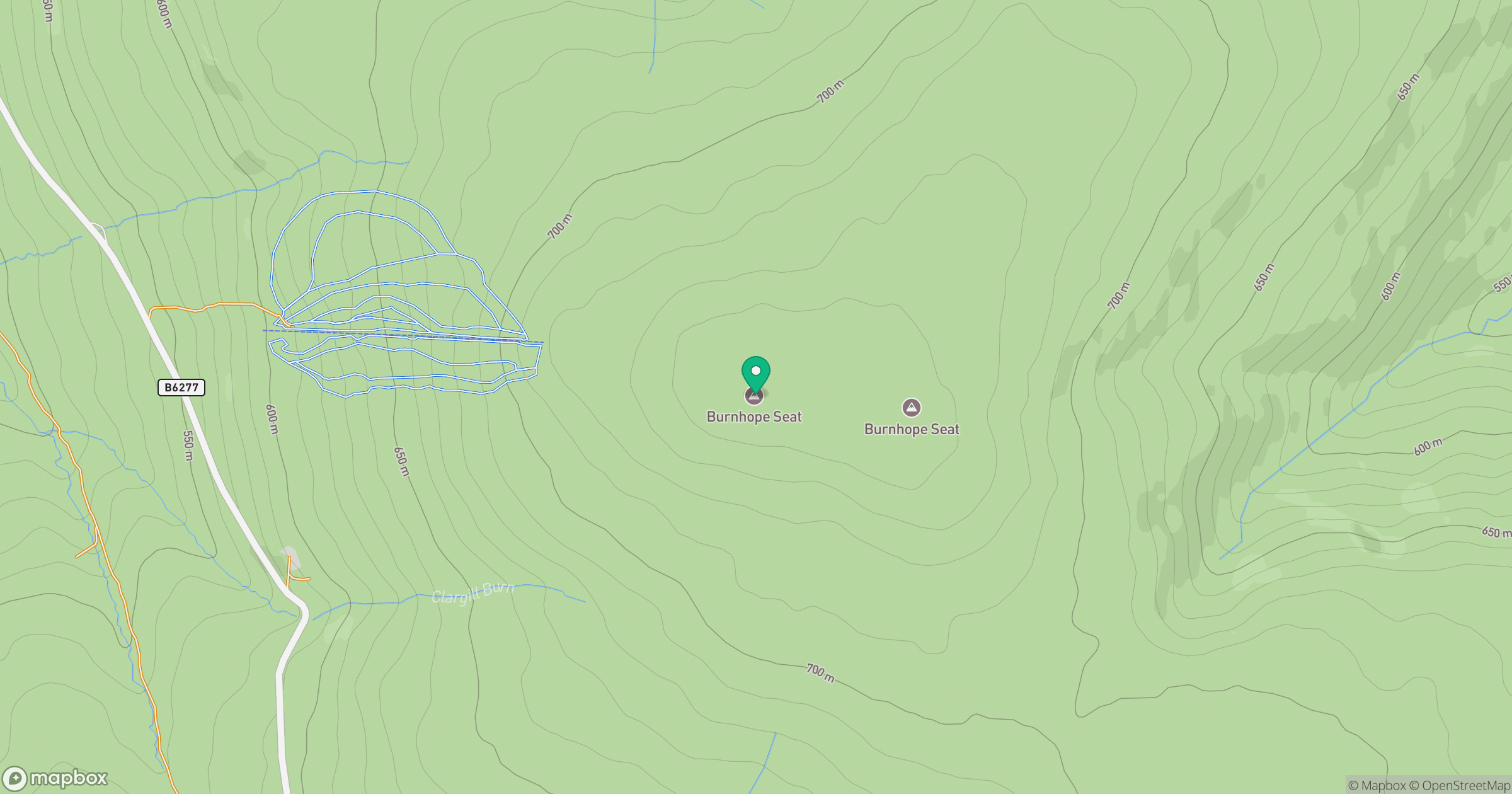
Grid reference: NY784375
View on OpenStreetMapOpens a map in a new tab, centred on the hill.



No comments yet. Be the first.