
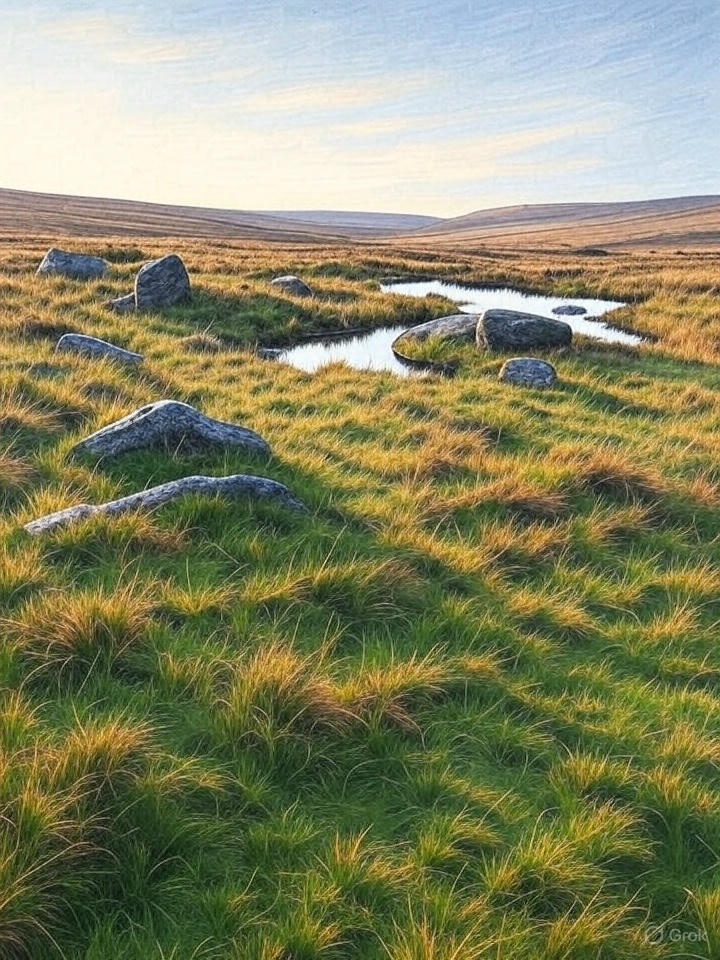
Countryside
Circular
Medium
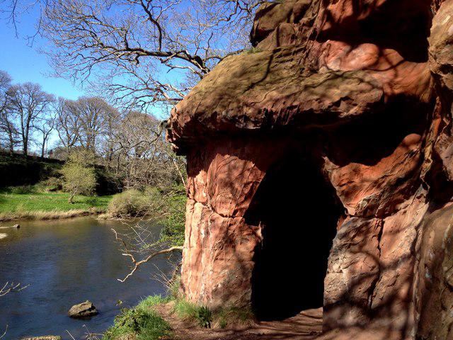
Long Meg and Lacy's Caves
PaulWalkmates
Walk organiser
No comments yet. Be the first.