

Beinn Tarsuinn
Good walks are even better shared.
NH0472 : View towards Slioch
Nigel Brown Photo source
Overview
Beinn Tarsuinn: The Jewel of the Highlands
Introduction
Beinn Tarsuinn, standing tall at 927 meters, is a revered Munro in the Scottish Highlands. With an enticing combination of stunning views, challenging routes, and a rich geological history, it is a must-visit for outdoor enthusiasts.
Geology
The mountain features a predominantly granite composition, underpinned by schist, showcasing the fascinating geological processes that have shaped the land over eons. The rugged terrain is a reminder of the age of these ancient rocks, perfect for aspiring geologists and anyone keen on understanding the Earth.
Routes
East Ridge Route
This popular 12 km route is perfect for moderate hikers. Starting from Strathcarron, the trail offers a steady ascent with increasing views—perfect for those who appreciate a slow build-up to the dramatic panoramas above.
North Face Route
For the thrill-seekers, the 10.5 km North Face route offers a testing ascent with some scrambling involved. It’s where the mountain shows its teeth, so to speak, and will keep even the most experienced climbers on their toes!
Summit Features
Upon reaching the summit, hikers are welcomed by a prominent stone cairn, which does a splendid job at marking the spot. The surroundings are a feast for the eyes, with sweeping views that make forgetting the uphill journey completely forgivable.
Terrain
Expect a blend of rocky and grassy patches leading up to a more rugged landscape. It’s a bit of a mixed bag, so sturdy boots are a must!
Views
Get your camera ready! The views from Beinn Tarsuinn are staggeringly beautiful, showcasing the illustrious peaks of Liathach and Beinn Eighe, alongside the mesmerizing Loch Carron. For the best photography, aim for spring or autumn when the lighting is just right and nature puts on a show.
Hazards
As with any Highlands trek, be prepared for sudden weather changes; it’s not uncommon for sunny skies to turn into drizzly conditions faster than you can say ‘unpredictable Scottish weather’. Loose rocks and steep drop-offs require vigilance as well!
Access
The closest parking area is in Strathcarron, and while there’s no loo at the base, there are some local cafes where you can grab a bit of fuel for the trek. Public transport opportunists can catch a bus or train to the town, making logistics a bit easier.
Conclusion
Beinn Tarsuinn is a stunning escapade that appeals to both novice hikers looking for an adventure and seasoned climbers looking for a challenge. As always, respect the environment, leave no trace, and be sure to share a story or two at the summit. Happy hiking!
Explore routes near Beinn Tarsuinn
Walks starting near this hill. Open a route to check its map, distance and full itinerary.
Beinn Eighe Lancaster Wreckage at Coire Mhic Fhearchair
View route
Fairy Lochs Liberator Wreckage Circuit
View route
Glen Affric: Coire Loch Woodland Trail
View route
Loch Migdale from Torroy: Spinningdale pinewood and loch shore walk
View route
Route planning notes
These notes describe possible approaches. Check a route's map and access information when planning your walk.
East Ridge Route
This popular route begins from the village of Strathcarron and ascends the east ridge, offering panoramic views as you climb.
North Face Route
A more challenging ascent, this route takes you up the rugged north face, perfect for those looking for a bit of a scramble.
Make a day of it, together
Find someone to share the walk with, or organise a day out along a route you like.
Photo Gallery
View all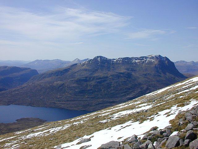 Photo could not load
NH0472 : View towards Slioch
Nigel Brown
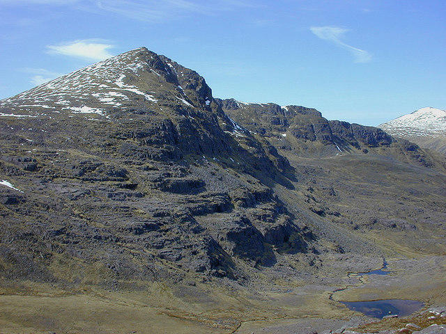 Photo could not load
NH0472 : Beinn Tarsuinn
Nigel Brown
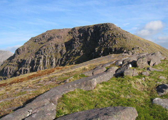 Photo could not load
NH0372 : Beinn Tarsuinn
Hill Walker
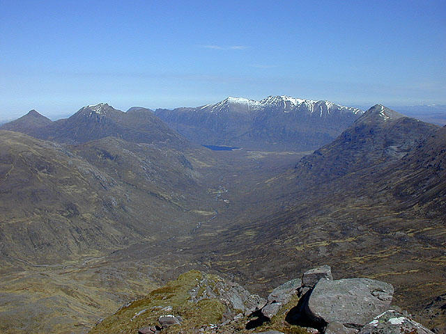 Photo could not load
NH0372 : View down Gleann na Muice
Nigel Brown
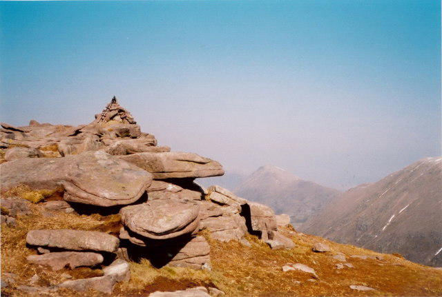 Photo could not load
NH0372 : Beinn Tarsuinn - the summit cairn
Richard Law
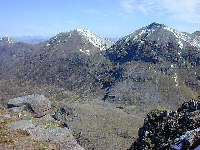 Photo could not load
NH0372 : View northeast from Beinn Tarsuinn
Nigel Brown
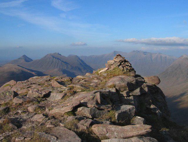 Photo could not load
NH0372 : Beinn Tarsuinn
Hill Walker
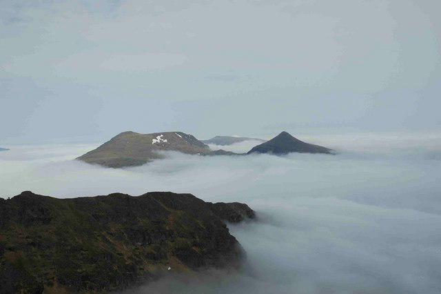 Photo could not load
NH0372 : The Summit of Beinn Tarsuinn, 937m
charlie kennedy
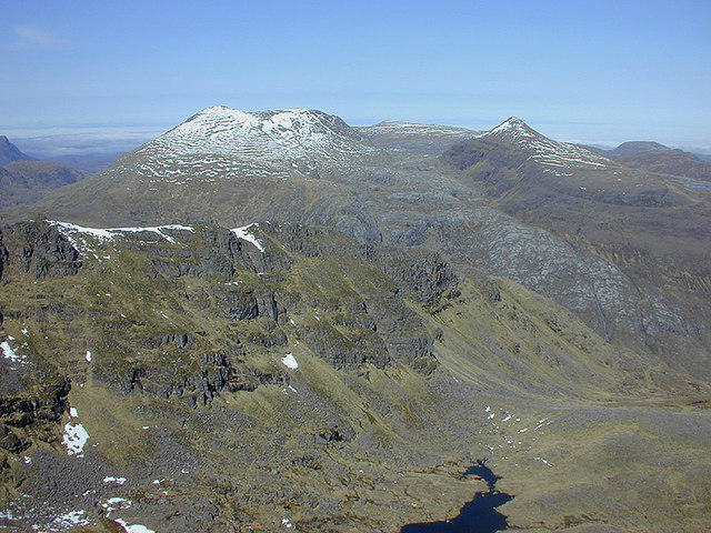 Photo could not load
NH0372 : View towards A' Mhaighdean and Ruadh Stac Mòr
Nigel Brown
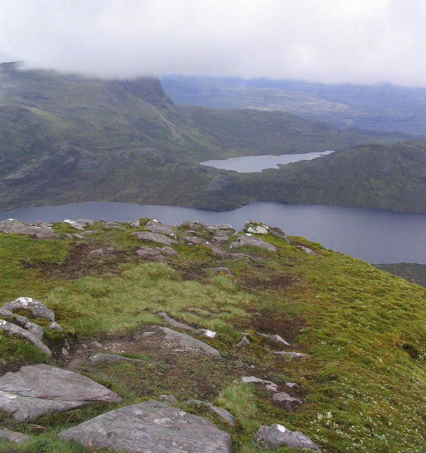
NH0372 : Summit of Beinn Tarsuinn
Russel Wills
Hill facts and local notes
Classifications
Elevation
934m
3,064 ft
Prominence
207m
Coordinates
57.7021, -5.2916
NH039727
OS Map
19
Explorer: 435S
At the Summit
The summit features a distinctive cairn that serves as a perfect photo opportunity, alongside breathtaking 360-degree views of the surrounding mountains.
Terrain & Geology
Primarily composed of granite and schist, Beinn Tarsuinn showcases the remarkable geology typical of the Highlands, offering a glimpse into millions of years of geological history.
Views & Scenery
From the summit, you can see the iconic peaks of Liathach and Beinn Eighe, as well as beautiful views over Loch Carron.
History & Heritage
Name Origin
The name 'Tarsuinn' likely derives from the Gaelic 'Tarsainn', meaning 'across' or 'beyond', a nod to the mountain's place in the expansive Scottish landscape.
Historical Significance
Like many Scottish Munros, Beinn Tarsuinn holds cultural significance for local inhabitants and offers a sense of pride in the breathtaking natural beauty of the Highlands.
Getting There & Facilities
Parking
There’s a small parking area at the base of the East Ridge route near Strathcarron village.
Public Transport
Buses run from Inverness to Strathcarron. The nearest train station is in Strathcarron, offering easy access for those coming by rail.
Nearby Facilities
There are no facilities directly at the mountain, but Strathcarron has a small shop and a couple of cafes for basic refreshments.
Safety Information
Known Hazards
- Watch out for sudden changes in weather; conditions can deteriorate rapidly in the Highlands. Loose stones and steep inclines require careful navigation.
General Safety Tips
- Check weather conditions before setting out
- Carry appropriate clothing and equipment
- Let someone know your planned route
- Take a map, compass, and GPS device
- Carry emergency supplies: food, water, first aid kit, torch
Hills
Some common questions about the hills answered
Are there group walks up Beinn Tarsuinn?
Many walkers use Walkmates to join or organise walks with others. You can check for group walks around Beinn Tarsuinn through the maps
Are there other walkers around Beinn Tarsuinn?
Activity varies by location and time, but Walkmates lets you see whether others have shared walks or shown interest in this area. Find other people through the walking friends search walking friends for Beinn Tarsuinn search or of course create your own walk for Beinn Tarsuinn
Can I organise a walk to Beinn Tarsuinn?
Yes. If there aren’t any walks listed already, you can create a walk and make it available for others to join.
If you're signed up to Walkmates, you can create a walk to Beinn Tarsuinn.
How do I find a walk up this hill?
There are often multiple ways to walk this hill, depending on experience and route preference. Walkmates helps you explore walks and routes that others have shared.
Can I suggest a new route up Beinn Tarsuinn?
Yes. You can suggest or create routes to share with others. Walkmates focuses on the social side of walking, so routes are used to help people organise walks and explore areas together, rather than as detailed navigation tools or route libraries.
Other uses really appreciate knowledgeable walkers sharing their routes. Share your favourite route to Beinn Tarsuinn here
The is an error or something incorrect about this hill. How do I let you know?
We always strive to keep the information on Walkmates as accurate as possible. If you find an error, please let us know through the contact form and we'll aim to correct it as quickly as possible
Community Discussion
Comments
Location
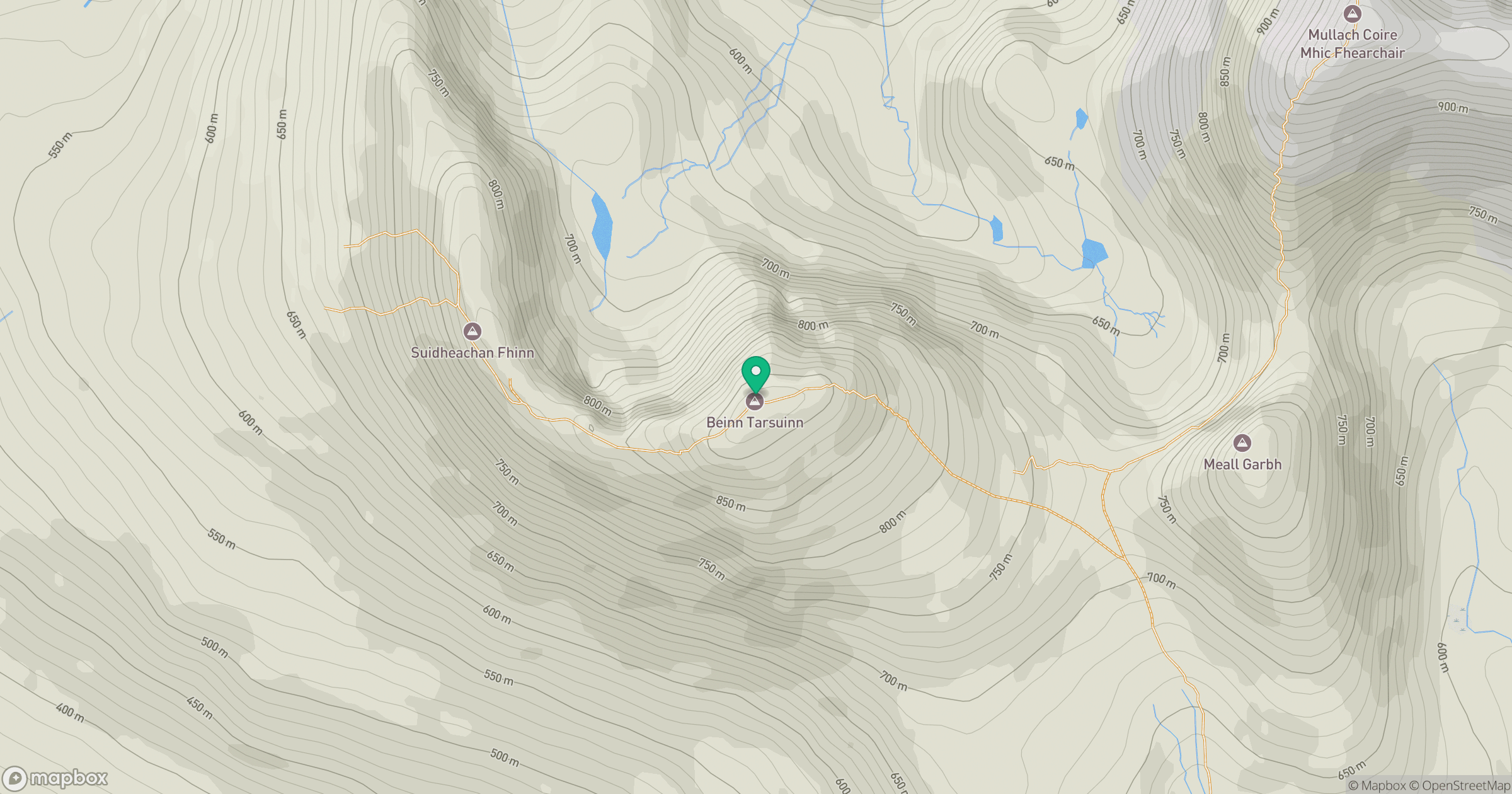
Grid reference: NH039727
View on OpenStreetMapOpens a map in a new tab, centred on the hill.
No comments yet. Be the first.