
Beinn Ghlas
Good walks are even better shared.
Overview
Beinn Ghlas is a 1,103.4 m Munro above Loch Tay, commonly climbed on the way to Ben Lawers. The popular two-summit circuit starts at the National Nature Reserve car park and crosses steep, rocky and weather-exposed mountain ground.
Beinn Ghlas
Beinn Ghlas is a 1,103.4 m Munro in the Ben Lawers range above Loch Tay. Often crossed on the way to its higher neighbour, it has a cairn on its summit and fine views of Ben Lawers and Loch Tay in clear weather.
The mountain and its landscape
The Ben Lawers range is known for calcareous mica-schist and its rich mountain flora. These metamorphic rocks contribute to the base-rich soils of the reserve. Beinn Ghlas is among the mountains studied for their rare arctic-alpine plants. Keep to established paths to protect the vegetation.
The Gaelic name can be understood as green or grey-green mountain: glas covers grey and pale green shades. The reserve has been in the National Trust for Scotland’s care since 1950, and ruined summer dwellings near Coire Odhar recall earlier use of the hill ground.
Access and facilities
Use the Ben Lawers National Nature Reserve car park at NN608377, reached by the hill road about two miles from the A827. Parking currently costs £4 and is free for NTS members. The site is unsuitable for coaches and large motorhomes. There are no toilets on site; use facilities in Killin or Kenmore before arriving.
There is no public transport directly to this mountain-route start. Plan the journey and return in advance. Killin and Kenmore offer places to eat and stay.
Beinn Ghlas and Ben Lawers circuit
From the car park, cross the road and follow the reserve path, taking the right-hand branch above the enclosure to climb Beinn Ghlas. Continue down the ridge to the col and up Ben Lawers. Return to the same col, then use the northern bypass of Beinn Ghlas and rejoin the outward path.
Walkhighlands gives 11 km, 942 m of ascent and 4–6 hours for this complete two-Munro circuit. Those figures do not describe a Beinn Ghlas-only return walk. On descent, stay on the main path through the enclosure rather than the Edramucky Nature Trail.
Mountain conditions
The ascent becomes steep and rocky, and the high ridge is exposed to wind and rapidly changing weather. Wet rock can be slippery. Check a mountain forecast and carry suitable clothing, a map and compass, with the skills to use them in poor visibility.
Explore routes near Beinn Ghlas
Walks starting near this hill. Open a route to check its map, distance and full itinerary.
Killin: Falls of Dochart, Finlarig and Moirlanich Longhouse
View route
Kenmore: Drummond Hill Black Rock Trail above Loch Tay
View route
Aberfeldy: Glassie Woodland and River Tay Circular
View route
Monachyle Glen pack-pony short walk
View route
Route planning notes
These notes describe possible approaches. Check a route's map and access information when planning your walk.
Beinn Ghlas and Ben Lawers circuit
From the NNR car park (NN608377), cross the road and follow the reserve path, taking the right-hand branch above the enclosure to climb Beinn Ghlas. Continue down to the col and up Ben Lawers. Return to that col, then take the bypass around the north side of Beinn Ghlas, via the col beside Meall Corranaich, to rejoin the outward path. Stay on the main path through the enclosure on descent. Walkhighlands gives 11 km, 942 m ascent and 4–6 hours for this two-Munro circuit. Expect steep, rocky ground and exposed mountain weather.
Make a day of it, together
Find someone to share the walk with, or organise a day out along a route you like.
Hill facts and local notes
Classifications
Elevation
1,103m
3,620 ft
Prominence
109m
Coordinates
56.5360, -4.2370
NN625404
OS Map
51
Explorer: OL48E 378E
At the Summit
The summit is marked by a cairn, as recorded by DoBIH.
Terrain & Geology
Beinn Ghlas lies in the Ben Lawers range, where Dalradian calcareous mica-schists contribute to base-rich soils and a rich arctic-alpine flora. These metamorphic rocks are described in geological and botanical studies of the range.
Views & Scenery
From the summit, hikers can enjoy panoramic views of the surrounding mountain ranges, including the stunning Ben Lawers and the breadth of Loch Tay.
History & Heritage
Name Origin
Beinn Ghlas can be translated as green or grey-green mountain. Gaelic glas can mean grey or a pale, greyish green; language specialist Alison Grant gives “green mountain” for this Beinn Ghlas above Loch Tay.
Historical Significance
Beinn Ghlas is a popular Munro for hikers in pursuit of both challenge and spectacular Highland views, and it serves as a gateway to other summits in the area.
Getting There & Facilities
Parking
Use the Ben Lawers National Nature Reserve car park at NN608377, about two miles up the hill road off the A827, north of Loch Tay. Parking is currently £4, free for NTS members. It is not suitable for coaches or large campervans/motorhomes; follow current signs and keep the road clear.
Public Transport
Walkhighlands lists no public transport to the NNR car park. Arrange transport to and from this high-level start. NTS describes pedestrian access from the A827 at NN614361; starting there adds distance and ascent to the published car-park circuit.
Nearby Facilities
There are no toilets at the NNR car park. NTS asks visitors to use public toilets in Killin or Kenmore before arriving. Both villages and the lochside have places to eat and stay; bring food and water for the hill.
Safety Information
Known Hazards
- Be aware of sudden weather changes, as conditions can shift rapidly in the Highlands. Additionally, rocky sections may be slippery, especially when wet.
General Safety Tips
- Check weather conditions before setting out
- Carry appropriate clothing and equipment
- Let someone know your planned route
- Take a map, compass, and GPS device
- Carry emergency supplies: food, water, first aid kit, torch
Hills
Some common questions about the hills answered
Are there group walks up Beinn Ghlas?
Many walkers use Walkmates to join or organise walks with others. You can check for group walks around Beinn Ghlas through the maps
Are there other walkers around Beinn Ghlas?
Activity varies by location and time, but Walkmates lets you see whether others have shared walks or shown interest in this area. Find other people through the walking friends search walking friends for Beinn Ghlas search or of course create your own walk for Beinn Ghlas
Can I organise a walk to Beinn Ghlas?
Yes. If there aren’t any walks listed already, you can create a walk and make it available for others to join.
If you're signed up to Walkmates, you can create a walk to Beinn Ghlas.
How do I find a walk up this hill?
There are often multiple ways to walk this hill, depending on experience and route preference. Walkmates helps you explore walks and routes that others have shared.
Can I suggest a new route up Beinn Ghlas?
Yes. You can suggest or create routes to share with others. Walkmates focuses on the social side of walking, so routes are used to help people organise walks and explore areas together, rather than as detailed navigation tools or route libraries.
Other uses really appreciate knowledgeable walkers sharing their routes. Share your favourite route to Beinn Ghlas here
The is an error or something incorrect about this hill. How do I let you know?
We always strive to keep the information on Walkmates as accurate as possible. If you find an error, please let us know through the contact form and we'll aim to correct it as quickly as possible
Community Discussion
Comments
Location
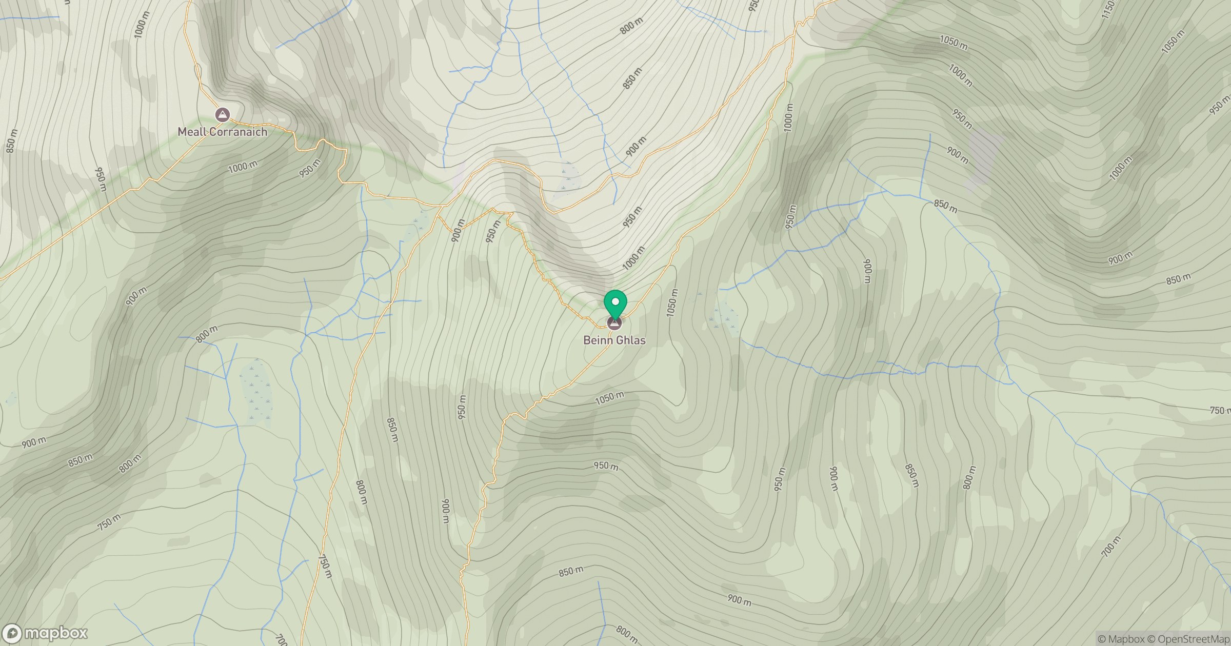
Grid reference: NN625404
View on OpenStreetMapOpens a map in a new tab, centred on the hill.


No comments yet. Be the first.