

Beinn a' Chaisgein Beag
Good walks are even better shared.
Overview
Beinn a' Chaisgein Beag
If you're looking for a hidden gem in the Scottish Highlands, look no further than Beinn a' Chaisgein Beag. Set at an elevation of 737 meters, this Munro provides a delightful challenge without the crowds you might find on more famous peaks. Nestled amongst striking landscapes, it's an excellent choice for those seeking solitude amidst nature's grandeur.
Geology
The mountain's gneiss foundation tells a tale of tremendous geological forces. Formed under great pressure and temperature, this metamorphic rock provides a rugged terrain that can sometimes betray the unprepared. Make sure to take note of your footing, especially around those slippery bits!
Routes
The popular Bealach na Ba Route gives a moderate hike, valuing both effort and reward. Clocking in around 8.5 km and taking approximately 3.5 hours, it's suitable for most hikers willing to tackle a gentle incline. With every step, enjoy the thrill of nature as you ascent towards the summit.
Summit Features
Once at the peak, you'll be greeted by a sturdy stone cairn, a humble yet proud monument to all who have ventured here. Don’t forget to take a moment to reflect, but keep your eyes peeled for those crafty clouds that like to sneak up on you!
Terrain Type
You'll encounter a mix of rocky outcrops and lush grassy slopes, punctuated by the odd bog. Your feet might find a surprise here and there, so sturdy boots are a must if you want to avoid soggy socks – unless you’re into that!
Views
From the summit, breathtaking sights await. You'll be treated to sweeping views of Loch Maree and the Torridon mountains, with Slioch looming majestically to the east. For the best sights, try to aim for late spring or early autumn; there’s nothing quite like it.
Hazards
Always be ready for the unpredictable Highland weather, which can switch from sunny to drizzly quicker than you can say 'pint of ale'. Stay vigilant on those trails, particularly after a good rain - slippiness can strike when you least expect it!
Nearby Summits
If you’re feeling feisty, why not conquer nearby peaks such as Beinn a' Chaisgein Mhor (elevation of 798m) and Meall Mheinnidh (762m)? All add to the adventure!
Access
Getting there is straightforward enough. Parking at the Bealach na Ba car park (NG 949 879) offers a solid start point. For public transport enthusiasts, you might need a taxi from Achnasheen to reach the trailhead. Achnasheen also serves as your nearest town, about 16 km away, so don’t expect five-star luxuries just yet.
Facilities
Essentially, your facilities are nestled in Achnasheen: a wee shop, a friendly café, and public toilets. Enjoy a slice of cake post-hike; you’ve earned it!
History
The name means 'the hill of the little case', which intrigues the mind and stirs up local folklore. Like many Munros, Beinn a' Chaisgein Beag is steeped in significance, a place where challenges are met and memories created.
Put on your best walking boots, grab your camera, and venture forth to experience the charm of Beinn a' Chaisgein Beag! Remember, every hike is not just a journey through hills, but a venture into the soul of Scotland itself.
Explore routes near Beinn a' Chaisgein Beag
Public walks starting within 80 km of this hill. Nearby does not mean a route reaches the summit; check its map and access before setting out.
Fairy Lochs Liberator Wreckage Circuit
View route
Beinn Eighe Lancaster Wreckage at Coire Mhic Fhearchair
View route
Glen Affric: Coire Loch Woodland Trail
View route
Loch Affric full circuit from River Affric
View route
Route planning notes
These notes describe possible approaches, not verified navigable routes or permission to cross land. Check current paths, local access rules and conditions before setting out.
Bealach na Ba Route
A relatively straightforward ascent from the Bealach na Ba, allowing for a gradual approach to the summit with stunning views as you go.
Make a day of it, together
Find someone to share the walk with, or organise a day out along a route you like.
Photo Gallery
View all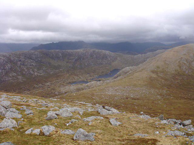 Photo could not load
NG9682 : Southeast side of Beinn a' Chasgein Beag
Sally
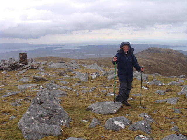 Photo could not load
NG9682 : Trig point on Beinn a' Chaisgein Beag
Sally
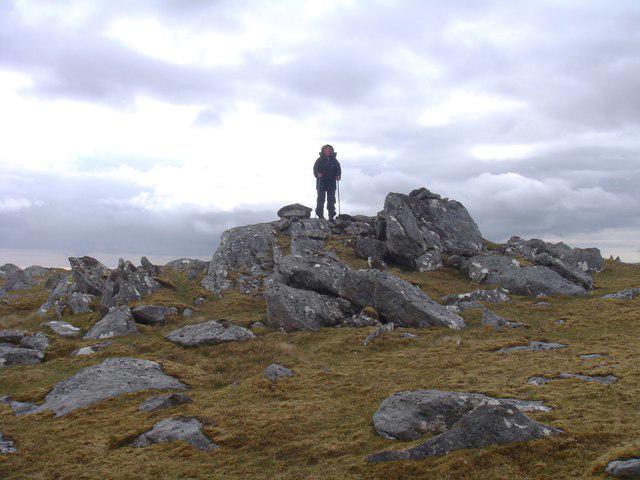 Photo could not load
NG9682 : Summit of Beinn a' Chaisgein Beag
Sally
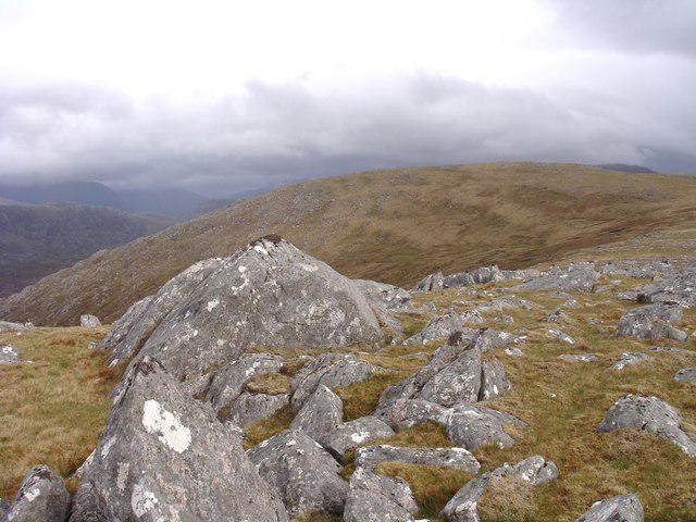 Photo could not load
NG9682 : Beinn a' Chaisgein Beag
Sally
Hill facts and local notes
Classifications
Elevation
682m
2,239 ft
Prominence
174m
Coordinates
57.7826, -5.4228
NG966821
OS Map
19
Explorer: 435N
At the Summit
The summit features a well-constructed stone cairn, which stands as a sturdy testament to the many adventurers who have made their way here. On clear days, you can even spot clouds trying their hardest to roll over the peak.
Terrain & Geology
The mountain is primarily composed of gneiss, a metamorphic rock formed under high pressure and temperature, adding to its rugged charm. The complex geological history provides insights into Scotland's tectonic activity over millions of years.
Views & Scenery
From the summit, gaze upon the stunning vistas of Loch Maree and the impressive Torridon mountains, with the majestic hills of the Slioch range to your east creating a dramatic backdrop.
History & Heritage
Name Origin
The name 'Beinn a' Chaisgein Beag' translates to 'The Hill of the Little Case', thought to relate to local folklore or historical anecdotes.
Historical Significance
Like many Scottish Munros, Beinn a' Chaisgein Beag holds a special place in the heart of local hiking culture, offering both challenge and reward to those who venture forth.
Getting There & Facilities
Check current local access restrictions, parking rules and transport timetables before travelling. These notes do not confirm public access to the summit.
Parking
Parking is available at the Bealach na Ba car park (NG 949 879), which provides a handy base for your adventure. It's best to arrive early as spaces can fill up quickly, especially on weekends.
Public Transport
Public transport options are limited; however, you can catch a train to Achnasheen and arrange for a taxi to the Bealach na Ba area.
Nearby Facilities
Facilities in Achnasheen include a small shop, a café, and public toilets. However, be prepared for a true adventure as options are limited once you head for the hills!
Safety Information
Known Hazards
- Be cautious of rapidly changing weather conditions; even a sunny day can turn into a misty affair. Some paths may also be slippery, particularly after rain or in winter.
General Safety Tips
- Check weather conditions before setting out
- Carry appropriate clothing and equipment
- Let someone know your planned route
- Take a map, compass, and GPS device
- Carry emergency supplies: food, water, first aid kit, torch
Hills
Some common questions about the hills answered
Are there group walks up Beinn a' Chaisgein Beag?
Many walkers use Walkmates to join or organise walks with others. You can check for group walks around Beinn a' Chaisgein Beag through the maps
Are there other walkers around Beinn a' Chaisgein Beag?
Activity varies by location and time, but Walkmates lets you see whether others have shared walks or shown interest in this area. Find other people through the walking friends search walking friends for Beinn a' Chaisgein Beag search or of course create your own walk for Beinn a' Chaisgein Beag
Can I organise a walk to Beinn a' Chaisgein Beag?
Yes. If there aren’t any walks listed already, you can create a walk and make it available for others to join.
If you're signed up to Walkmates, you can create a walk to Beinn a' Chaisgein Beag.
How do I find a walk up this hill?
There are often multiple ways to walk this hill, depending on experience and route preference. Walkmates helps you explore walks and routes that others have shared.
Can I suggest a new route up Beinn a' Chaisgein Beag?
Yes. You can suggest or create routes to share with others. Walkmates focuses on the social side of walking, so routes are used to help people organise walks and explore areas together, rather than as detailed navigation tools or route libraries.
Other uses really appreciate knowledgeable walkers sharing their routes. Share your favourite route to Beinn a' Chaisgein Beag here
The is an error or something incorrect about this hill. How do I let you know?
We always strive to keep the information on Walkmates as accurate as possible. If you find an error, please let us know through the contact form and we'll aim to correct it as quickly as possible
Community Discussion
Comments
Location
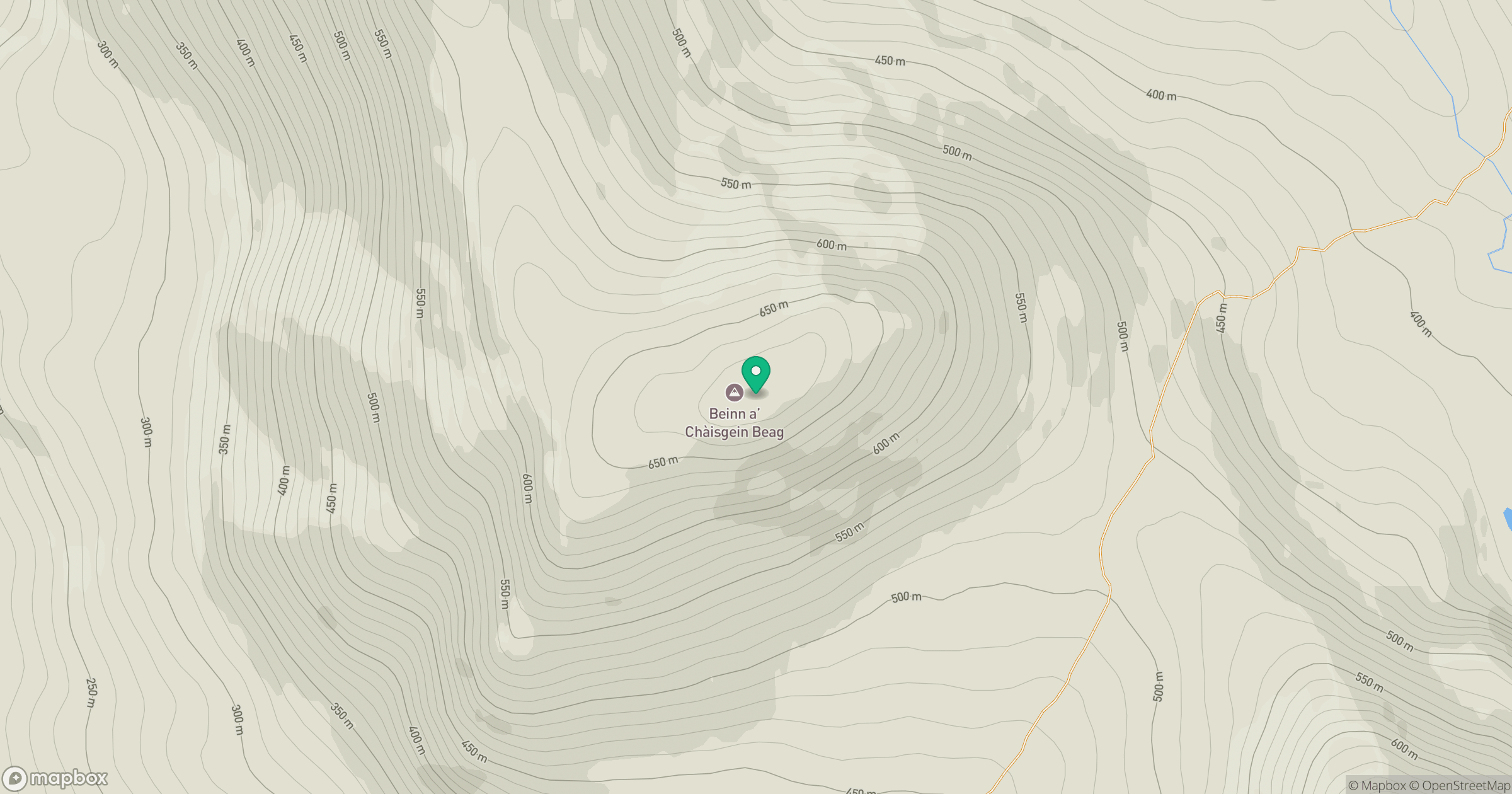
Grid reference: NG966821
View on OpenStreetMapOpens a map in a new tab, centred on the hill.
Hills within 30 km
Straight-line distance, not a walking route or confirmation of access.
No comments yet. Be the first.