

Y Golfa
Good walks are even better shared.
Overview
Exploring Y Golfa
Introduction
Y Golfa, standing at a modest 300 meters, is often overlooked by the more adventurous folk chasing higher peaks. However, don’t be fooled by its size; this little gem offers spectacular views and a peaceful escape into nature.
Geology
When hiking Y Golfa, you’ll be stepping on sedimentary rocks that tell tales of ancient seabeds. The mudstones and sandstones create a gentle undulating landscape that is as beautiful as it is serene.
Routes
Llandrindod Wells Route
This is the most popular route to the summit, providing around 5 km of enjoyable walking. It’s a moderate hike that allows you to take in the green pastures and the occasional curious sheep that may want to join your hiking party.
With a walking time of about 2 hours, it's ideal for an afternoon hike. Just don't forget your flask of tea!
Summit Features
Reaching the summit rewards you with a quaint stone cairn, perfect for commemorating your achievement. Plus, it makes for a great backdrop to show your friends that you indeed went hiking and didn’t just have another Sunday in front of the television.
Terrain
Expect grassy paths interspersed with rocky sections, particularly as you near the top. The slopes are gentle, but do keep an eye on your footing, especially if it rained last night and the grass is slicker than your best pair of wellies.
Views
From the top, enjoy 360-degree views of the surrounding countryside, including the distant peaks of Brecon Beacons. Spring and autumn will dazzle you—flowers blooming and leaves turning, making for postcard-perfect vistas.
Hazards
Be cautious of slippery paths in wet conditions. And, while the curious sheep are mostly friendly, you may want to refrain from telling them your life story—they tend to wander off.
Nearby Summits
For those eager to explore more, Pen y Fan is not too far away and stands tall at 886 meters. A great companion for an extended adventure!
Access
You can easily park at Llandrindod Wells railway station. Trains from various towns make access a breeze. Once there, enjoy the local cafes and restrooms to prepare for your trek.
History
The name 'Y Golfa,' meaning 'The Ridge', hints at its defining feature. Locals treasure this hill as part of their cultural fabric, making it a beloved haunt for generations.
Conclusion
So, lace up your boots and consider Y Golfa for your next outdoor escapade. Whether you’re a seasoned hiker or just looking to stretch your legs, this mountain invites you to enjoy the great outdoors without the fuss. Remember, every hill has its story, and Y Golfa is eager to share its tales with you!
Explore routes near Y Golfa
Public walks starting within 80 km of this hill. Nearby does not mean a route reaches the summit; check its map and access before setting out.
Welshpool to Sweeps Bridge: Montgomery Canal and Belan Locks
View route
Oswestry Walk with Men Walking & Talking
View route
Lightspout Waterfall via Carding Mill Valley Circular
View route
Carding Mill Valley and The Long Mynd walk
View route
Route planning notes
These notes describe possible approaches, not verified navigable routes or permission to cross land. Check current paths, local access rules and conditions before setting out.
Llandrindod Wells Route
A scenic route starting from Llandrindod Wells that ascends gradually through lush pastures and open farmland.
Make a day of it, together
Find someone to share the walk with, or organise a day out along a route you like.
Photo Gallery
View all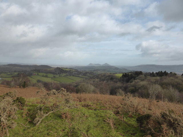 Photo could not load
SJ1807 : View to the Breidden Hills from Y Golfa near Welshpool
Jeremy Bolwell
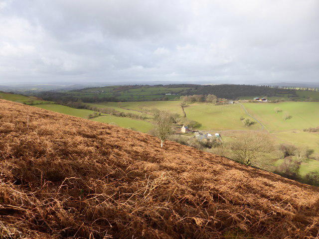 Photo could not load
SJ1807 : View from Y Golfa near Welshpool
Jeremy Bolwell
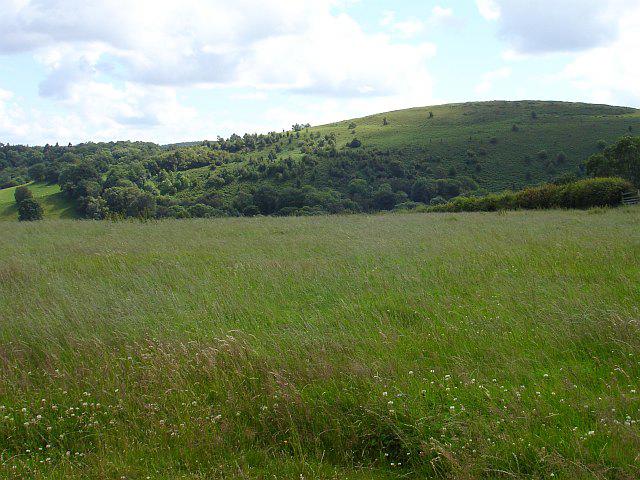 Photo could not load
SJ1807 : Y Golfa
Penny Mayes
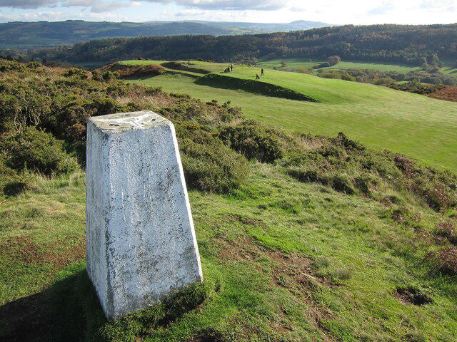 Photo could not load
SJ1806 : Trig point on Y Golfa, 1108' / 341m
Dave Croker
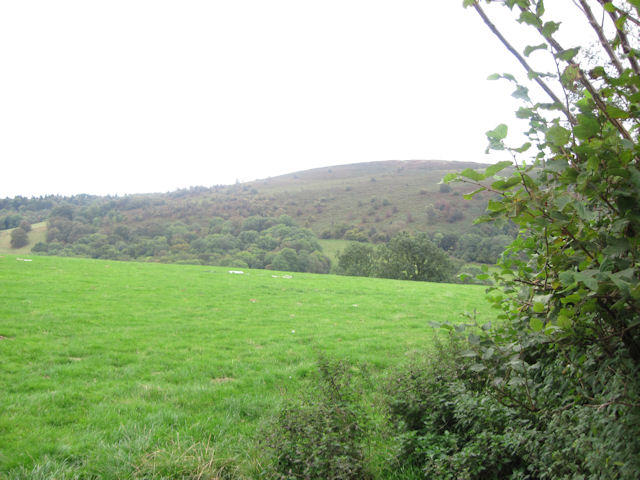 Photo could not load
SJ1807 : Y Golfa
John Firth
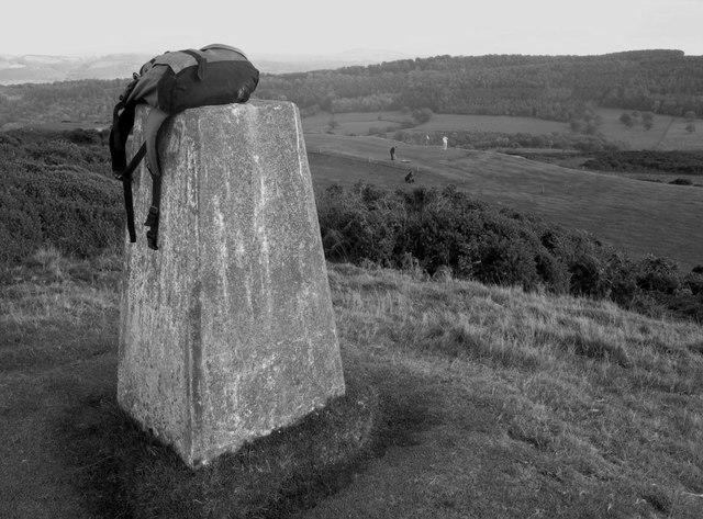 Photo could not load
SJ1807 : Y Golfa
Rude Health
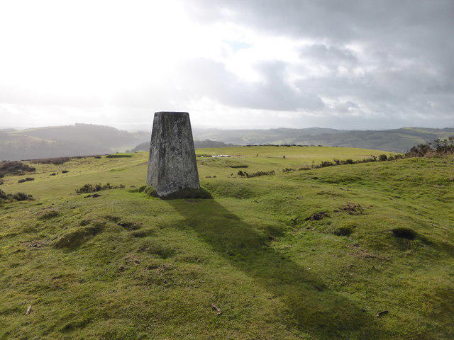 Photo could not load
SJ1807 : The trig point on Y Golfa near Welshpool
Jeremy Bolwell
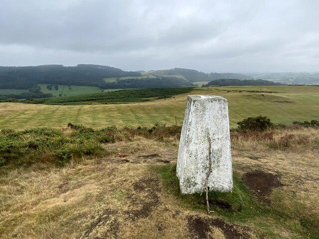 Photo could not load
SJ1807 : Trig point on Y Golfa, 1108' / 341m
John H Darch
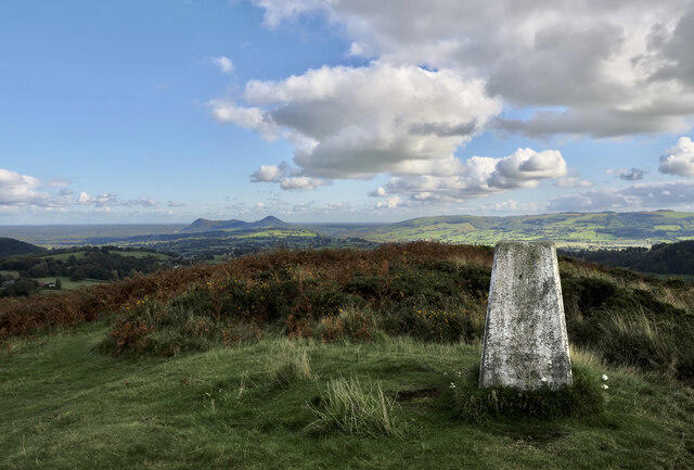 Photo could not load
SJ1807 : Trig point on Y Golfa
Trevor Littlewood
Hill facts and local notes
Classifications
Elevation
341m
1,120 ft
Prominence
165m
Coordinates
52.6553, -3.2100
SJ182070
OS Map
125
Explorer: 216 239
At the Summit
At the summit, you'll find a small stone cairn, a perfect spot for a cheeky selfie with the rolling hills in the background.
Terrain & Geology
The hillside is predominantly composed of sedimentary rocks, primarily mudstones and sandstones, which are typical for the area and contribute to the gentle rolling hills characteristic of the region.
Views & Scenery
The summit offers panoramic views of the surrounding countryside, including glimpses of the distant Brecon Beacons and the picturesque Llandrindod Wells.
History & Heritage
Name Origin
The name 'Y Golfa' translates to 'The Ridge' in Welsh, reflecting the mountain's elongated shape.
Historical Significance
Historically, Y Golfa has been a favourite among local walkers and is often regarded as a hidden gem in the landscape of the Welsh Borders.
Getting There & Facilities
Check current local access restrictions, parking rules and transport timetables before travelling. These notes do not confirm public access to the summit.
Parking
Parking is available at Llandrindod Wells railway station, which provides easy access to the trailhead.
Public Transport
Regular train services run to Llandrindod Wells from larger towns and cities, making it a convenient starting point for your adventure.
Nearby Facilities
In Llandrindod Wells, you'll find plenty of cafes and pubs where you can grab a bite or a warm drink. Public toilets are also available near the town centre.
Safety Information
Known Hazards
- The terrain can be slippery when wet, and visibility can be poor in fog. Watch out for livestock in the fields, as they can be as curious as they are obstructive!
General Safety Tips
- Check weather conditions before setting out
- Carry appropriate clothing and equipment
- Let someone know your planned route
- Take a map, compass, and GPS device
- Carry emergency supplies: food, water, first aid kit, torch
Hills
Some common questions about the hills answered
Are there group walks up Y Golfa?
Many walkers use Walkmates to join or organise walks with others. You can check for group walks around Y Golfa through the maps
Are there other walkers around Y Golfa?
Activity varies by location and time, but Walkmates lets you see whether others have shared walks or shown interest in this area. Find other people through the walking friends search walking friends for Y Golfa search or of course create your own walk for Y Golfa
Can I organise a walk to Y Golfa?
Yes. If there aren’t any walks listed already, you can create a walk and make it available for others to join.
If you're signed up to Walkmates, you can create a walk to Y Golfa.
How do I find a walk up this hill?
There are often multiple ways to walk this hill, depending on experience and route preference. Walkmates helps you explore walks and routes that others have shared.
Can I suggest a new route up Y Golfa?
Yes. You can suggest or create routes to share with others. Walkmates focuses on the social side of walking, so routes are used to help people organise walks and explore areas together, rather than as detailed navigation tools or route libraries.
Other uses really appreciate knowledgeable walkers sharing their routes. Share your favourite route to Y Golfa here
The is an error or something incorrect about this hill. How do I let you know?
We always strive to keep the information on Walkmates as accurate as possible. If you find an error, please let us know through the contact form and we'll aim to correct it as quickly as possible
Community Discussion
Comments
Location
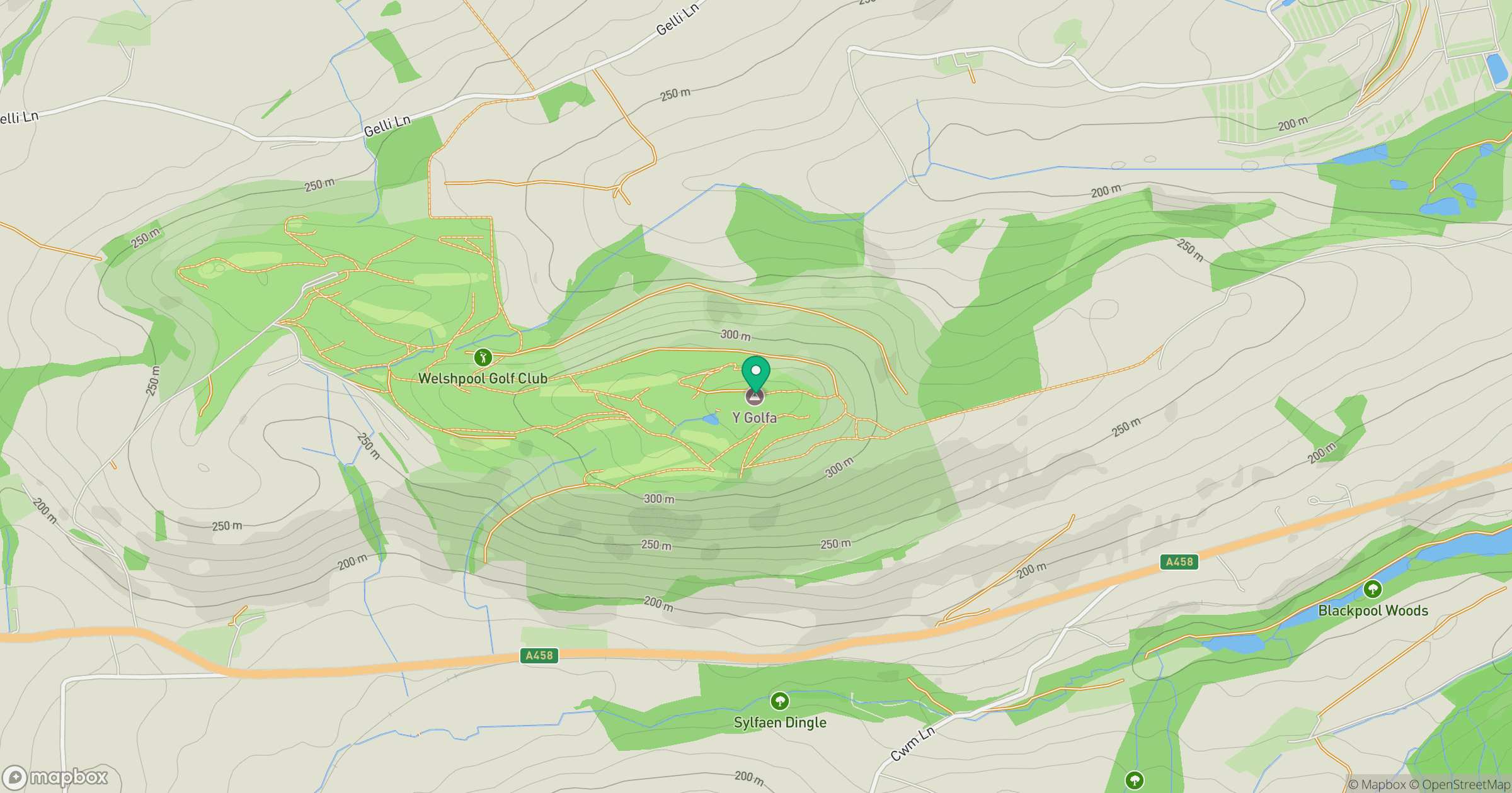
Grid reference: SJ182070
View on OpenStreetMapOpens a map in a new tab, centred on the hill.
Hills within 30 km
Straight-line distance, not a walking route or confirmation of access.
No comments yet. Be the first.