

Gallt yr Ancr
Good walks are even better shared.
Overview
Gallt yr Ancr: An Adventurous Ascent to Breathtaking Heights
Nestled in the heart of Snowdonia National Park, Gallt yr Ancr stands proudly at an elevation of 659 meters. This mountain is not just another lump of rock; it’s a beloved destination for hikers eager to expand their horizons and potentially lose their lunch (metaphorically speaking) during the exhilarating climb.
Geology
Gallt yr Ancr is primarily made up of volcanic rock, specifically andesite. This results from the area's fiery past and the massive volcanic activity that occurred millions of years ago. Its rugged terrain is precisely what gives this mountain such a charming character, making it a favourite amongst both novice and seasoned hikers.
Routes
The most popular route begins at Capel Curig, a quaint village that brims with charm and excellent facilities for hikers. The 5.5 km journey is manageable in about 2.5 hours, depending on how much you stop to take pictures of sheep or to catch your breath amid the sturdy climbs. In many ways, the route is a delightful mix of rocky paths and lush greenery, with a few boggy patches thrown in for that authentic backcountry experience.
Summit Features
When you finally reach the summit, you're greeted by a modest cairn and magnificent panoramas that will leave you in awe. Just watch out for the occasional gust of wind – it might just be Wales reminding you who's boss!
Views
The vistas from the top are well worth the journey, offering breathtaking views of nearby peaks such as Tryfan and Glyder Fawr. On a clear day, you can also feast your eyes on Llynnau Mymbyr shimmering in the distance.
Best seasons for these views are spring and early autumn when the landscape is a riot of colours and the chances of rainfall are less likely. Early morning or late evening can provide some serene experiences away from the crowds.
Hazards
Every rose has its thorn, and hiking isn’t without its challenges. Hikers should be wary of loose rocks and sudden weather changes that can sweep in like an uninvited relative. Always check the forecast and pack accordingly - it's much more fun to be well-prepared!
Access
Getting to Gallt yr Ancr is relatively straightforward. The nearest parking is right in Capel Curig, but it fills up quickly, so arrive early if possible. There’s also public transport available for those wanting to leave the car behind and go green.
Facilities
After your hike, the lovely cafes in Capel Curig offer a perfect spot to reflect on your adventure, with hot drinks and delicious snacks awaiting your arrival.
History
The name Gallt yr Ancr, meaning 'the slope of the anchor', hints at its historical significance related to navigation in the area. It may also feature in local folklore, making it a mountain with stories etched into every stone.
So pack your things, lace up your boots, and set off on an adventure that will put a spring in your step and a grin on your face! Remember, every good hike requires a good story, and there's no better place to create one than atop Gallt yr Ancr.
Explore routes near Gallt yr Ancr
Public walks starting within 80 km of this hill. Nearby does not mean a route reaches the summit; check its map and access before setting out.
Welshpool to Sweeps Bridge: Montgomery Canal and Belan Locks
View route
Oswestry Walk with Men Walking & Talking
View route
Waun-oer, Maesglase and Cribin Fawr guided mountain walk
View route
Llangollen to Horseshoe Falls: Canal Towpath from Market Street
View route
Route planning notes
These notes describe possible approaches, not verified navigable routes or permission to cross land. Check current paths, local access rules and conditions before setting out.
Capel Curig to Gallt yr Ancr
Starting from Capel Curig, this route takes you on a thrilling ascent towards the summit, offering stunning views along the way.
Make a day of it, together
Find someone to share the walk with, or organise a day out along a route you like.
Photo Gallery
View all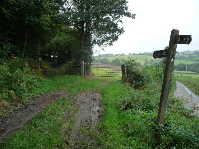 Photo could not load
SJ1413 : Part of Glyndwr's Way near Meifod
Jeremy Bolwell
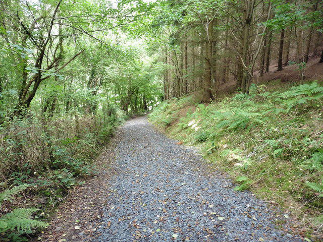 Photo could not load
SJ1413 : Glyndwr's Way near Meifod
Dave Kelly
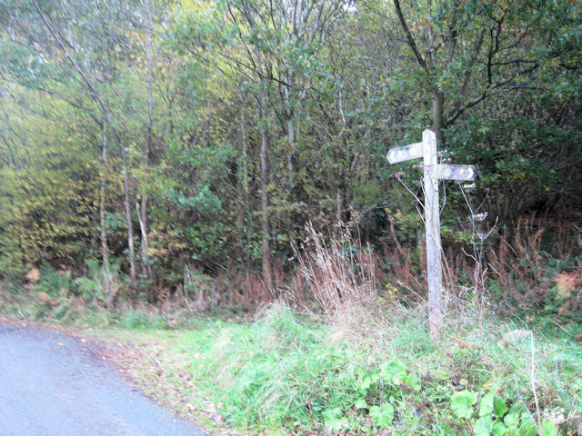 Photo could not load
SJ1413 : Start of footpath to Dyffryn Hall woods
John Firth
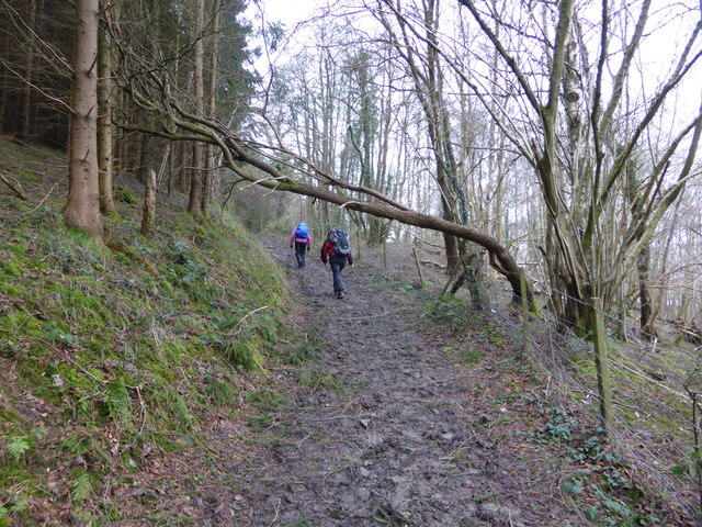 Photo could not load
SJ1413 : On part of Glyndwr's Way north of Meifod
Jeremy Bolwell
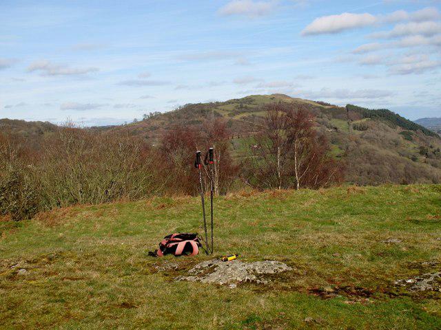 Photo could not load
SJ1413 : Gallt yr Ancr
Rude Health
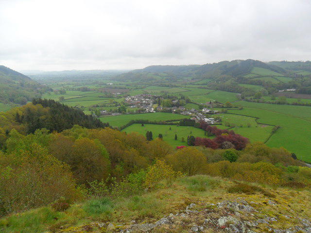 Photo could not load
SJ1413 : Gallt yr Ancr, Meifod, Powys
Martin Evans
Hill facts and local notes
Classifications
Elevation
225m
737 ft
Prominence
102m
Coordinates
52.7084, -3.2658
SJ145130
OS Map
125
Explorer: 239
At the Summit
The summit of Gallt yr Ancr features a modest cairn and a rocky outcrop, providing a perfect spot to take in the breathtaking views.
Terrain & Geology
Gallt yr Ancr is predominantly composed of volcanic rock, mainly andesite, which is common in the Snowdonia region due to its geological history stemming from volcanic activity millions of years ago. This rock type contributes to the mountain's rugged landscape and steep ascents.
Views & Scenery
From the summit, you can enjoy stunning vistas of the surrounding mountains including Tryfan and the Glyderau, as well as views down to the picturesque Llynnau Mymbyr.
History & Heritage
Name Origin
The name 'Gallt yr Ancr' translates to 'the slope of the anchor' in Welsh, possibly referencing its navigation-related heritage.
Historical Significance
This mountain has been a part of local folklore and history, often seen as a rite of passage for hikers in the area.
Getting There & Facilities
Check current local access restrictions, parking rules and transport timetables before travelling. These notes do not confirm public access to the summit.
Parking
There's a small parking area near Capel Curig which serves as the primary access point for the hike. It can fill up quickly on weekends and holidays.
Public Transport
Buses run from nearby towns to Capel Curig, making it accessible without a car. Check local schedules ahead of your visit.
Nearby Facilities
There are a few cafes and toilets in Capel Curig to cater to hikers' needs before and after their adventure.
Safety Information
Known Hazards
- Loose rocks, sudden weather changes, and steep drops. Ensure you’re well-prepared and keep an eye on the weather forecast.
General Safety Tips
- Check weather conditions before setting out
- Carry appropriate clothing and equipment
- Let someone know your planned route
- Take a map, compass, and GPS device
- Carry emergency supplies: food, water, first aid kit, torch
Hills
Some common questions about the hills answered
Are there group walks up Gallt yr Ancr?
Many walkers use Walkmates to join or organise walks with others. You can check for group walks around Gallt yr Ancr through the maps
Are there other walkers around Gallt yr Ancr?
Activity varies by location and time, but Walkmates lets you see whether others have shared walks or shown interest in this area. Find other people through the walking friends search walking friends for Gallt yr Ancr search or of course create your own walk for Gallt yr Ancr
Can I organise a walk to Gallt yr Ancr?
Yes. If there aren’t any walks listed already, you can create a walk and make it available for others to join.
If you're signed up to Walkmates, you can create a walk to Gallt yr Ancr.
How do I find a walk up this hill?
There are often multiple ways to walk this hill, depending on experience and route preference. Walkmates helps you explore walks and routes that others have shared.
Can I suggest a new route up Gallt yr Ancr?
Yes. You can suggest or create routes to share with others. Walkmates focuses on the social side of walking, so routes are used to help people organise walks and explore areas together, rather than as detailed navigation tools or route libraries.
Other uses really appreciate knowledgeable walkers sharing their routes. Share your favourite route to Gallt yr Ancr here
The is an error or something incorrect about this hill. How do I let you know?
We always strive to keep the information on Walkmates as accurate as possible. If you find an error, please let us know through the contact form and we'll aim to correct it as quickly as possible
Community Discussion
Comments
Location
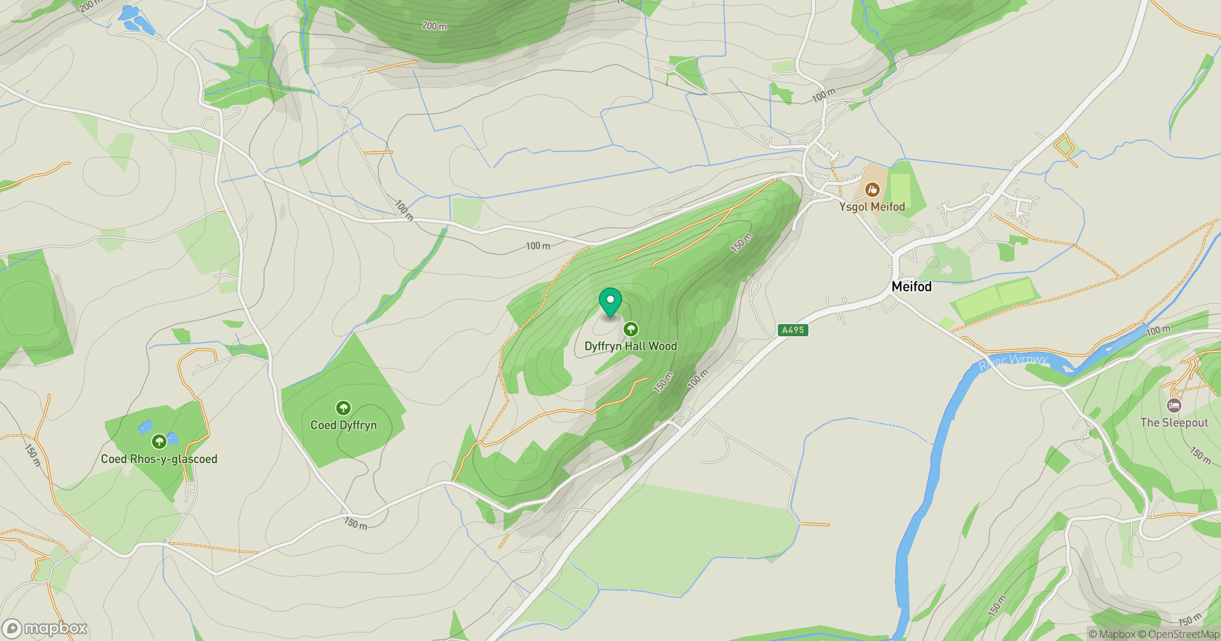
Grid reference: SJ145130
View on OpenStreetMapOpens a map in a new tab, centred on the hill.
Hills within 30 km
Straight-line distance, not a walking route or confirmation of access.
No comments yet. Be the first.