
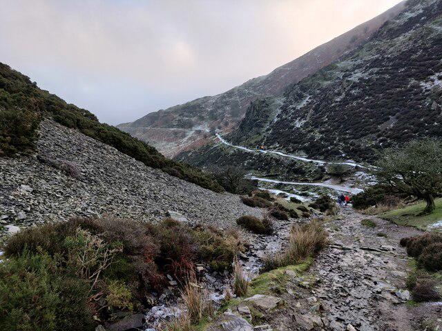
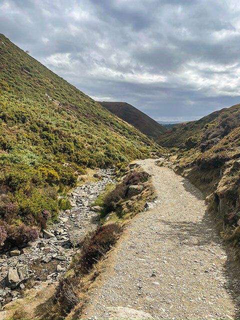
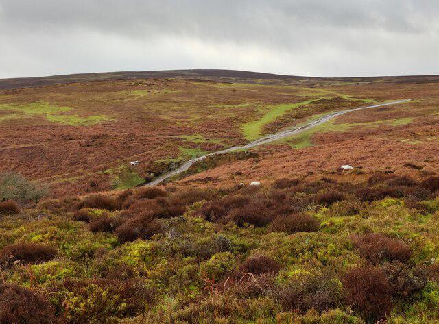
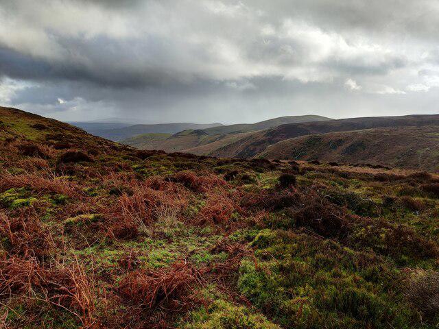
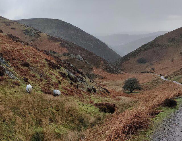
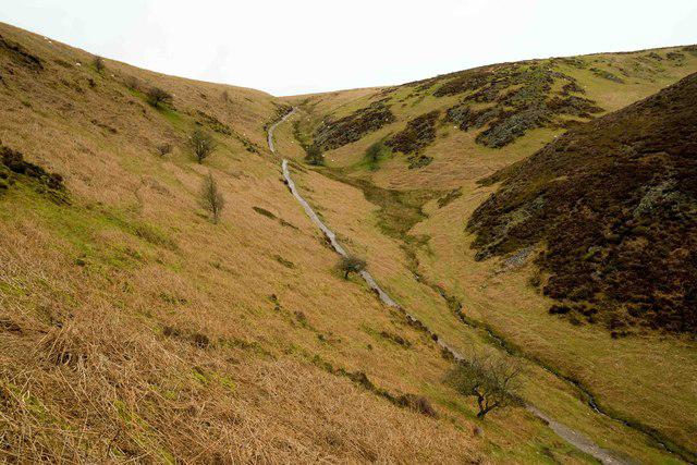
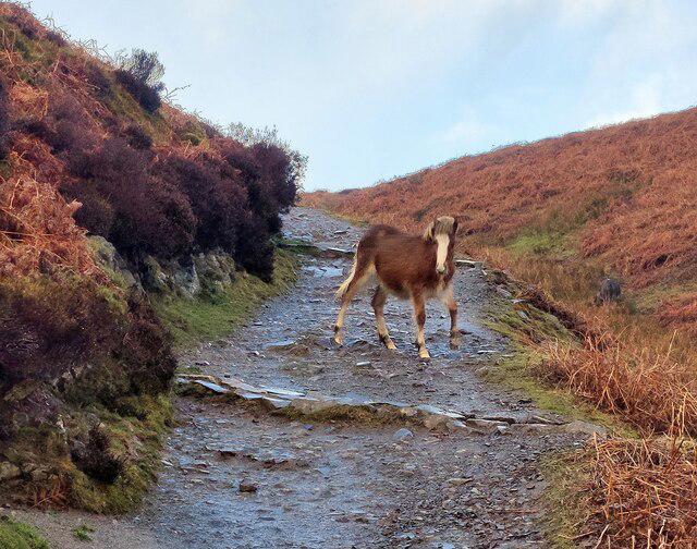
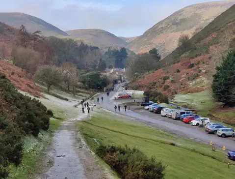
Image shared for Lightspout Waterfall via Carding Mill Valley Circular
Upland / Hill Circular

Lightspout Waterfall via Carding Mill Valley Circular

Shropshire

Distance
2.6 mi
Est. time
2h 30m
Difficulty
Medium
PaulWalkmates Route by PaulWalkmates

About this walk

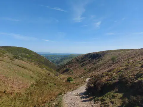
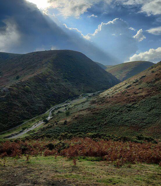
Lightspout Waterfall via Carding Mill Valley Circular is a cracking Shropshire walk that takes you through one of the most beautiful parts of the Long Mynd. Starting from Carding Mill Valley, the route climbs steadily into open hill country before leading you to Lightspout Waterfall, where water tumbles down a rocky cleft in the hillside.

The walk mixes valley paths, upland tracks, and wide moorland views, so it feels varied the whole way round. On a clear day, the scenery really opens up, with big rolling landscapes and that classic exposed Long Mynd feel.

Some sections can be steep, uneven, and muddy, especially after rain, so decent boots are the right call. The higher ground can also feel quite exposed when the weather turns, so bring waterproofs and an extra layer even if it looks fine when you set off.

It’s a rewarding circular with a bit of everything: peaceful valley walking, a proper waterfall stop, and broad hilltop views that make the climb worth it.

Walk details

County
Shropshire
Main location
Church Stretton
Nearby town
Church Stretton
Walk type
Circular
Category
Upland / Hill
Distance
2.6 mi (4.3 km)
Est. time
2h 30m
Explorer
Yes, off the beaten track

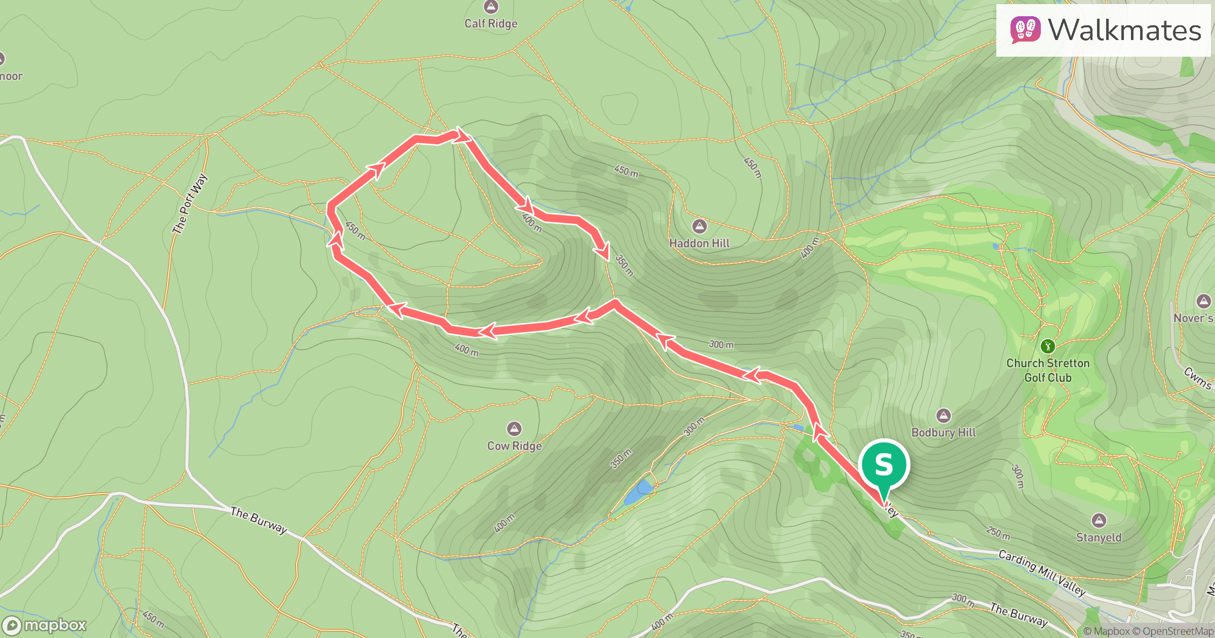
Route map

Use the route details to plan your walk

If the map image does not load, the route description and starting-point details are still on this page.

Route map for Lightspout Waterfall via Carding Mill Valley Circular

The interactive map will load when you reach this section.

Where to start

Directions to start
///tenure.zipped.newest

Walking on your own?

Start when you're ready and add the walk to your history. No group date needed.

Save the route

This walk is waiting for a date

Not ready to pick a date? Follow it and you'll hear when somebody else does.

No commitment. You can follow it now and pick a date later.

Along the route

7 places
National Trust
Information
Guidepost
Navigation · 0.2 mi along
Light Spout
Waterfall · 1.0 mi along
Guidepost
Navigation · 2.0 mi along
Guidepost
Navigation · 2.0 mi along
Toilets
Essentials · 2.6 mi along
National Trust Tea Rooms
Cafe · 2.6 mi along

Joining a walk

A few things to know before you make plans.

Can I join if no one else is going?

You can be the first to join a scheduled walk. A suggested date is an idea for a group walk; choose Set this date up to organise it. Check the participant list and meeting details before setting off.

What if there is no date yet?

Choose Put a date on this walk to organise a group walk. Not ready to choose a day? Follow the route for scheduling updates, or save it for later.

What does the organiser do?

The organiser sets the date and meeting details and helps the group get started. They are a fellow walker and may be new to the route too.

Each walker is responsible for their own safety and navigation. Check the route, weather, equipment and whether the walk suits your experience and fitness.

Can I walk this route on my own?

Yes. Choose Walk this route on your own to open the start screen, then start when you are ready. Finish the walk to add it to your walking history. You do not need a group date.

What happens after I join?

Use the walk page to check meeting details, updates and who is going. Check in from 24 hours before the start to let the group know you still plan to come.

How do I confirm plans with the group?

Check the participant list and check-ins, and message the organiser or other walkers to confirm where to meet and who is coming. This is especially useful when the group is small.
