
Long Mountain
Good walks are even better shared.
Overview
Long Mountain
Long Mountain, standing at an impressive 425 meters, is a stunning feature of the Shropshire Hills and a beloved hiking destination. It's characterised by its sweeping grassy slopes, rocky outcrops, and spectacular views that are well worth the ascent.
Geology
The landscape of Long Mountain is shaped by Silurian sedimentary rocks. These ancient formations tell a history of geological activity that has taken place over millions of years. The sculpting of the mountain by glacial forces has created a striking terrain that is both beautiful and fascinating.
Routes
Several routes lead to the summit of Long Mountain, catering to different levels of hikers:
- Llanfair Caereinion to Long Mountain: This 8.5 km route is one of the most popular. Starting in the quaint town of Llanfair Caereinion, hikers can enjoy a mix of woodland and open fields, perfect for a relaxing trek.
- Bwlch y Sarnau: For those in search of a shorter hike, this 3.5 km route offers a straightforward path to the summit, ideal for a quick getaway.
Summit Features
At the summit, hikers will find a stone-built trig point. It's a great spot for enjoying the views and capturing some Instagram-worthy photos (just try to be less sheepish about it!).
Terrain
Expect a mixture of grassy paths and rocky areas, dotted with the occasional bog, just to keep you alert as you traverse the landscape. It's a good idea to wear sturdy boots!
Views
From the summit, the panoramic views are nothing short of awe-inspiring. You can see the stunning Shropshire Hills and, on a clear day, even reach your eyes to the distant peaks of the Brecon Beacons. The best times for these views are typically spring and autumn when nature flaunts its vibrant colours.
Hazards
As with any hike, there are a few hazards to keep in mind. The terrain can be muddy after rain, and don’t forget to look out for the local sheep; they tend to have the right of way!
Access
Parking is conveniently located near Llanfair Caereinion, where you can start your adventures. If you prefer public transport, buses from Welshpool frequently service the area.
Facilities
After your hike, treat yourself to a lovely café in town. There are various options available for refreshments.
History
The name 'Long Mountain' accurately describes its elongated form. This mountain bears significant cultural heritage, having been the site of ancient settlements and pathways through the lush hills.
In summary, Long Mountain is a gem in the heart of Shropshire, offering a delightful blend of nature, history, and stunning vistas. Go on, lace up those boots and give it a whirl!
Explore routes near Long Mountain
Walks starting near this hill. Open a route to check its map, distance and full itinerary.
Welshpool to Sweeps Bridge: Montgomery Canal and Belan Locks
View route
Lightspout Waterfall via Carding Mill Valley Circular
View route
Carding Mill Valley and The Long Mynd walk
View route
Attingham Park Deer Park and River Tern
View route
Route planning notes
These notes describe possible approaches. Check a route's map and access information when planning your walk.
Llanfair Caereinion to Long Mountain
A picturesque route starting from the charming town of Llanfair Caereinion, offering a mix of woodland, open fields, and exhilarating views.
Bwlch y Sarnau
A shorter yet rewarding route taking you through scenic paths leading directly to the summit, perfect for a quick escape into nature.
Make a day of it, together
Find someone to share the walk with, or organise a day out along a route you like.
Hill facts and local notes
Classifications
Elevation
408m
1,339 ft
Prominence
305m
Coordinates
52.6452, -3.0881
SJ264058
OS Map
126
Explorer: 216
At the Summit
The summit features a stone-built trig point, which is a popular spot for photos – just try not to photobomb any sheep!
Terrain & Geology
Long Mountain is predominantly composed of Silurian sedimentary rocks which have been shaped by glacial and erosional processes, giving it both scenic beauty and intriguing geological features.
Views & Scenery
Stunning views of the surrounding Shropshire Hills, including the distant Brecon Beacons and a clear day offers a glimpse of the Welsh mountains.
History & Heritage
Name Origin
The name 'Long Mountain' reflects its elongated form as it stretches across the landscape, making it a literal descriptor.
Historical Significance
It is known for its rich cultural heritage, including ancient settlements and historical routes through the Shropshire Hills.
Getting There & Facilities
Parking
There's free parking available at Llanfair Caereinion with easy access to several walking routes.
Public Transport
The nearest bus service operates from Welshpool, offering regular connections to Llanfair Caereinion.
Nearby Facilities
Llanfair Caereinion has several cafés and shops where you can stock up on essentials and enjoy some refreshments post-hike.
Safety Information
Known Hazards
- Beware of potential muddy areas, especially after rain, and always mind the sheep; they're often more stubborn than your average hiker!
General Safety Tips
- Check weather conditions before setting out
- Carry appropriate clothing and equipment
- Let someone know your planned route
- Take a map, compass, and GPS device
- Carry emergency supplies: food, water, first aid kit, torch
Hills
Some common questions about the hills answered
Are there group walks up Long Mountain?
Many walkers use Walkmates to join or organise walks with others. You can check for group walks around Long Mountain through the maps
Are there other walkers around Long Mountain?
Activity varies by location and time, but Walkmates lets you see whether others have shared walks or shown interest in this area. Find other people through the walking friends search walking friends for Long Mountain search or of course create your own walk for Long Mountain
Can I organise a walk to Long Mountain?
Yes. If there aren’t any walks listed already, you can create a walk and make it available for others to join.
If you're signed up to Walkmates, you can create a walk to Long Mountain.
How do I find a walk up this hill?
There are often multiple ways to walk this hill, depending on experience and route preference. Walkmates helps you explore walks and routes that others have shared.
Can I suggest a new route up Long Mountain?
Yes. You can suggest or create routes to share with others. Walkmates focuses on the social side of walking, so routes are used to help people organise walks and explore areas together, rather than as detailed navigation tools or route libraries.
Other uses really appreciate knowledgeable walkers sharing their routes. Share your favourite route to Long Mountain here
The is an error or something incorrect about this hill. How do I let you know?
We always strive to keep the information on Walkmates as accurate as possible. If you find an error, please let us know through the contact form and we'll aim to correct it as quickly as possible
Community Discussion
Comments
Location
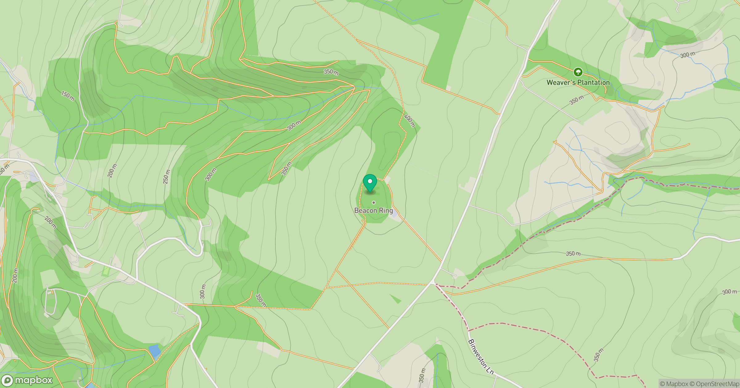
Grid reference: SJ264058
View on OpenStreetMapOpens a map in a new tab, centred on the hill.
No comments yet. Be the first.