

Waddington Fell
Good walks are even better shared.
SD7147 : Waddington Fell
Peter McDermott Photo source
Overview
Waddington Fell
Waddington Fell is a gem nestled in the Forest of Bowland that promises the sort of views that can induce a serious case of wanderlust. Standing at 510 meters, it’s not the tallest mountain out there, but it crams a lot of scenic beauty into its stature.
Geology
The fell is predominantly limestone, giving rise to its distinctive features like karst landscapes and rocky outcrops. This unique geology not only shapes the land but also houses a variety of wildlife.
Access and Parking
Finding your way to Waddington Fell is quite straightforward. You can park at a small lot near Waddington village. Just be sure to arrive early during peak times as parking spots can become scarce quicker than you can say, “Where’s the nearest café?”
Routes
One popular trail begins at the village of Waddington. This moderately challenging route spans around 5 km and should take about 2 hours, depending on how often you stop to admire the views (or catch your breath!).
Summit Features
At the summit, hikers are greeted with a robust stone cairn and a trig point that just begs to be photobombed. Be sure to bring a snack to enjoy while soaking in the views.
Views
The vistas from the top are nothing short of breathtaking. Gaze out at the expansive Bowland Fells, and if you’re lucky, you might catch a glimpse of the Lake District on clear days. Spring and early summer are ideal for visits, as the blooms create a picturesque landscape.
Hazards
Always remember, the weather can be as temperamental as a toddler! Prepare for sudden shifts and avoid the boggy areas unless you fancy a muddy adventure.
Nearby Summits
Waddington Fell is surrounded by other notable peaks like Pendle Hill and Miresdale, both well worth a visit while you’re in the area.
Conclusion
Overall, Waddington Fell is a delightful outing for hikers of all levels, serving up both natural beauty and a dash of history. Don’t forget your camera, and maybe a friend to share the experience — there’s nothing like a good banter at the summit!
Explore routes near Waddington Fell
Walks starting near this hill. Open a route to check its map, distance and full itinerary.
Clitheroe Walk with Men Walking & Talking
View route
Stocks Reservoir: full circuit from School Lane
View route
Brockholes Reserve Tour
View route
Brockholes Wildflower Year guided walk
View route
Route planning notes
These notes describe possible approaches. Check a route's map and access information when planning your walk.
Waddington to Waddington Fell
A gentle ascent from the village of Waddington follows a well-marked path through beautiful countryside.
Make a day of it, together
Find someone to share the walk with, or organise a day out along a route you like.
Photo Gallery
View all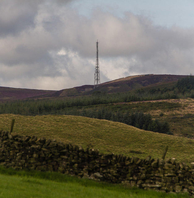 Photo could not load
SD7147 : Waddington Fell
Peter McDermott
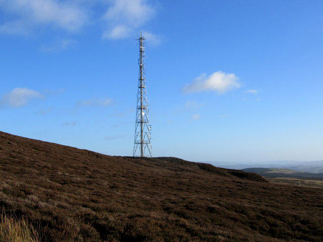 Photo could not load
SD7147 : Radio Transmission Mast on Waddington Fell
Chris Heaton
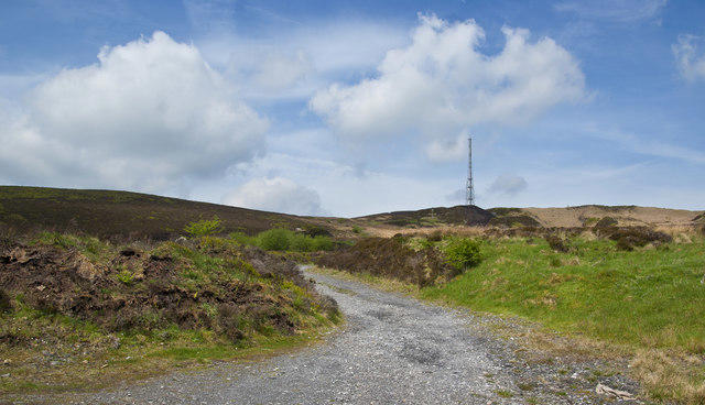 Photo could not load
SD7147 : The signals mast on Waddington Hill
Ian Greig
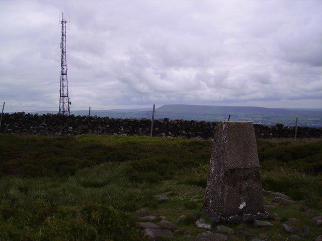 Photo could not load
SD7147 : Trig Pillar Waddington Fell
Michael Graham
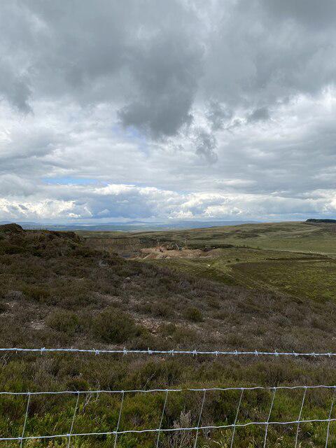 Photo could not load
SD7147 : Quarry
thejackrustles
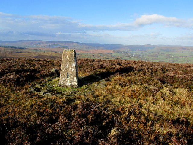 Photo could not load
SD7147 : Trig Point on Waddington Fell
Chris Heaton
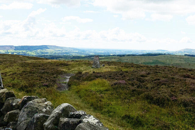 Photo could not load
SD7147 : Newton Fell Trig Point
thejackrustles
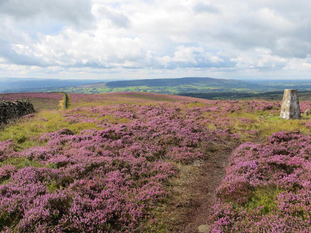 Photo could not load
SD7147 : View from Newton Fell Triangulation Pillar
Peter Wood
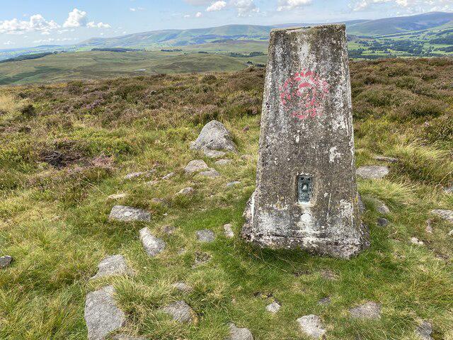 Photo could not load
SD7147 : Newton Fell Trig Point Flush Bracket S4698
thejackrustles
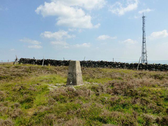
SD7147 : Waddington Fell
Rude Health
Hill facts and local notes
Classifications
Elevation
396m
1,298 ft
Prominence
52m
Coordinates
53.9229, -2.4355
SD714475
OS Map
103
Explorer: OL41E
At the Summit
The summit features a large stone cairn and a trig point, providing a perfect spot for a photo or to contemplate your life choices while munching on your lunch.
Terrain & Geology
Waddington Fell is primarily composed of limestone, which is notable for its karst landscapes. The unique geological features including limestone pavements and scattered sinkholes give the fell its distinctive character.
Views & Scenery
From the summit, you can enjoy panoramic views of the Bowland Fells, the Yorkshire Dales, and on a clear day, the Lake District is visible in the distance.
History & Heritage
Name Origin
The name 'Waddington' is thought to derive from Old English, meaning 'farmstead of Wadda's people'.
Historical Significance
The fell has been part of local folklore, often whispered about in old tales for its captivating views and mysterious nature.
Getting There & Facilities
Parking
There is a small car park just off the B6478 road, near the village of Waddington. Limited spaces are available, so arrive early on sunny weekends!
Public Transport
Buses run regularly from Clitheroe to Waddington. The village is a charming starting point for your adventure.
Nearby Facilities
In the village of Waddington, you'll find a couple of quaint cafes and pubs for refreshments. Public toilets are also available near the village green.
Safety Information
Known Hazards
- Watch out for sudden changes in weather; it can be sunny one minute and 'raining cats and dogs' the next. Also, avoid straying off the path as some areas can be boggy.
General Safety Tips
- Check weather conditions before setting out
- Carry appropriate clothing and equipment
- Let someone know your planned route
- Take a map, compass, and GPS device
- Carry emergency supplies: food, water, first aid kit, torch
Hills
Some common questions about the hills answered
Are there group walks up Waddington Fell?
Many walkers use Walkmates to join or organise walks with others. You can check for group walks around Waddington Fell through the maps
Are there other walkers around Waddington Fell?
Activity varies by location and time, but Walkmates lets you see whether others have shared walks or shown interest in this area. Find other people through the walking friends search walking friends for Waddington Fell search or of course create your own walk for Waddington Fell
Can I organise a walk to Waddington Fell?
Yes. If there aren’t any walks listed already, you can create a walk and make it available for others to join.
If you're signed up to Walkmates, you can create a walk to Waddington Fell.
How do I find a walk up this hill?
There are often multiple ways to walk this hill, depending on experience and route preference. Walkmates helps you explore walks and routes that others have shared.
Can I suggest a new route up Waddington Fell?
Yes. You can suggest or create routes to share with others. Walkmates focuses on the social side of walking, so routes are used to help people organise walks and explore areas together, rather than as detailed navigation tools or route libraries.
Other uses really appreciate knowledgeable walkers sharing their routes. Share your favourite route to Waddington Fell here
The is an error or something incorrect about this hill. How do I let you know?
We always strive to keep the information on Walkmates as accurate as possible. If you find an error, please let us know through the contact form and we'll aim to correct it as quickly as possible
Community Discussion
Comments
Location
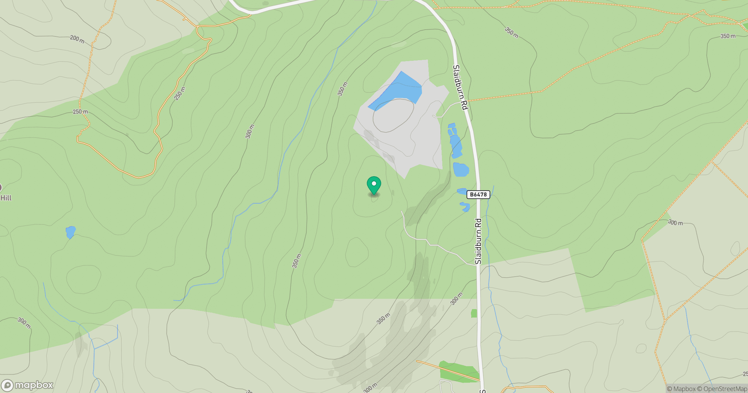
Grid reference: SD714475
View on OpenStreetMapOpens a map in a new tab, centred on the hill.




No comments yet. Be the first.