

Tre-pys-llygod
Good walks are even better shared.
Overview
Welcome to Tre-pys-llygod
Nestled in the heart of the majestic Snowdonia National Park, Tre-pys-llygod stands at an elevation of 600 meters. A lesser-known gem dotted amongst the giants of Wales, it offers rewarding views and invigorating walks, minus the crowds.
Geology
This mountain’s rugged landscape is predominantly composed of slate, interspersed with the odd volcanic intrusion, creating a fascinating mosaic of rock types. If you’re keen on geology, bring a hammer and notepad (just kidding, please don’t!).
Access and Parking
Fron Goch is the main starting point for the most popular route, with parking available at the quaint village of Ceunant. It’s advised to arrive early, as spaces fill up faster than you can say “bacon butty.” If public transport is more your style, head to Penygroes, about 6 km away. Don’t forget your walking boots!
Routes
There are a couple of main routes to the summit. The Fron Goch Route is a moderate trek, winding through enchanting woodlands before climbing the rocky paths of Tre-pys-llygod. For the more adventurous, the Bwlch Maesgwm Approach is sure to get your heart racing!
Summit Features
At the summit, not only will you find a charming stone cairn and trig point, but on clear days, the views are nothing short of breathtaking. Just watch out for those sly sheep who might confuse your exhaustion for their resting place!
Hazards
As with any mountain adventure, be cautious of loose rocks and stubborn sheep, and remember that weather conditions can change faster than you can scramble up a hill. Fog is particularly mischievous around these parts, so keep an eye on the sky!
Nearby Summits
If you're feeling particularly adventurous, you might want to bag nearby Y Garn or Elidir Fawr after conquering Tre-pys-llygod—your ambition will be rewarded.
History
The name 'Tre-pys-llygod' evokes local folklore, translating to 'the place of the sleeping spirits.' As you hike, ponder on the stories and legends that have unfolded here throughout history.
Conclusion
In conclusion, Tre-pys-llygod is a marvelous mountain offering a mix of challenge and sheer beauty. Perfect for a weekend wander, with opportunities to regale your friends with tales of your triumphs (and maybe a few falls).
So, lace up your boots and get ready for an adventurous day out!
Explore routes near Tre-pys-llygod
Public walks starting within 80 km of this hill. Nearby does not mean a route reaches the summit; check its map and access before setting out.
Conwy Quay to Llanfairfechan: the upland coast-path alternative
View route
Llyn Crafnant: Lakeside Circuit from the NRW Car Park
View route
Dyserth to Prestatyn: old railway walkway return
View route
Snowdon Pyg Track returning by Miner's Track
View route
Route planning notes
These notes describe possible approaches, not verified navigable routes or permission to cross land. Check current paths, local access rules and conditions before setting out.
Fron Goch Route
This moderate route starts from Fron Goch and winds through picturesque woodlands before ascending the rocky slopes of Tre-pys-llygod.
Bwlch Maesgwm Approach
A more challenging hike, this path begins at Bwlch Maesgwm, offering a steeper ascent with stunning views.
Make a day of it, together
Find someone to share the walk with, or organise a day out along a route you like.
Photo Gallery
View all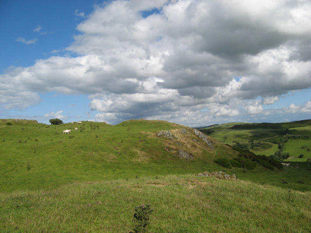 Photo could not load
SH8968 : Sheep pasture
Jonathan Wilkins
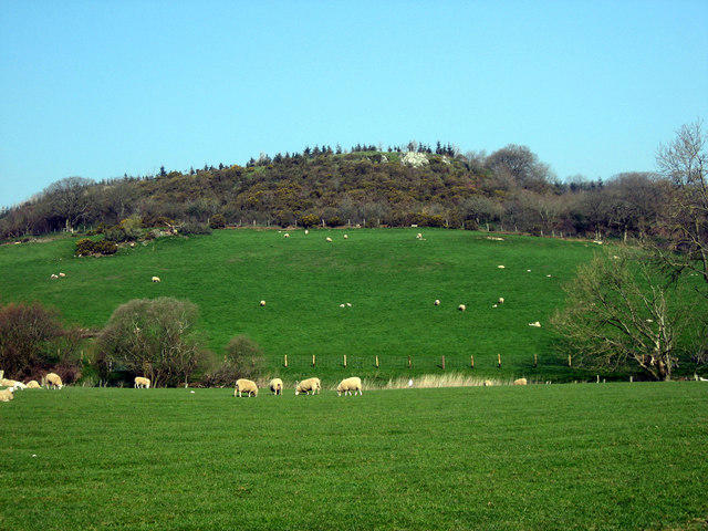 Photo could not load
SH8968 : .319 Tre- pys-llygod
Alwyn Williams
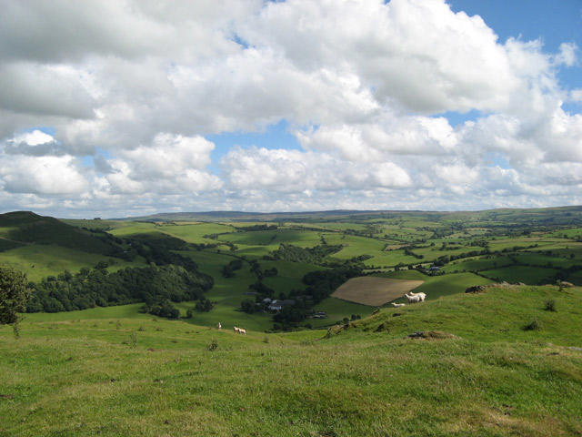 Photo could not load
SH8968 : View from Tre Pys Llygod
Jonathan Wilkins
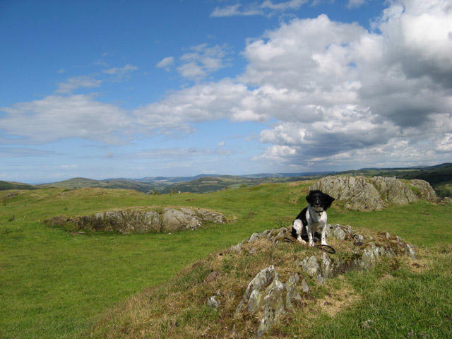 Photo could not load
SH8968 : Summit with rock outcrops
Jonathan Wilkins
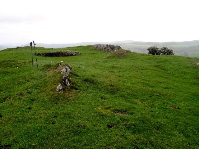 Photo could not load
SH8968 : Tre-pys-llygod Summit View
Rude Health
Hill facts and local notes
Classifications
Elevation
320m
1,050 ft
Prominence
119m
Coordinates
53.2043, -3.6562
SH894687
OS Map
116
Explorer: OL17E
At the Summit
The summit features a weathered stone cairn and a stunning trig point, perfect for snapping that all-important summit selfie. Beware of the occasional sheep – they lie about their hiking experience.
Terrain & Geology
The mountain is primarily slate with occasional volcanic intrusions, providing a fascinating glimpse into the geological past of North Wales.
Views & Scenery
From the summit, you'll see the sprawling vistas of the Snowdon massif to the east, the rugged peaks of the Rhinogydd to the south, and on a clear day, the shimmering waters of Cardigan Bay to the west.
History & Heritage
Name Origin
The name 'Tre-pys-llygod' translates to 'the place of the sleeping spirits', a nod to local folklore.
Historical Significance
Historically, the mountain has been a site for various local legends and was once a popular spot for early Welsh hikers.
Getting There & Facilities
Check current local access restrictions, parking rules and transport timetables before travelling. These notes do not confirm public access to the summit.
Parking
Parking is available at the village of Ceunant, just a short drive away from the foot of Tre-pys-llygod. It can get busy on weekends, so arrive early to nab a spot.
Public Transport
Public transport options are limited; however, the nearest bus stop is in the village of Penygroes, approx. 6 km from the mountain base.
Nearby Facilities
In Llanberis, you'll find plenty of cafes, pubs, and public toilets, making it a great place to refuel after your hike.
Safety Information
Known Hazards
- Loose rocks and steep drops are common; be cautious, especially in wet conditions. Fog can roll in quickly, reducing visibility.
General Safety Tips
- Check weather conditions before setting out
- Carry appropriate clothing and equipment
- Let someone know your planned route
- Take a map, compass, and GPS device
- Carry emergency supplies: food, water, first aid kit, torch
Hills
Some common questions about the hills answered
Are there group walks up Tre-pys-llygod?
Many walkers use Walkmates to join or organise walks with others. You can check for group walks around Tre-pys-llygod through the maps
Are there other walkers around Tre-pys-llygod?
Activity varies by location and time, but Walkmates lets you see whether others have shared walks or shown interest in this area. Find other people through the walking friends search walking friends for Tre-pys-llygod search or of course create your own walk for Tre-pys-llygod
Can I organise a walk to Tre-pys-llygod?
Yes. If there aren’t any walks listed already, you can create a walk and make it available for others to join.
If you're signed up to Walkmates, you can create a walk to Tre-pys-llygod.
How do I find a walk up this hill?
There are often multiple ways to walk this hill, depending on experience and route preference. Walkmates helps you explore walks and routes that others have shared.
Can I suggest a new route up Tre-pys-llygod?
Yes. You can suggest or create routes to share with others. Walkmates focuses on the social side of walking, so routes are used to help people organise walks and explore areas together, rather than as detailed navigation tools or route libraries.
Other uses really appreciate knowledgeable walkers sharing their routes. Share your favourite route to Tre-pys-llygod here
The is an error or something incorrect about this hill. How do I let you know?
We always strive to keep the information on Walkmates as accurate as possible. If you find an error, please let us know through the contact form and we'll aim to correct it as quickly as possible
Community Discussion
Comments
Location
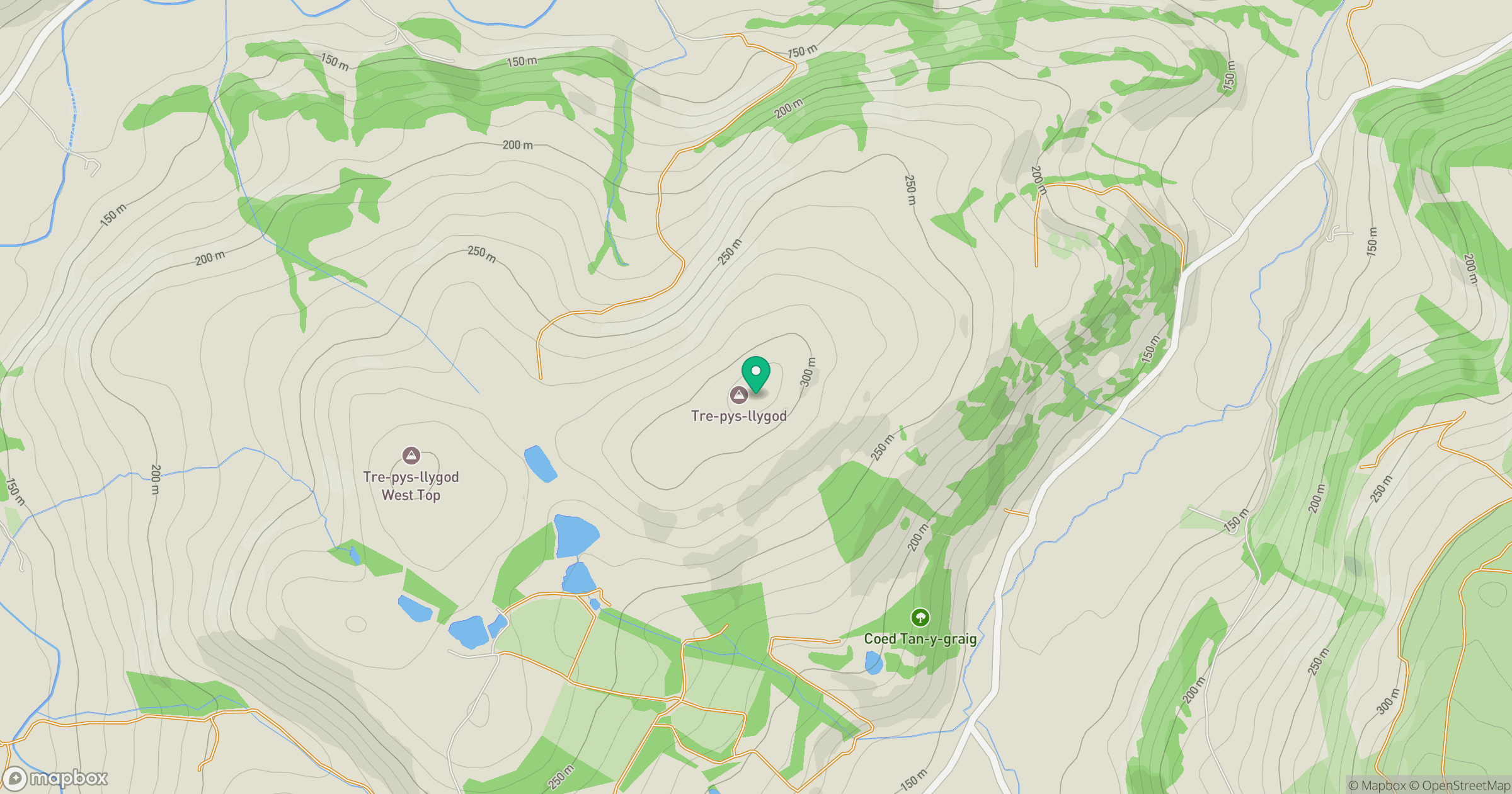
Grid reference: SH894687
View on OpenStreetMapOpens a map in a new tab, centred on the hill.
Hills within 30 km
Straight-line distance, not a walking route or confirmation of access.
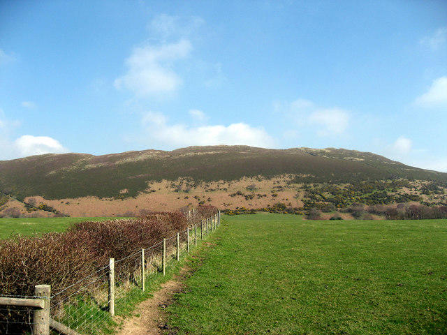
Mynydd Tryfan
402m
Great Orme [Y Gogarth]
207m
Moel Siabod
872m
Carnedd Llewelyn
1,062m
Carnedd Dafydd
1,044m
No comments yet. Be the first.