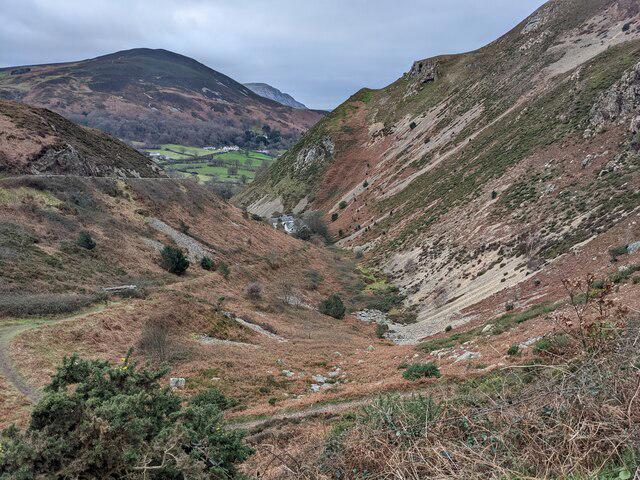
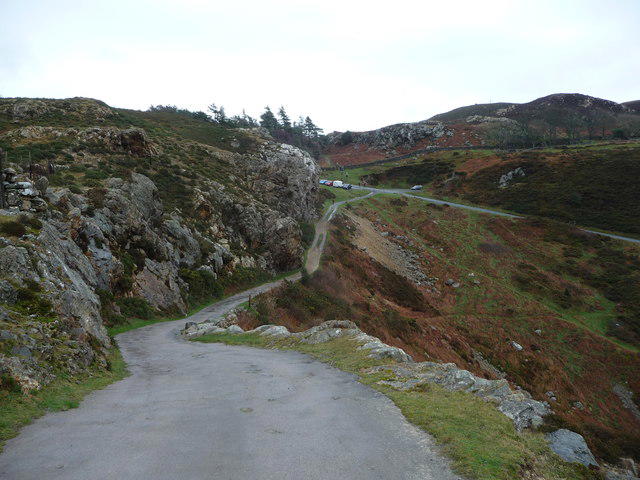
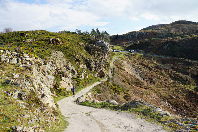
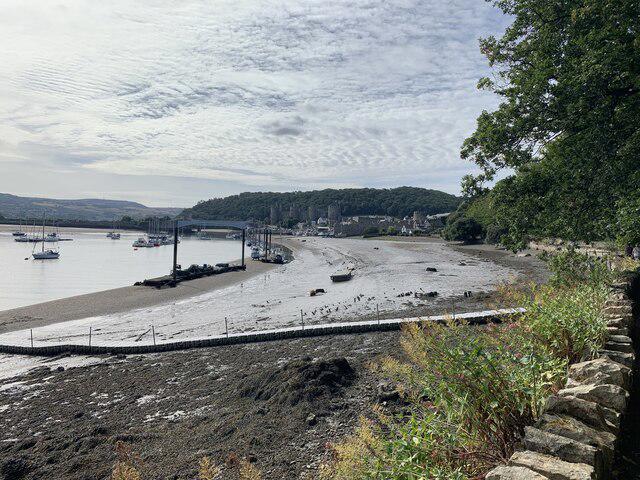
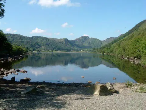
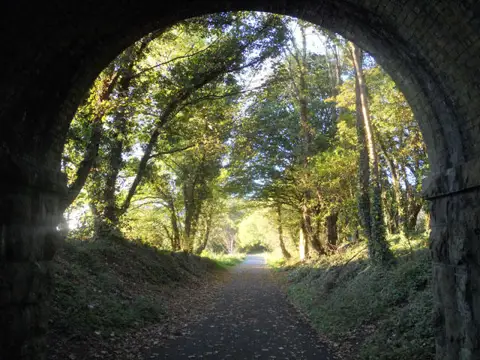
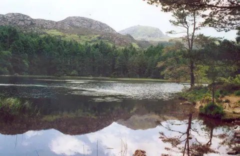
Take the promoted upland alternative of the Wales Coast Path from Conwy Quay to Llanfairfechan. Marine Walk leads around Bodlondeb before the route climbs into the Conwy Mountain countryside, passes Capelulo and follows the Jubilee Path across the hillside above Penmaenmawr. Open moorland gives wide views towards the sea and Anglesey before the descent through Llanfairfechan to its promenade. This is an 18.2 km linear hill walk for fit walkers, with steep climbs, narrow paths above steep slopes, steps, gates, muddy ground and water crossings. Allow 6–7 hours plus breaks. Carry a map, waterproofs, food and water, and avoid poor visibility, strong winds or swollen streams. Arrange a train, bus or lift back before setting off; the railway stations and car-park approaches are outside the plotted route.
Route
Conwy Quay → Lower Gate Street → Marine Walk / Bodlondeb → Morfa Drive → Conwy Mountain inland path → Sychnant / Capelulo → Jubilee Path on Foel Lûs → high moorland above Penmaenmawr → Llanfairfechan village → Station Road → promenade
Published inland alternative with both main-path endpoint connections. This is not the flatter coast-side route and not a circular return. No summit, Druid’s Circle or other archaeology detour added.
Start on the public Conwy Quay footway at OSM node 1376119362, 53.2810571,-3.8262011, near the southern waterfront access. Continue along the quay towards the Smallest House and Lower Gate Street. This is a clear selected point within the official named quay start, not a claimed survey-exact printed-map dot.
Finish on Llanfairfechan promenade at the public footbridge approach by the Afon Llanfairfechan, OSM node 324382628, 53.2593914,-3.9828913, close to the beach car park and boating-lake area shown by the official map. The station access is separate from the exported route. This is an OSM-derived public endpoint consistent with the coarse official map, not an exact coordinate published by WCP.
Distance and effort
The exact OSM source payload between specified quay/promenade points measures 18.179398 km, consistent with the official rounded 18 km. No distance padding. Ascent not verified for this exact line.
Editorial Hard for 18.2 km of exposed upland walking with repeated climbs, a narrow path across steep slopes, navigation and water-crossing demands. No technical climbing or scrambling is described by the primary route provider.
Editorial 6–7 walking hours, 390 minutes planning allowance, before breaks.
Getting there
Morfa Bach public car park is on Llanrwst Road, LL32 8FZ, outside the town walls. Use signed pedestrian access into town and down to the quay; the approach is not part of the exported route.
Council currently lists £8.50 for 24 hours at Morfa Bach. Check the current tariff, payment conditions and local signs before leaving the car.
Opening/barrier hours and event restrictions not independently confirmed; check local signs.
Official walk information lists toilets in Conwy and by the Llanfairfechan beachfront car park; opening hours not verified.
Plan a return by train from Llanfairfechan to Conwy, by the coastal bus service, or with a prearranged lift. Check the actual travel date, stopping pattern, last service and disruption notices. Walk to/from stations separately on public roads and pedestrian routes.
No fixed departures, fare or daily frequency promised. Older trail pages describe request stops; that is not repeated because TfW’s March 2026 announcement confirms both stations are permanent stops.
Railway platforms, car-park approaches and return travel are outside this 18.179 km plotted line.
Access and hazards
This route uses the red-marked upland alternative, with substantial climbing and descending. It is a full hill-walking day rather than a level seaside promenade stroll. Carry a backup map and navigation skills, especially on the faint moorland stretches.
The Jubilee Path across Foel Lûs includes a narrow path on a steep slope of scree and heather. Keep to the signed line; do not cut downhill bends or attempt a summit shortcut. Avoid strong winds, poor visibility, ice or other unsuitable conditions.
There are steps, gates and kissing gates, including a stepped railway footbridge in the Conwy approach. Not a step-free or wheelchair-accessible route.
Three water-crossing locations are mapped: an intermittent ford near 53.2780441,-3.8763464 and two crossings near 53.2547554,-3.9142532 and 53.2547784,-3.9154635. A dated April 2025 OSM note at the latter records water over the path by a blocked culvert; current blockage is unconfirmed. Avoid after heavy rain, never wade a deep or fast crossing, and turn back if unsafe. No invented bypass is supplied.
Town and village sections use roads and pavement corridors, with an A547 crossing/short road connection and narrow sections without pavement. Source road-centreline geometry does not direct walkers into traffic: use available pavements, signed crossings and the mapped footbridge.
Expect shared-use Marine Walk, uneven stone/earth, mud, open moorland and livestock. Keep dogs under close control and on leads around livestock; close gates.
Carry food and water rather than relying on businesses being open along the way. Keep back from unguarded quayside edges; stay off railway infrastructure and do not use beaches or the A55 as a shortcut.
Current official WCP and council textual closure notices checked 23 October 2026 show no listed closure on this corridor. The Deganwy/Conwy FP 73 closure is across the river and does not overlap. Obey fresh signs, local diversions and weather-related restrictions.
Limitations
No field inspection; stream levels, path damage, gates and weather can change access.
Exact ascent, current ford/culvert condition and date-specific public transport unverified.
Printed official map establishes the corridor and named public endpoints, not lane-accurate geometry or a survey-exact endpoint dot.
Council/text diversion checks do not guarantee every temporary obstruction is listed.
No guaranteed car-park space, business opening hours or toilet availability.
Sources and route attribution
Researched 23 October 2026. Original editorial description; desktop research, not a field inspection.
Route geometry: © OpenStreetMap contributors, ODbL 1.0. https://www.openstreetmap.org/copyright — https://opendatacommons.org/licenses/odbl/1-0/ . All 1,085 original source coordinates retained from OSM relations 5480036 and 1850847 and their public endpoint connections. Protected official maps were used for reference only, not traced or reproduced.