

Titlington Pike
Good walks are even better shared.
Overview
Titlington Pike
Introduction
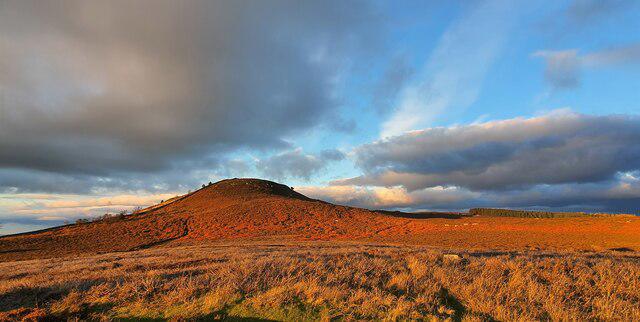
Nestled within the beautiful Northumberland National Park, Titlington Pike stands sentinel over the sweeping landscapes that characterise this part of England. With an elevation of just 299 meters, it may not be the most towering peak, but don't let that fool you—its beauty and charm are worth the effort for any walker looking for a pleasant hike.
Geology
The geology of Titlington Pike reveals a striking mix of sandstone, which tells a story as old as time itself. Formed from ancient sedimentary processes, this rock has seen the rise and fall of ages, making it not just a pleasant hike but also a little geological adventure.
Routes
From the B6344
This route is the bread and butter for those looking to reach the summit without too much fuss. It’s only about 3.5 km long and will take roughly 1.5 hours. Expect mild gradients and plenty of grass underfoot—perfect for those who want a relaxing day out.
Circular Route from Titlington
For those who fancy a little more of a jaunt, the 6 km circular route offers a more substantial trek and will take around 2.5 hours. This path allows walkers to enjoy the varied terrain and possibly spot some local wildlife along the way.
Summit Features
At the top, you’ll be greeted by a humble stone cairn. This provides not just a photographic opportunity, but also a perfect spot to catch your breath while enjoying the spectacular views.
Terrain Type
Expect a delightful mixture of grassy paths and rocky outcrops that add a touch of adventure. Most hikers find it a comfortable terrain, but those keen on extra excitement will find some rocky sections near the summit to navigate.
Views
From the peak, the views are genuinely rewarding—on clear days, you’ll spot the majestic Cheviot Hills in the distance, along with the rolling Northumbrian fields. Spring and summer are particularly picturesque, so plan your visit accordingly!
Hazards
While this is generally a safe route, be cautious of slippery slopes during wet weather and keep an eye on the fog that occasionally descends in the early mornings.
Nearby Summits
- Ruthwaite Crags (383 meters)
- Wooler Common (335 meters)
These nearby peaks make for excellent additional pursuits or simply provide a backdrop to your hike.
Access
Parking is a bit limited along the B6344, so if you're planning a weekend jaunt, consider arriving early. Public transport options are sparse but you can find a bus to Powburn from Alnwick. The nearest significant town is Alnwick—home to various facilities including cafes and public toilets.
Conclusion
Whether you're a seasoned hiker or just looking for a pleasant stroll, Titlington Pike offers a rewarding experience. So lace up those boots, grab your walking stick, and head towards this charming peak for a little slice of Northumberland’s natural beauty.
Happy hiking!
Explore routes near Titlington Pike
Public walks starting within 80 km of this hill. Nearby does not mean a route reaches the summit; check its map and access before setting out.
Ingram and Ewe Hill and Wether Hill Circular
View route
Ingram to Hartside: Breamish valley road return
View route
Edlingham Castle, Church and Birsley Wood
View route
Breamish Valley Five Hillfort Circuit
View route
Route planning notes
These notes describe possible approaches, not verified navigable routes or permission to cross land. Check current paths, local access rules and conditions before setting out.
From the B6344
A well-trodden path starting from the B6344 road, leading up the gentle slopes to the summit.
Circular route from Titlington
A scenic circular walk that takes you around the area, offering varied terrain and wildlife opportunities.
Make a day of it, together
Find someone to share the walk with, or organise a day out along a route you like.
Photo Gallery
View all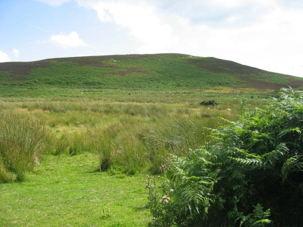 Photo could not load
NU0816 : Titlington Pike
Les Hull
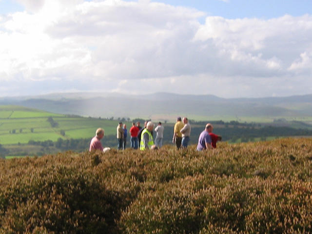 Photo could not load
NU0815 : PSS Event
micgent
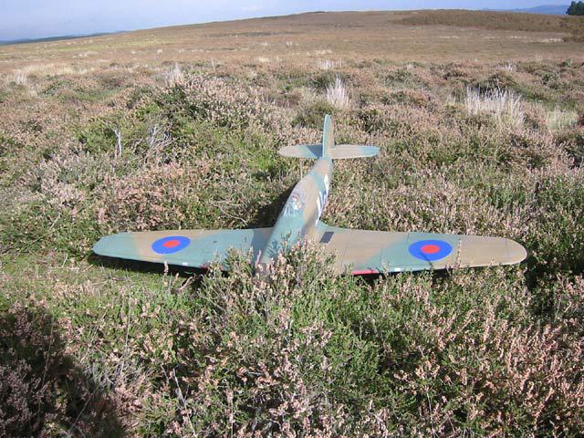 Photo could not load
NU0815 : Hawker Hurricane PSS Event
micgent
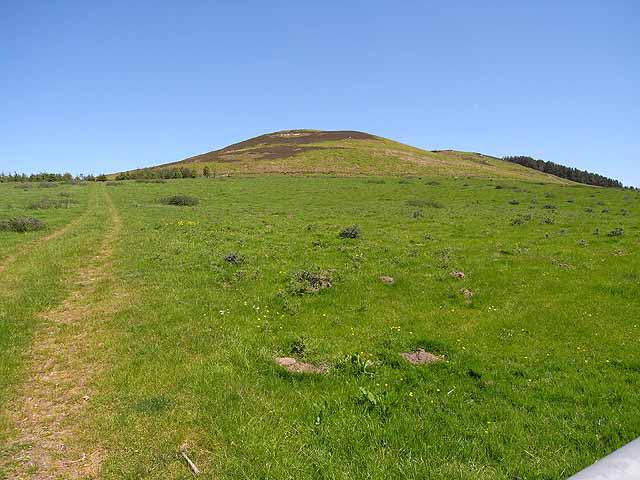 Photo could not load
NU0815 : Titlington Pike
Oliver Dixon
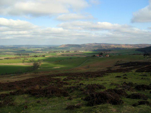 Photo could not load
NU0816 : View north from Titlington Pike
Andrew Curtis
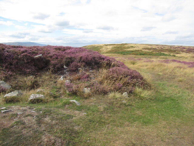 Photo could not load
NU0815 : Cairn, Titlington Pike
Richard Webb
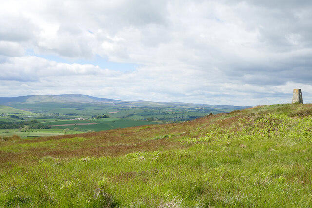 Photo could not load
NU0815 : Lush vegetation near the summit of Titlington Pike
James T M Towill
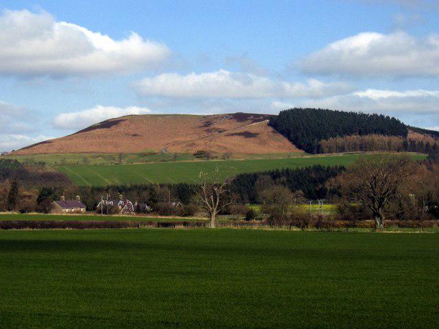 Photo could not load
NU0815 : Titlington Pike
Andrew Curtis
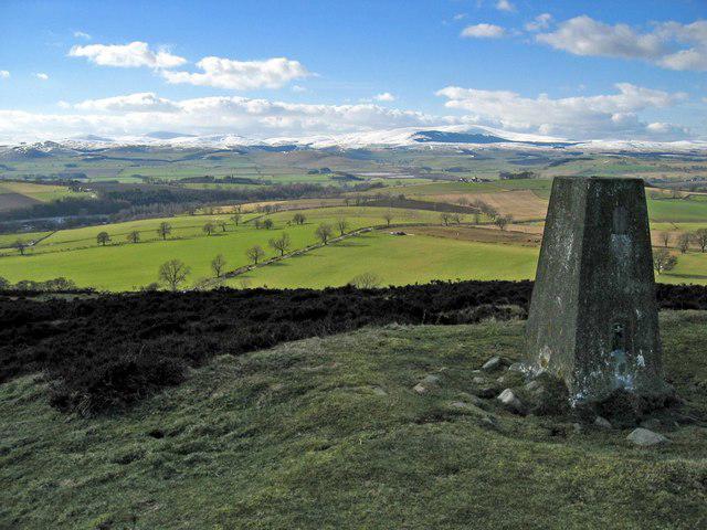 Photo could not load
NU0815 : Titlington Pike summit
Andrew Curtis
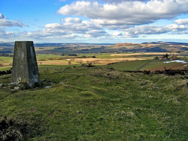
NU0815 : North from Titlington Pike
Andrew Curtis
Hill facts and local notes
Classifications
Elevation
233m
764 ft
Prominence
112m
Coordinates
55.4378, -1.8632
NU087160
OS Map
81
Explorer: 332
At the Summit
The summit is marked by a stone cairn and a small rocky outcrop providing a commanding view of the surrounding countryside.
Terrain & Geology
Titlington Pike is primarily composed of sandstone, indicative of the sedimentary processes that shaped the Northumberland landscape millions of years ago. The surrounding area showcases typical Northumbrian geology featuring crags and with rolling hills.
Views & Scenery
You can see the Cheviot Hills and the rolling landscapes of Northumberland stretching out to the horizon.
History & Heritage
Name Origin
The name 'Titlington' possibly derives from the Old English for 'Titta's hill', suggesting a historical connection to early settlements.
Historical Significance
This area has been historically significant for its rich wildlife and as a landscape shaped by agriculture over centuries.
Getting There & Facilities
Check current local access restrictions, parking rules and transport timetables before travelling. These notes do not confirm public access to the summit.
Parking
There is a small layby along the B6344 where hikers can park, but it gets busy on weekends.
Public Transport
There are limited bus services to the nearby village of Powburn from Alnwick.
Nearby Facilities
The nearest facilities are in Alnwick, including cafes, pub, and public toilets.
Safety Information
Known Hazards
- Beware of slippery slopes in wet weather and potential low visibility in fog.
General Safety Tips
- Check weather conditions before setting out
- Carry appropriate clothing and equipment
- Let someone know your planned route
- Take a map, compass, and GPS device
- Carry emergency supplies: food, water, first aid kit, torch
Hills
Some common questions about the hills answered
Are there group walks up Titlington Pike?
Many walkers use Walkmates to join or organise walks with others. You can check for group walks around Titlington Pike through the maps
Are there other walkers around Titlington Pike?
Activity varies by location and time, but Walkmates lets you see whether others have shared walks or shown interest in this area. Find other people through the walking friends search walking friends for Titlington Pike search or of course create your own walk for Titlington Pike
Can I organise a walk to Titlington Pike?
Yes. If there aren’t any walks listed already, you can create a walk and make it available for others to join.
If you're signed up to Walkmates, you can create a walk to Titlington Pike.
How do I find a walk up this hill?
There are often multiple ways to walk this hill, depending on experience and route preference. Walkmates helps you explore walks and routes that others have shared.
Can I suggest a new route up Titlington Pike?
Yes. You can suggest or create routes to share with others. Walkmates focuses on the social side of walking, so routes are used to help people organise walks and explore areas together, rather than as detailed navigation tools or route libraries.
Other uses really appreciate knowledgeable walkers sharing their routes. Share your favourite route to Titlington Pike here
The is an error or something incorrect about this hill. How do I let you know?
We always strive to keep the information on Walkmates as accurate as possible. If you find an error, please let us know through the contact form and we'll aim to correct it as quickly as possible
Community Discussion
Comments
Location
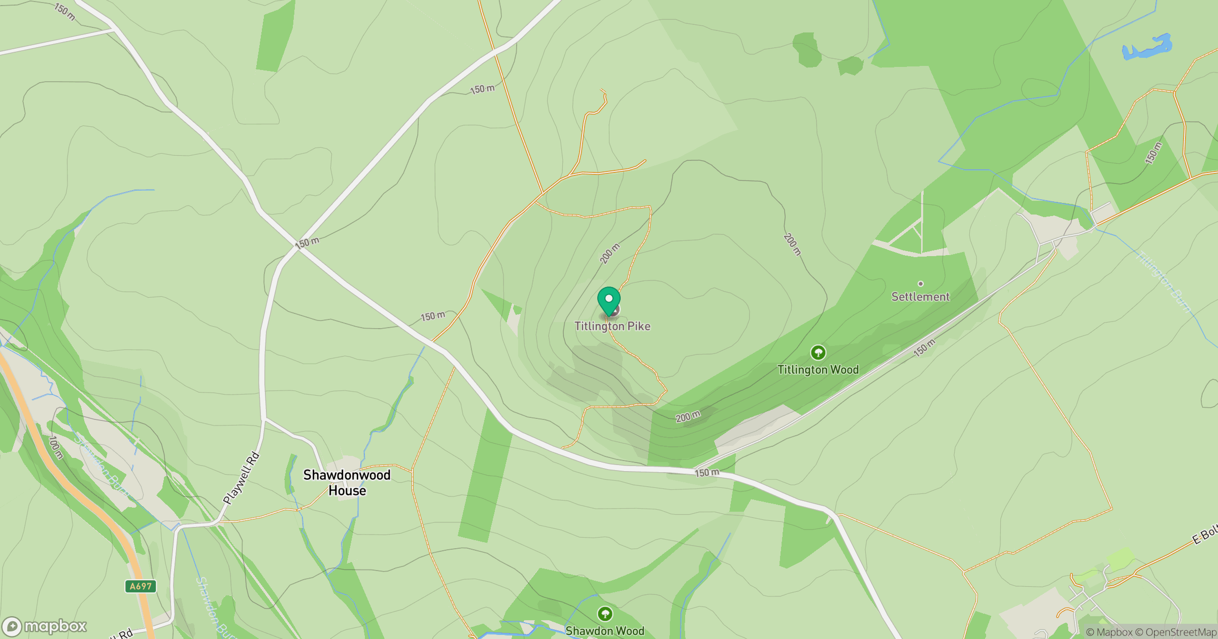
Grid reference: NU087160
View on OpenStreetMapOpens a map in a new tab, centred on the hill.
Hills within 30 km
Straight-line distance, not a walking route or confirmation of access.
No comments yet. Be the first.