

Tosson Hill
Good walks are even better shared.
NZ0098 : Looking across the heather
Russel Wills Photo source
Overview
Tosson Hill
Tosson Hill, standing at 260 meters, is a delightful Marilyn nestled in the heart of Northumberland National Park. With its prominent trig point and picturesque views, it has become a favourite among locals and visitors alike.
Geology
The hill features intriguing Carboniferous sedimentary rocks, primarily limestone and mudstone. Hiking here gives you the chance to explore these geological wonders while soaking in beautiful natural surroundings.
Access and Parking
Accessing Tosson Hill is a breeze. Park your car in Rothbury, a charming village approximately 2.5 km from the hill’s base. Rothbury is your gateway to this walk, so make sure to pop into one of the local cafes for a bacon sandwich before hitting the trails!
Routes
The most popular route is the Tosson Hill Circular Walk, an engaging hike of about 5.5 km that typically takes around 2.5 hours. The path offers a delightful mix of grassy fields, rocky terrain, and boggy spots to enhance your adventure. It’s a moderate walk but well worth the effort for the views from the top.
Summit Features
Reaching the summit, one is greeted by a sturdy trig point that invites selfies and summit celebrations. This small yet mighty feature signifies your dedication to conquer the hill and is a testament to countless other adventurers who have come before.
Terrain and Hazards
Expect a blend of grassy and rocky terrain, with some lovely, squishy boggy patches. Tip: Watch your step, especially when the rain comes to play as the paths can become a tad slippery. And if you happen to lose your way in the fog, don’t panic! Just remember, even the best sailors lose sight of their lighthouse now and then.
Views
Once you reach the top, you’ll be rewarded with breathtaking views. The mighty Cheviot hills stand proudly to the south, while the farmland sprawls luxuriously to the north. The best seasons to enjoy these vistas are during spring and early autumn when visibility is at its best.
Nearby Summits
After conquering Tosson Hill, why not consider a visit to nearby heights such as Hunting Hill or Simonside? Both offer their own unique charm and excellent hiking opportunities.
Facilities
Remember, Rothbury is not just a parking lot! The village is equipped with cafes, shops, and toilets, ensuring you’re never left high and dry before or after your hike.
Conclusion
Tosson Hill is perfect for a half-day hike, offering an enjoyable experience for all skill levels. So lace up your boots, grab your walking poles, and get ready to revel in the beauty of Northumberland.
Happy Hiking! 🌄
Explore routes near Tosson Hill
Walks starting near this hill. Open a route to check its map, distance and full itinerary.
Simonside Ridge and Dove Crag
View route
Simonside hills - 50 Rocks of Northumberland inspired
View route
Rothbury Riverside and Town Walk
View route
Rothbury Terraces
View route
Route planning notes
These notes describe possible approaches. Check a route's map and access information when planning your walk.
Tosson Hill Circular Walk
A popular circular route starting from the nearby village of Rothbury, offering scenic views and gentle gradients.
Make a day of it, together
Find someone to share the walk with, or organise a day out along a route you like.
Photo Gallery
View all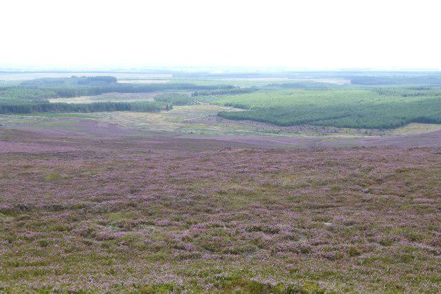 Photo could not load
NZ0098 : Looking across the heather
Russel Wills
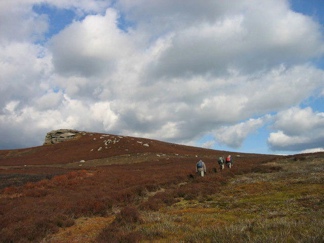 Photo could not load
NZ0098 : Tosson Hill
Les Hull
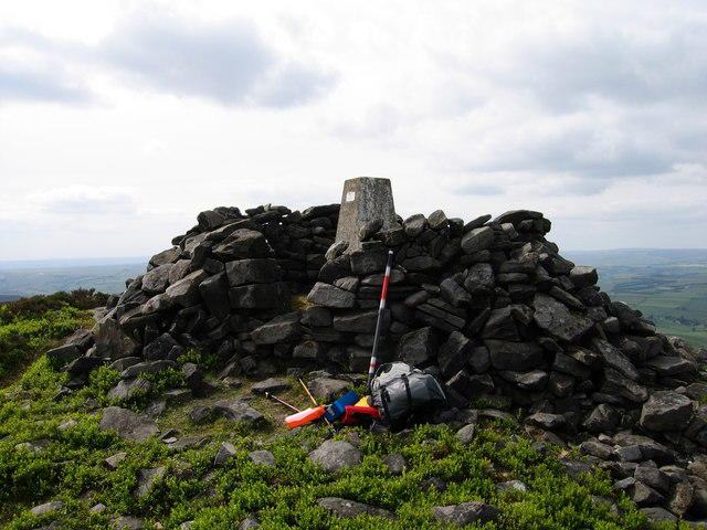 Photo could not load
NZ0098 : Trig Point and Summit Cairn
Steve Jones
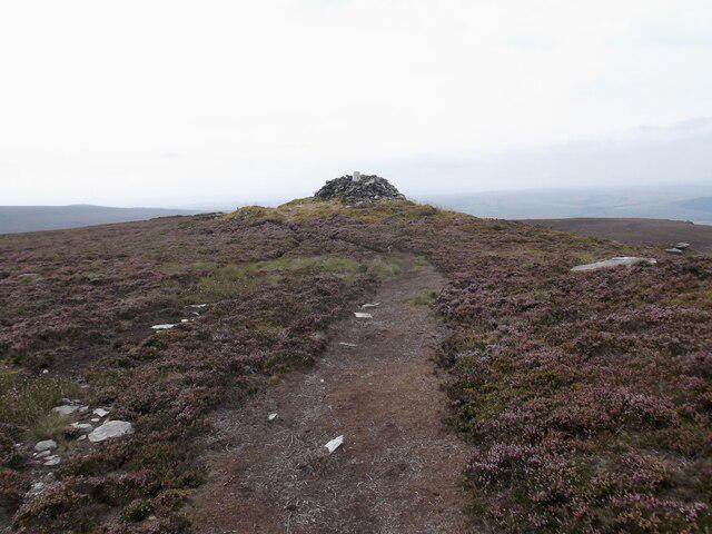 Photo could not load
NZ0098 : Tosson Hill
David Brown
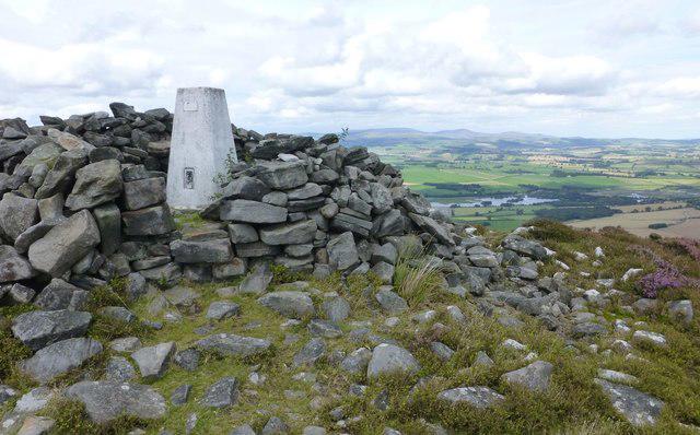 Photo could not load
NZ0098 : Trig point on Tosson Hill
Russel Wills
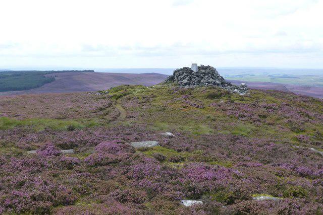 Photo could not load
NZ0098 : Approaching Tosson Hill trig point
Russel Wills
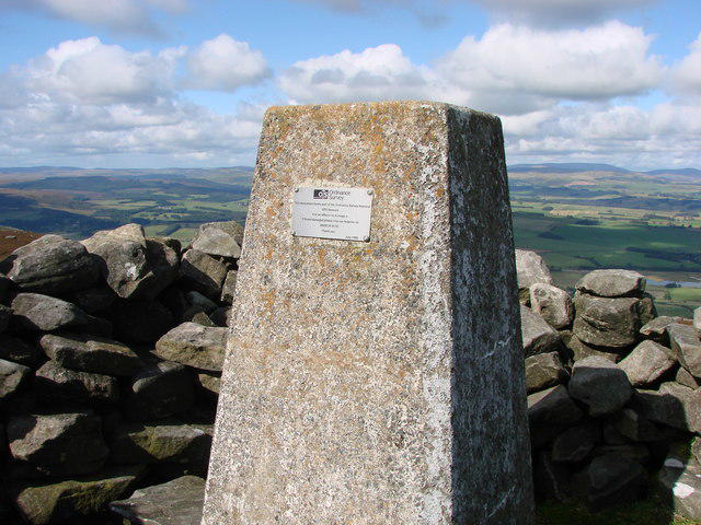 Photo could not load
NZ0098 : Trig pillar on Tosson Hill
Ed Jennings
Hill facts and local notes
Classifications
Elevation
442m
1,449 ft
Prominence
249m
Coordinates
55.2784, -1.9940
NZ004982
OS Map
81
Explorer: OL42E
At the Summit
The summit boasts a prominent trig point, which like a lighthouse for hikers, provides a clear reference point and great photo opportunities.
Terrain & Geology
Predominantly Carboniferous sedimentary rocks, with limestone and mudstone layers creating a varied landscape. Notably, the rocky outcrops at the summit add character and a sense of adventure.
Views & Scenery
The Cheviot hills loom majestically to the south, while the wide farmland stretches north into the stunning Northumberland landscape.
History & Heritage
Name Origin
The name 'Tosson' is believed to derive from Old English, potentially meaning ‘hill pasture’ or ‘enclosure’.
Historical Significance
Tosson Hill has been a local landmark for centuries, often referenced in regional lore and cherished by hikers for its accessible peaks.
Getting There & Facilities
Parking
Parking is available in Rothbury, with space for several cars. It's recommended to arrive early in the morning during peak season.
Public Transport
Buses operate from Newcastle to Rothbury, providing good access for those relying on public transport.
Nearby Facilities
Rothbury offers various facilities including quaint cafes, pubs, and toilet facilities at the village hall.
Safety Information
Known Hazards
- Care should be taken during wet conditions as the terrain can become slippery. In foggy weather, navigation may be challenging, especially across the rocky parts.
General Safety Tips
- Check weather conditions before setting out
- Carry appropriate clothing and equipment
- Let someone know your planned route
- Take a map, compass, and GPS device
- Carry emergency supplies: food, water, first aid kit, torch
Hills
Some common questions about the hills answered
Are there group walks up Tosson Hill?
Many walkers use Walkmates to join or organise walks with others. You can check for group walks around Tosson Hill through the maps
Are there other walkers around Tosson Hill?
Activity varies by location and time, but Walkmates lets you see whether others have shared walks or shown interest in this area. Find other people through the walking friends search walking friends for Tosson Hill search or of course create your own walk for Tosson Hill
Can I organise a walk to Tosson Hill?
Yes. If there aren’t any walks listed already, you can create a walk and make it available for others to join.
If you're signed up to Walkmates, you can create a walk to Tosson Hill.
How do I find a walk up this hill?
There are often multiple ways to walk this hill, depending on experience and route preference. Walkmates helps you explore walks and routes that others have shared.
Can I suggest a new route up Tosson Hill?
Yes. You can suggest or create routes to share with others. Walkmates focuses on the social side of walking, so routes are used to help people organise walks and explore areas together, rather than as detailed navigation tools or route libraries.
Other uses really appreciate knowledgeable walkers sharing their routes. Share your favourite route to Tosson Hill here
The is an error or something incorrect about this hill. How do I let you know?
We always strive to keep the information on Walkmates as accurate as possible. If you find an error, please let us know through the contact form and we'll aim to correct it as quickly as possible
Community Discussion
Comments
Location
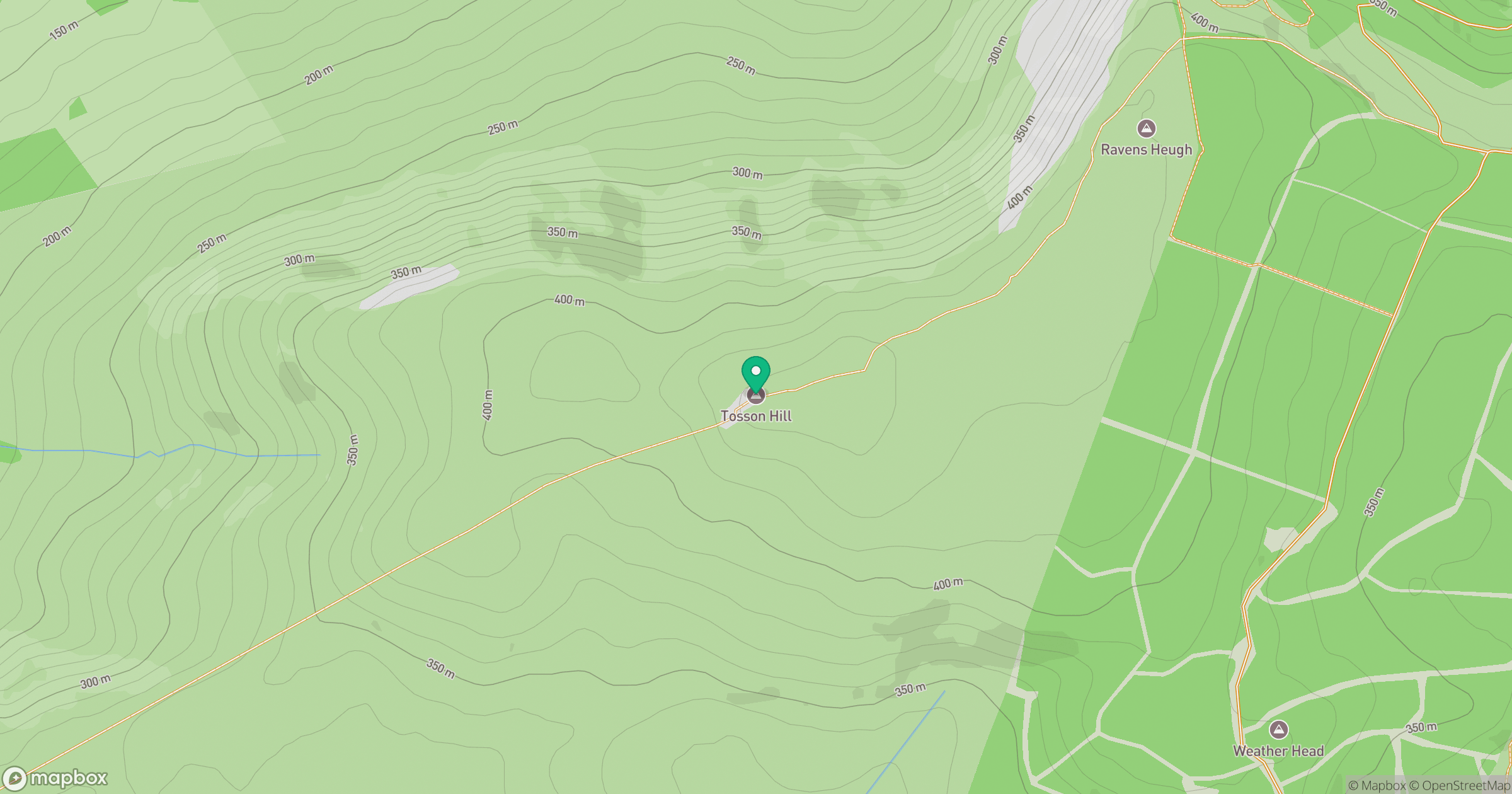
Grid reference: NZ004982
View on OpenStreetMapOpens a map in a new tab, centred on the hill.




No comments yet. Be the first.