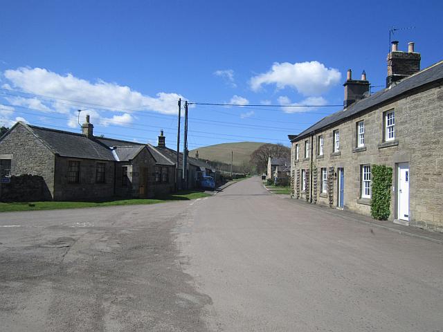
Ingram and Ewe Hill and Wether Hill Circluar
- Distance
- 8.9 mi
- Est. time
- 5h
- Difficulty
- Medium
About this walk
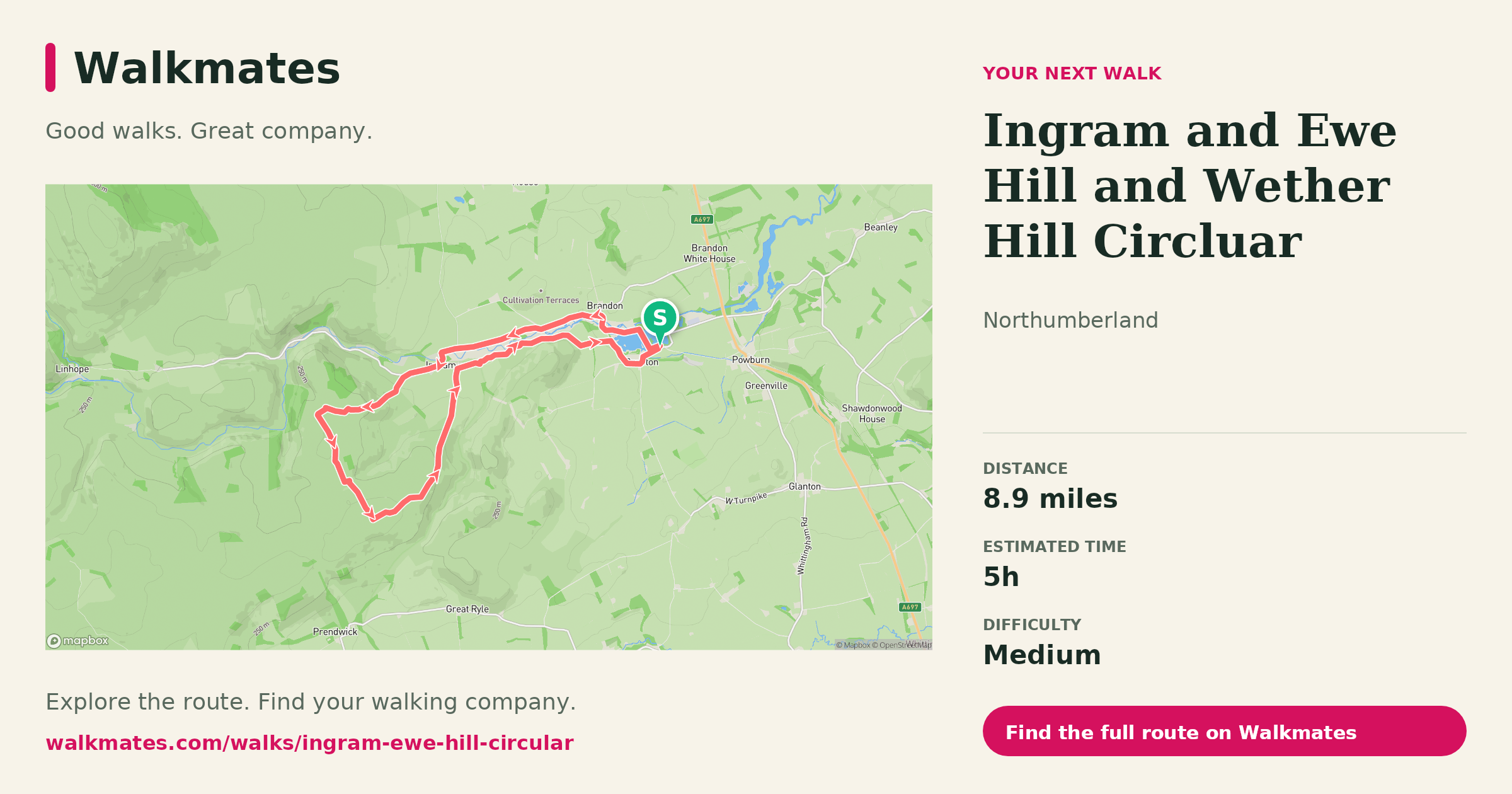
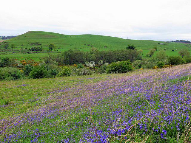
This is a classic upland circuit from Ingram that gives you a proper feel for the wide, open character of the Cheviots without committing to anything extreme. Starting in the valley, the route follows the River Breamish upstream before climbing steadily onto the high ground around Ewe Hill and Wether Hill, where the landscape opens out into rolling moorland with long views in every direction.
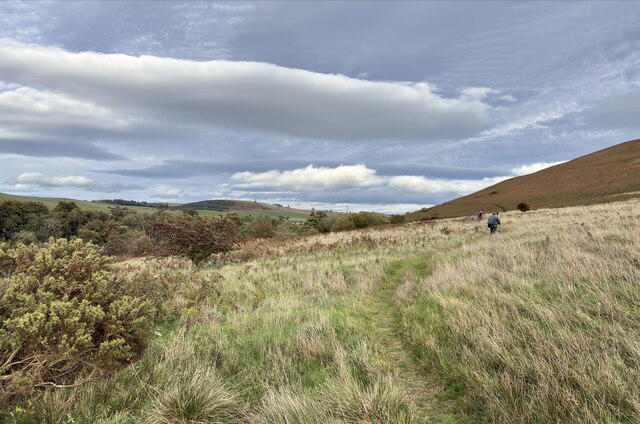
The ascent is gradual rather than punishing, but once you’re up on the tops the walk feels remote and exposed, especially in poor weather. Navigation is generally straightforward in clear conditions, though mist can make the broad ridges feel featureless, so a map and compass are sensible. Underfoot, expect a mix of grassy tracks, peat and occasionally boggy sections after wet weather.
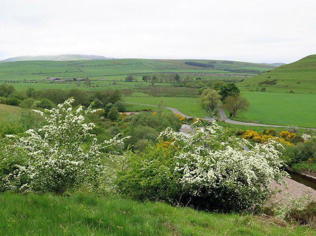
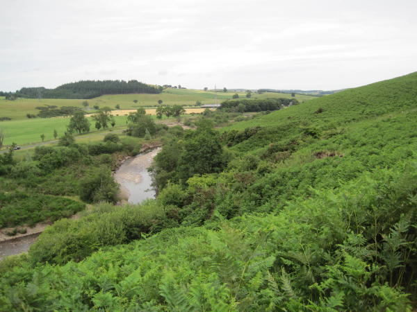
Wether Hill and the surrounding ground are typical Cheviot terrain: rounded hills, big skies, and a sense of space rather than dramatic crags. The reward is the quiet. You’re unlikely to see many people once you leave the valley, and the return leg drops back down towards Ingram with fine views over the Breamish valley below.
This route suits confident walkers who are happy with distance and steady climbing rather than technical terrain. It’s best tackled in settled conditions, and waterproof footwear is recommended year-round due to soft ground on the higher sections. Dogs are welcome but should be kept under close control, particularly around livestock.
A solid, satisfying circuit that shows off the quieter side of Northumberland’s hills.

Walk details
- County
- Northumberland
- Main location
- Branton
- Hill
- Cochrane Pike
- Walk type
- Circular
- Category
- Upland / Hill
- Distance
- 8.9 mi (14.3 km)
- Est. time
- 5h
- Explorer
- Yes, off the beaten track
Route map
Use the route details to plan your walk
If the map image does not load, the route description and starting-point details are still on this page.
The interactive map will load when you reach this section.
Where to start
Directions to startWalking on your own?
Start when you're ready and add the walk to your history. No group date needed.
Photos
View all 102 →This walk is waiting for a date
Not ready to pick a date? Follow it and you'll hear when somebody else does.
No commitment. You can follow it now and pick a date later.
Along the route
6 placesMore walks nearby
Other routes starting close to this one
Linhope Spout waterfall
Hedgehope Hill from Linhope
Great Stantrop and Little Stanstrop from Linhope (Ingram)
Explore more: More walks in Branton Walks in Northumberland
Joining a walk
A few things to know before you make plans.
Can I join if no one else is going?
You can be the first to join a scheduled walk. A suggested date is an idea for a group walk; choose Set this date up to organise it. Check the participant list and meeting details before setting off.
What if there is no date yet?
Choose Put a date on this walk to organise a group walk. Not ready to choose a day? Follow the route for scheduling updates, or save it for later.
What does the organiser do?
The organiser sets the date and meeting details and helps the group get started. They are a fellow walker and may be new to the route too.
Each walker is responsible for their own safety and navigation. Check the route, weather, equipment and whether the walk suits your experience and fitness.
Can I walk this route on my own?
Yes. Choose Walk this route on your own to open the start screen, then start when you are ready. Finish the walk to add it to your walking history. You do not need a group date.
What happens after I join?
Use the walk page to check meeting details, updates and who is going. Check in from 24 hours before the start to let the group know you still plan to come.
How do I confirm plans with the group?
Check the participant list and check-ins, and message the organiser or other walkers to confirm where to meet and who is coming. This is especially useful when the group is small.