Circular
Westhay–Mearse–Shapwick
PaulWalkmates
Walk organiser

Wills Neck Group Walks | Join a Walk
Join group walks, find walking companions and friends, or organise your own!
Don't walk alone! Find friendly walkers to explore Wills Neck together. Join scheduled group walks or start your own.
Elevation
385m
1,262 ft
Prominence
268m
Coordinates
51.1099, -3.1945
ST164351
OS Map
181
Explorer: 140
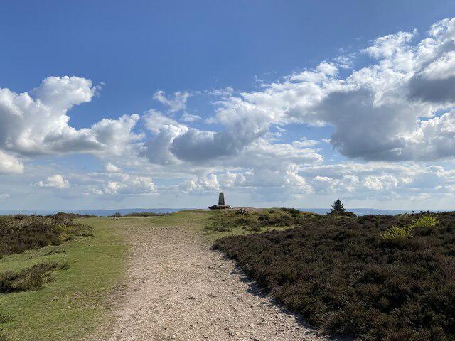
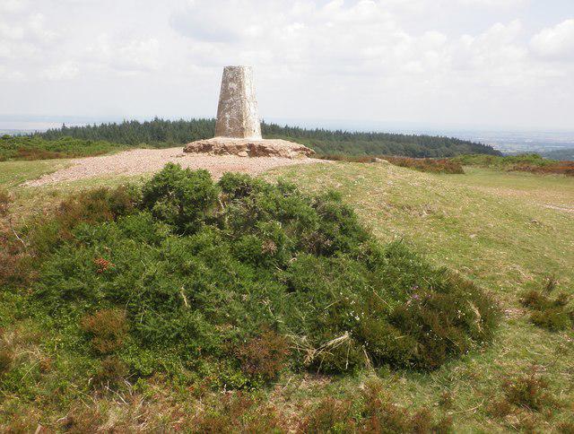
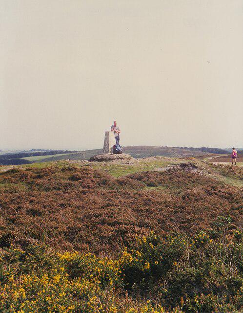
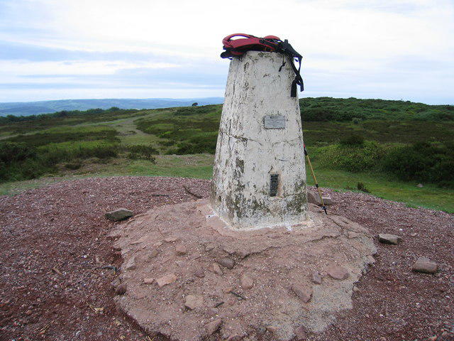
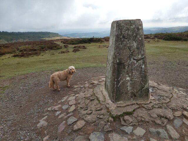
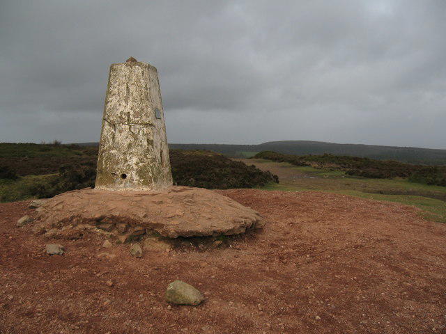
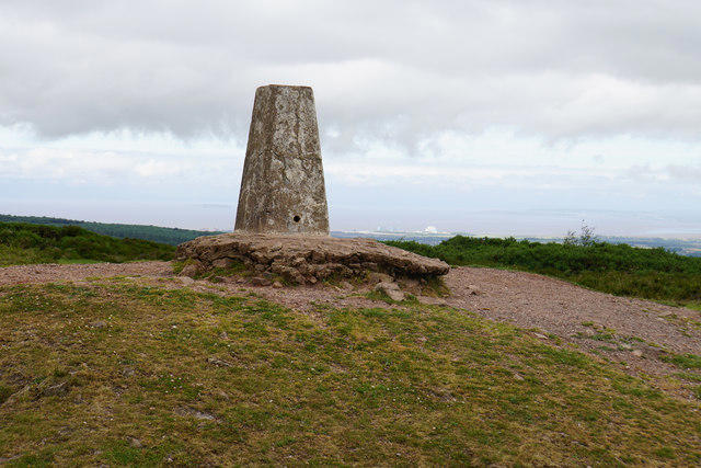
The summit is marked by a prominent trig point, providing a perfect photo opportunity for the snap-happy hiker. There’s also a small stone cairn for those who like to add a personal touch.
The area is largely composed of sedimentary rocks from the Mesozoic era, featuring notable sandstone and limestone formations. The rock strata create interesting geological outcrops and provide a rich habitat for wildlife.
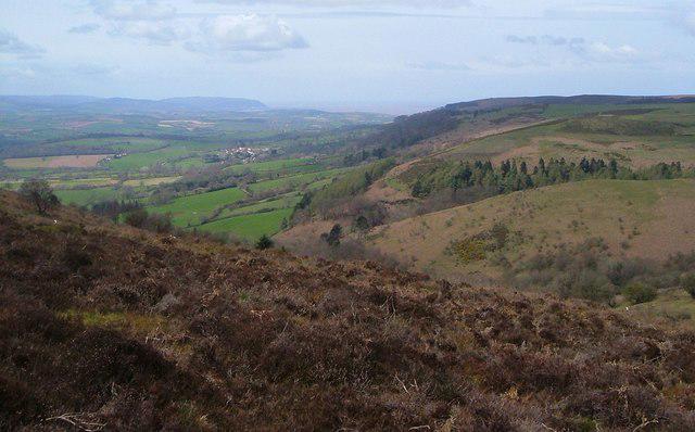
From the summit, one can see the Bristol Channel, the Exmoor National Park, and on a clear day, even the distant peaks of South Wales.
The name 'Wills' is believed to derive from the Old English personal name 'Wilhelmus', while 'Neck' refers to a narrow area or hill. So, in essence, it could be interpreted as 'Wilhelm's Hill'. Quite regal, don't you think?
Historically, the Quantock Hills were used as hunting grounds in the past. They are also associated with the poet Samuel Taylor Coleridge, who found inspiration in this natural beauty.
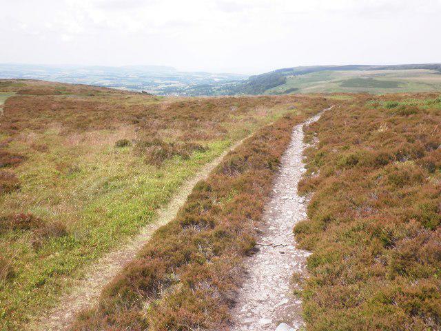
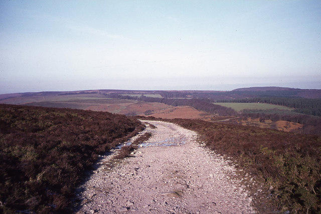
A picturesque route starting from the village of Crowcombe, featuring varied terrain through forests and across open fields, leading to the summit of Wills Neck.
A steeper ascent from the north, this route offers breathtaking views right from the start, making the effort worthwhile.
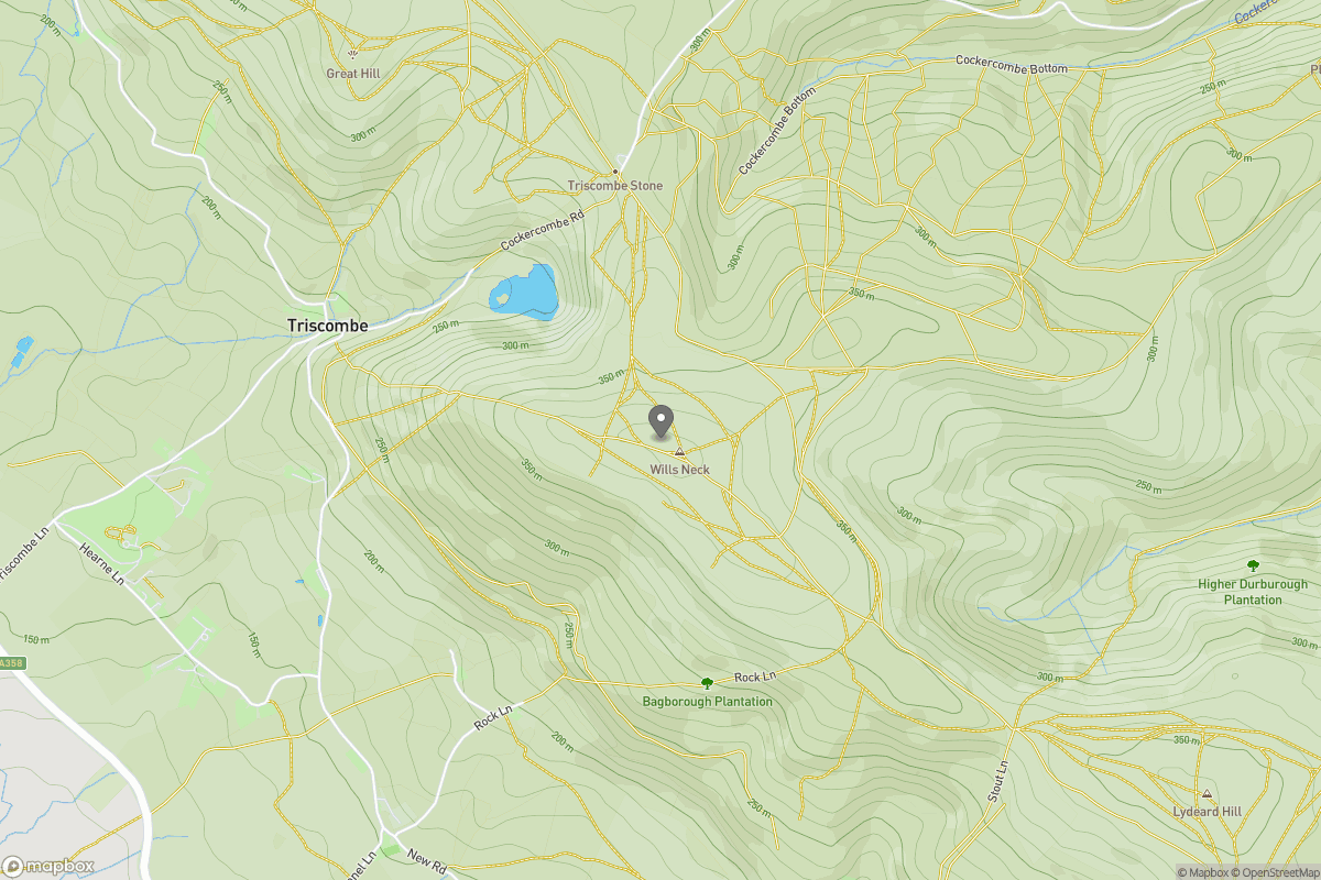
The nearest parking area is at Crowcombe, with a small car park near the village hall. There's enough space for a handful of cars.
Regular bus services run to Crowcombe from Taunton, though checking the current schedule is a good idea as availability may vary.
There are no public toilets at the summit, but facilities can be found in Crowcombe. The Crown Inn offers food and drink to weary walkers!
Join friendly walkers exploring Wills Neck and surrounding area
More walks starting close to this area
Create a walk and let others join you. It's free and easy!
Some common questions about the hills answered
Many walkers use Walkmates to join or organise walks with others. You can check for group walks around Wills Neck through the maps
Activity varies by location and time, but Walkmates lets you see whether others have shared walks or shown interest in this area. Find other people through the walking friends search walking friends for Wills Neck search or of course create your own walk for Wills Neck
Yes. If there aren’t any walks listed already, you can create a walk and make it available for others to join.
If you're signed up to Walkmates, you can create a walk to Wills Neck.
There are often multiple ways to walk this hill, depending on experience and route preference. Walkmates helps you explore walks and routes that others have shared.
Yes. You can suggest or create routes to share with others. Walkmates focuses on the social side of walking, so routes are used to help people organise walks and explore areas together, rather than as detailed navigation tools or route libraries.
Other uses really appreciate knowledgeable walkers sharing their routes. Share your favourite route to Wills Neck here
We always strive to keep the information on Walkmates as accurate as possible. If you find an error, please let us know through the contact form and we'll aim to correct it as quickly as possible
Grid Ref: ST164351
+ 5 more nearby hills
Find more walking companions in the area

No comments yet. Be the first.