

Lype Hill
Good walks are even better shared.
SS9437 : West Somerset : Grassy Field
Lewis Clarke Photo source
Overview
Lype Hill: A Crown Jewel of the Quantock Hills
Nestled in the picturesque Quantock Hills, Lype Hill stands at a modest height of 193 meters, yet it offers astonishing views and a wonderful hiking experience.
Geology
The hill is composed mainly of sandstone and mudstone, remnants of the ancient Carboniferous period. This geological composition has shaped the beautifully undulating landscape, making it a delight for both experienced and novice hikers alike.
Routes
One popular route is the Lype Hill Circular Route, which spans about 5 km (roughly 2.5 hours of walking). It’s a delightful jaunt and navigates through wooded areas, open fields, and offers several viewpoints that will stop you in your tracks for that perfect photo.
Summit Features
At the summit, you’ll find a robust trig point and a few stone cairns to mark your glorious achievement of reaching the top. It's an ideal spot to rest up, munch on your sandwiches, and revel in the view.
Terrain Type
Lype Hill features a grassy terrain interspersed with rocky outcrops and pockets of woodland. No need to strap on your climbing gear, but sturdy boots are a must to tackle those charming rugged areas.
Views
You'll be treated to a breathtaking panorama of the Bristol Channel and the far-off Mendip Hills. The best time for these vistas is during spring or early autumn, when the weather is just right and the colours are vivid.
Hazards
Keep an eye out for roaming livestock! These adorable but stand-offish creatures can sometimes play a game of chicken with hikers, testing your patience.
Nearby Summits
If you’re feeling particularly adventurous, consider tackling nearby summits such as Wills Neck (398 meters) and Black Hill (393 meters), both of which are great companions to Lype Hill.
Access
Accessing Lype Hill couldn't be easier! The nearest car park is in Holford. Opt for public transport? No worries. Stagecoach buses link Bridgwater to Holford regularly, though you might want to keep an eye on the timings. After a bit of groundwork, you will unearth the quaint charms of Holford with its friendly café serving excellent tea and scones!
History
The name 'Lype' is thought to originate from Old English, meaning 'a bank or edge', reflecting its elevated position. Plus, it’s steeped in cultural significance, lying within an Area of Outstanding Natural Beauty that inspired the famed poet Samuel Taylor Coleridge.
In conclusion, while Lype Hill may not be the highest mountain in the UK, it’s undoubtedly worth a visit. Whether you’re a casual walker or a fervent explorer, this hill offers a gentle reminder of nature's beauty that can lift the spirits and bring a smile. Enjoy your adventure!
Explore routes near Lype Hill
Walks starting near this hill. Open a route to check its map, distance and full itinerary.
Dunster, Gallox Bridge and Bats Castle: deer park hillfort circuit
View route
Dunkery Beacon sunset ranger walk
View route
Bossington Hill dusk and dark-sky walk
View route
Ramscombe, Dead Woman’s Ditch and Adscombe woodland circuit, Quantock Hills
View route
Route planning notes
These notes describe possible approaches. Check a route's map and access information when planning your walk.
Lype Hill Circular Route
A scenic circuit starting from the village of Holford that features gentle inclines and panoramic views.
Make a day of it, together
Find someone to share the walk with, or organise a day out along a route you like.
Photo Gallery
View all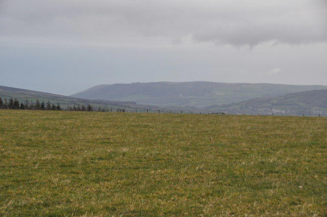 Photo could not load
SS9437 : West Somerset : Grassy Field
Lewis Clarke
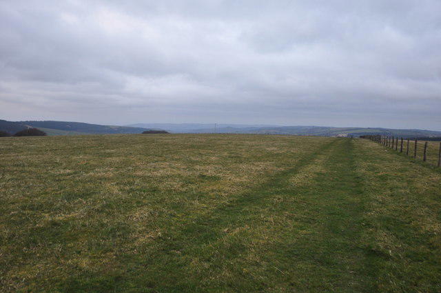 Photo could not load
SS9537 : West Somerset : Grassy Field
Lewis Clarke
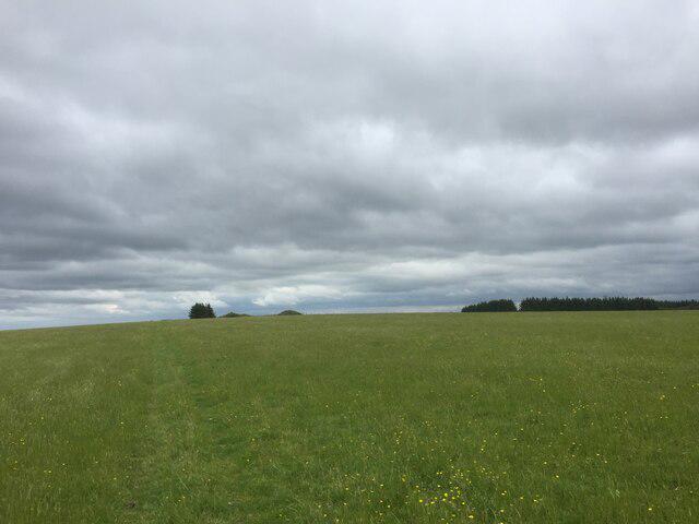 Photo could not load
SS9437 : View towards Lype Hill Trig Point
thejackrustles
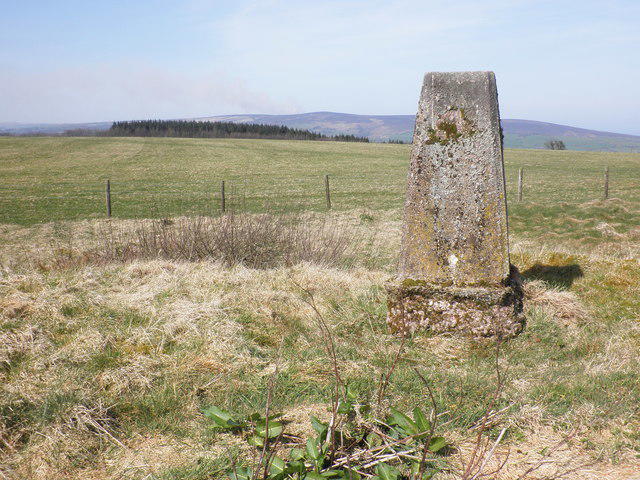 Photo could not load
SS9537 : Trig point on Lype Hill
Roger Cornfoot
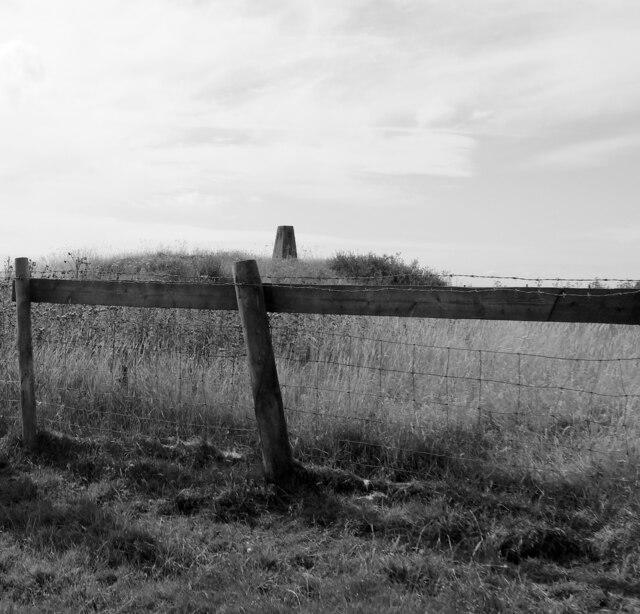 Photo could not load
SS9537 : Triangulation pillar on the top of Lype Hill
habiloid
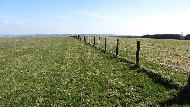 Photo could not load
SS9537 : Lype Hill
Richard Webb
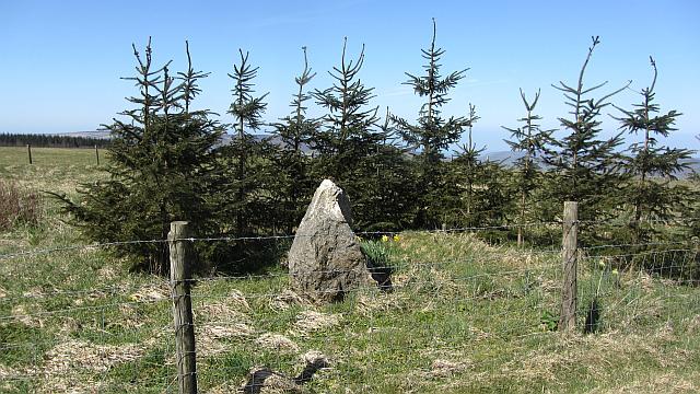 Photo could not load
SS9537 : Rock by the summit of Lype Hill
Richard Webb
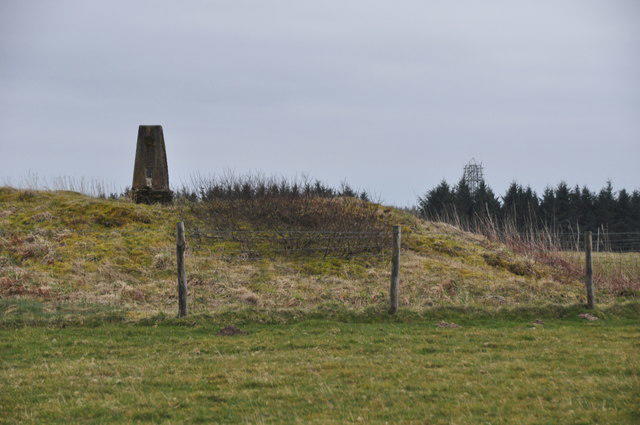 Photo could not load
SS9537 : West Somerset : Lype Hill Trig Point
Lewis Clarke
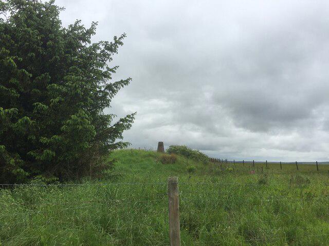 Photo could not load
SS9537 : Lype Hill Trig Point Flush Bracket S3930
thejackrustles
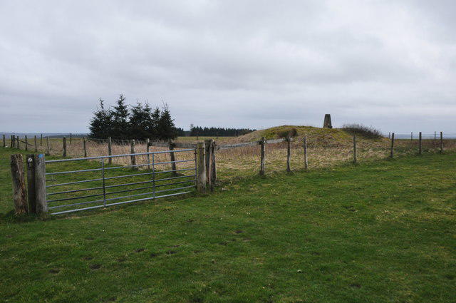
SS9537 : West Somerset : Lype Hill
Lewis Clarke
Hill facts and local notes
Classifications
Elevation
424m
1,390 ft
Prominence
140m
Coordinates
51.1236, -3.5013
SS950371
OS Map
181
Explorer: OL9E
At the Summit
The summit boasts a trig point and a series of stone cairns that serve as perfect spots for taking selfies and contemplating life’s big questions.
Terrain & Geology
Lype Hill is primarily composed of sandstone and mudstone, characteristic of the Carboniferous period. The erosion of these softer rocks has created the distinctive rolling hills and valleys of the Quantocks, with their green pastures peppered with occasional rock outcrops.
Views & Scenery
From the summit, hikers can glimpse the Bristol Channel and the distant Mendip Hills, making it a feast for the eyes as well as the soul.
History & Heritage
Name Origin
The name 'Lype' derives from Old English, possibly meaning 'a bank or edge', which fits perfectly with its location atop the hills.
Historical Significance
Lype Hill holds cultural significance as a part of the Quantock Hills Area of Outstanding Natural Beauty, which was also the inspiration for many works by poet Samuel Taylor Coleridge.
Getting There & Facilities
Parking
There is a car park at Holford, where you can leave your vehicle before embarking on your adventure. It's usually free, but do check for any signage.
Public Transport
Stagecoach buses run from Bridgwater to Holford, making it accessible by public transport. Always check the latest schedules.
Nearby Facilities
In Holford, you’ll find a quaint little café ideal for a pre-adventure tea or post-hike scone. Public toilets are also conveniently located nearby.
Safety Information
Known Hazards
- Watch out for livestock, especially during the spring; they tend to have a habit of blocking paths, making you feel as though you are in a game of 'sheep or human'.
General Safety Tips
- Check weather conditions before setting out
- Carry appropriate clothing and equipment
- Let someone know your planned route
- Take a map, compass, and GPS device
- Carry emergency supplies: food, water, first aid kit, torch
Hills
Some common questions about the hills answered
Are there group walks up Lype Hill?
Many walkers use Walkmates to join or organise walks with others. You can check for group walks around Lype Hill through the maps
Are there other walkers around Lype Hill?
Activity varies by location and time, but Walkmates lets you see whether others have shared walks or shown interest in this area. Find other people through the walking friends search walking friends for Lype Hill search or of course create your own walk for Lype Hill
Can I organise a walk to Lype Hill?
Yes. If there aren’t any walks listed already, you can create a walk and make it available for others to join.
If you're signed up to Walkmates, you can create a walk to Lype Hill.
How do I find a walk up this hill?
There are often multiple ways to walk this hill, depending on experience and route preference. Walkmates helps you explore walks and routes that others have shared.
Can I suggest a new route up Lype Hill?
Yes. You can suggest or create routes to share with others. Walkmates focuses on the social side of walking, so routes are used to help people organise walks and explore areas together, rather than as detailed navigation tools or route libraries.
Other uses really appreciate knowledgeable walkers sharing their routes. Share your favourite route to Lype Hill here
The is an error or something incorrect about this hill. How do I let you know?
We always strive to keep the information on Walkmates as accurate as possible. If you find an error, please let us know through the contact form and we'll aim to correct it as quickly as possible
Community Discussion
Comments
Location
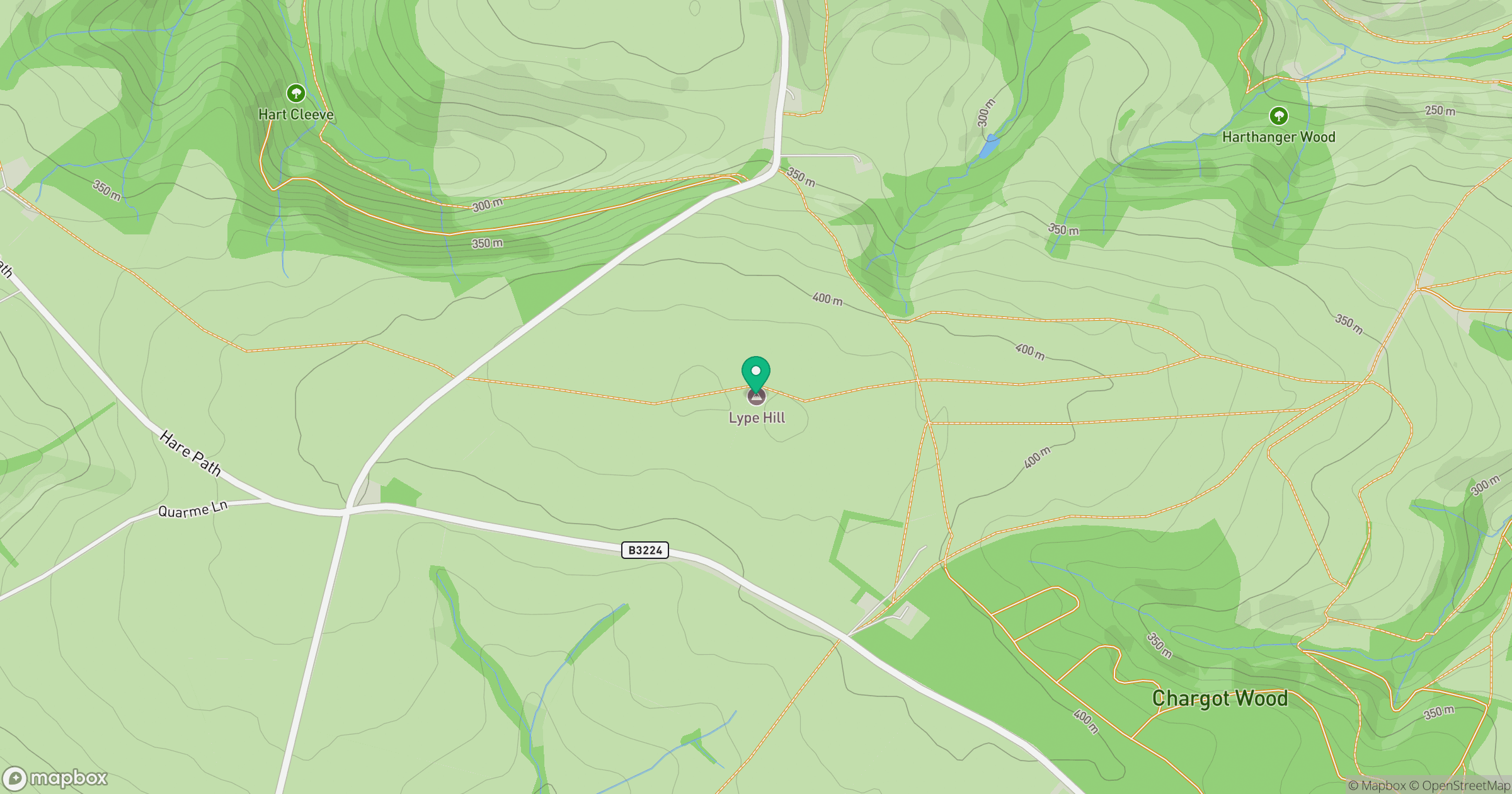
Grid reference: SS950371
View on OpenStreetMapOpens a map in a new tab, centred on the hill.



No comments yet. Be the first.