

Selworthy Beacon
Good walks are even better shared.
SS9147 : West Somerset : Exmoor Footpath
Lewis Clarke Photo source
Overview
Selworthy Beacon
Selworthy Beacon is a 308.5 m Marilyn on Exmoor’s northern ridge in Somerset, within the Holnicote Estate near Minehead. Its prominence is 192.1 m. The exposed top overlooks Exmoor and the Bristol Channel towards Wales when visibility allows. Current hill record
The precise summit
The recorded high point is ground 2 m northwest of the trig, at SS9188847994. DoBIH notes uncertainty beneath the large cairn 5 m west of the trig, which may conceal higher ground. The cairn and the lower memorial/weather hut should not be mistaken for the recorded natural high point.
The ridge is formed of resistant Middle Devonian Hangman Sandstone. Its prehistoric cairn was adapted as a fire beacon, probably in the 16th century. Leave stones and archaeological remains undisturbed. Geology · Cairn history
A complete return walk
The National Trust’s 4.8 km Selworthy and Bury Castle circuit starts and finishes at the village car park, SS920467. It climbs through woodland past Bury Castle, passes the memorial hut, crosses Hill Road and reaches the beacon. The return uses the Coast Path connection and Bossington Hill car park before descending Folly Combe and Selworthy Combe. Follow the linked map and full directions. Full circuit
Although graded easy by its publisher, the route includes steep, stony stretches and limited signage. Allow for your own pace and the weather; no guaranteed duration is given here. Keep dogs controlled, use a short lead around grazing animals, and take care on wet ground and in strong winds.
Travel and facilities
Atwest’s Number 10 serves Selworthy Turn between Minehead and Porlock Weir, Monday–Saturday except public/bank holidays. The village approach adds walking beyond the published circuit. Check your return service. Operator timetable
There is a shop and tea-room in Selworthy. National Trust lists toilets at Horner and Bossington; check services and parking signs before setting out. Sources checked 18 October 2026; no on-foot inspection is claimed.
Explore routes near Selworthy Beacon
Walks starting near this hill. Open a route to check its map, distance and full itinerary.
Bossington Hill dusk and dark-sky walk
View route
Dunkery Beacon sunset ranger walk
View route
Dunster, Gallox Bridge and Bats Castle: deer park hillfort circuit
View route
Lynmouth, Watersmeet and Ash Bridge woodland circuit
View route
Route planning notes
These notes describe possible approaches. Check a route's map and access information when planning your walk.
Selworthy village and Bury Castle circuit
Start and finish at the National Trust village car park, SS920467. Follow the published trail past the church and stream, climb through the woods to Bury Castle, then continue via the memorial hut and cross Hill Road to Selworthy Beacon. Return west by the connecting Coast Path section, Bossington Hill car park and the roadside Easy Access Trail, then descend Folly Combe and Selworthy Combe to the village. The 4.8 km figure is the National Trust’s complete circuit. At the top, DoBIH locates the high ground 2 m northwest of the trig; the hut and cairn are separate features. Use the full route map and directions. Source: https://www.nationaltrust.org.uk/visit/somerset/selworthy/selworthy-and-bury-castle-circular-walk
Make a day of it, together
Find someone to share the walk with, or organise a day out along a route you like.
Photo Gallery
View all Photo could not load
SS9147 : West Somerset : Exmoor Footpath
Lewis Clarke
 Photo could not load
SS9247 : West Somerset : Moorland Path
Lewis Clarke
 Photo could not load
SS9147 : View to the west, from Selworthy Beacon
Roger Cornfoot
 Photo could not load
SS9147 : West Somerset : Exmoor Footpath
Lewis Clarke
 Photo could not load
SS9148 : Thorncombe Hill, the Quantocks, looking towards Selworthy Beacon and the Bristol Channel
A J Paxton
 Photo could not load
SS9147 : Cairn and trig pillar on Selworthy Beacon
Phil Champion
 Photo could not load
SS9147 : Fritillary butterfly at Selworthy Beacon
Phil Champion
 Photo could not load
SS9147 : Trig Pillar on Selworthy Beacon
Phil Champion
 Photo could not load
SS9147 : View from Selworthy Beacon
Graham Horn

SS9148 : View Northwest from Selworthy Beacon
Dr Duncan Pepper
Hill facts and local notes
Classifications
Elevation
308m
1,012 ft
Prominence
192m
Coordinates
51.2208, -3.5495
SS918479
OS Map
181
Explorer: OL9E
At the Summit
DoBIH identifies ground 2 m northwest of the trig point at SS9188847994 as the summit. It notes that the large cairn 5 m west of the trig may conceal higher ground. The cairn, trig and memorial/weather hut are distinct features.
Terrain & Geology
Selworthy Beacon is part of the resistant Middle Devonian Hangman Sandstone ridge. Exmoor National Park’s landscape assessment specifically includes it in this formation; the previous volcanic-tuff description is unsupported.
Views & Scenery
The summit offers breathtaking views over the Bristol Channel, the rugged coastline of Exmoor, and on a clear day, you can even spot the iconic coastline of Wales.
History & Heritage
Historical Significance
The scheduled Selworthy Beacon cairn is prehistoric. Historic England considers it to have been modified for use as a fire beacon, probably in the 16th century. Bury Castle, visited by the village circuit, is a separate Iron Age enclosure.
Getting There & Facilities
Parking
The National Trust’s village circuit starts at Selworthy car park, SS920467. Follow current parking signs and charges. Small parking areas also exist on Hill Road near the beacon, but they are different starts.
Public Transport
Atwest’s Number 10 links Minehead and Porlock Weir via Selworthy Turn. It runs Monday to Saturday, excluding public and bank holidays, according to the operator page checked 18 October 2026. The stop is on the main road, with an additional uphill approach to the village and walking route. Check the operator’s current timetable and return journey before travelling.
Nearby Facilities
Selworthy village has a shop and Periwinkle Tea-room; check opening times. National Trust lists toilets at Horner and Bossington, rather than promising public toilets at the summit or village. Carry water.
Safety Information
Known Hazards
- Steep, stony and muddy paths require suitable footwear; the exposed ridge can be windy.
- Carry a map and follow the published route, which has little signage.
- Keep dogs under close control and on a short lead around livestock and wildlife.
- Protect the prehistoric cairn and other earthworks; do not move stones.
General Safety Tips
- Check weather conditions before setting out
- Carry appropriate clothing and equipment
- Let someone know your planned route
- Take a map, compass, and GPS device
- Carry emergency supplies: food, water, first aid kit, torch
Hills
Some common questions about the hills answered
Are there group walks up Selworthy Beacon?
Many walkers use Walkmates to join or organise walks with others. You can check for group walks around Selworthy Beacon through the maps
Are there other walkers around Selworthy Beacon?
Activity varies by location and time, but Walkmates lets you see whether others have shared walks or shown interest in this area. Find other people through the walking friends search walking friends for Selworthy Beacon search or of course create your own walk for Selworthy Beacon
Can I organise a walk to Selworthy Beacon?
Yes. If there aren’t any walks listed already, you can create a walk and make it available for others to join.
If you're signed up to Walkmates, you can create a walk to Selworthy Beacon.
How do I find a walk up this hill?
There are often multiple ways to walk this hill, depending on experience and route preference. Walkmates helps you explore walks and routes that others have shared.
Can I suggest a new route up Selworthy Beacon?
Yes. You can suggest or create routes to share with others. Walkmates focuses on the social side of walking, so routes are used to help people organise walks and explore areas together, rather than as detailed navigation tools or route libraries.
Other uses really appreciate knowledgeable walkers sharing their routes. Share your favourite route to Selworthy Beacon here
The is an error or something incorrect about this hill. How do I let you know?
We always strive to keep the information on Walkmates as accurate as possible. If you find an error, please let us know through the contact form and we'll aim to correct it as quickly as possible
Community Discussion
Comments
Location
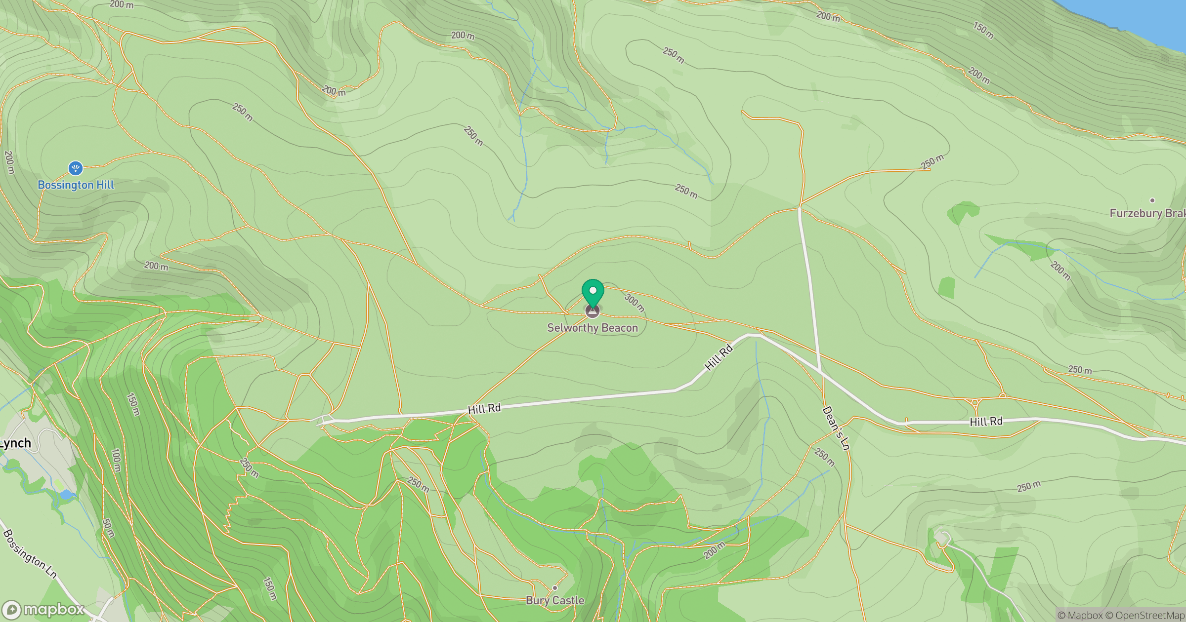
Grid reference: SS918479
View on OpenStreetMapOpens a map in a new tab, centred on the hill.
Nearby Hills
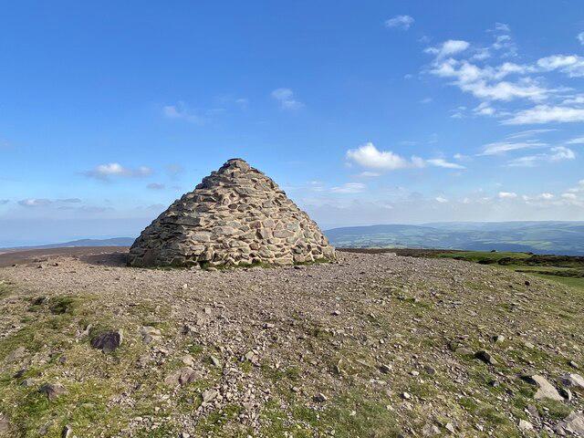
Dunkery Beacon
520m
Fan Gyhirych
726m
Pen y Fan
886m
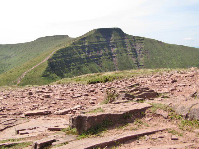
Cribyn
794m
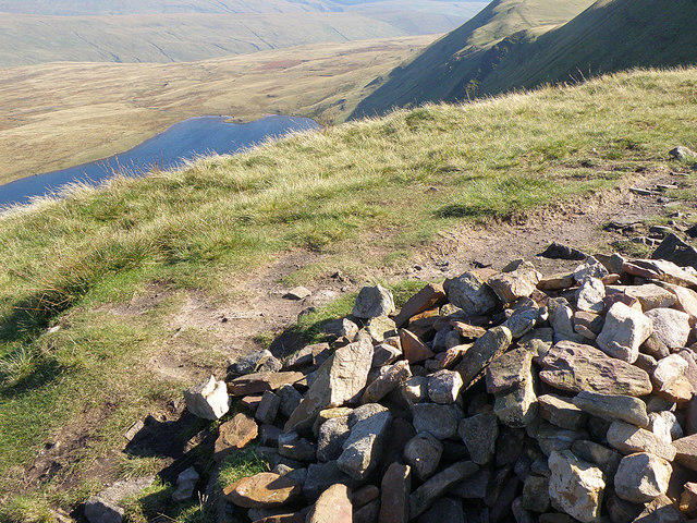
Fan Brycheiniog - Twr y Fan Foel
802m
No comments yet. Be the first.